USFSR #642K Old Wade Mtwy
Total Miles
0.7
Technical Rating
Best Time
Spring, Summer
Trail Type
Full-Width Road
Accessible By
Trail Overview
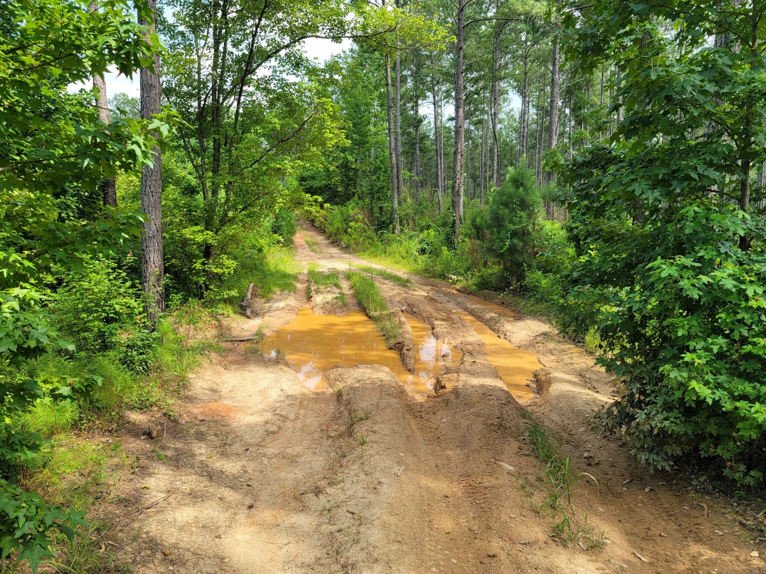
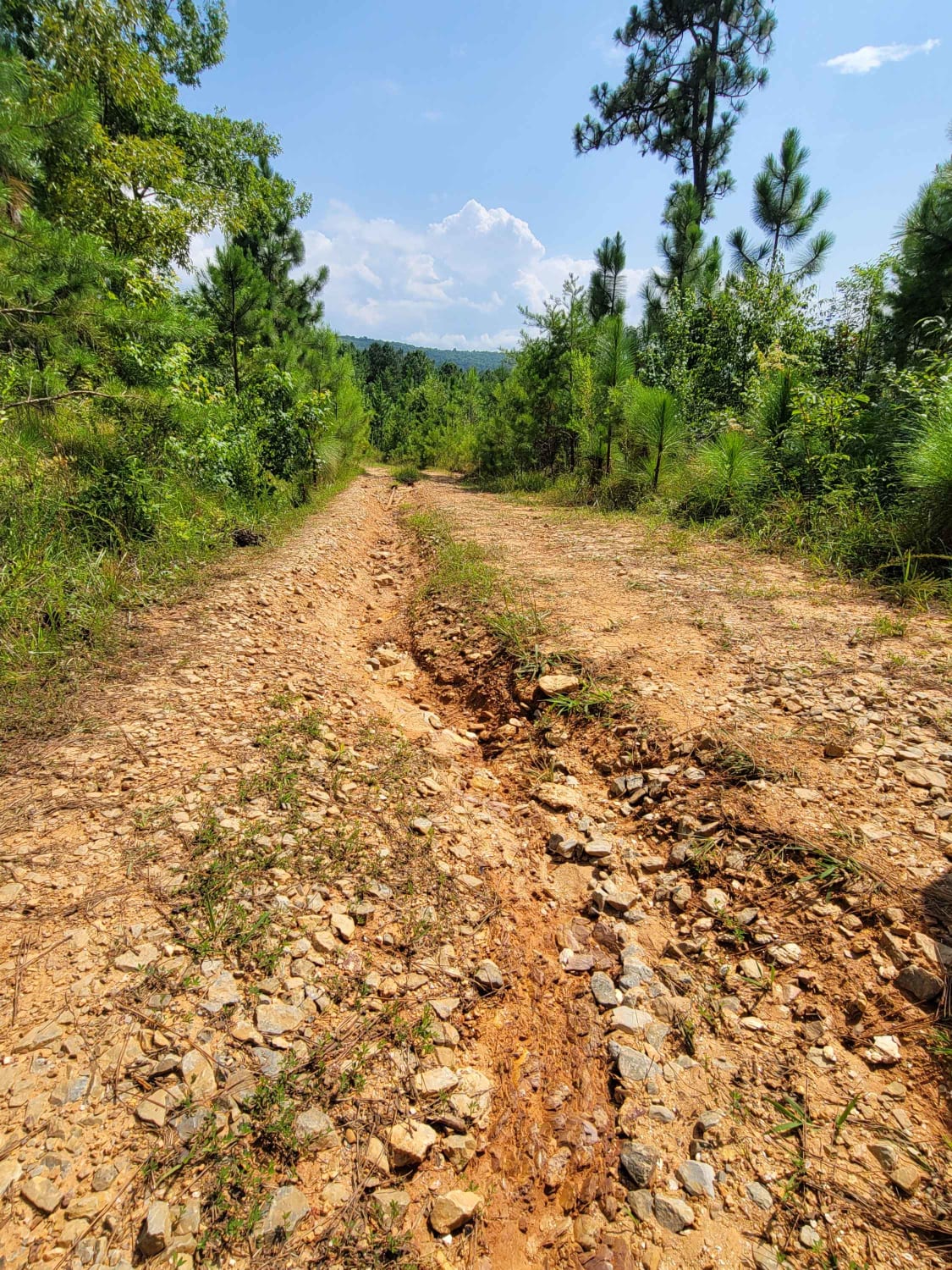
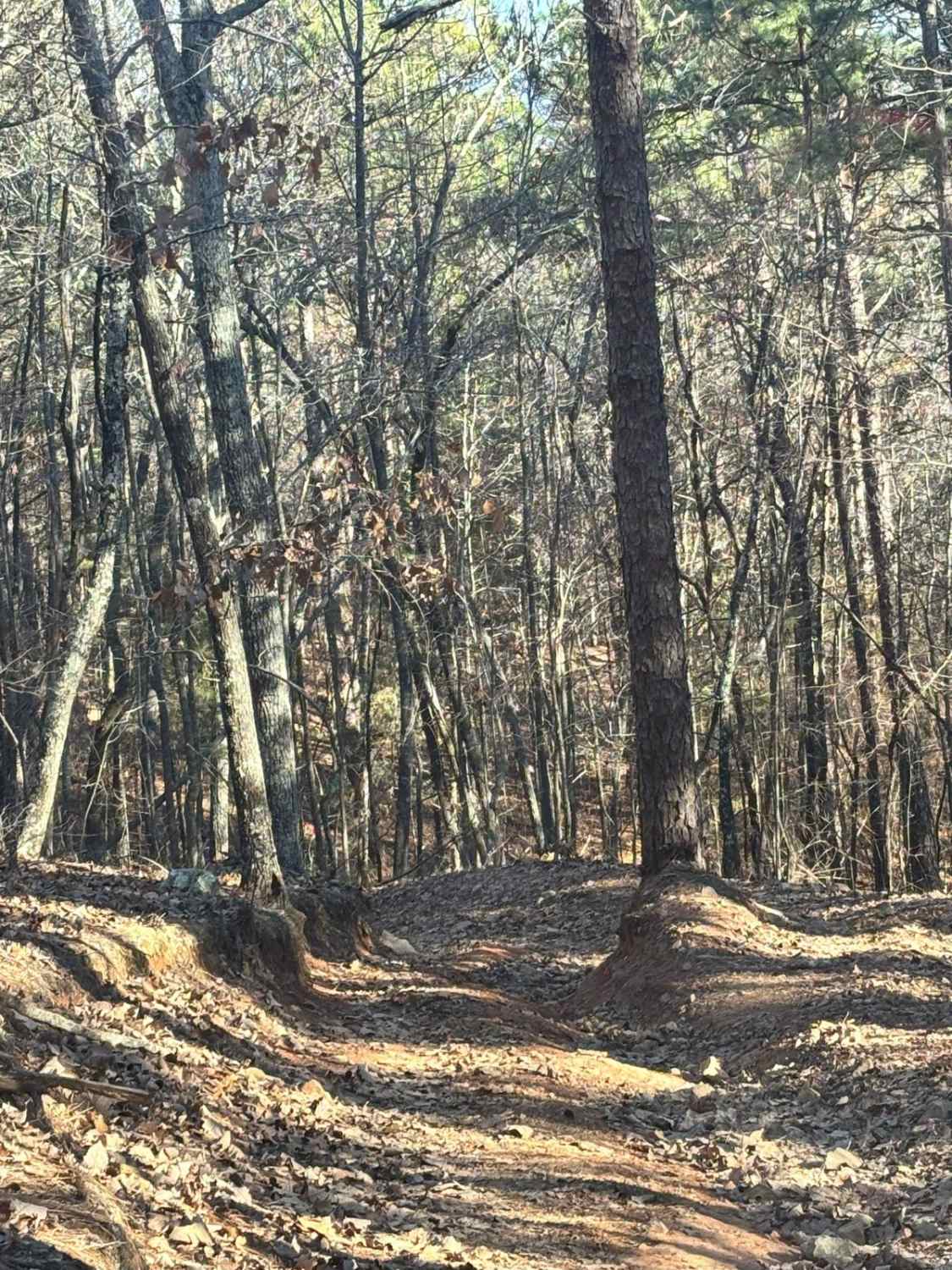
USFSR #642K Old Wade Mtwy is a heavily traveled gravel route through a pine thicket of dense vegetation. It begins at Salt Creek Rd in Talladega County and ends in a large clearing before you enter into Cleburne County. The local traffic has consistently made additional paths to connect 642K to 642, with the Forest Service consistently trying to block paths, especially once giant mud holes are eroded out from attempts to get over the large dirt mount blockades. This gate is normally locked due to the high traffic flow from riders attempting to see the beautiful Salt Creek. Should you try your luck at getting to Salt Creek, you should expect rutted trails that hold water year round creating difficult obstacles for those with inadequate tire tread and non- functional 4WD systems(Level 4 Difficulty). The connector and the Salt Creek crossing is not on the Motor Vehicle Use Map.
Photos of USFSR #642K Old Wade Mtwy
Difficulty
642K is an easy trail with the occasional mud hole, but the connector is much more difficult with an increased rating to level 4. Make no mistake on the connector, it is extremely muddy with multiple mud holes. During times of heavy rain, this rating could increase.
Status Reports
USFSR #642K Old Wade Mtwy can be accessed by the following ride types:
- High-Clearance 4x4
- SUV
USFSR #642K Old Wade Mtwy Map
Popular Trails
USFSR #534 - Rabbit
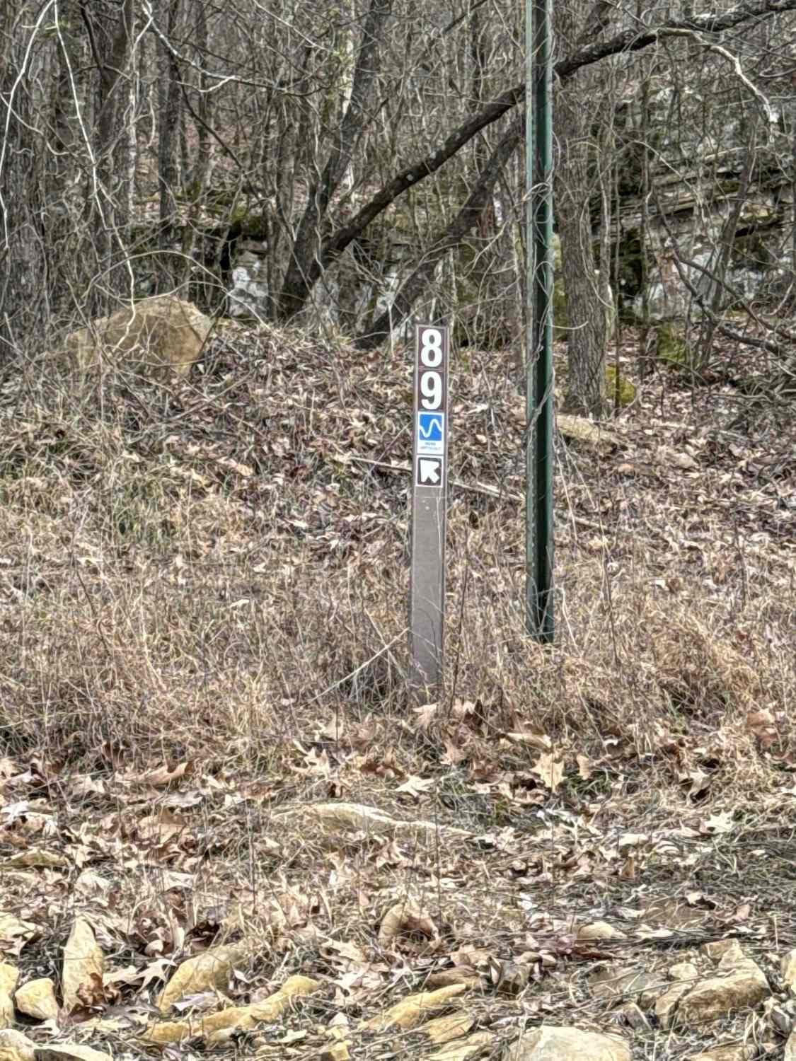
#89 Gobbler's Ridge
The onX Offroad Difference
onX Offroad combines trail photos, descriptions, difficulty ratings, width restrictions, seasonality, and more in a user-friendly interface. Available on all devices, with offline access and full compatibility with CarPlay and Android Auto. Discover what you’re missing today!