Jamison Creek
Total Miles
5.4
Technical Rating
Best Time
Summer, Spring, Fall
Trail Type
Full-Width Road
Accessible By
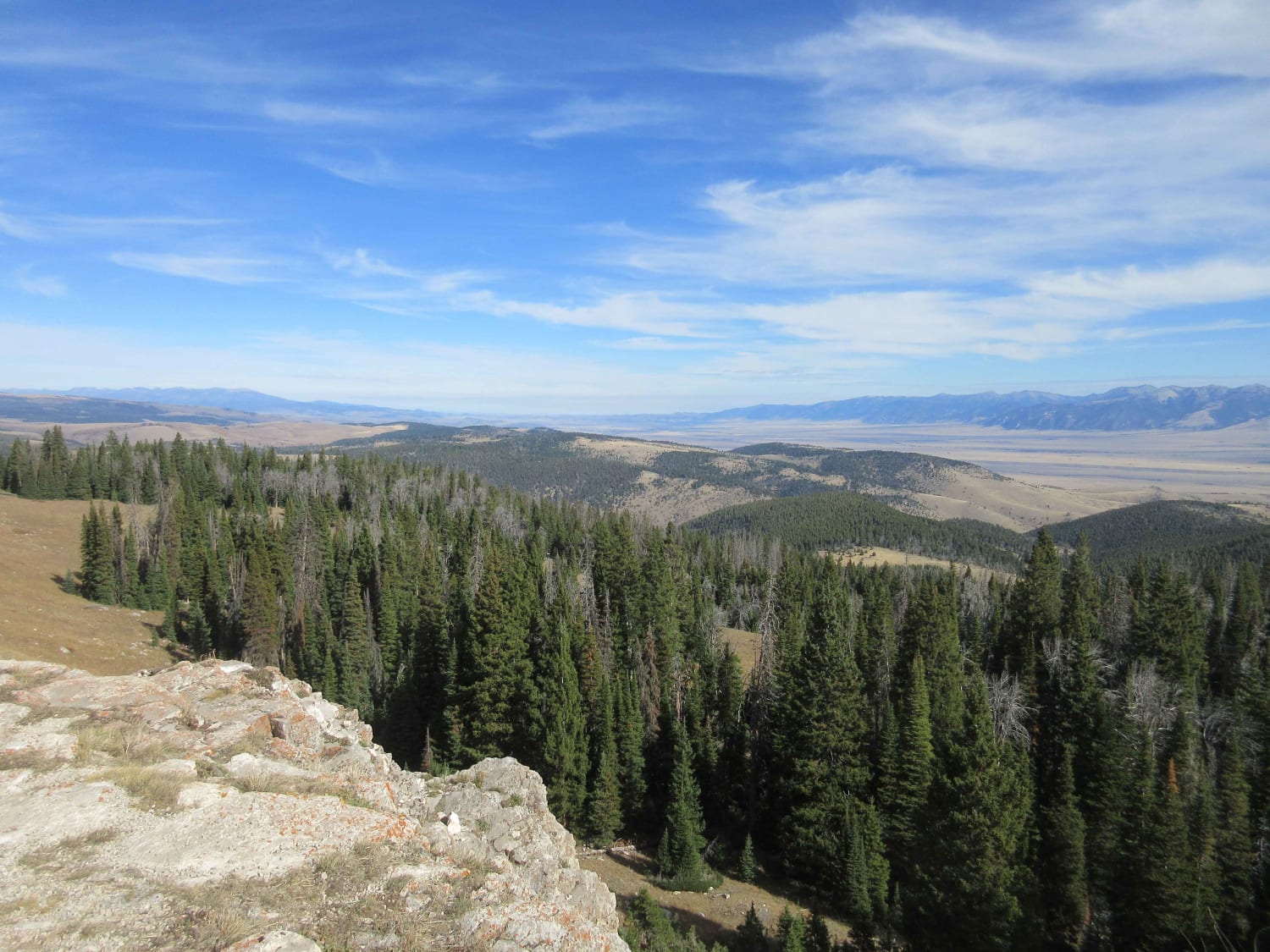
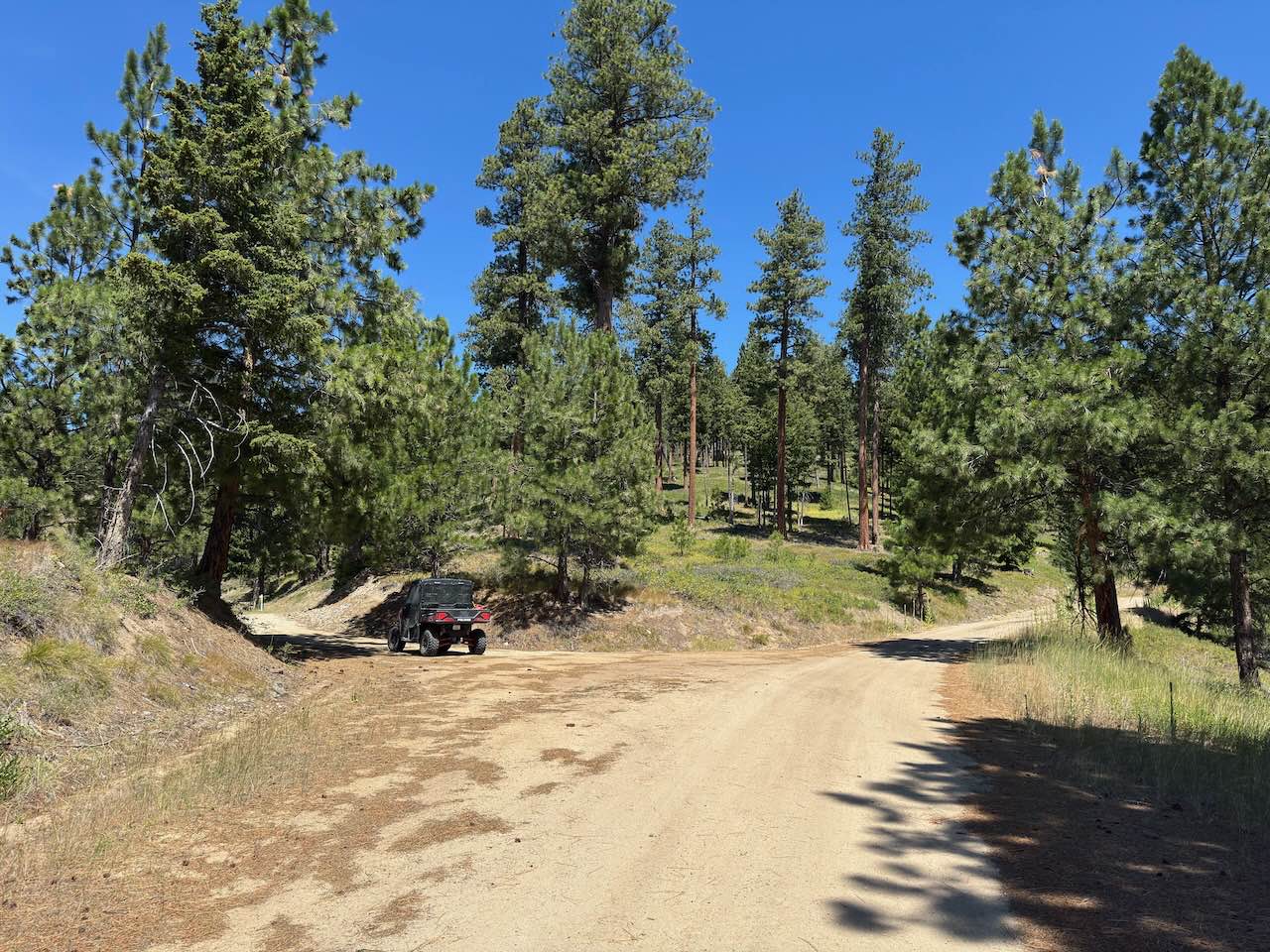
Trail Overview
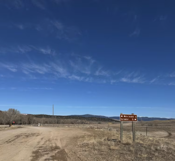
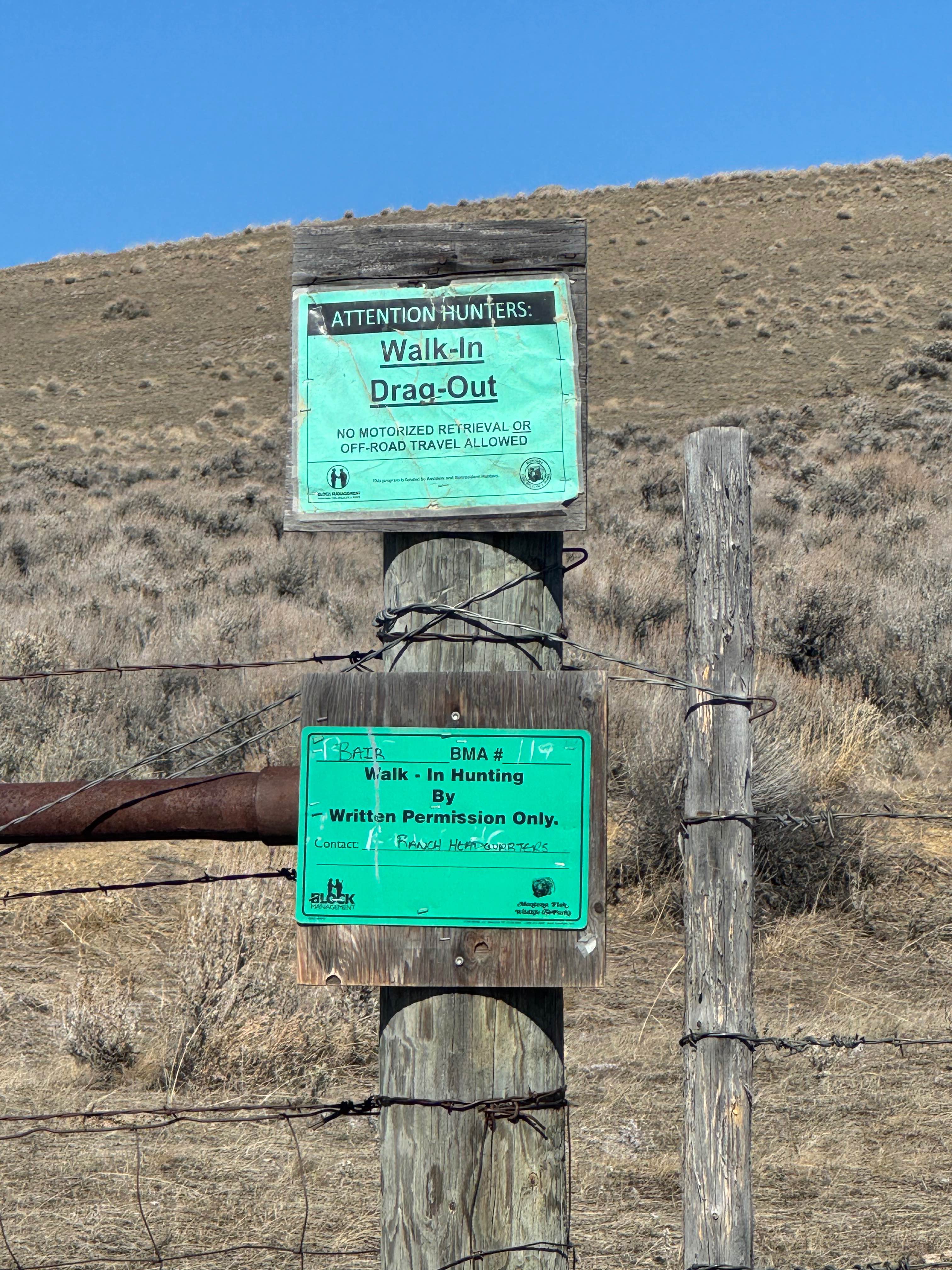
This trail comes off the highway and connects to a gully system through a high plains hunting area. The majority of the trail is relatively flat until the last section that goes into the gully. Once in the gully, many other trails can be accessed. I will update this trail system soon. The trail is relatively mellow for a 4WD truck; however, there was considerable slush and mud, and unexpected deep holes even in the flat section. Birds and high plain animals can be seen, but there is very little tree cover until the gully is reached. There is no cell service or gas stations nearby, so come prepared.
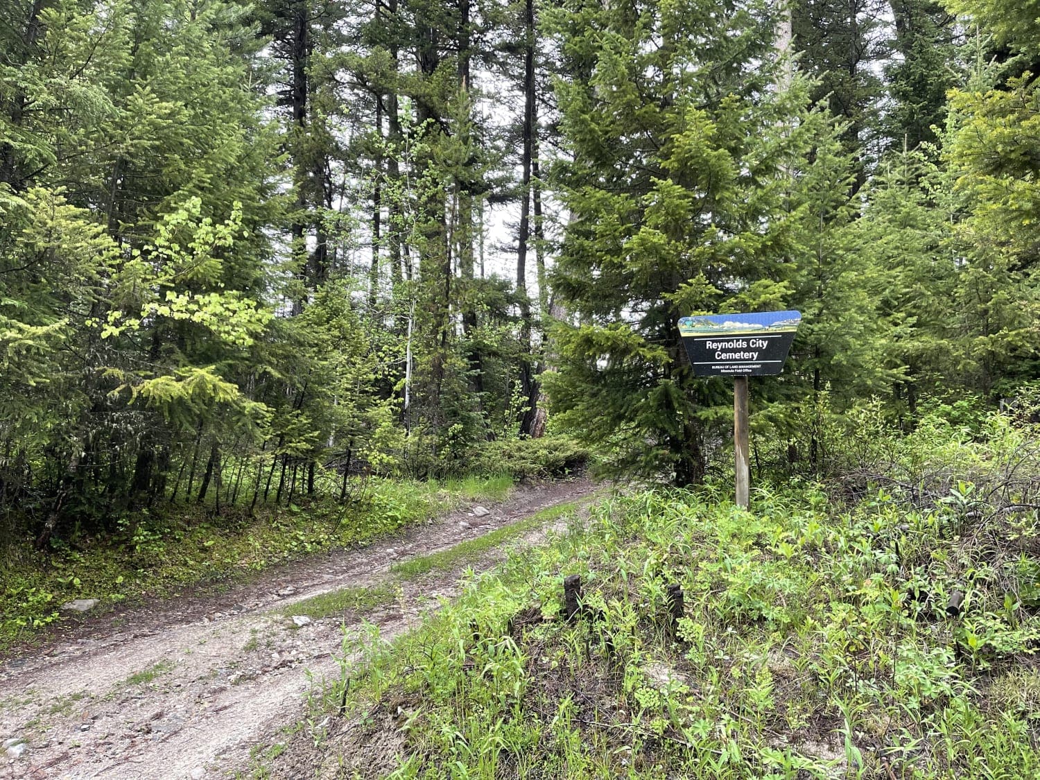
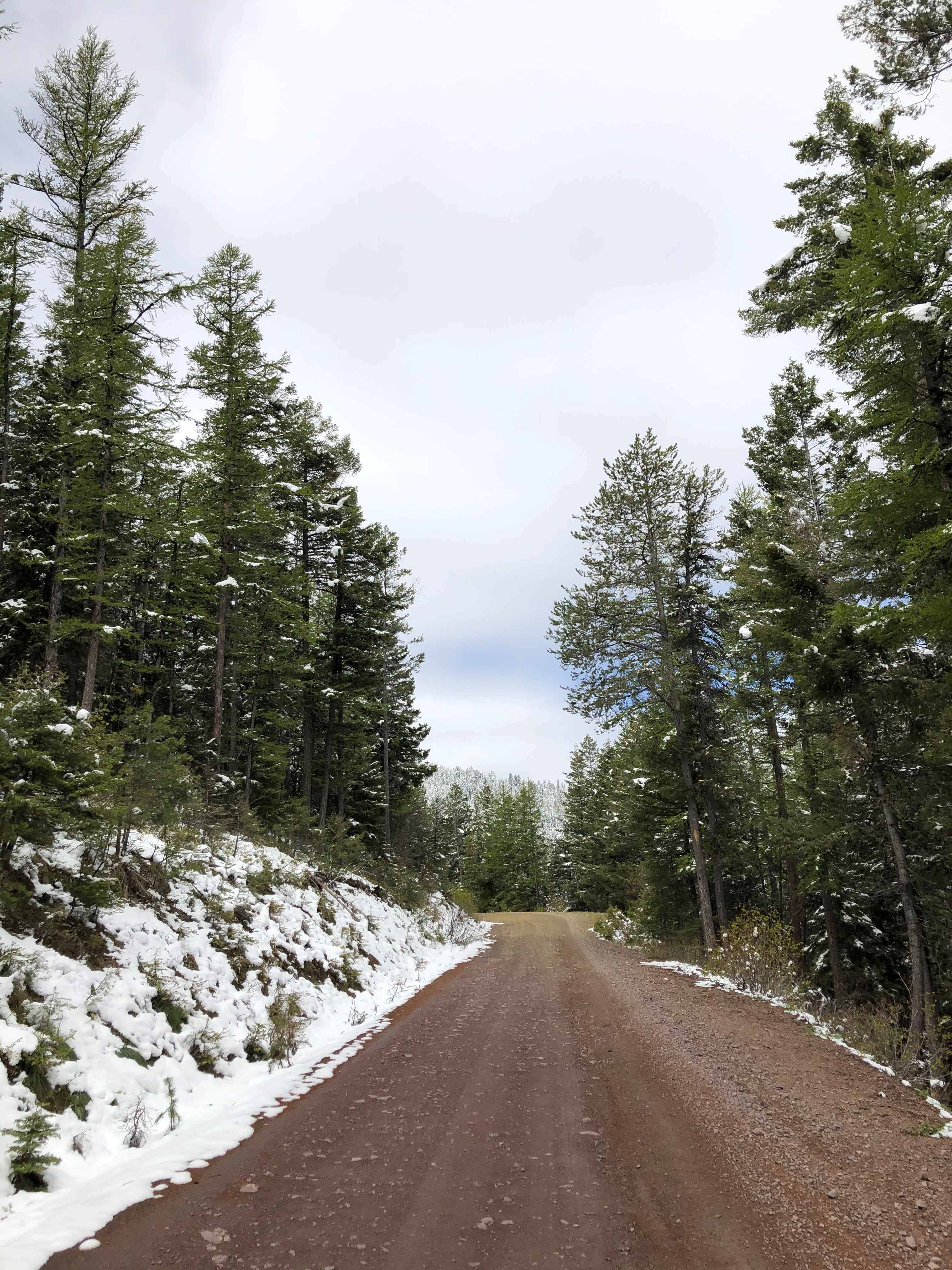
Photos of Jamison Creek
Difficulty
Fairly mellow trail in the summer, a few big potholes, and one tricky switchback. Winter can be more challenging with large mud and slush holes.
Status Reports
Jamison Creek can be accessed by the following ride types:
- High-Clearance 4x4
- SUV
- SxS (60")
- ATV (50")
- Dirt Bike
Jamison Creek Map
Popular Trails
Eastern Garnet Range Road
Johnny Ridge Road - FS324
The onX Offroad Difference
onX Offroad combines trail photos, descriptions, difficulty ratings, width restrictions, seasonality, and more in a user-friendly interface. Available on all devices, with offline access and full compatibility with CarPlay and Android Auto. Discover what you’re missing today!