Lodgepole Pass
Total Kilometers
76.1
Technical Rating
Best Time
Summer
Trail Type
Full-Width Road
Accessible By
Trail Overview
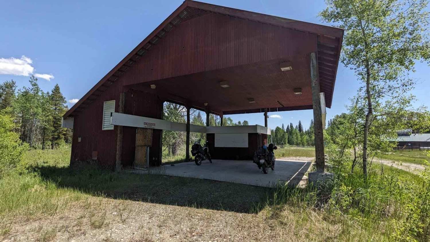
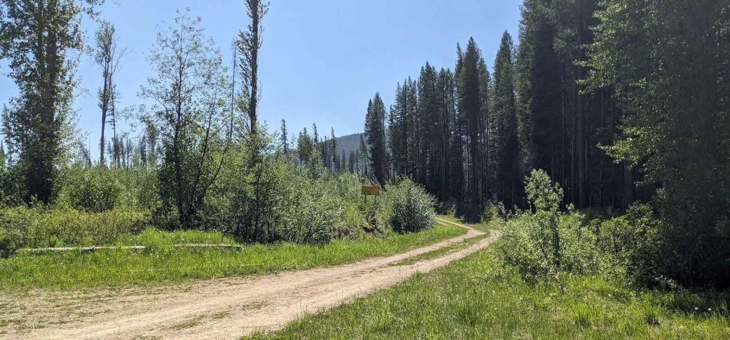
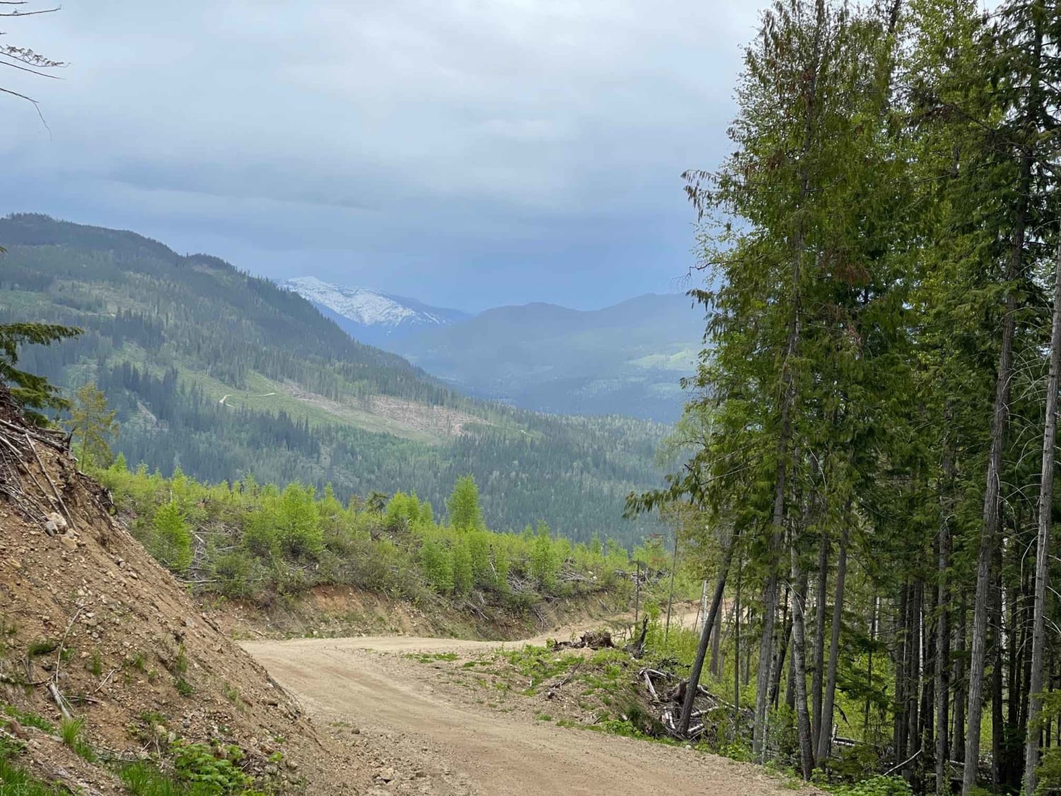
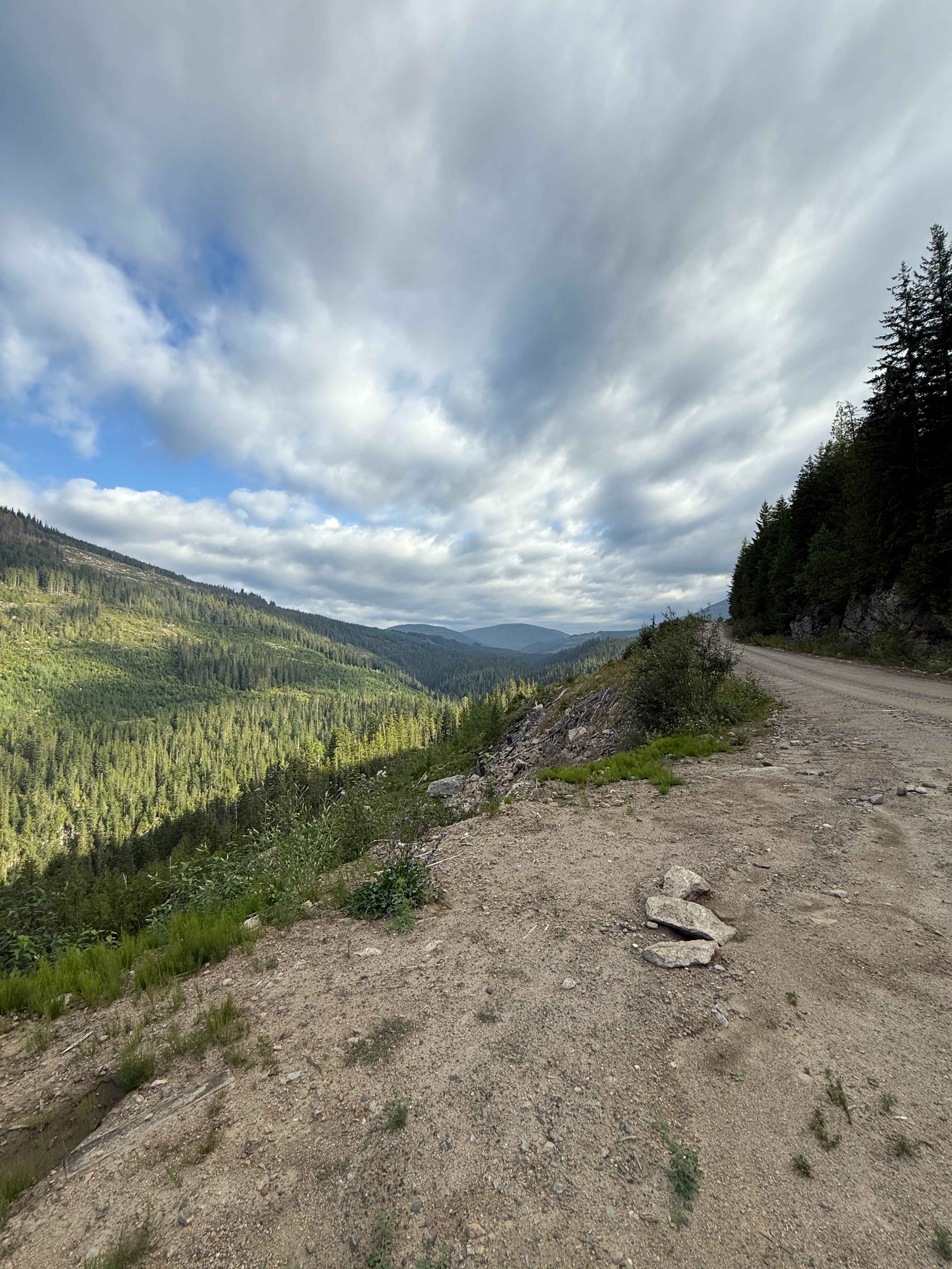
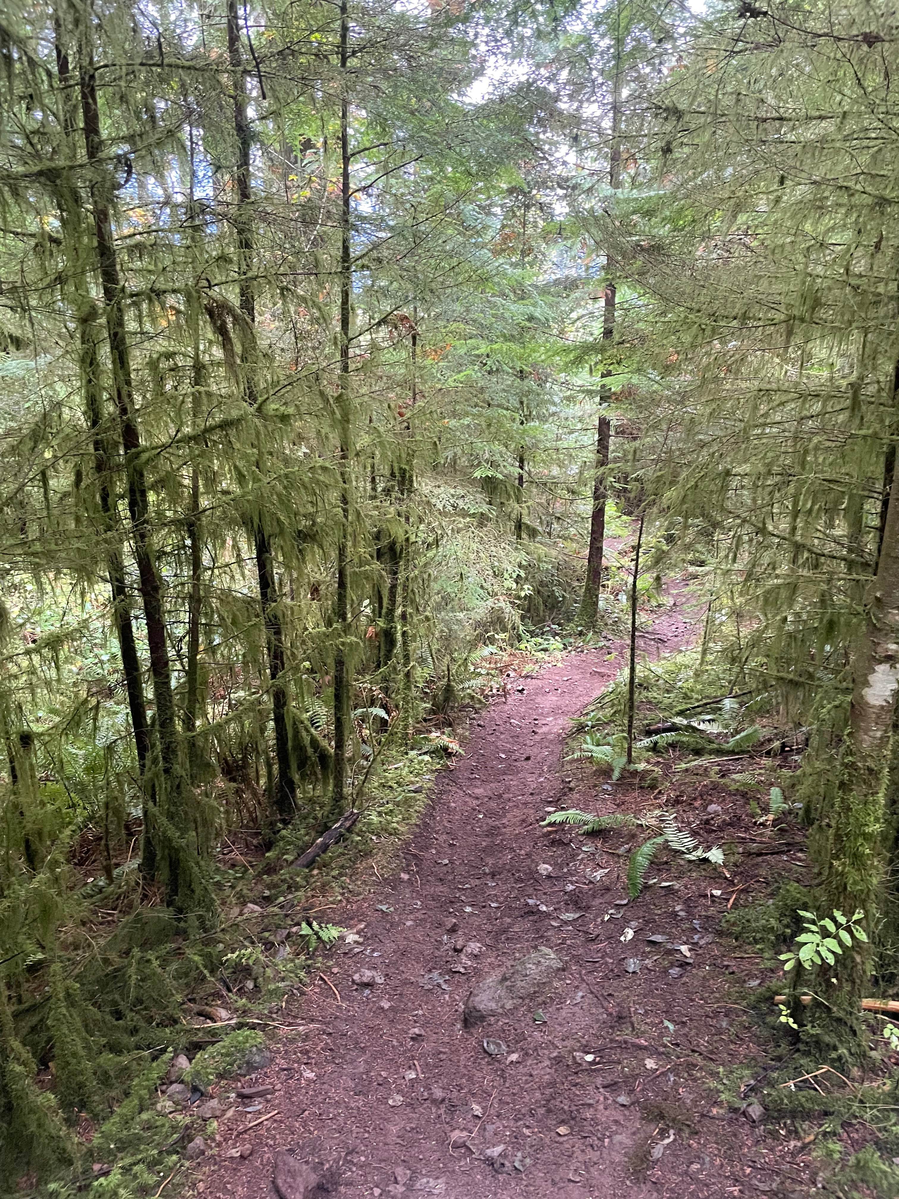
This trail is the west access to an abandoned border crossing. You will start at Lodgepole Road, which is a hard-packed gravel road. It will take you through multiple valleys to a Sasquatch sign. From there, you will turn south onto the Flathead Forest Service Road. It will be a good, hard-packed gravel road, and it will start to narrow down, getting more overgrown until you reach the abandoned border crossing, where you will find multiple buildings & foundations. Please respect the area & structures. All bridges have been refurbished to concrete bridges.
Photos of Lodgepole Pass
Difficulty
A 4WD vehicle or Adventure Bikes are preferred for the last 10 kilometers (6 miles) due to overgrowth with some small deadfall at times, and it can be rutted & slippery on wet days.
Status Reports
Lodgepole Pass can be accessed by the following ride types:
- High-Clearance 4x4
- SUV
Lodgepole Pass Map
Popular Trails
Maks Road
Scotch Creek FSR

Bald Eagle Range FSR
The Climbs - Holiday Hill Connector
The onX Offroad Difference
onX Offroad combines trail photos, descriptions, difficulty ratings, width restrictions, seasonality, and more in a user-friendly interface. Available on all devices, with offline access and full compatibility with CarPlay and Android Auto. Discover what you’re missing today!