Mincy Bee Creek Trail
Total Miles
2.5
Technical Rating
Best Time
Spring, Summer, Fall, Winter
Trail Type
Full-Width Road
Accessible By
Trail Overview
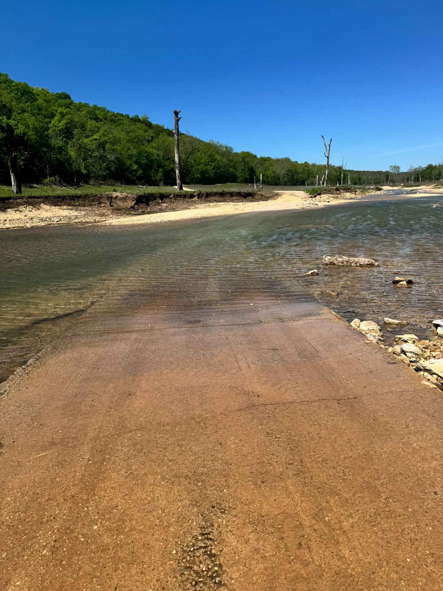
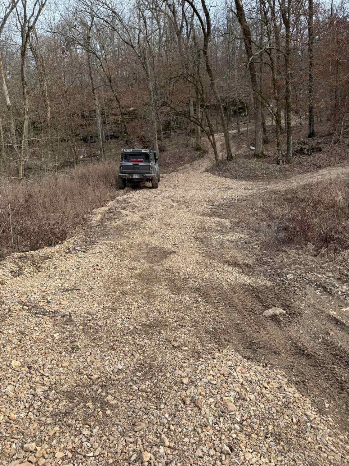
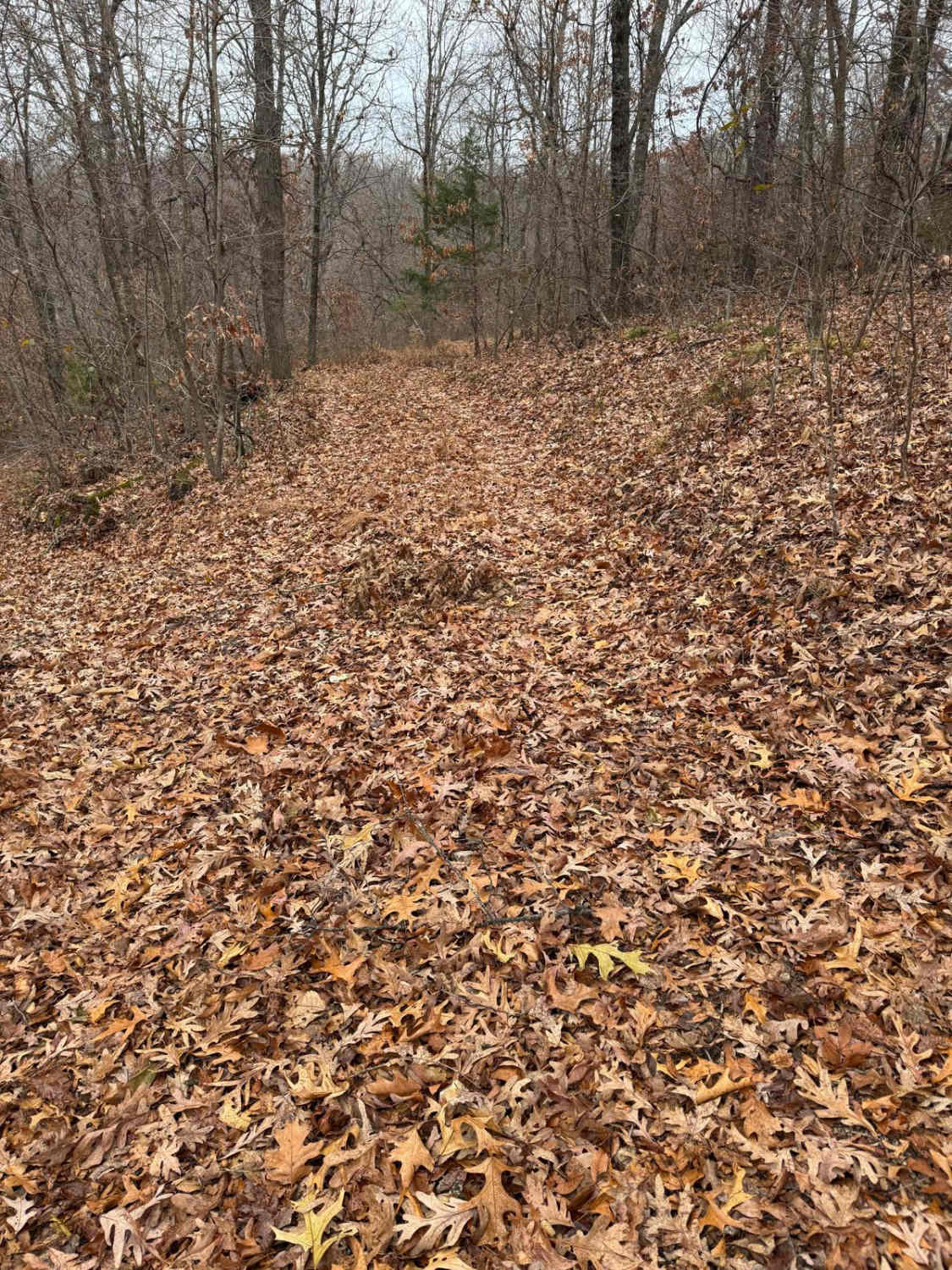
This is a maintained gravel road with several low-water crossings that may appear shallower than they actually are, so use caution. The road continues uphill and dead-ends in the woods; it is not advisable to drive all the way to the dead end. When the lake level is low, there is plenty of room to turn around at the bottom of the hill.
Photos of Mincy Bee Creek Trail
Difficulty
Due to the possible high water at the low water crossings, this trail earns a 2 rating. If you can't see the concrete base, I would be certain of your rig's abilities.
History
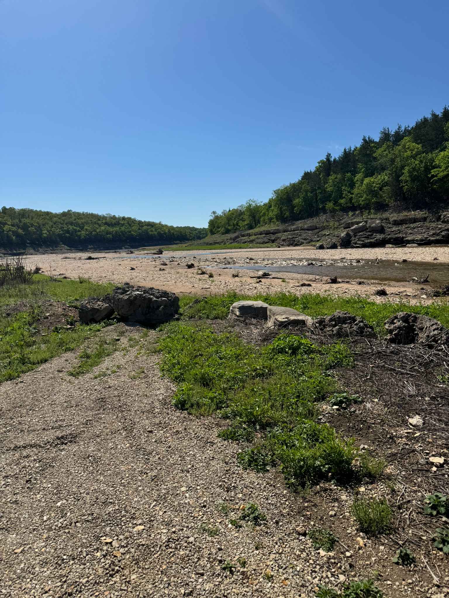
Along this trail is the historic Bee Creek schoolhouse and cemetery. As well as this trail dead ends right onto the banks of Bull Shoals Lake.
Status Reports
Mincy Bee Creek Trail can be accessed by the following ride types:
- High-Clearance 4x4
- SUV
- SxS (60")
- ATV (50")
- Dirt Bike
Mincy Bee Creek Trail Map
Popular Trails

Joe Bill Bluff - RD27

Blooming Rose Spur B
The onX Offroad Difference
onX Offroad combines trail photos, descriptions, difficulty ratings, width restrictions, seasonality, and more in a user-friendly interface. Available on all devices, with offline access and full compatibility with CarPlay and Android Auto. Discover what you’re missing today!