Nw2006a
Total Miles
1.5
Technical Rating
Best Time
Spring, Fall, Winter
Trail Type
Full-Width Road
Accessible By
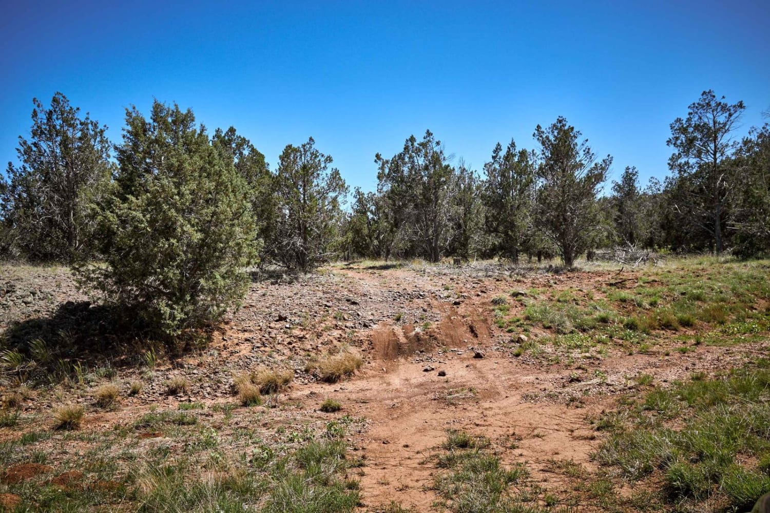
Trail Overview
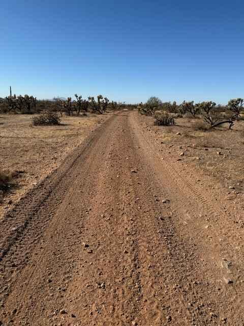
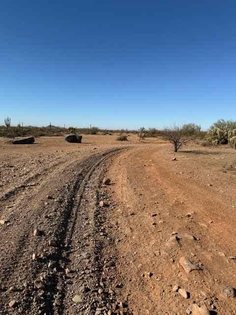
Nw2006a is located to the East of Arizona State Route 79 and South of the Box Canyon trail. This is a side trail to the main North/South Nw2006 trail. The trail consists of dirt and small rocks. It is wide and suitable for full-size vehicles. One bar of Verizon LTE service was available.
Photos of Nw2006a
Difficulty
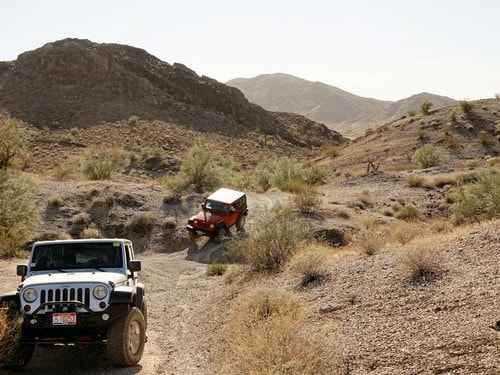
This is a dirt or rocky road with gentle grades. It is safe for most 4WD and high-clearance 2WD vehicles. The roads are typically two vehicles wide.
Status Reports
Nw2006a can be accessed by the following ride types:
- High-Clearance 4x4
- SUV
- SxS (60")
- ATV (50")
- Dirt Bike
Nw2006a Map
Popular Trails
Saddle Mountain/Dog Saddle
El Supremo
The onX Offroad Difference
onX Offroad combines trail photos, descriptions, difficulty ratings, width restrictions, seasonality, and more in a user-friendly interface. Available on all devices, with offline access and full compatibility with CarPlay and Android Auto. Discover what you’re missing today!