Four Creeks State Forest Main Road
Total Miles
6.4
Technical Rating
Best Time
Spring, Summer, Fall, Winter
Trail Type
Full-Width Road
Accessible By
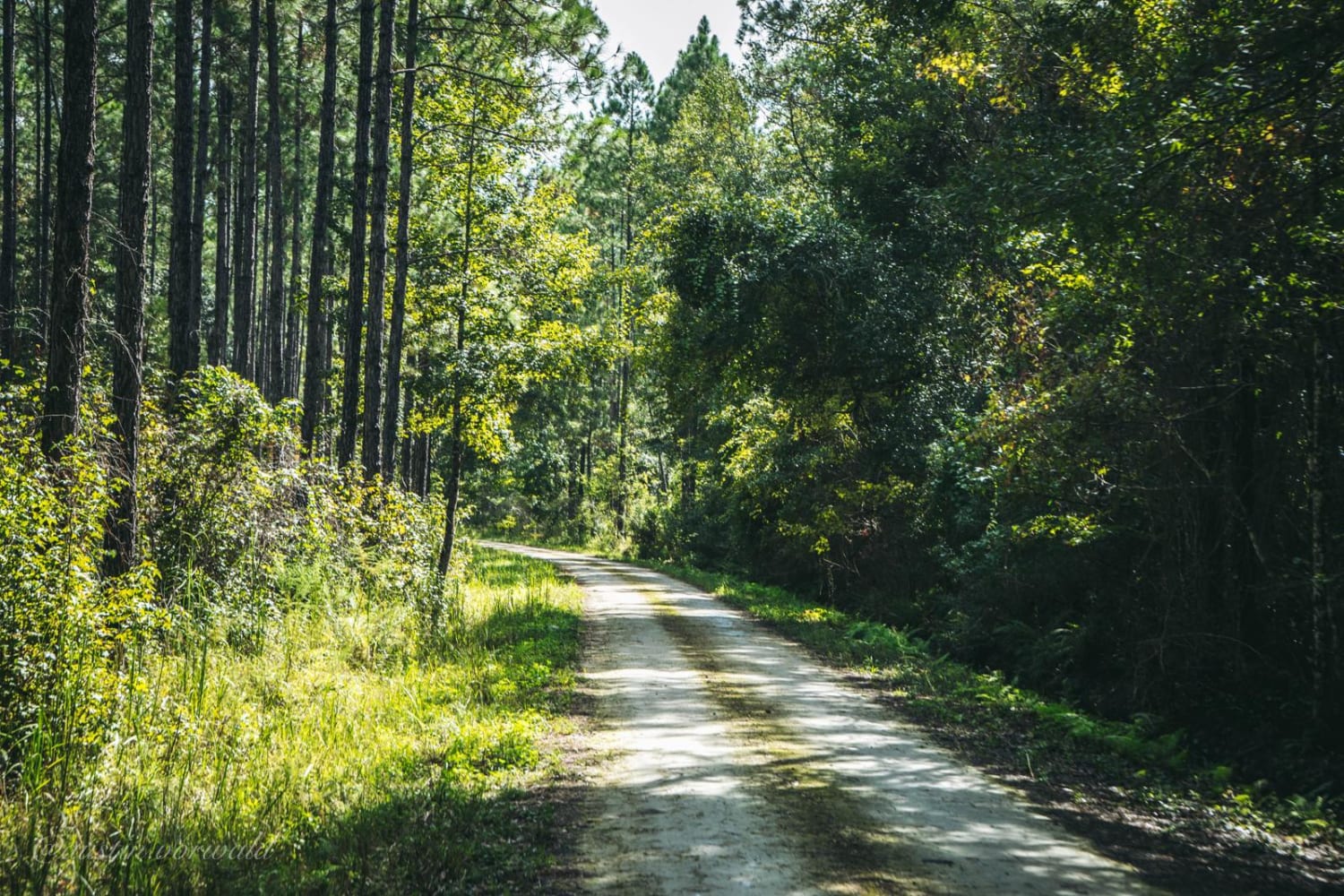
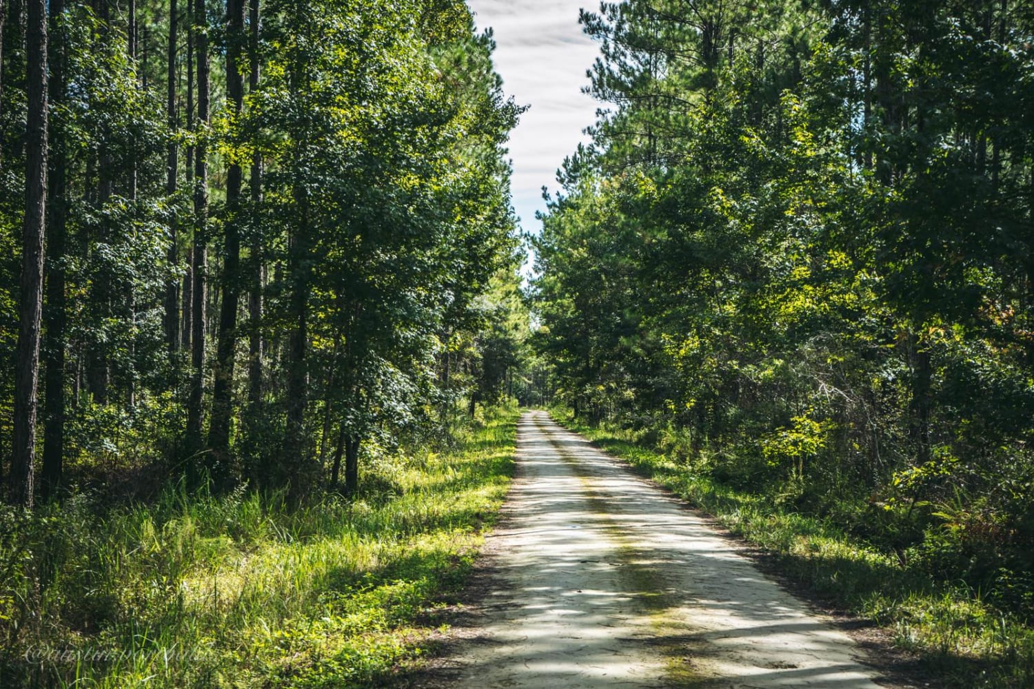
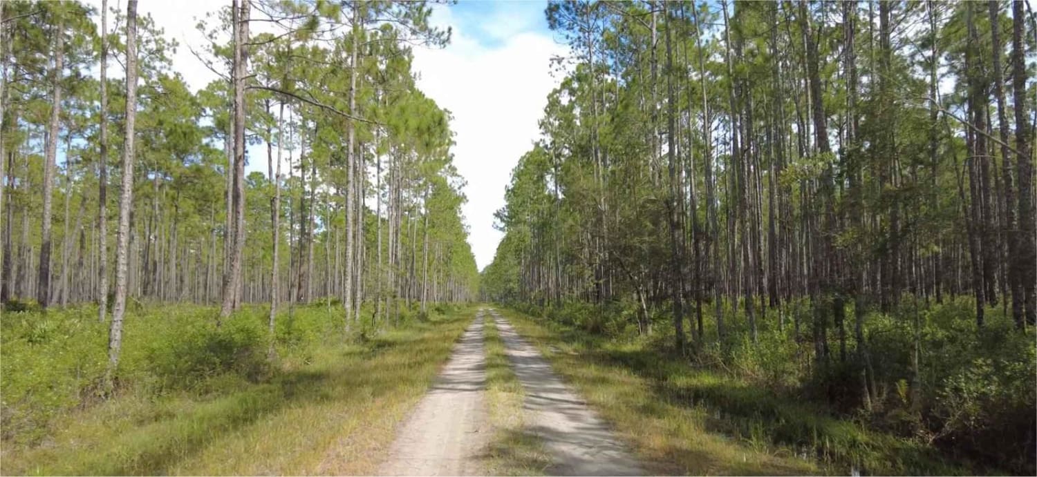
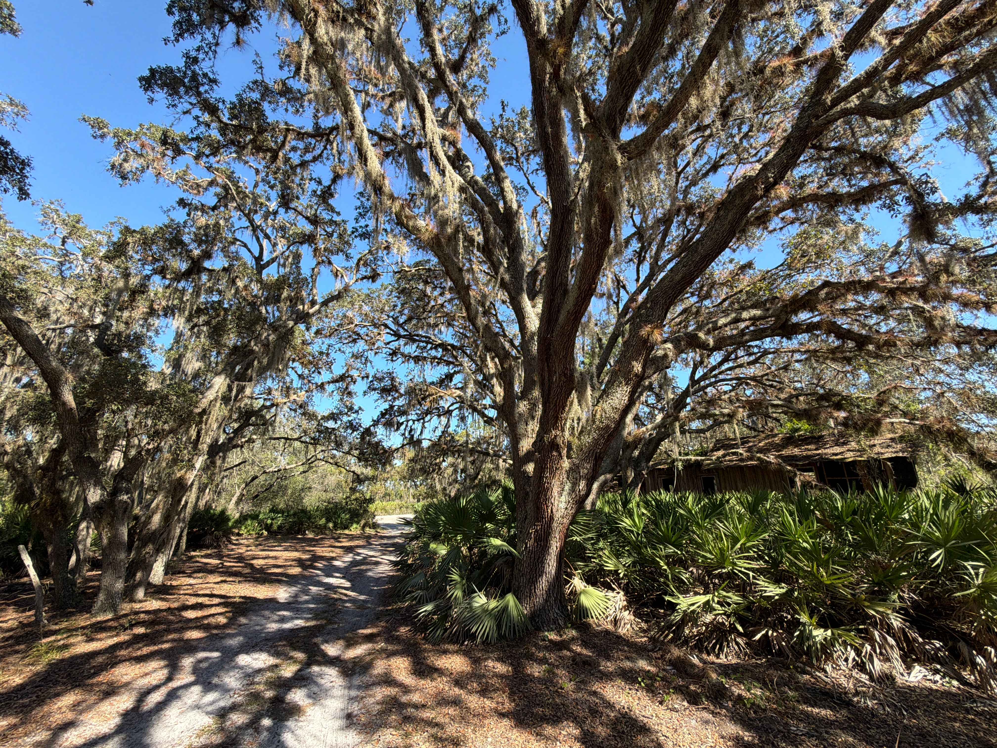
Trail Overview
The main road of Four Creeks State Forest allows access to multiple small boats and kayak launches and numerous roads to explore and is a combination of Pacetti Road and Five Mile Road. The road is easy for any vehicle to pass in the first 3.8 miles. The last 2.6 miles may have water on the road if it has rained heavily recently which allows for a fun adventure along the main road. The entire road is 1 vehicle wide, so be cautious going around turns.
Photos of Four Creeks State Forest Main Road
Difficulty
The road is a single lane wide and is easy with a few shallow water crossings.
History
Four Creeks State Forest is located between Callahan and Yulee, Florida, on approximately 13,658 acres in Nassau County. The property was acquired jointly by the St. Johns River Water Management District and Florida Forever Program's Northeast Florida Timberlands and Watershed Reserve Project. Four Creeks were named after the four water systems that cross them: Alligator (Mills), Thomas, Boggy, and Plummer Creeks. The four creeks join to form the headwaters of the Nassau River, which borders the southeastern portion of the forest.
Status Reports
Four Creeks State Forest Main Road can be accessed by the following ride types:
- High-Clearance 4x4
- SUV
Four Creeks State Forest Main Road Map
Popular Trails
Cary State Forest - Cary Tract
Long Loop Road 4 - Three Lakes WMA

Otter Grade

ONF Trail 17-2.6
The onX Offroad Difference
onX Offroad combines trail photos, descriptions, difficulty ratings, width restrictions, seasonality, and more in a user-friendly interface. Available on all devices, with offline access and full compatibility with CarPlay and Android Auto. Discover what you’re missing today!