Willow Mountain to Burnt Fork Lake Hiking trail
Total Miles
20.1
Technical Rating
Best Time
Spring, Summer, Fall
Trail Type
Full-Width Road
Accessible By
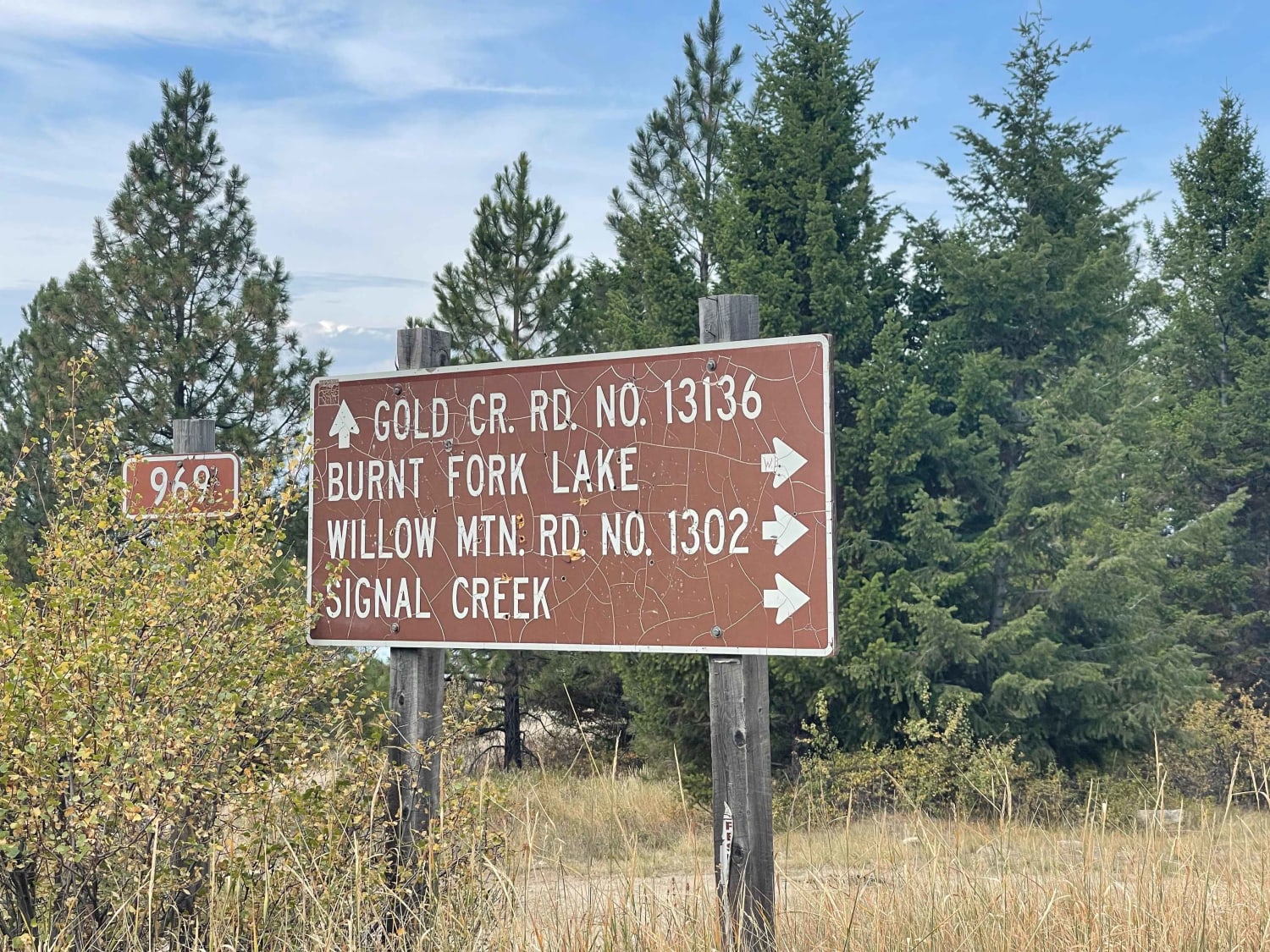
Trail Overview
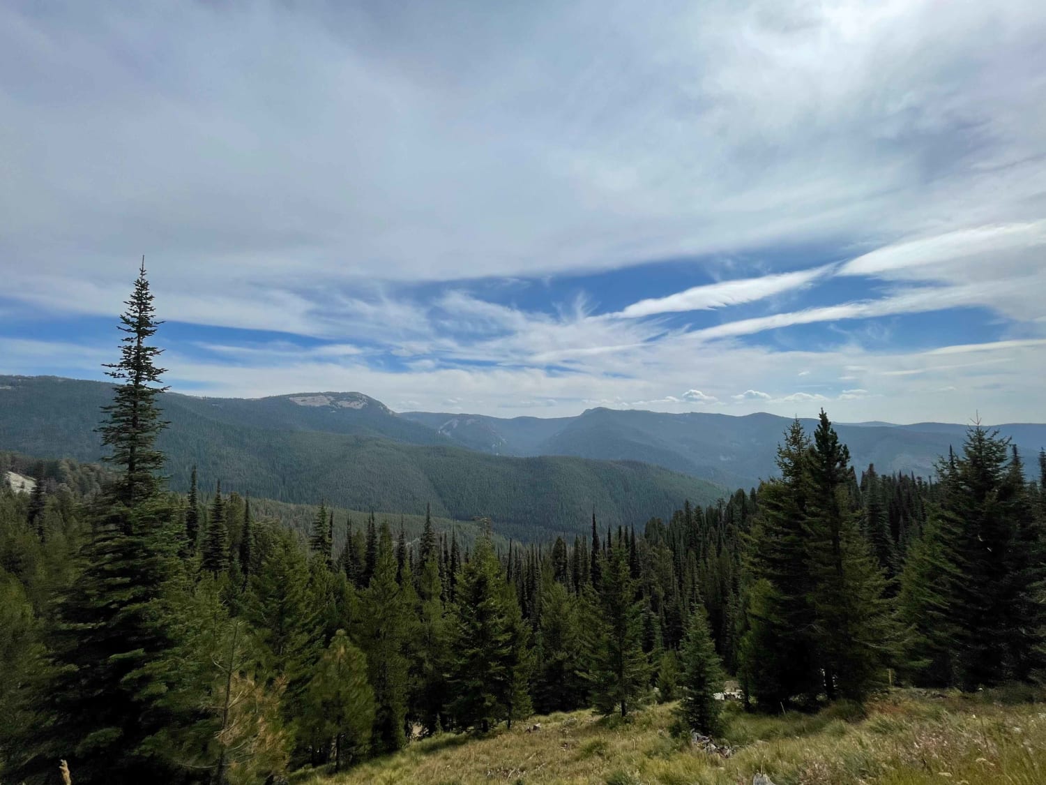
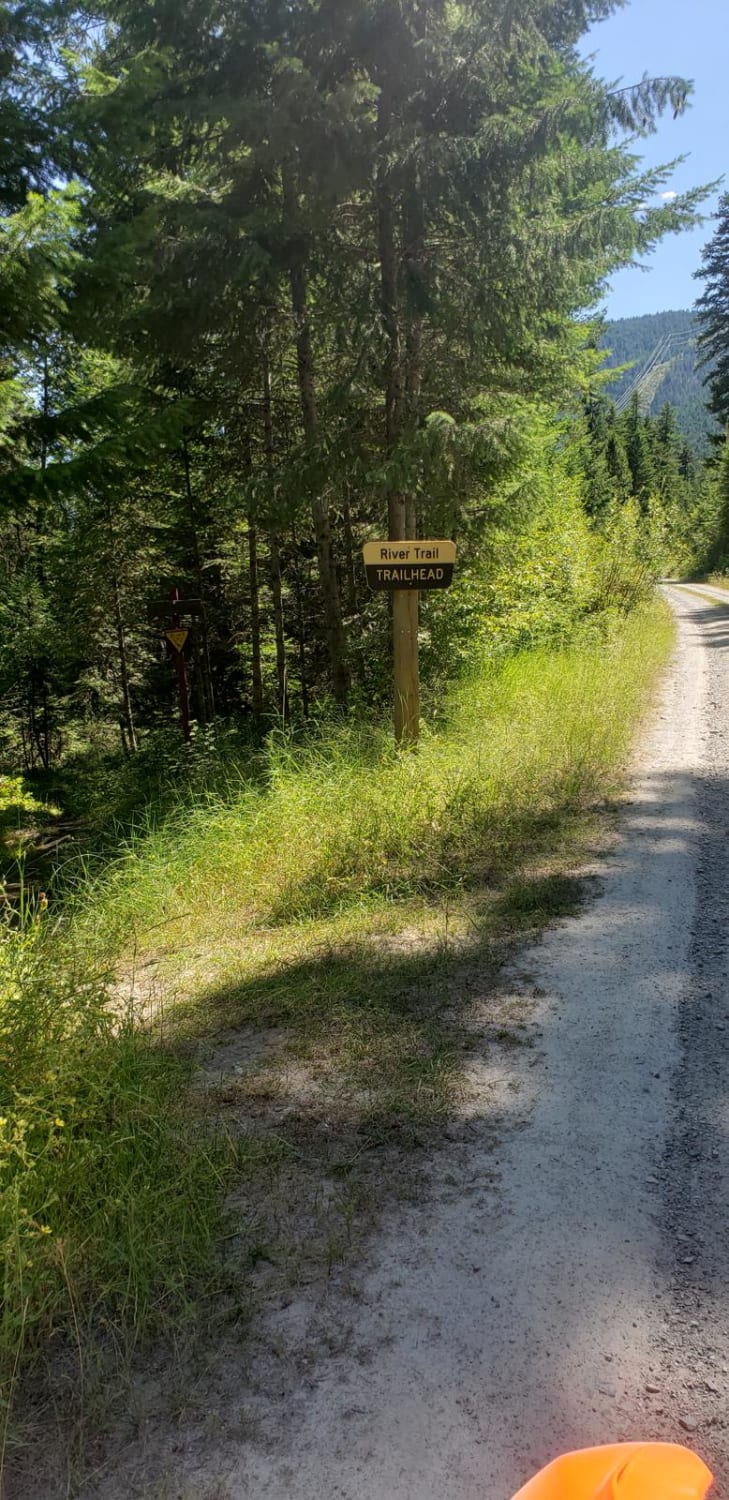
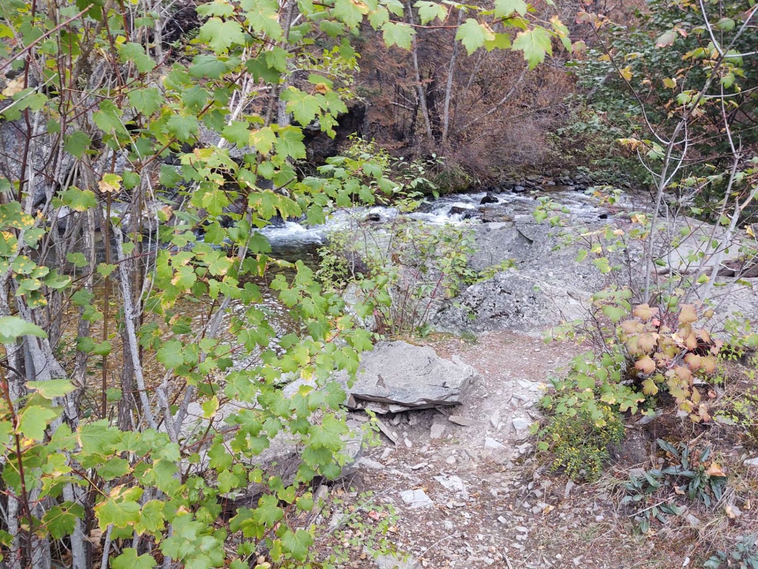
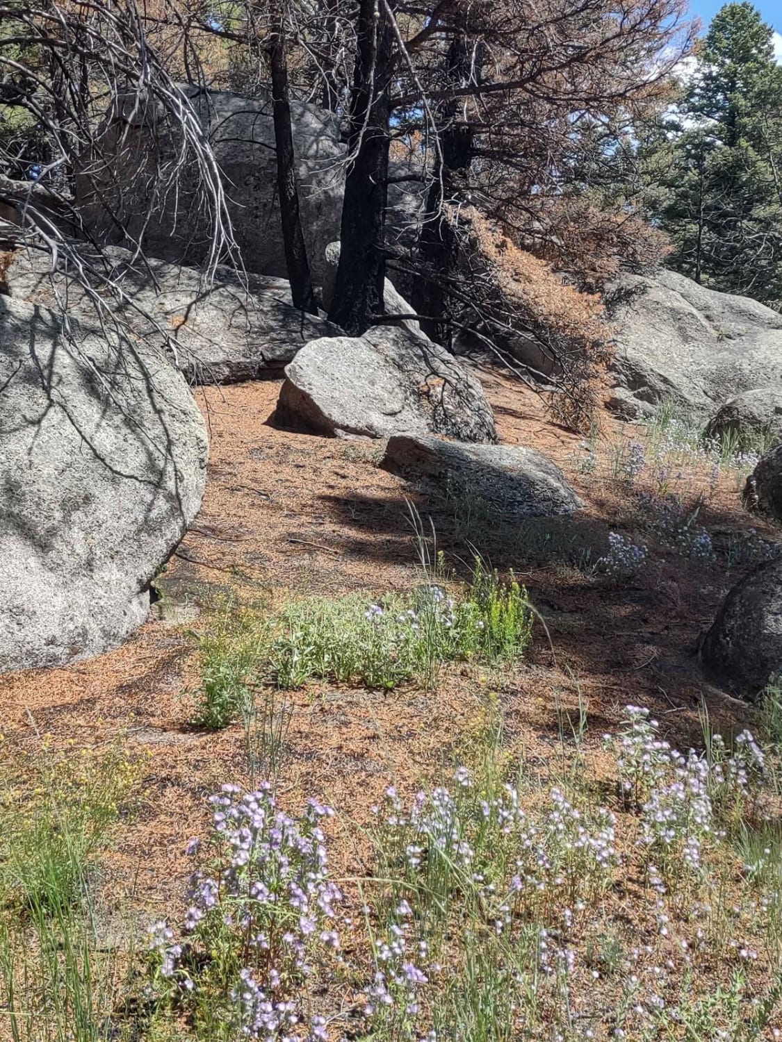
Easy graded narrow trail. Lots of pullouts to pass other drivers; some of the corners are steeper with looser gravel. Be alert for people collecting firewood and their trucks parked right in the road as they drag trees from the forest. We encountered horseback riders, dirtbike riders, and SXS's on the trail. There are vast, beautiful views of the Bitterroot Valley. Occasional dispersed camping spots along the way. The lookout tower gate was closed and located and is a half-mile hike to get to the lookout tower. The road continues through the forest and ends at another locked gate where you could continue on foot and hike to the Burnt Fork Lake
Photos of Willow Mountain to Burnt Fork Lake Hiking trail
Difficulty
Mostly graded with some loose gravel sections on switchbacks Narrow in some places with blind corners. Maybe impassable in winter and spring once the snow comes in.
Willow Mountain to Burnt Fork Lake Hiking trail can be accessed by the following ride types:
- High-Clearance 4x4
- SUV
- SxS (60")
- ATV (50")
- Dirt Bike
Willow Mountain to Burnt Fork Lake Hiking trail Map
Popular Trails

Rock Creek/Leadville
Graves Creek Falls/Vermilion
Boulder Alley Spur
The onX Offroad Difference
onX Offroad combines trail photos, descriptions, difficulty ratings, width restrictions, seasonality, and more in a user-friendly interface. Available on all devices, with offline access and full compatibility with CarPlay and Android Auto. Discover what you’re missing today!