Little Gladesville - FS 1026
Total Miles
5.0
Technical Rating
Best Time
Spring, Summer, Fall, Winter
Trail Type
Full-Width Road
Accessible By
Trail Overview
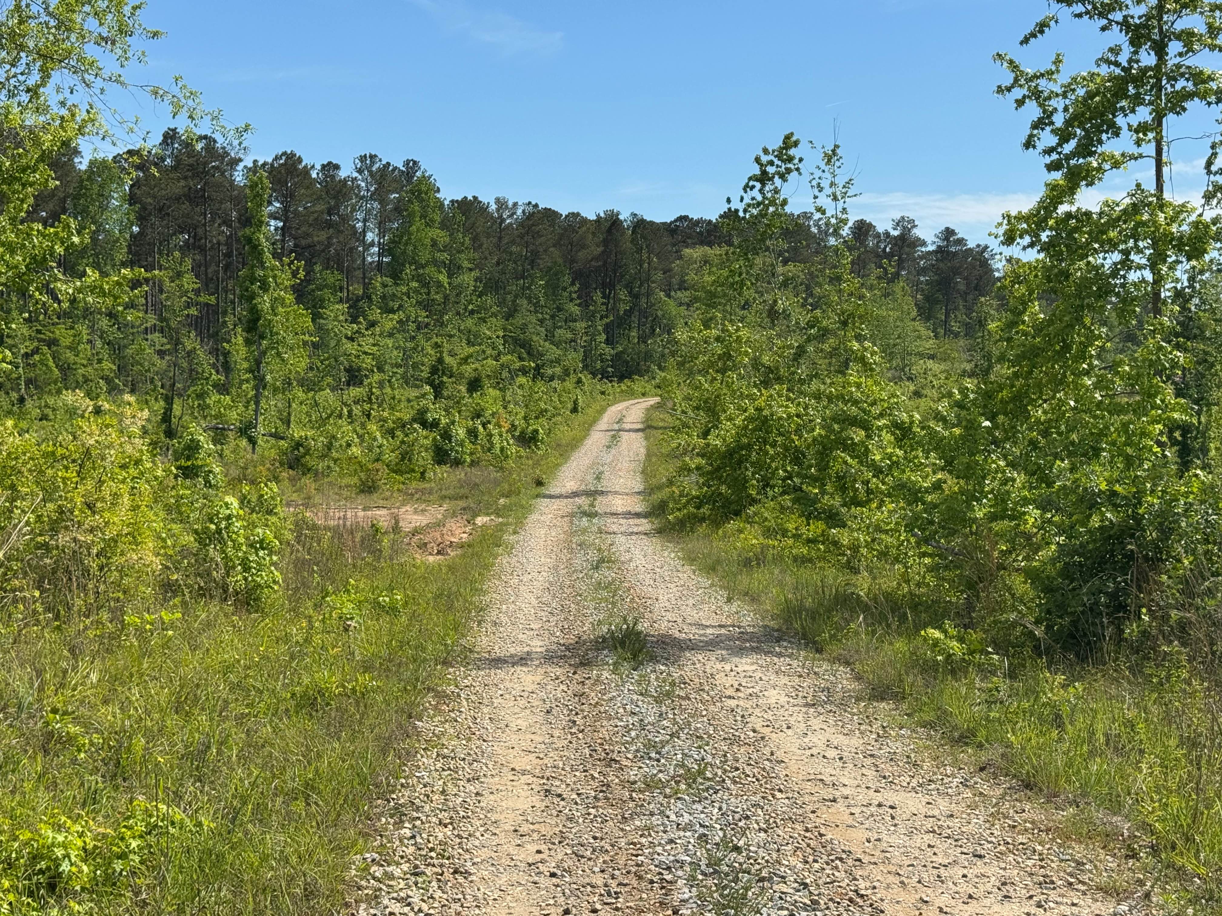
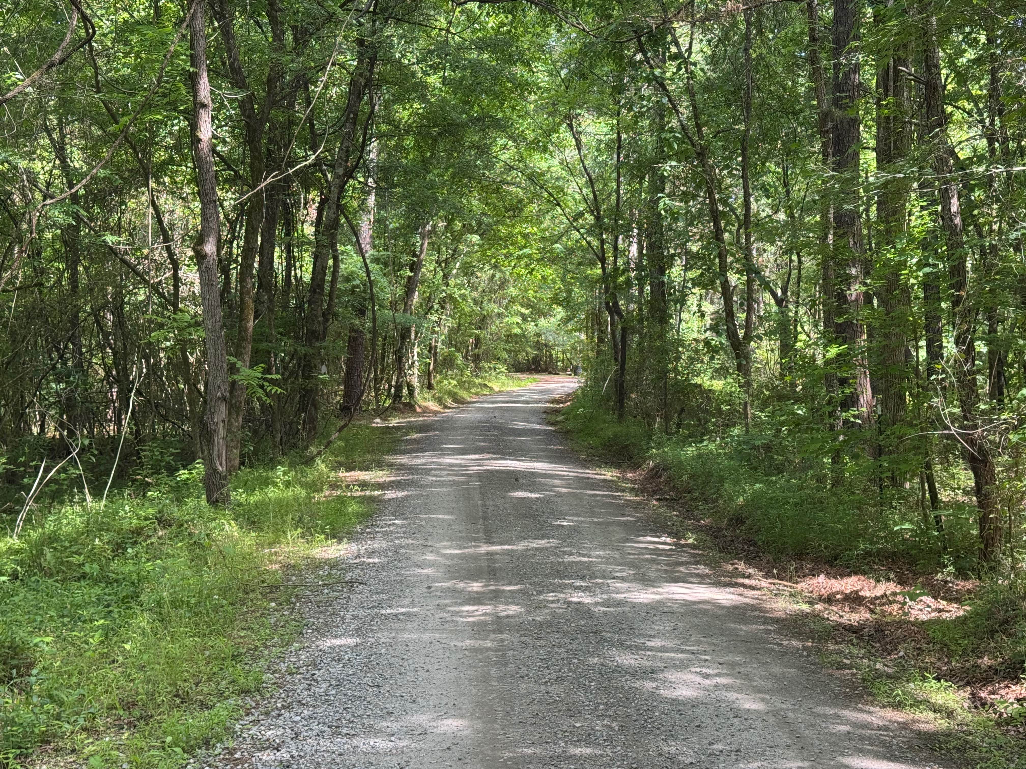
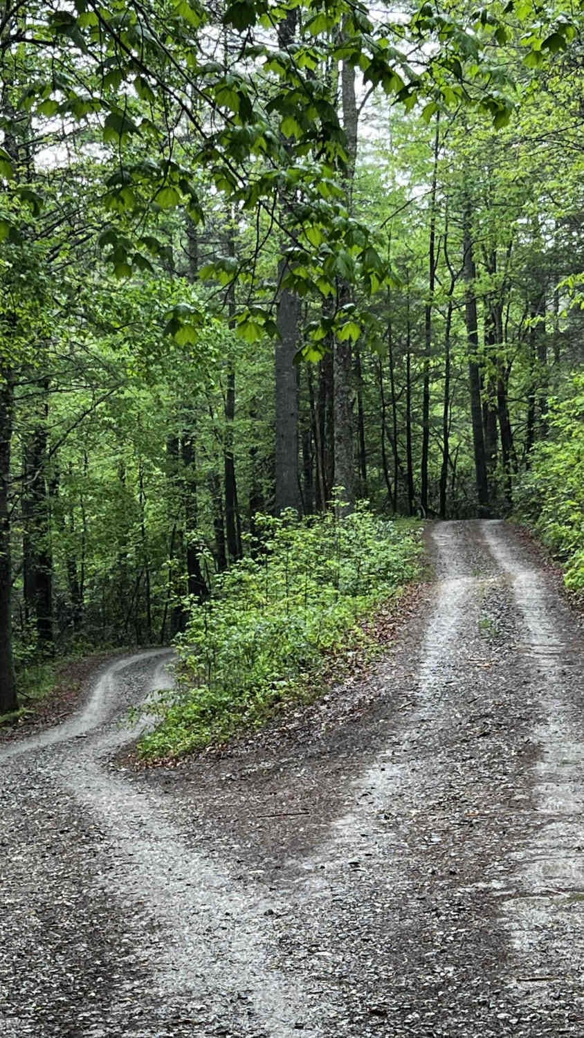
Little Gladesville Road is a bit of a contradiction since the Forest Service MVUM maps in topo mode show a quarter-mile-long lake at the end of the trail, but the satellite views do not show a lake. Little Gladesville, unfortunately, does not have a lake at the end. The area where the road ends is at a low elevation, and Gladesville Creek runs through the area, but no open lake. Little Gladesville Trail is an out-and-back trail through the Oconee National Forest. It is a single lane, packed dirt and gravel surface. Parts of the trail traverse private land as evidenced by "No Trespassing" signs, so please do not wander off the trail in these sections. The trees and vegetation along the trail have not been subjected to controlled burns in years, so the forest is thicker than most of the other NF trails in this area, giving a more "in the deep woods" feeling. As with other Forest Service roads in the area, only highway-licensed vehicles are allowed.
Photos of Little Gladesville - FS 1026
Difficulty
This road is one lane wide with places to pass.
Status Reports
Little Gladesville - FS 1026 can be accessed by the following ride types:
- High-Clearance 4x4
- SUV
Little Gladesville - FS 1026 Map
Popular Trails

Mud Creek Road
Old CCC Camp Road
181-N-O Unlabeled
Burnette Creek FS Road 261
The onX Offroad Difference
onX Offroad combines trail photos, descriptions, difficulty ratings, width restrictions, seasonality, and more in a user-friendly interface. Available on all devices, with offline access and full compatibility with CarPlay and Android Auto. Discover what you’re missing today!