Dupont Road
Total Miles
17.7
Technical Rating
Best Time
Fall, Winter, Spring
Trail Type
Full-Width Road
Accessible By
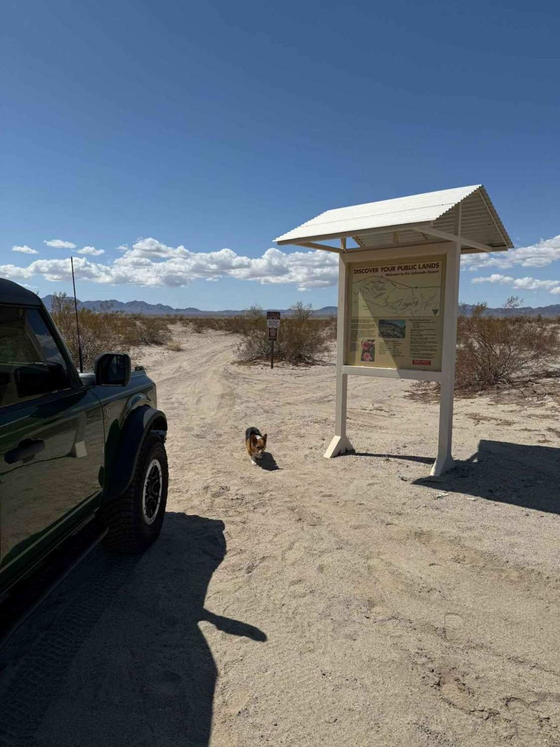
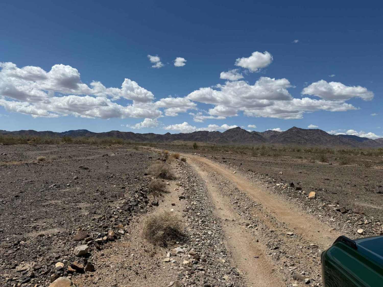
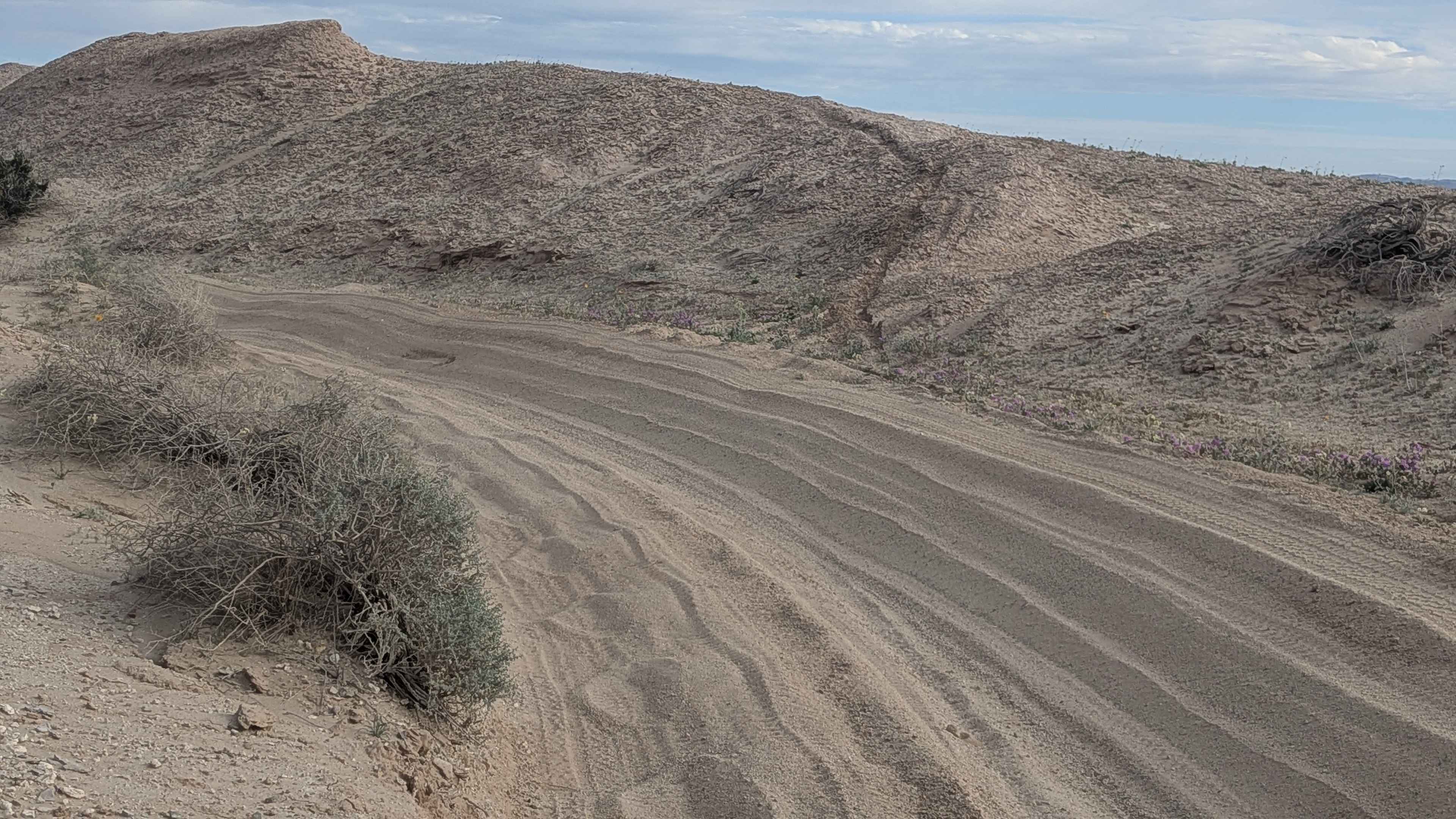
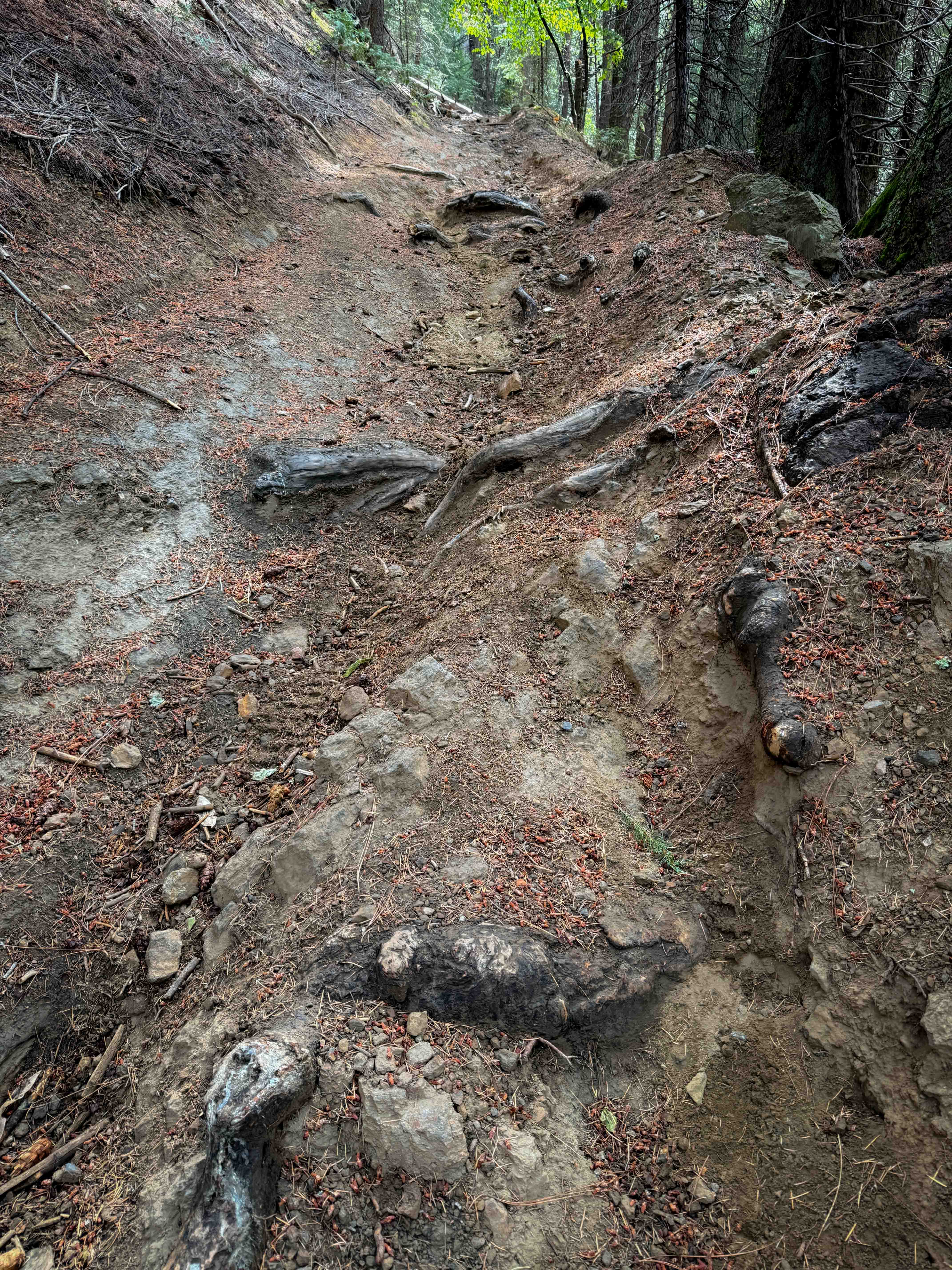
Trail Overview
Dupont Rd is a 17.7-mile trail rated 3 out of 10. Depending on the direction run, two thousand one hundred seventy-seven feet of elevation are gained or lost on this trail. The majority of the trail is packed with dirt and sandy washes. The trail's south end is roughly 3-4 miles of washes with small boulders and a long steep climb out of the wash onto the ridge line (or downhill into the wash if coming from the South). Mind the signs and stay on the main trail, the Chuckwalla Mountain Wilderness borders the entire trail. Treadly lightly.
Photos of Dupont Road
Difficulty
The trail is mostly flat sand and hard-packed until the South end. The last 3-4 miles are through a sandy wash with small rocks and a steep climb to the ridge line. The bottom of the climb is rutted with a handful of 8" to 12" rocks. Trail can drastically change with water flows through the many washes.
Status Reports
Dupont Road can be accessed by the following ride types:
- High-Clearance 4x4
- SUV
- SxS (60")
- Dirt Bike
Dupont Road Map
Popular Trails

Sheep Camp Road - FS4S03
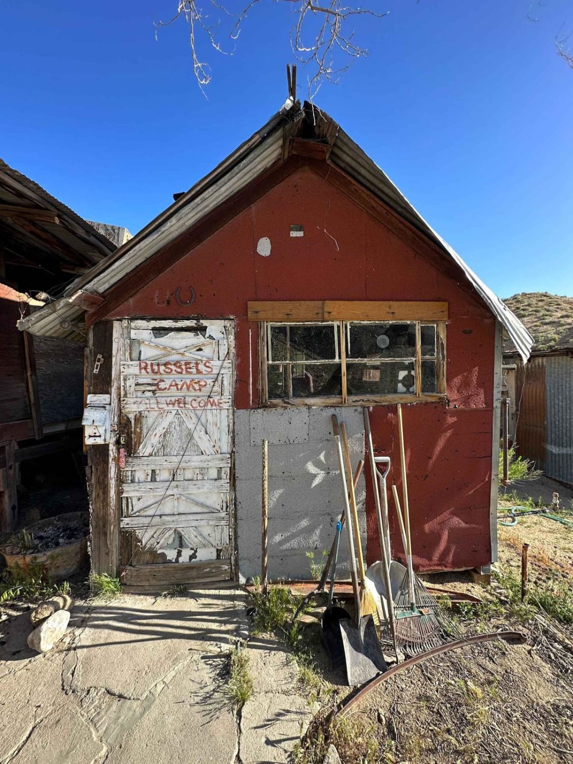
Russel Camp
The onX Offroad Difference
onX Offroad combines trail photos, descriptions, difficulty ratings, width restrictions, seasonality, and more in a user-friendly interface. Available on all devices, with offline access and full compatibility with CarPlay and Android Auto. Discover what you’re missing today!