Pryor Mountain Road
Total Miles
12.2
Technical Rating
Best Time
Spring, Summer, Fall, Winter
Trail Type
Full-Width Road
Accessible By
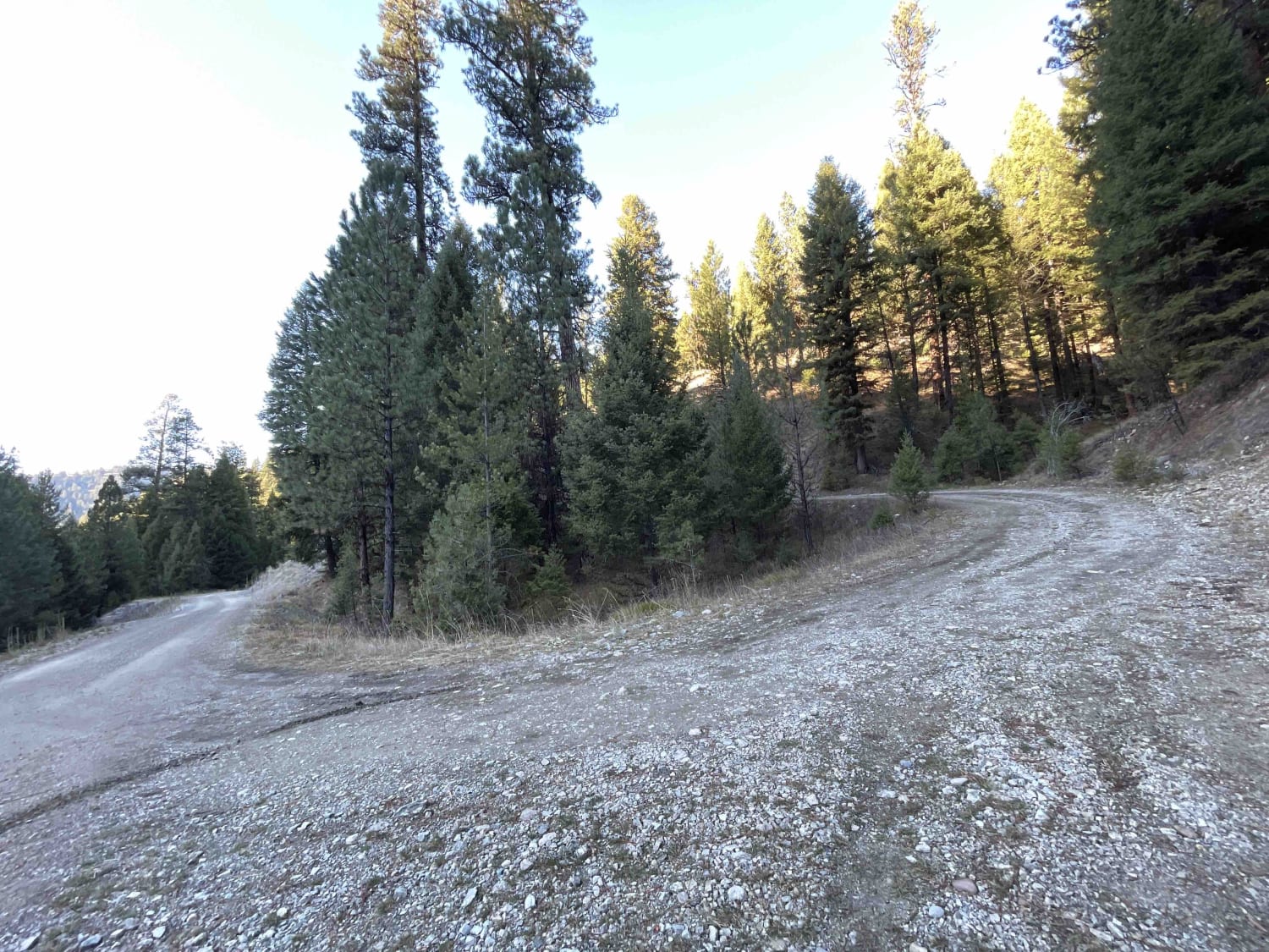
Trail Overview
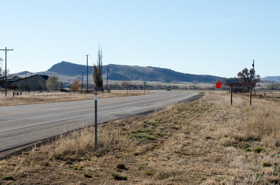
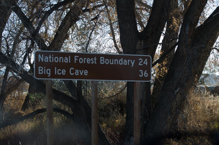
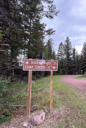
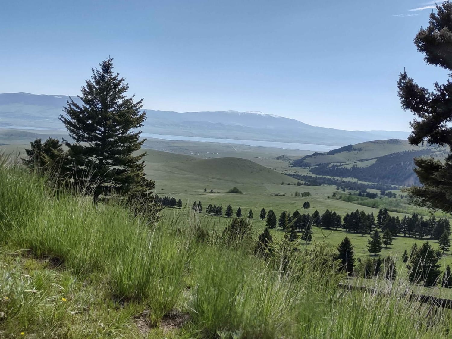
One of the many access routes to the Pryor Mountains, is Pryor Mountain Road, south of Bridger, MT. Top off your tank in Bridger and head south. Approximately 1.25 miles south on Highway 310 after the merge of Highway 72 to Cody, WY and Highway 310 to Lovell, WY, turn left (east) on Prior Mountain Road. A National Forest Access sign will be across from the turn. Once on the Pryor Mountain Road, a forest service sign will show "Forest Service Boundary 24 Miles, Big Ice Cave 36 Miles". Continue on the paved road for approximately 2 miles until the paved road crosses the railroad tracks. The road will then turn into gravel. As the road slowly climbs towards the Pryor Mountains, there are several short trails to explore the deep red hills along the way, as well as undeveloped campsites on BLM land. Continue to follow the road for a total of 12 miles which will then come to a T at Bowler/Bowler Flats. Windmills are abundant in this area known as the Pryor Mountain Wind Project. Turning left (north) on Pryor Mountain Road will access the Big Ice Caves. Turning right (south) on S. Pryor Mountain will lead to Warren, MT. Pryor Mountain Road is well maintained and accessible by most vehicles during the dry season. Cellular coverage is available throughout the route.
Photos of Pryor Mountain Road
Difficulty
This is a well-maintained gravel road.
Pryor Mountain Road can be accessed by the following ride types:
- High-Clearance 4x4
- SUV
- ATV (50")
- Dirt Bike
Pryor Mountain Road Map
Popular Trails
Sawyer Creek Road - FS 685

BLM 9 (Dry Creek Single Track)
Little Boulder Slate
The onX Offroad Difference
onX Offroad combines trail photos, descriptions, difficulty ratings, width restrictions, seasonality, and more in a user-friendly interface. Available on all devices, with offline access and full compatibility with CarPlay and Android Auto. Discover what you’re missing today!