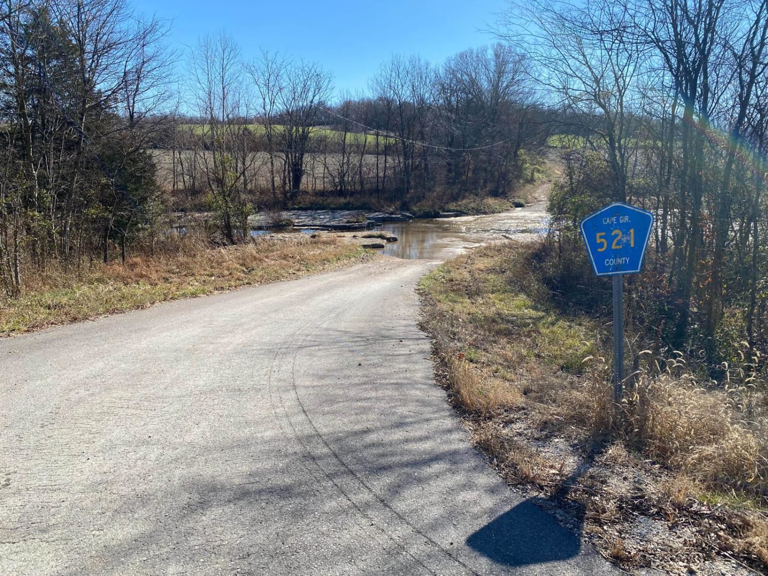
Cape Gir. Co 521 / 520
Total Miles
3.6
Technical Rating
Best Time
Spring, Summer, Fall
Trail Type
Full-Width Road
Accessible By
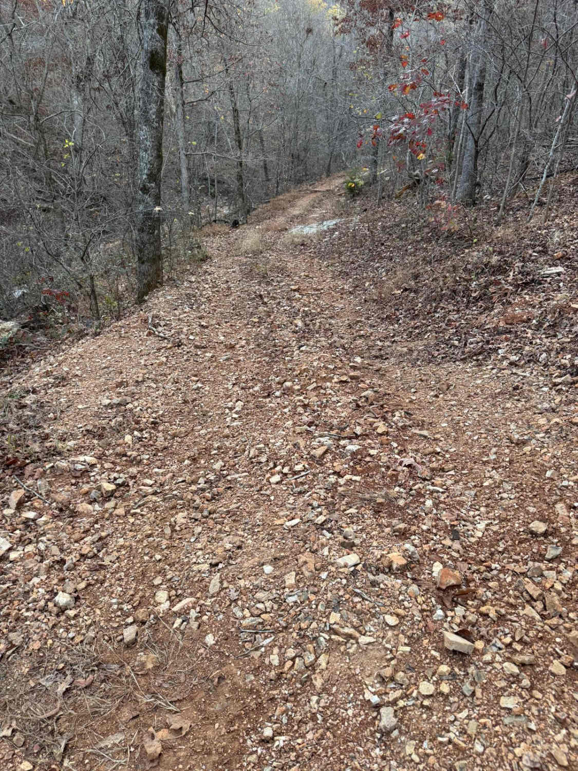
Trail Overview
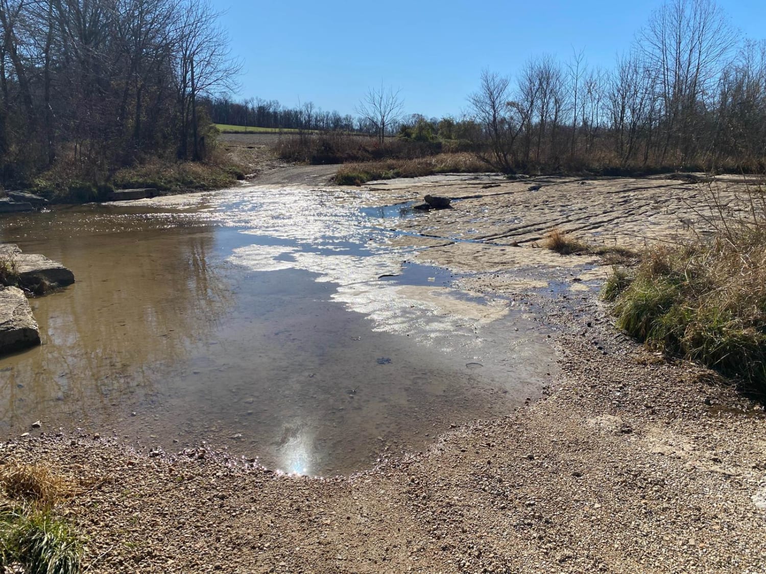
The Cape Girardeau County Roads 521 and 520 form a great scenic gravel road and loop with the main road of the area (US-61, with help from Cape Co 510). The roads were constructed around two creeks in the area, Hughes Creek and Buckeye Creek. It features a natural low-water bridge traversing over bedrock at the bottom of Hughes Creek, for roughly 85 feet long. The road has a few water collection spots before it routes uphill as it passes I-55, then it goes over a few rolling hills with concrete-bottomed low-water bridges in the two valleys. These cross Buckeye Creek. A nice little road to experience if you want to adventure off the main road. Be cautious of heavy rain and creek levels, this is the potential to flash flood.
Photos of Cape Gir. Co 521 / 520
Difficulty
Most difficult part would be traversing the creeks if the water is up. outside of that just a simple gravel road with scenery.
Status Reports
Cape Gir. Co 521 / 520 can be accessed by the following ride types:
- High-Clearance 4x4
- SUV
Cape Gir. Co 521 / 520 Map
Popular Trails
Compton - FS 2649

Boulder Dash 425
Green 214
The onX Offroad Difference
onX Offroad combines trail photos, descriptions, difficulty ratings, width restrictions, seasonality, and more in a user-friendly interface. Available on all devices, with offline access and full compatibility with CarPlay and Android Auto. Discover what you’re missing today!