Tamarack River Forest Road
Total Miles
5.6
Technical Rating
Best Time
Spring, Summer, Fall
Trail Type
Full-Width Road
Accessible By
Trail Overview
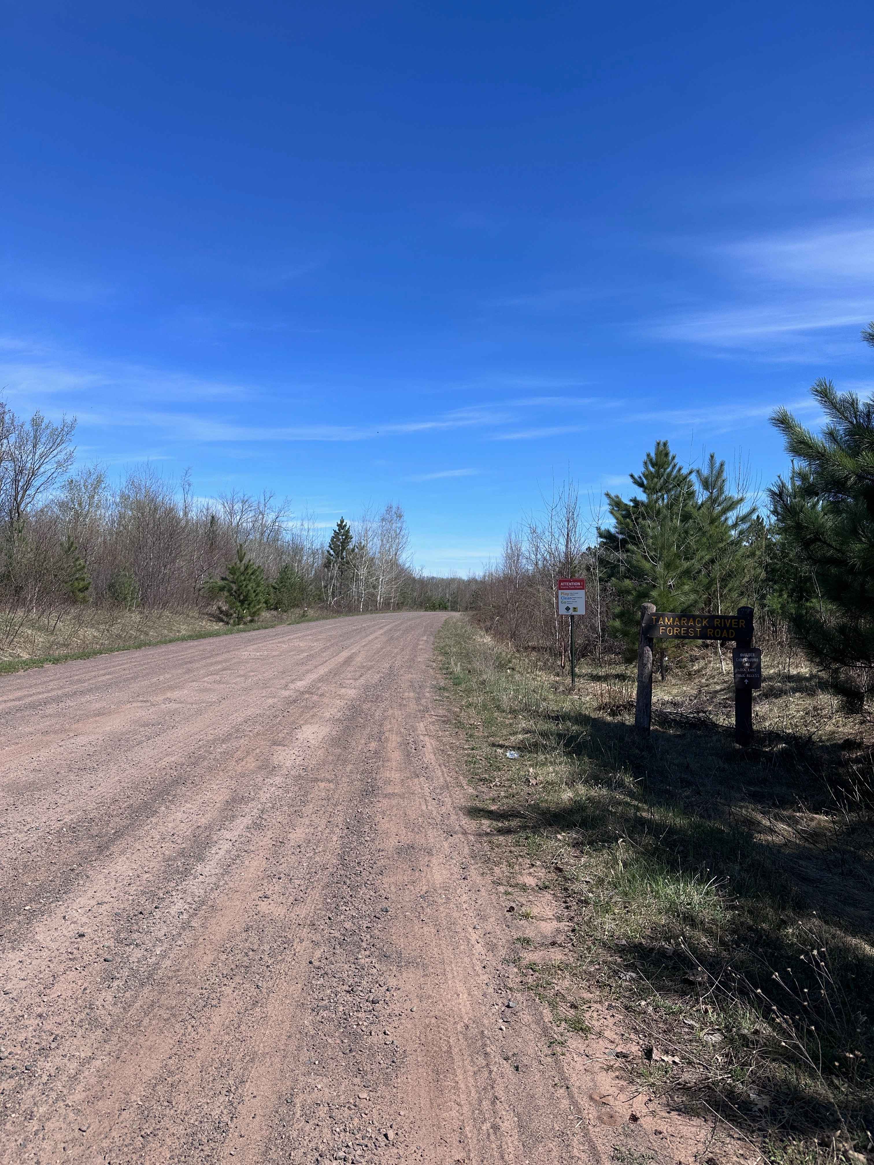
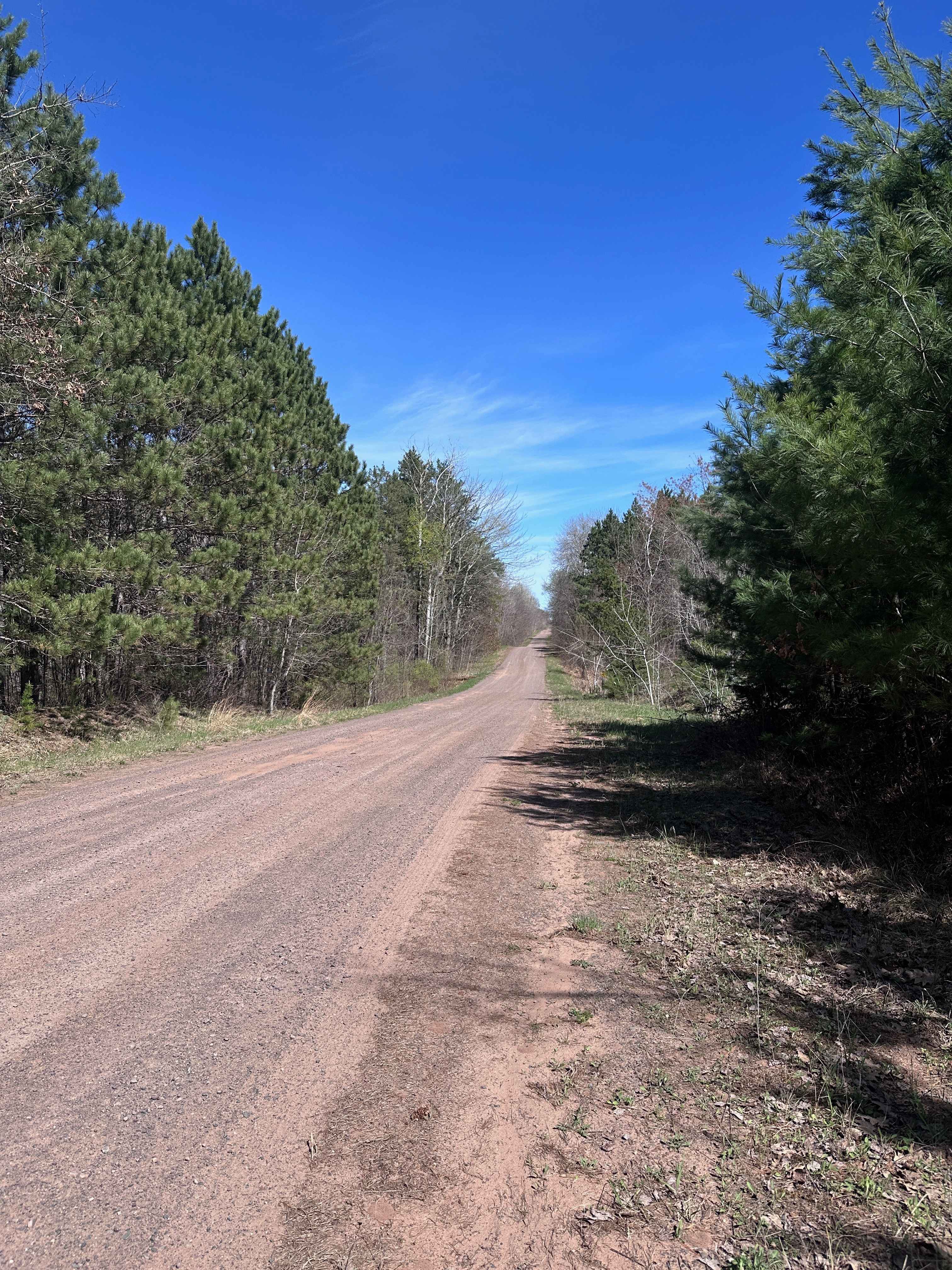
Tamarack River Forest Road is a smooth gravel road with gentle grades. It serves as one of the main roads through St. Croix State Forest with many trail crossings along the way. It begins at Grace Lake Road and ends at Boulder Campground and Rock Lake. Note that OHVs are not permitted inside the campground itself. There is also one area of the road right near Boulder Campground that does have water running across it. It's usually a matter of a few inches deep, but it may dry up or get slightly deeper depending on snowmelt and rainfall.
Photos of Tamarack River Forest Road
Difficulty
This is just a normal forest road with no technical obstacles. The only "obstacle" would be the small amount of water that is near the campground, but it's shallow and easy to cross.
Status Reports
Tamarack River Forest Road can be accessed by the following ride types:
- High-Clearance 4x4
- SUV
- SxS (60")
- ATV (50")
- Dirt Bike
Tamarack River Forest Road Map
Popular Trails


Forest Service Road 406

Lake Clara Spur F
Dago Lake Fork
The onX Offroad Difference
onX Offroad combines trail photos, descriptions, difficulty ratings, width restrictions, seasonality, and more in a user-friendly interface. Available on all devices, with offline access and full compatibility with CarPlay and Android Auto. Discover what you’re missing today!