BLM 6195A
Total Miles
2.1
Technical Rating
Best Time
Spring, Summer, Fall
Trail Type
Full-Width Road
Accessible By
Trail Overview
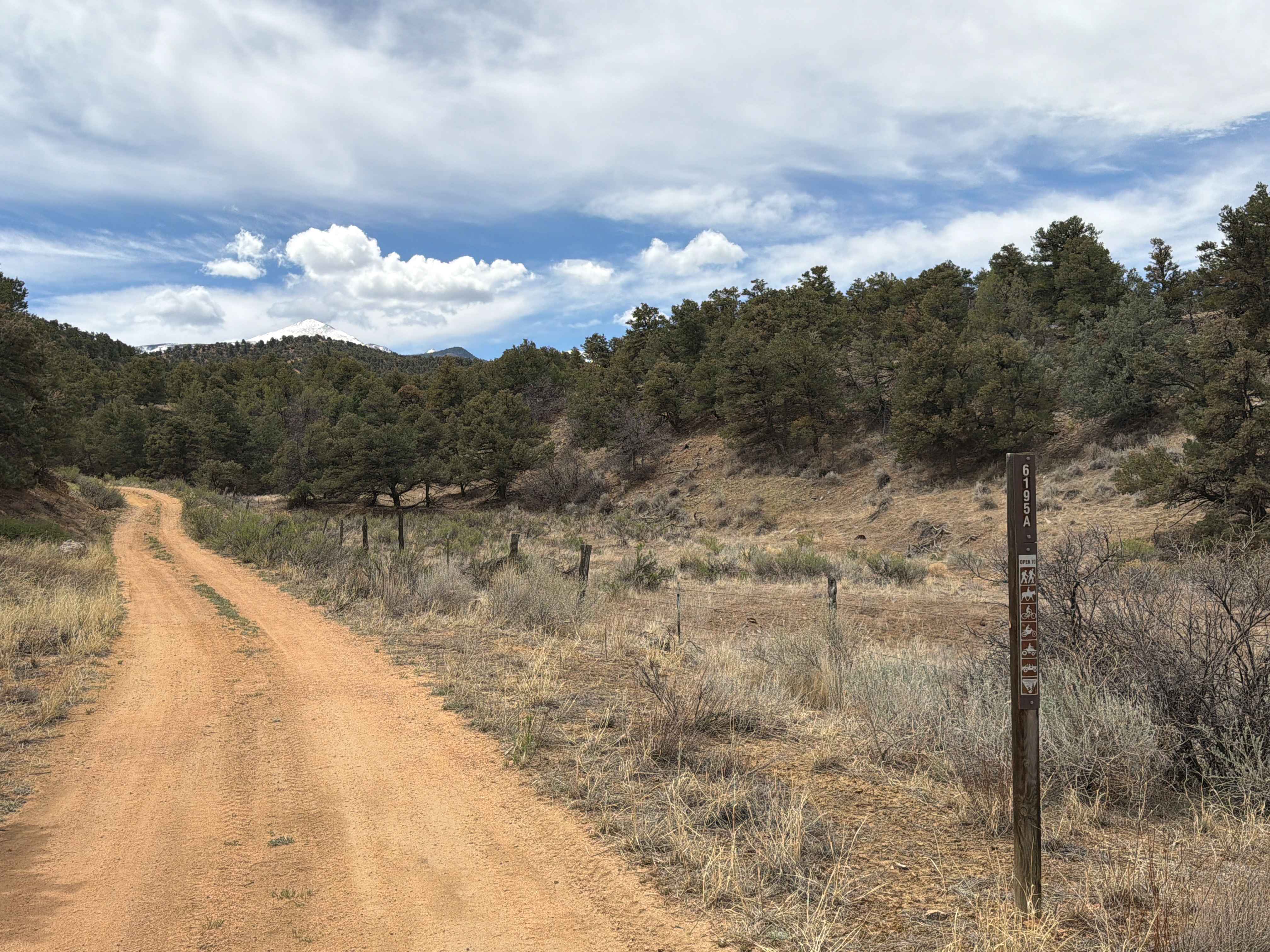
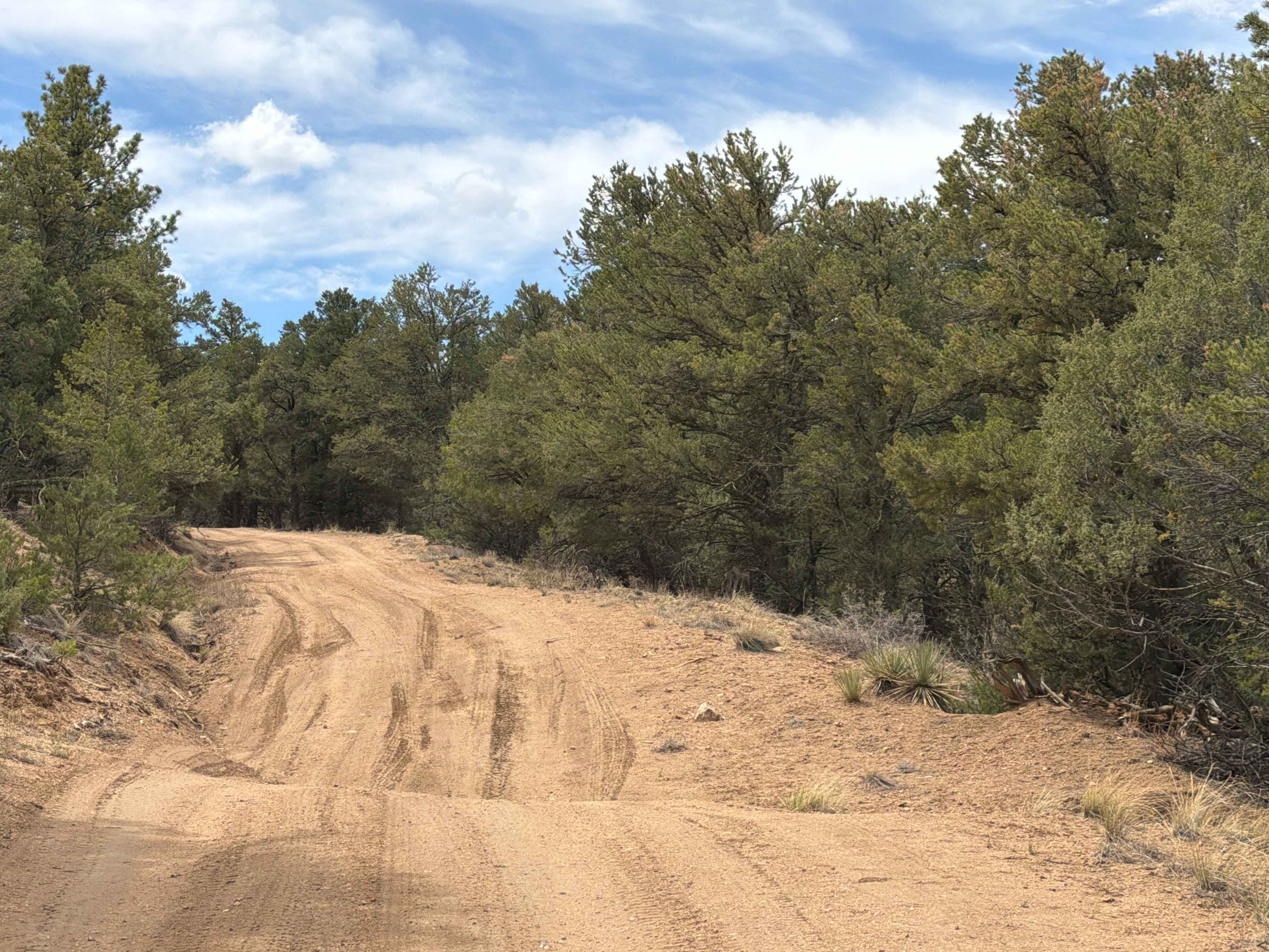
Easy-to-moderate dirt trail located off U.S. Highway 50 near the town of Coaldale, Colorado. This route travels through rugged terrain featuring rocky sections, mild technical obstacles, and a variety of dispersed camping opportunities along the way. Drivers are rewarded with expansive mountain views, peaceful surroundings, and a remote backcountry atmosphere that makes the trail ideal for a relaxing day of exploration or an overnight camping trip.
Photos of BLM 6195A
Difficulty
Easy-to-moderate dirt trail that provides ruts, rocky obstacles, tight sections, and sandy areas.
Status Reports
BLM 6195A can be accessed by the following ride types:
- High-Clearance 4x4
- SUV
- ATV (50")
- Dirt Bike
BLM 6195A Map
Popular Trails
Shaeffer Dam Loop - BLM#6102K
Jackson Creek South/ Watson Park
Bard Creek Road
Fullerton Park
The onX Offroad Difference
onX Offroad combines trail photos, descriptions, difficulty ratings, width restrictions, seasonality, and more in a user-friendly interface. Available on all devices, with offline access and full compatibility with CarPlay and Android Auto. Discover what you’re missing today!