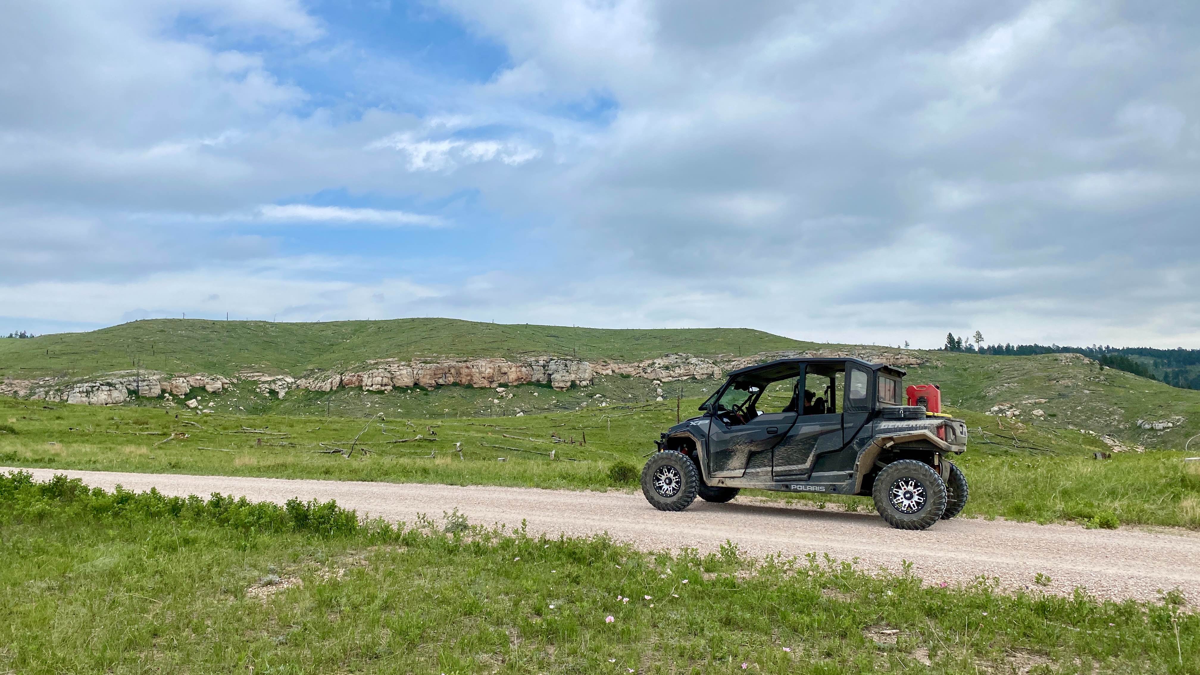
Mud Springs Road
Total Miles
8.8
Technical Rating
Best Time
Fall, Summer, Spring
Trail Type
Full-Width Road
Accessible By
Trail Overview
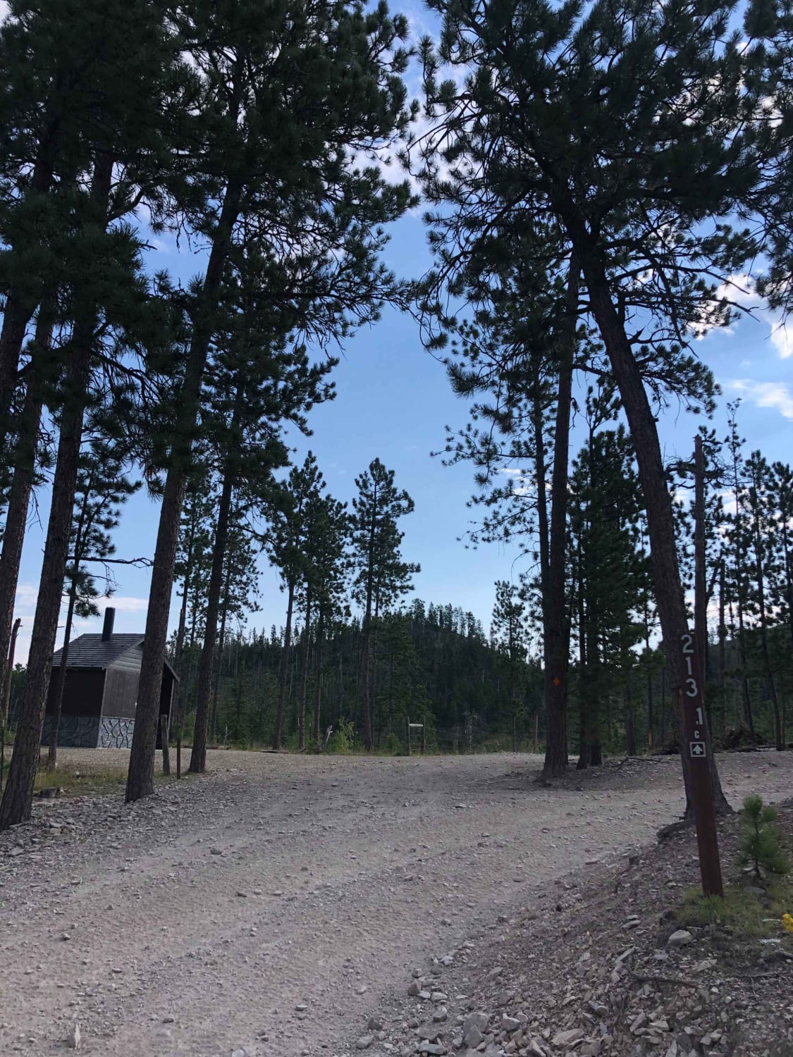
Mud Springs Road is a scenic route that runs North/South from Custer Limestone road to US Highway 16 just West of Jewel Cave National Monument. This does take you through cattle grazing areas so expect to see some cattle on or just off the road in the spring/summer. On the South portion of the road the land is somewhat barren due to a fire that was in the area in recent years.
Photos of Mud Springs Road

Difficulty
This road is a wide, single lane gravel road and there can be areas where two vehicles can pass easily. Any vehicle would have no issues on this road.
Status Reports
Mud Springs Road can be accessed by the following ride types:
- High-Clearance 4x4
- SUV
- SxS (60")
- ATV (50")
- Dirt Bike
Mud Springs Road Map
Popular Trails
Bogus Jim - 448.1A
Custer Peak Fire Lookout
The onX Offroad Difference
onX Offroad combines trail photos, descriptions, difficulty ratings, width restrictions, seasonality, and more in a user-friendly interface. Available on all devices, with offline access and full compatibility with CarPlay and Android Auto. Discover what you’re missing today!