P-10 Trail
Total Miles
13.1
Technical Rating
Best Time
Spring, Summer, Fall, Winter
Trail Type
Full-Width Road
Accessible By
Trail Overview
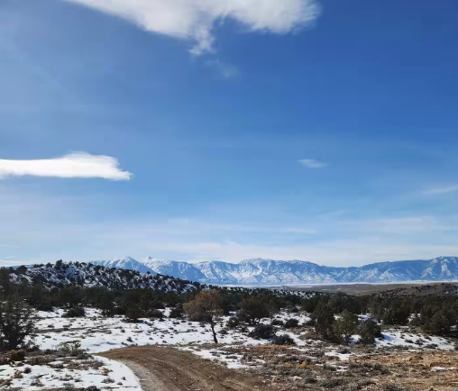
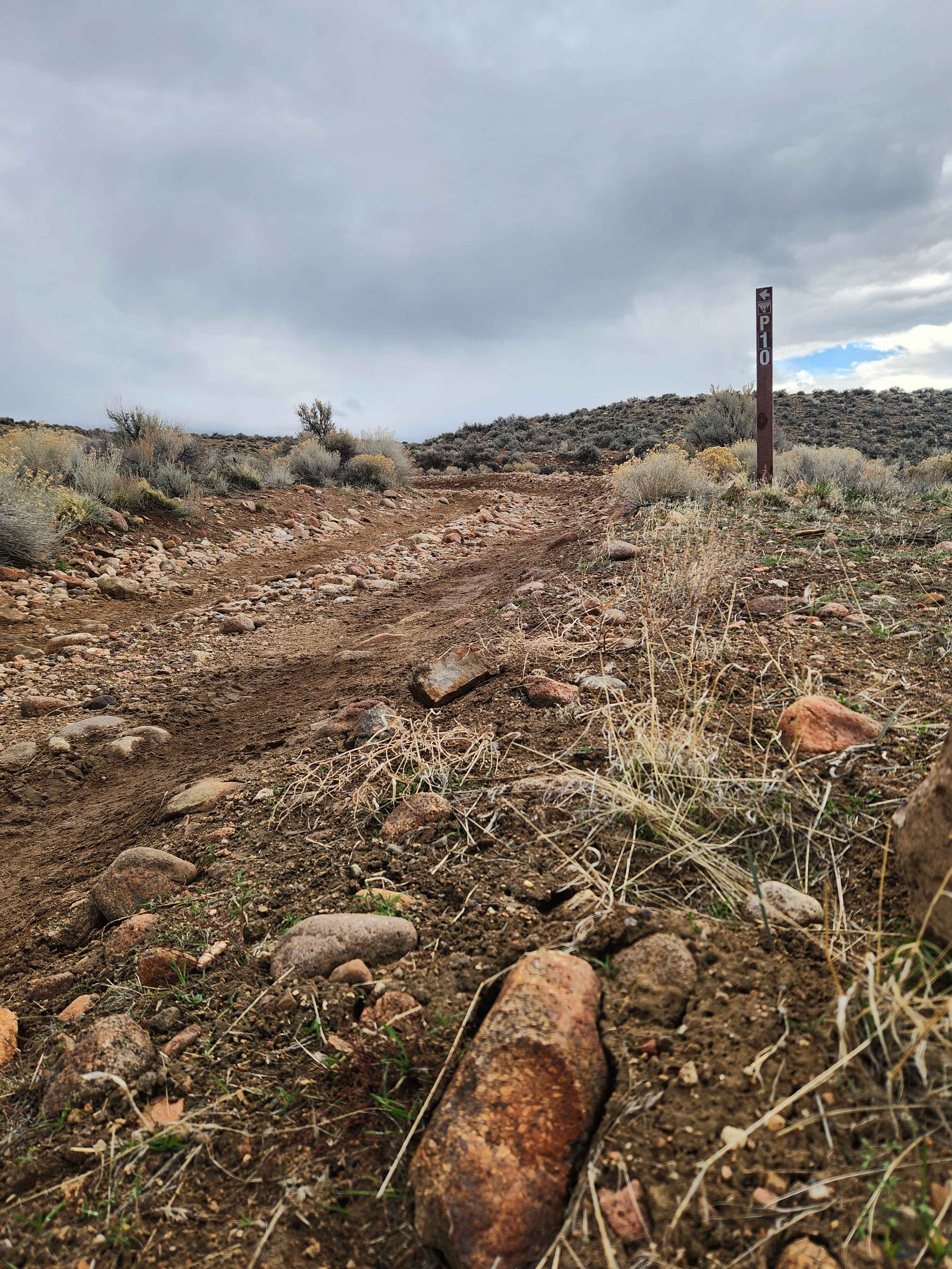
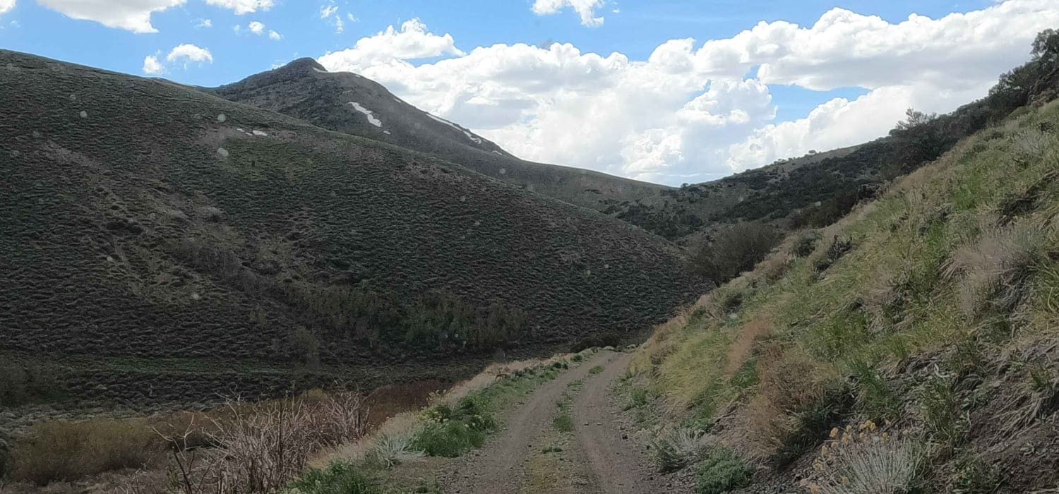
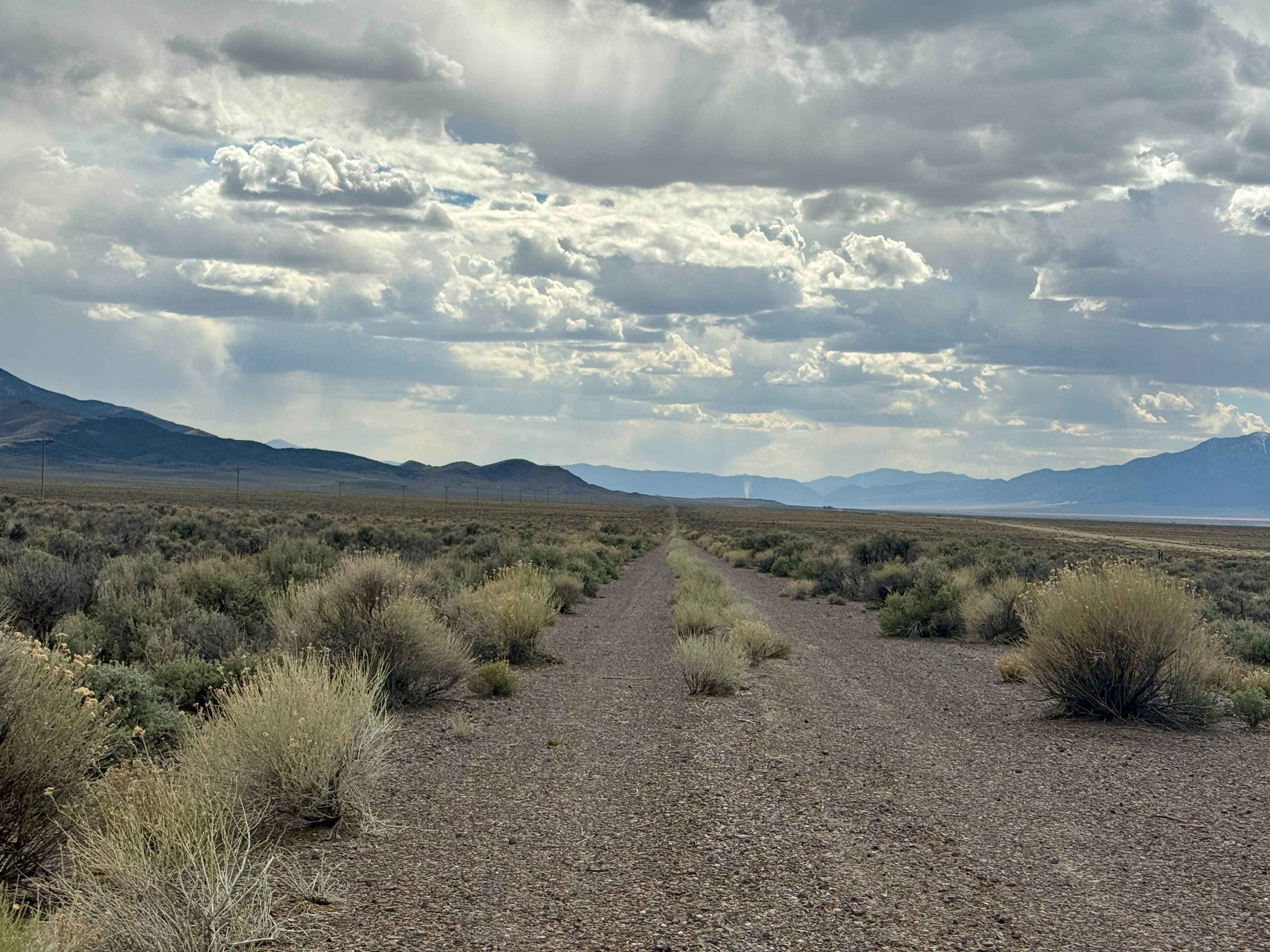
Named by the BLM, P-10 is a North/South trail passing along the East side of the Carson Valley. On the North it intersects Sunrise Pass (BLM R-09), and in the South intersecting with Pine Nut Road II (BLM P-11). P-10 is an easy trail, consisting of dirt, sand, and some rocky sections. There is a minor water crossing that varies in depth depending on the season. There is little elevation change. Most of the trail is open ground through rolling hills, with a portion through the trees. In the winter, when the ground is water-soaked, some trail sections in the south are very slippery. The main attractions of P-10 are the vast number of trails that join or cross the trail, both East and West, and the wild horse herds that frequent the area through which the trail passes. The surrounding hills offer views of the Carson Valley and the majestic Sierra Front.
Photos of P-10 Trail
Difficulty
This trail includes minor trenches and ruts, with some sections becoming very slick when muddy, making conditions slightly more challenging at times.
P-10 Trail can be accessed by the following ride types:
- High-Clearance 4x4
- SUV
- SxS (60")
- ATV (50")
- Dirt Bike
P-10 Trail Map
Popular Trails
Clover Creek Road
Slippin N Scramblin
Old Historic Route 93
Groundsmoke Road
The onX Offroad Difference
onX Offroad combines trail photos, descriptions, difficulty ratings, width restrictions, seasonality, and more in a user-friendly interface. Available on all devices, with offline access and full compatibility with CarPlay and Android Auto. Discover what you’re missing today!