McPherson Road
Total Miles
3.4
Technical Rating
Best Time
Spring, Summer, Fall
Trail Type
Full-Width Road
Accessible By
Trail Overview
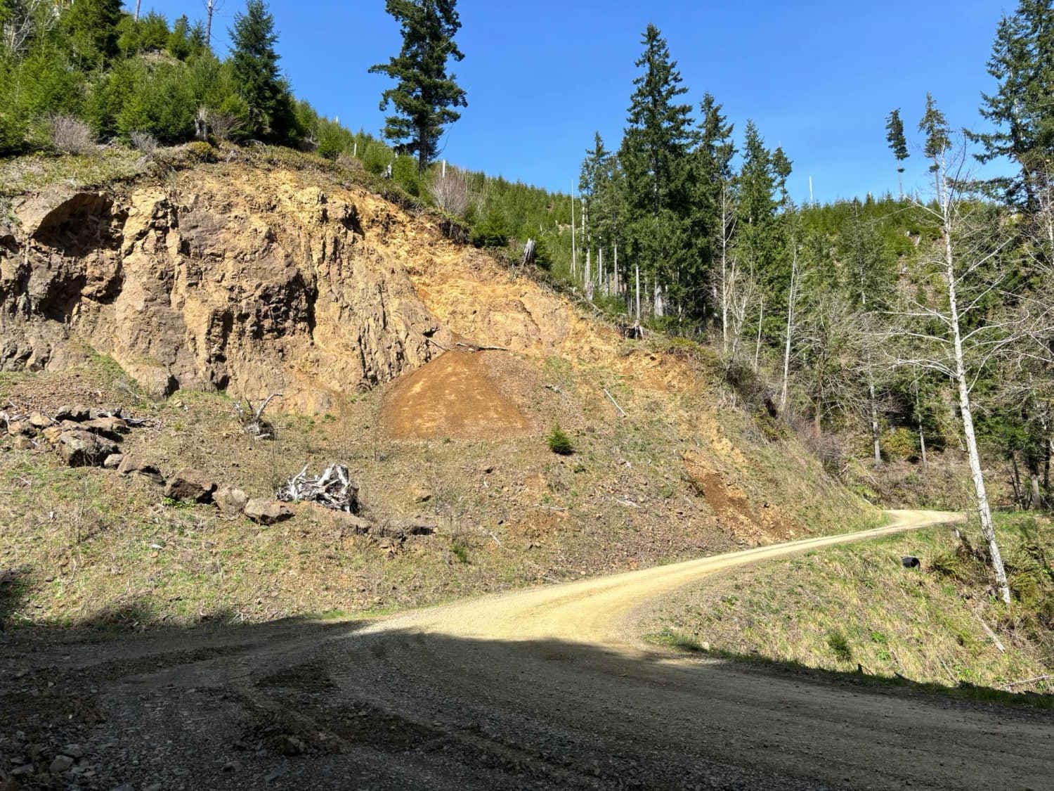
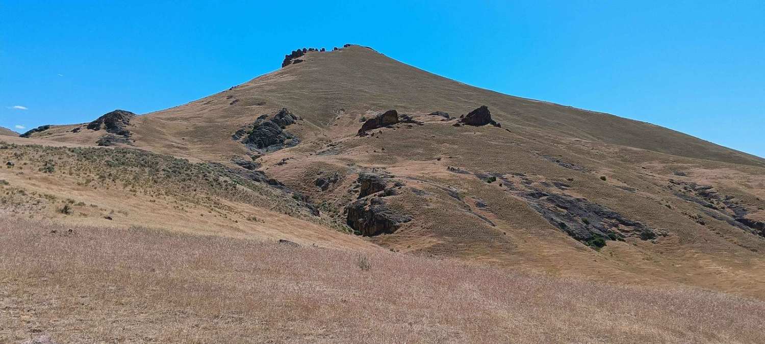
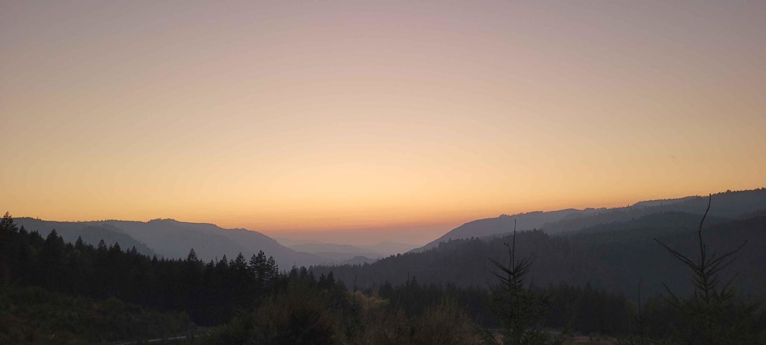
McPherson Road is a relatively well-maintained gravel road (meaning that potholes are possible) in the Tillamook State Forest, linking the Nehalem River to the west with Lost Creek Road to the east. It runs parallel to McPherson Creek to the south. Starting at approximately 73 feet in elevation on the Nehalem River side, the road climbs to over 1,300 feet at its eastern end. The eastern half features several logging spurs offering potential scenic views of the surrounding forest.
Photos of McPherson Road

Difficulty
This trail is an easy gravel road with mild inclines, despite its elevation gain.
Status Reports
McPherson Road can be accessed by the following ride types:
- High-Clearance 4x4
- SUV
McPherson Road Map
Popular Trails


Jordan Creek #84 (Part 2)
Honeycomb Wilderness Trail
Backroads to Swiftwater to Peel Oregon
The onX Offroad Difference
onX Offroad combines trail photos, descriptions, difficulty ratings, width restrictions, seasonality, and more in a user-friendly interface. Available on all devices, with offline access and full compatibility with CarPlay and Android Auto. Discover what you’re missing today!