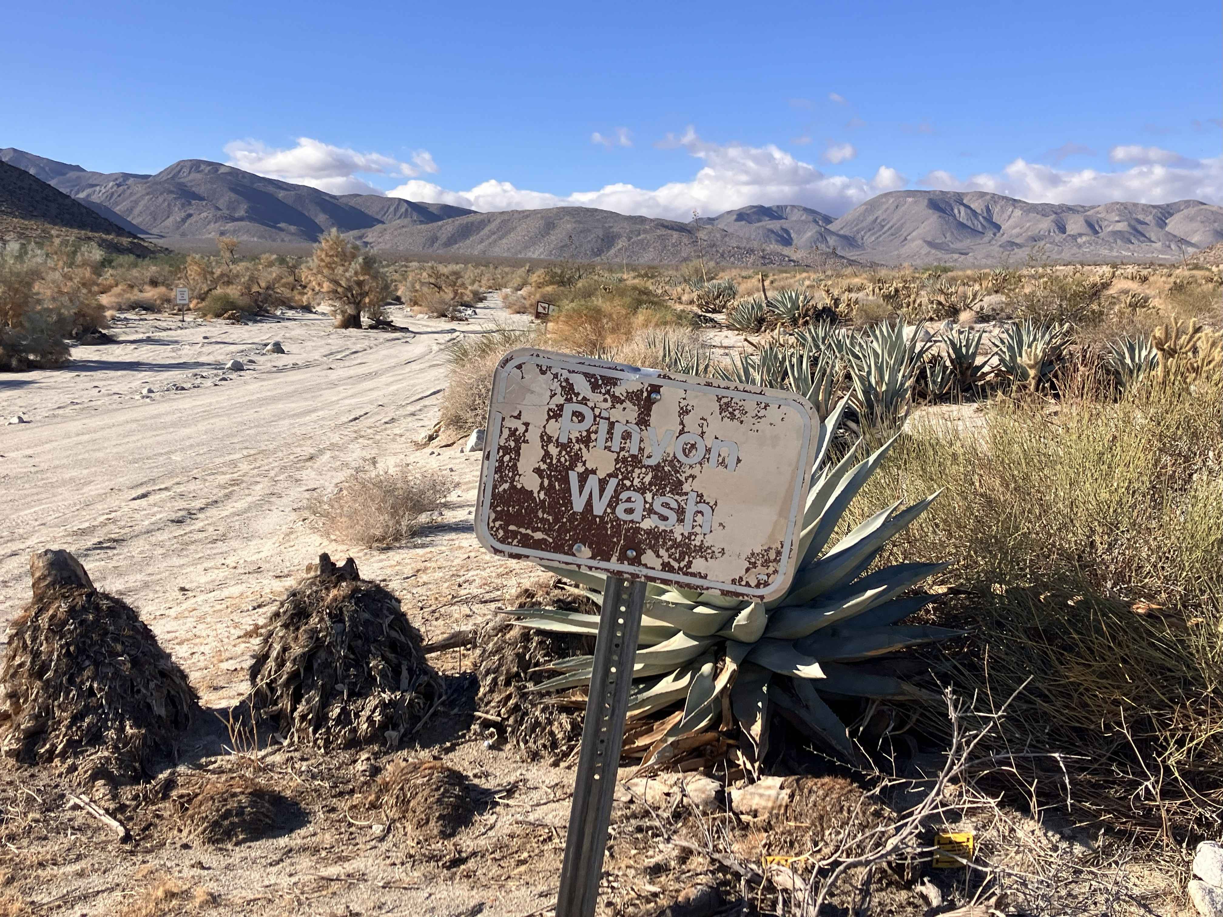
Pinyon Canyon
Total Miles
5.1
Technical Rating
Best Time
Fall, Winter, Spring
Trail Type
Full-Width Road
Accessible By
Trail Overview
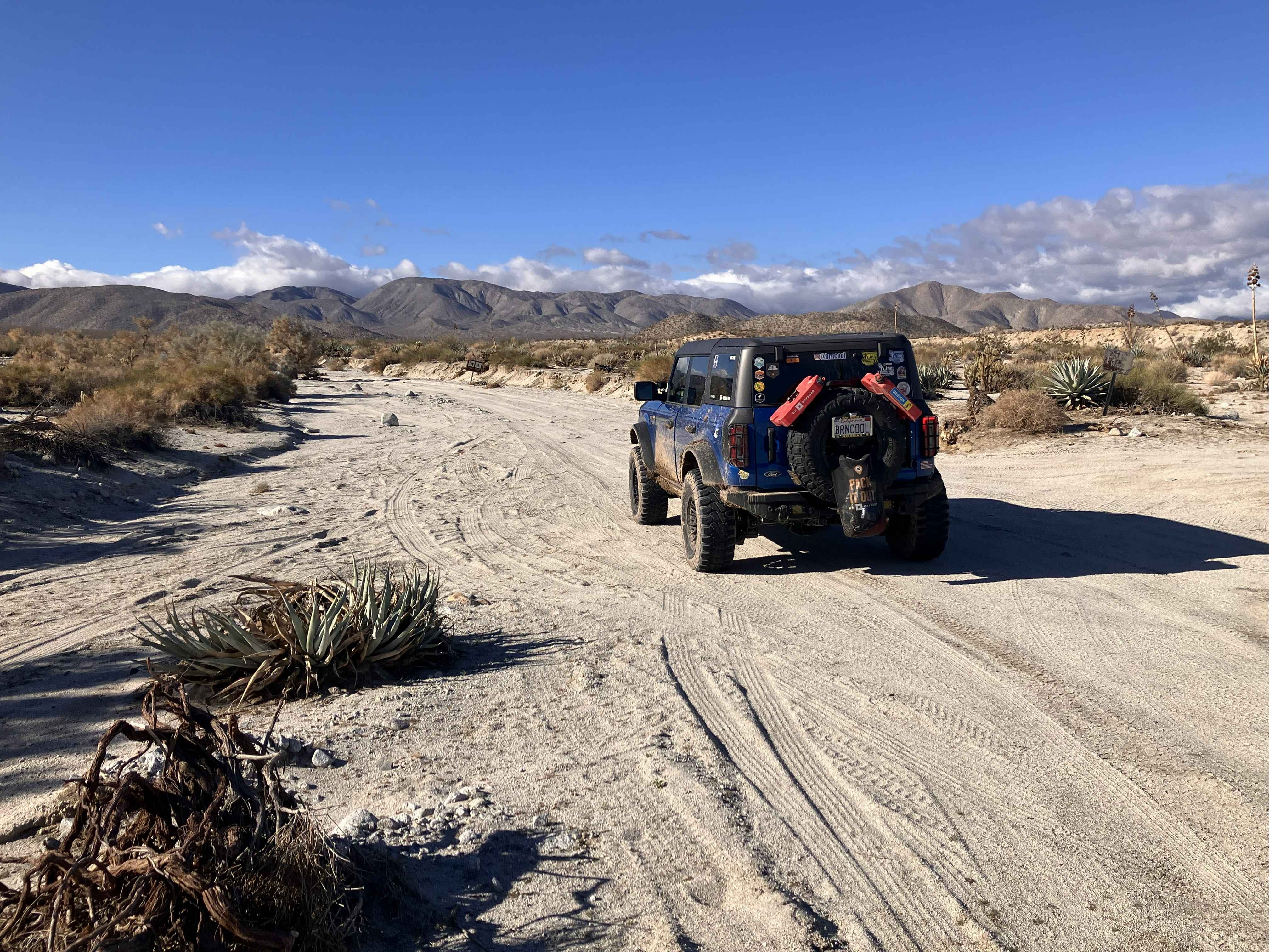
This is an out-and-back trail to a dead-end canyon that begins off Highway 78 next to an Emergency Callbox station. It starts out as a hard-packed, narrow dirt road, which remains fairly level over the full length of the trail. There are occasional patches of shallow sand and stretches of washboard. Vegetation can be tight in a few sections, especially where there are short-radius turns. There are also large rocks embedded in the road at multiple places along the trail, but these can generally be easily avoided. Frequent turnouts and wider areas along the trail are present to allow vehicles to pass. The trail ends in an area that can accommodate a fairly large group for camping or a meal break, and will allow vehicles to turn around easily. Because this route runs through the Anza-Borrego Desert State Wilderness area, vehicles must remain on the main road. Frequent signage provides reminders that only foot traffic is allowed off the route. Tread Lightly and Pack it Out.
Photos of Pinyon Canyon
Difficulty
The trail is generally level and primarily consists of hard-packed dirt with occasional stretches of shallow sand. There may also be some small ruts and washboard sections. During dry conditions, two-wheel drive vehicles should be able to handle the terrain without problem. High clearance is not a necessity.
Status Reports
Pinyon Canyon can be accessed by the following ride types:
- High-Clearance 4x4
- SUV
Pinyon Canyon Map
Popular Trails

Otay Mountain Truck Trail (Upper Trail)

Dry Creek Knoll
Fonts Point - Vista MalPais - Arroyo Salado

Woodcock Meadow - 14S13
The onX Offroad Difference
onX Offroad combines trail photos, descriptions, difficulty ratings, width restrictions, seasonality, and more in a user-friendly interface. Available on all devices, with offline access and full compatibility with CarPlay and Android Auto. Discover what you’re missing today!