Nancy Creek Road
Total Miles
7.0
Technical Rating
Best Time
Spring, Summer, Fall
Trail Type
Full-Width Road
Accessible By
Trail Overview
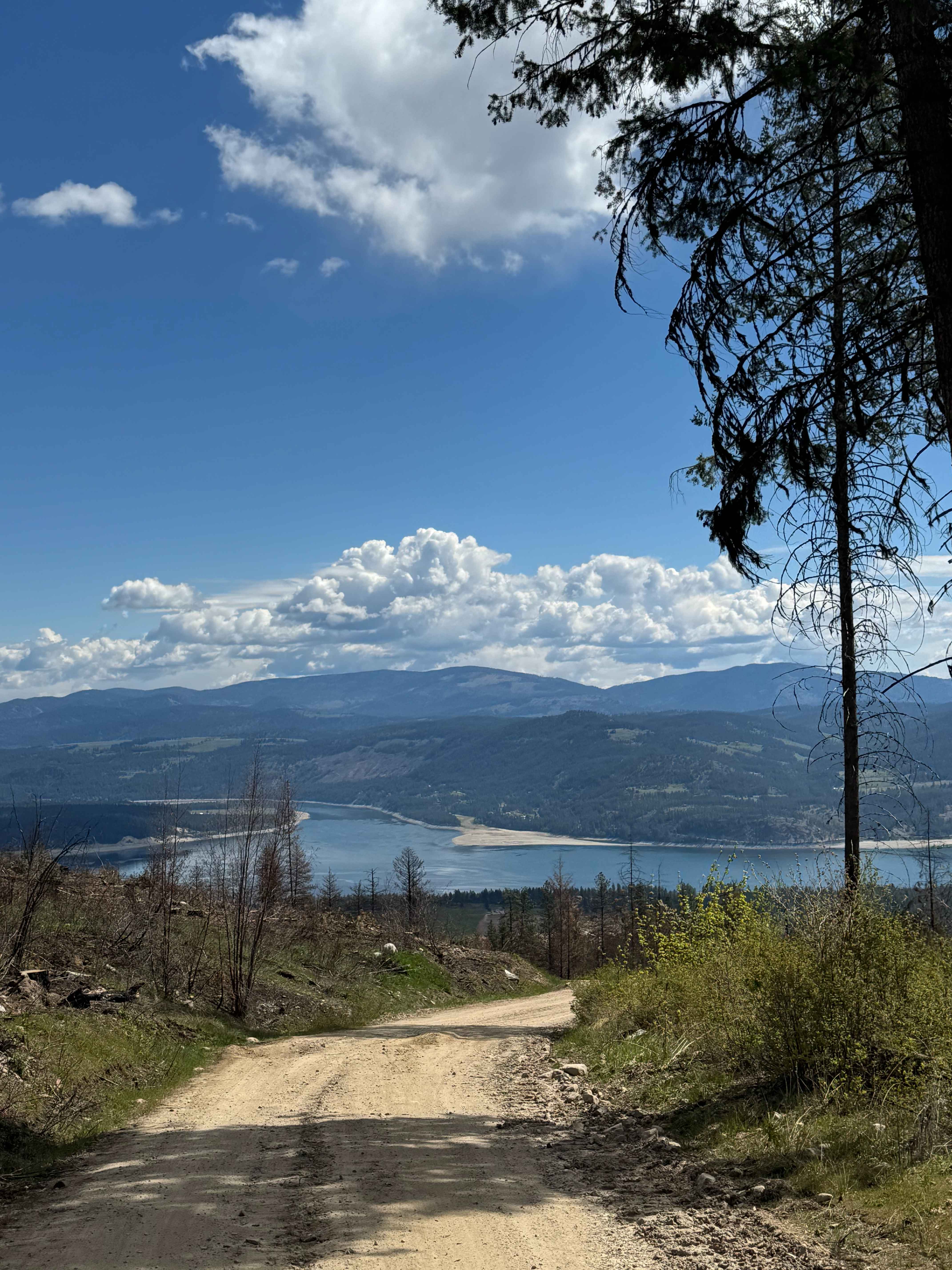
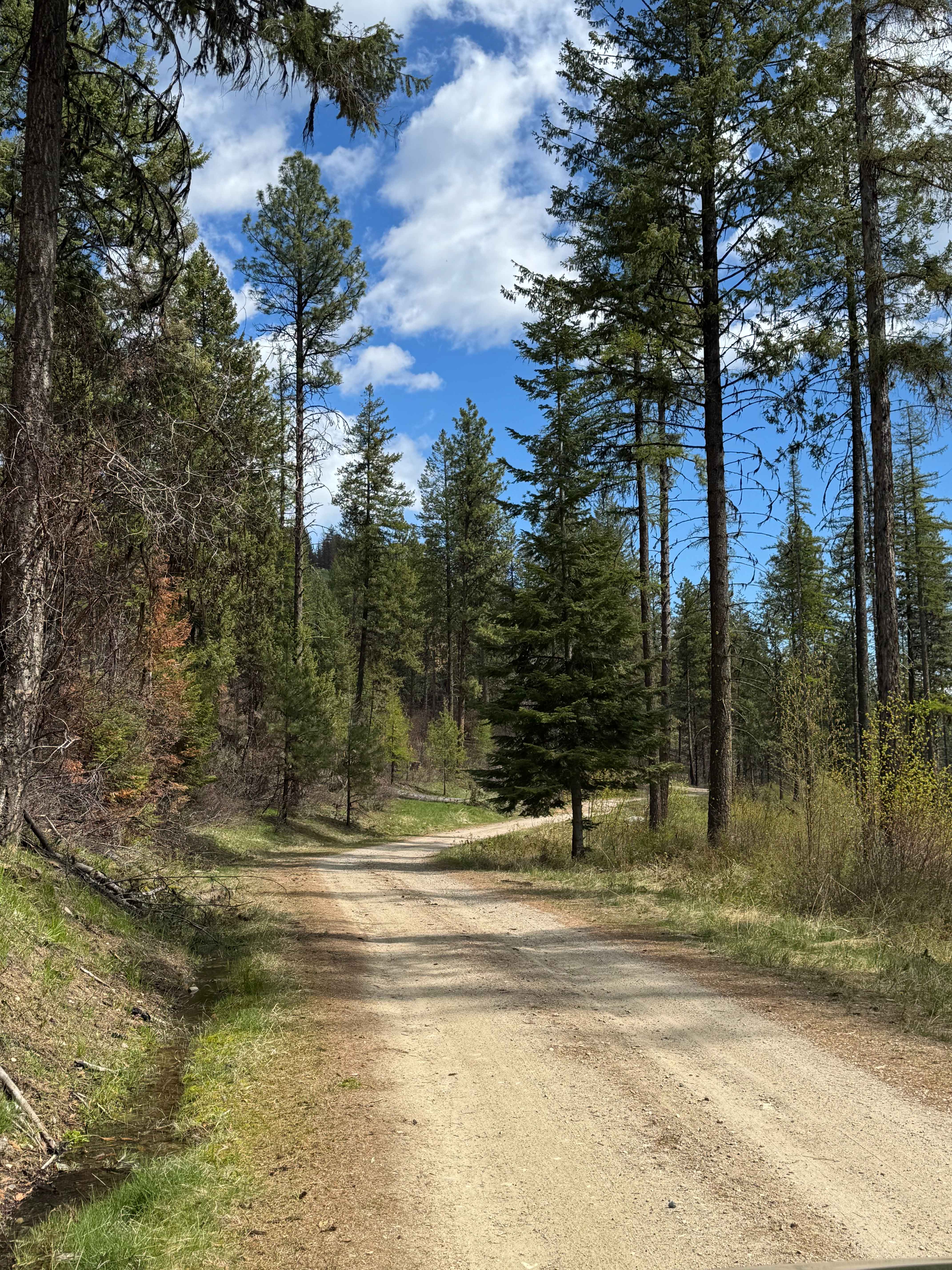
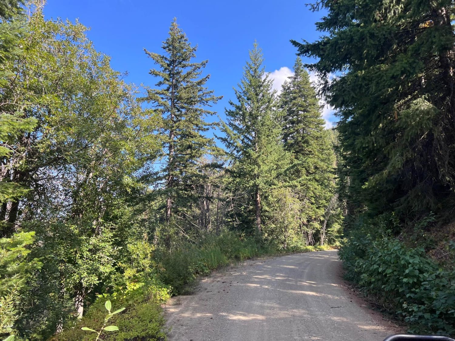
This is a gravel-based road through the State of Washington owned land. The trail climbs gradually to Bisbee Mountain, gaining approximately 1,973 feet in elevation. The trail is narrow with room for passing, and it is a shelf road in a few sections with ledges and switchbacks. There was minimal wash and ruts, and any vehicle should be able to travel this trail. The higher you climb, the better the views get, and you will have a view of surrounding peaks and of Roosevelt Lake. There were several pull-off dispersed camping locations along this trail; some had pre-existing fire rings, and the higher up the trail, the flatter the spots get. Cellphone service was good along this trail, and though there are no amenities, the City of Kettle Falls is approximately 7 miles away south on Highway 395, offering services and supplies.
Photos of Nancy Creek Road
Difficulty
Gravel based road with minimal wash and ruts.
Status Reports
Nancy Creek Road can be accessed by the following ride types:
- High-Clearance 4x4
- SUV
- SxS (60")
- ATV (50")
- Dirt Bike
Nancy Creek Road Map
Popular Trails
The Small Getaway Amongst Locked Gates

S. Skagit Hwy to Gee Point
Sugarloaf Mountain Lookout Tower

The onX Offroad Difference
onX Offroad combines trail photos, descriptions, difficulty ratings, width restrictions, seasonality, and more in a user-friendly interface. Available on all devices, with offline access and full compatibility with CarPlay and Android Auto. Discover what you’re missing today!