FS 285
Total Miles
1.4
Technical Rating
Best Time
Spring, Fall, Winter, Summer
Trail Type
Full-Width Road
Accessible By
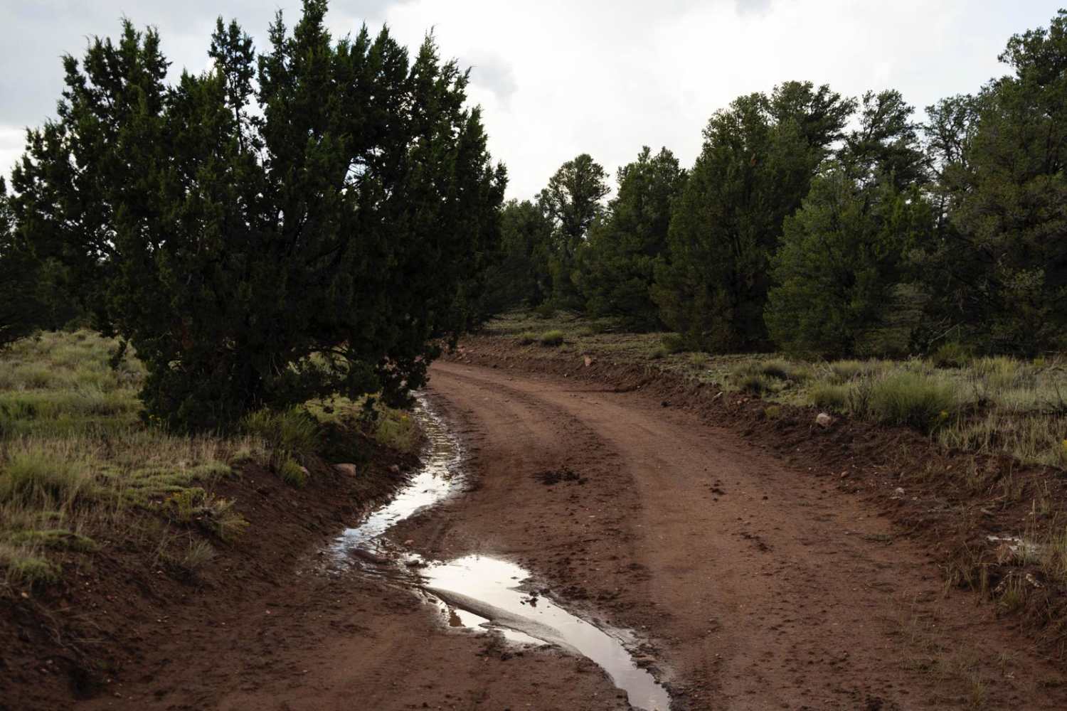
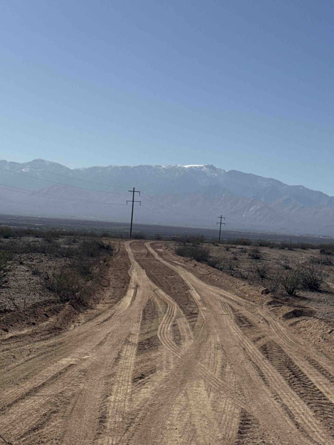
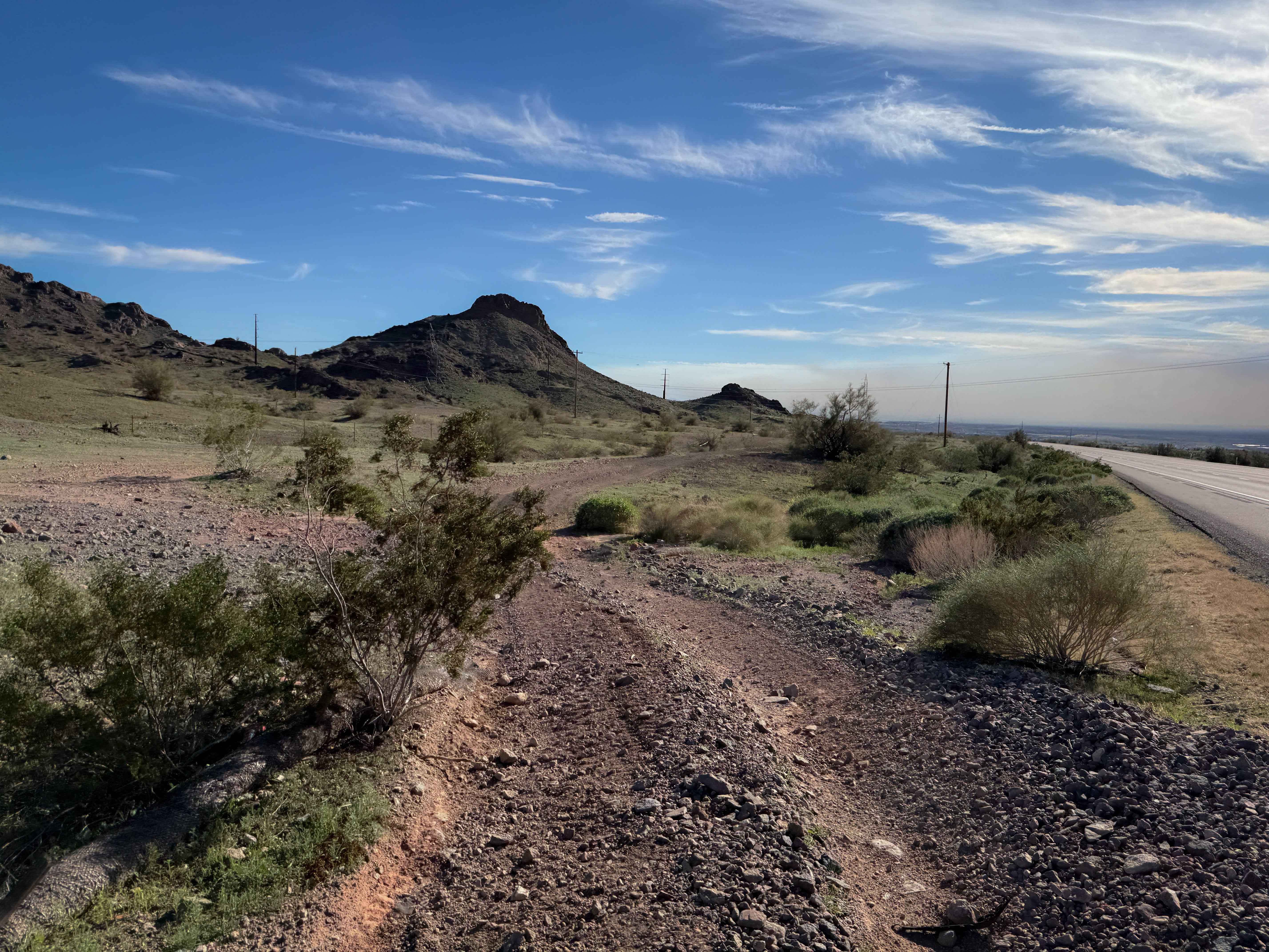
Trail Overview
FS 285 begins off Gateway to Seven Springs and is an out-and-back gravel shelf road offering beautiful views of the valley to the south. About a quarter mile in, the gravel becomes rougher with larger rocks scattered along the trail, some reaching up to 12 inches. The route is lined with tall natural grass, prickly pear cactus, saguaros, and ocotillo, creating a classic Sonoran Desert landscape. While the terrain is bumpy with loose rock, it remains non-technical. Drivers should stay alert as the narrow trail reaches a Y junction and turns right, following powerlines down a steep, winding hill. Around 1.2 miles in, the trail shows signs of washout along the cliffside, so use caution if continuing toward the bottom. Along the way, you'll be rewarded with excellent views of the surrounding desert and the areas of Cave Creek and Scottsdale. Camping opportunities can be found along the trail. This trail is located within the Tonto National Forest and requires a 3-day, 6-month, or annual permit available through Recreation.gov.
Photos of FS 285


Difficulty
Large rocks are scattered along the trail, combined with steep hills, a narrow shelf road, and several washouts. Passing areas for oncoming traffic are limited. Rocks up to 12 inches.
Status Reports
FS 285 can be accessed by the following ride types:
- High-Clearance 4x4
- SUV
- SxS (60")
- ATV (50")
- Dirt Bike
FS 285 Map
Popular Trails
Highway 95 Parallel Trail
Scratchy Scratch
The onX Offroad Difference
onX Offroad combines trail photos, descriptions, difficulty ratings, width restrictions, seasonality, and more in a user-friendly interface. Available on all devices, with offline access and full compatibility with CarPlay and Android Auto. Discover what you’re missing today!