Cascade Picnic
Total Miles
4.3
Technical Rating
Best Time
Fall, Summer, Spring
Trail Type
Full-Width Road
Accessible By
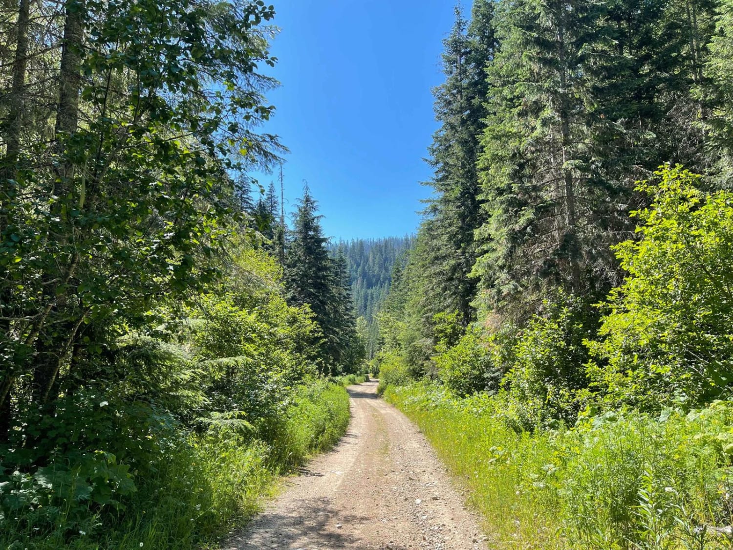
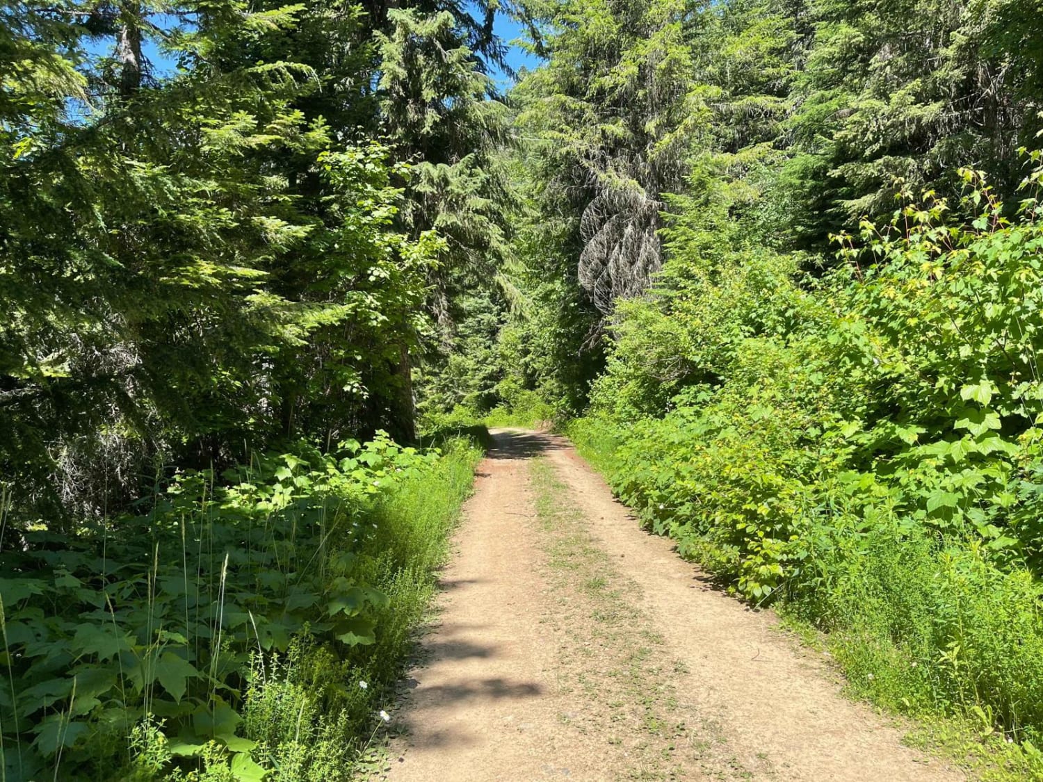
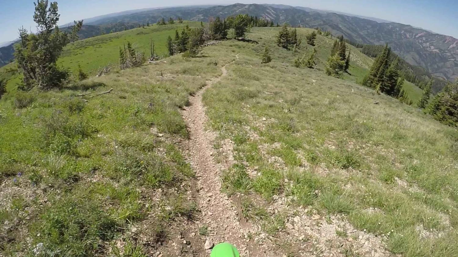
Trail Overview
This narrow trail connects at the top with the Gurly Saddle and Lavoie OHV trails. It's primarily narrow, with some low hanging and downed trees here and there. Closer to the bottom, there appear to be some national forest lease properties with cabins. Please be mindful of your dust. This is also the rockier section of the trail as it runs along the creek. Creek access appears to be through private property. At the lower end of the trail, it connects with Cascade Magee. This will connect you; either way, you go with other trails in the system. Be ready for potential downed trees after a storm. There is no cell service.
Photos of Cascade Picnic
Difficulty
Mostly easy some rocky sections could cause sidewall damage. SUV's should turn around before they get to the top near the last residence.
Status Reports
Cascade Picnic can be accessed by the following ride types:
- High-Clearance 4x4
- SUV
- SxS (60")
- ATV (50")
- Dirt Bike
Cascade Picnic Map
Popular Trails
Long Creek - FS 545
Oneida Narrows Reservoir
The onX Offroad Difference
onX Offroad combines trail photos, descriptions, difficulty ratings, width restrictions, seasonality, and more in a user-friendly interface. Available on all devices, with offline access and full compatibility with CarPlay and Android Auto. Discover what you’re missing today!