Windmill Wash
Total Miles
6.4
Technical Rating
Best Time
Spring, Fall, Winter
Trail Type
High-Clearance 4x4 Trail
Accessible By
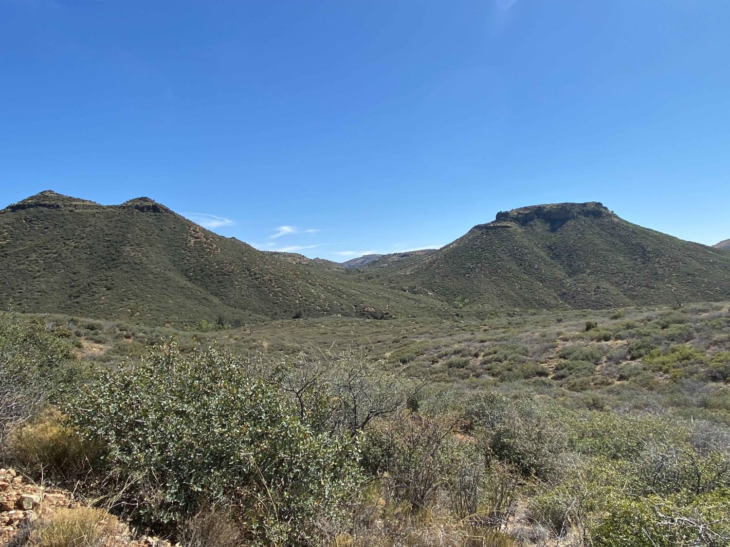
Trail Overview
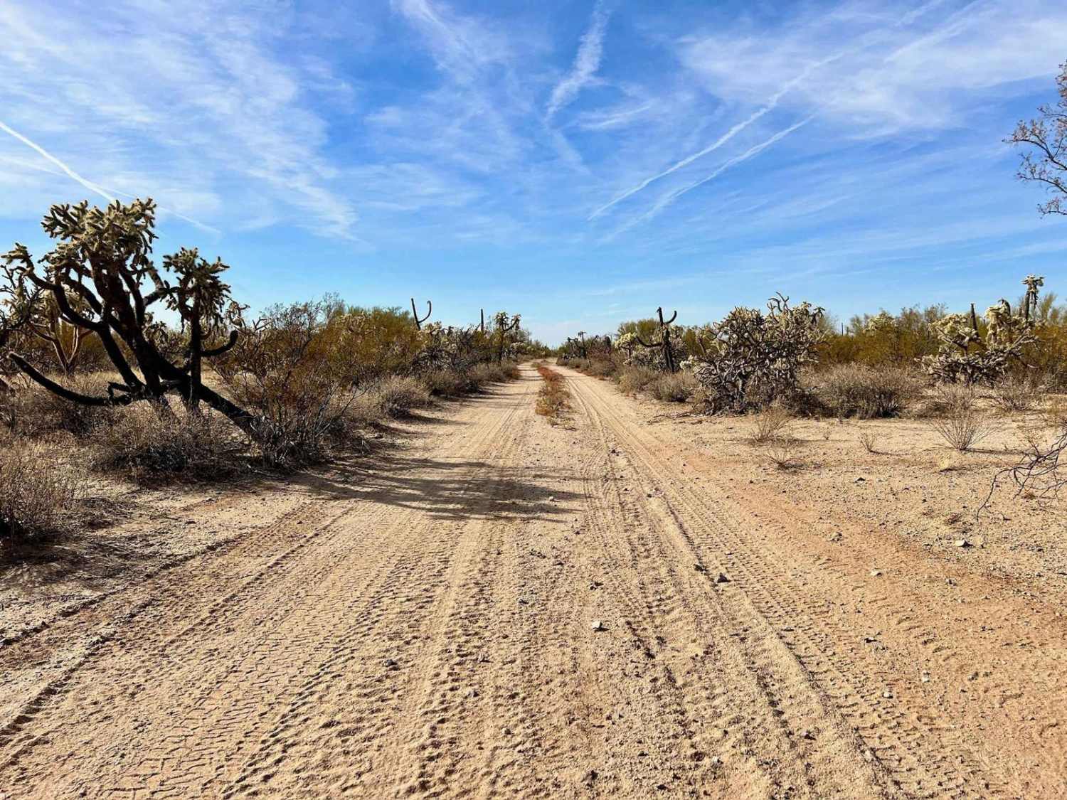
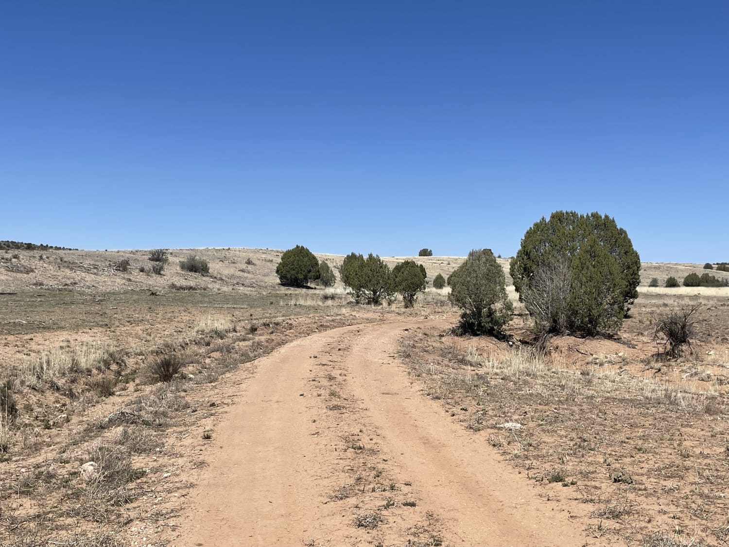
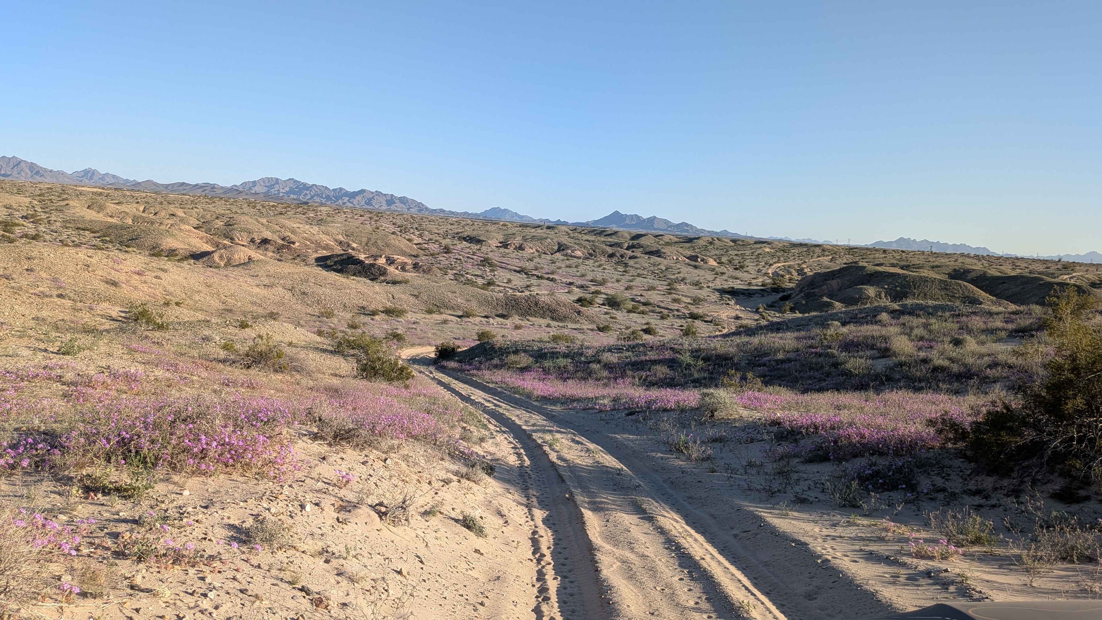
Beautiful scenic loop through the foothills of the Northwestern portion of the Tonto National Forest off of Bloody Basin Rd. The trail circles around Mesa Butte (5125 ft), which is easy to spot and runs adjacent to Bishop Creek with multiple wash crossings. The majority of the trail is technically easy, with some wash crossings and rocky sections that will require higher ground clearance and more precise wheel placement. Enjoy a rare patch of shade trees in mile 5 as the trail runs parallel to Bishop Creek wash. Enjoy this lightly-traveled trail for the varying terrain and plant life and also as a scenic bypass of a section of Bloody Basin Rd, which is more traveled.
Photos of Windmill Wash
Difficulty
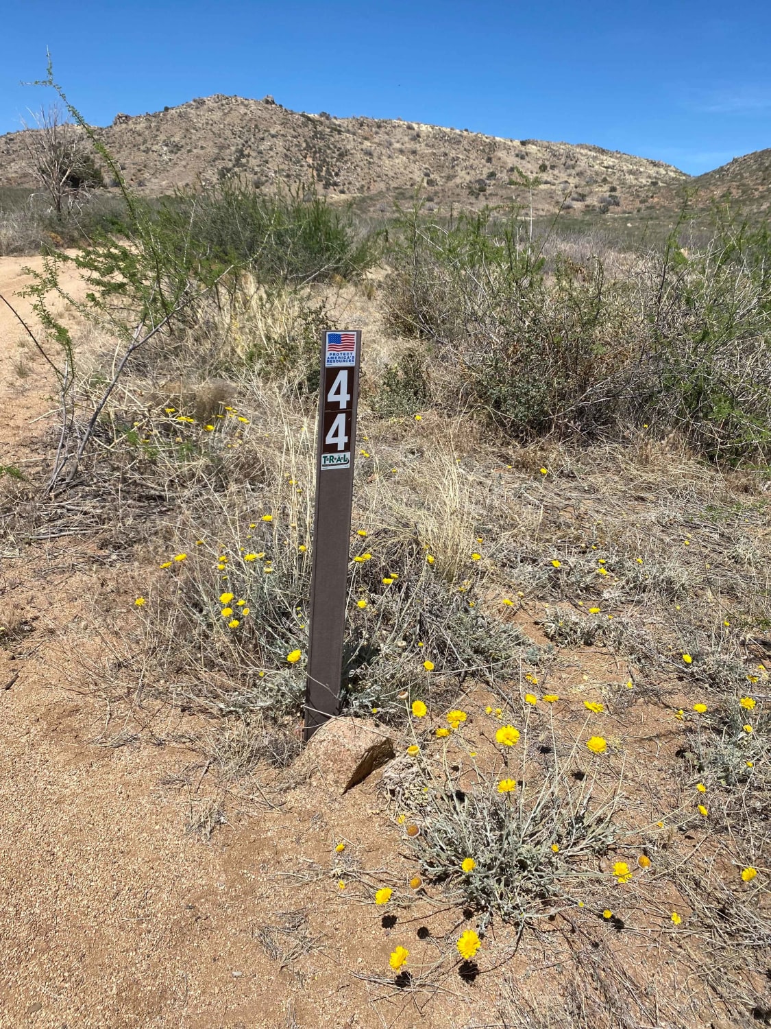
Mostly easy single lane trail. Level 3 technical rating in several spots due to erosion. Mile 3 has a sandy wash crossing with moderate rocks to navigate. Mile 4 has a larger rock section to navigate. High clearance will be needed for these sections.
History
Windmill Wash lies within the Tonto National Forest. Sonoran Desert cacti and flat lands slowly give way to the highlands of the Mogollon Rim. This variety in vegetation and range in altitude -- from 1,300 to 7,900 feet -- offers outstanding recreational opportunities throughout the year, whether it's lake beaches or cool pine forests. www.fs.usda.gov/main/tonto/home
Status Reports
Windmill Wash can be accessed by the following ride types:
- High-Clearance 4x4
- SxS (60")
- ATV (50")
- Dirt Bike
Windmill Wash Map
Popular Trails
M0800 Freeman Pipeline Trail

Sullivan Tank
Just Grazing Trail
The onX Offroad Difference
onX Offroad combines trail photos, descriptions, difficulty ratings, width restrictions, seasonality, and more in a user-friendly interface. Available on all devices, with offline access and full compatibility with CarPlay and Android Auto. Discover what you’re missing today!