Ss1103
Total Miles
5.2
Technical Rating
Best Time
Spring, Summer, Fall, Winter
Trail Type
Full-Width Road
Accessible By
Trail Overview
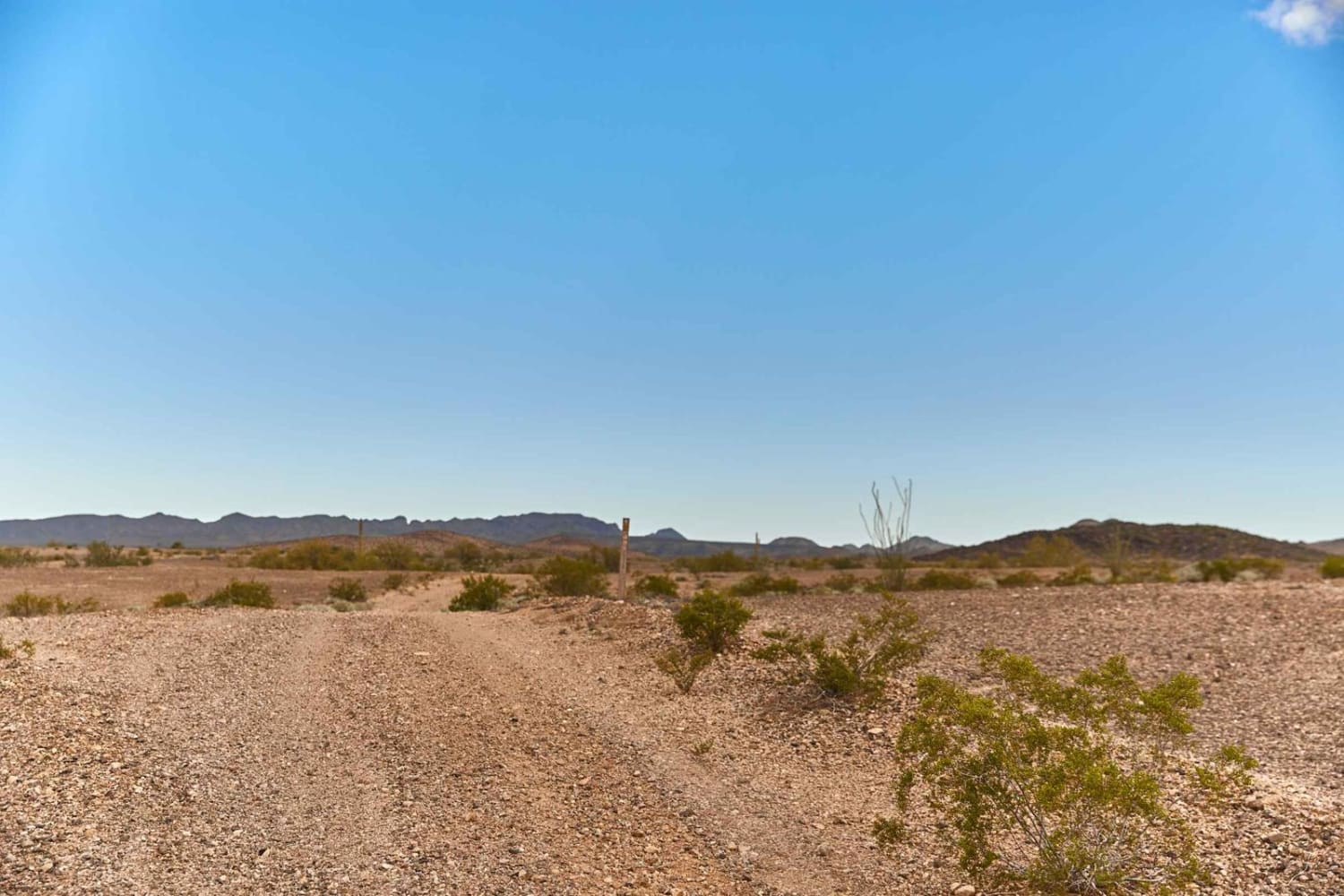
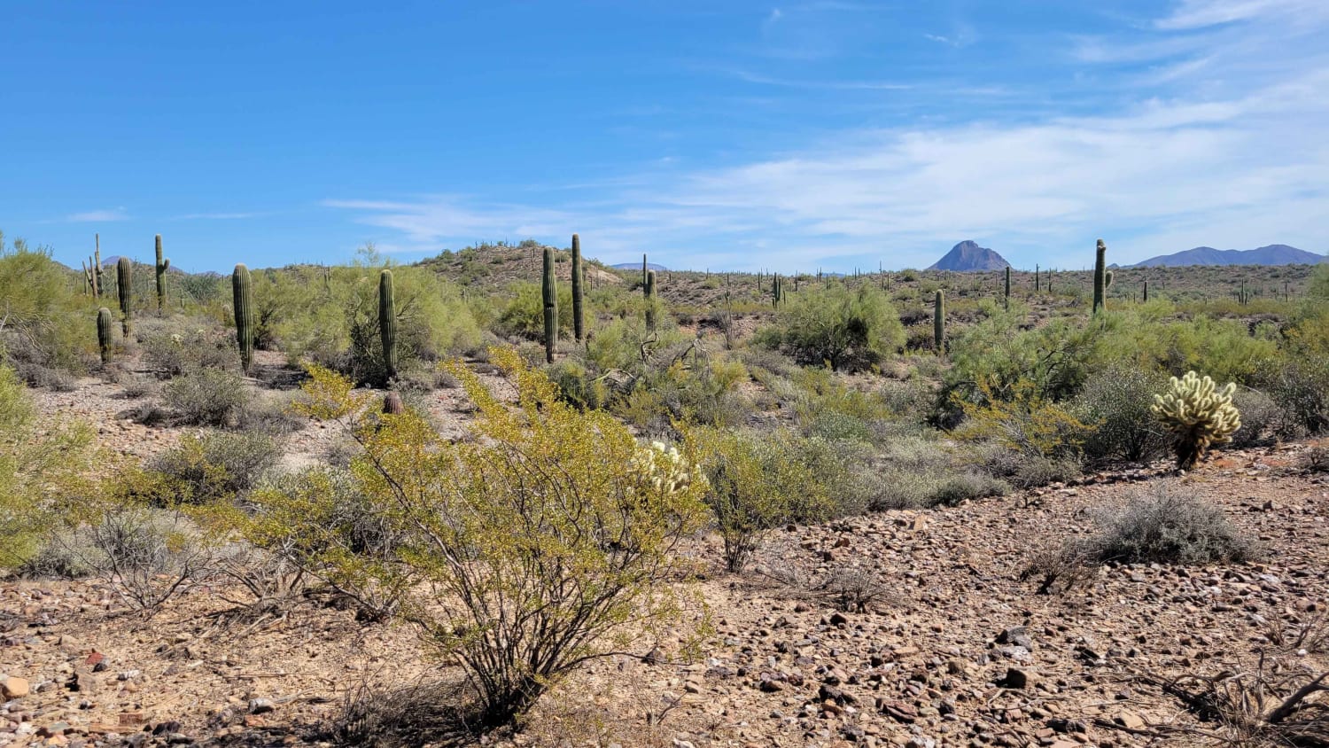
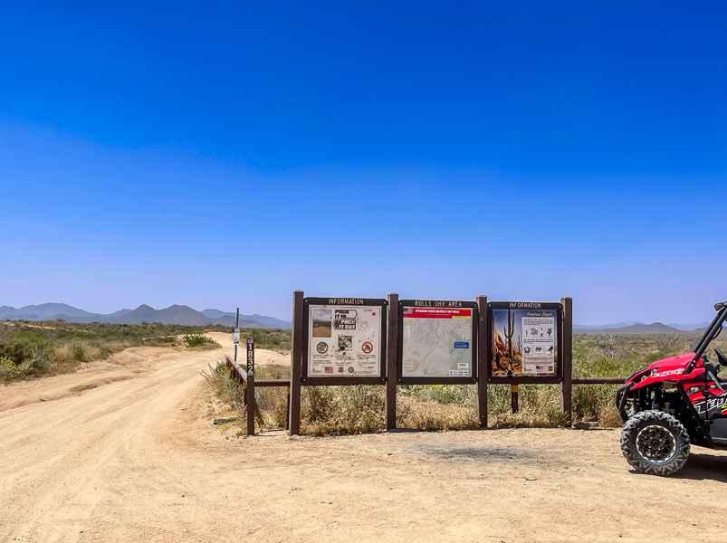
This route connects Ss1050 on the east side to the Hot Well Dunes area and begins with one of the rougher This route connects Ss1050 on the east side to the Hot Well Dunes area and begins with one of the rougher sections in the network. The western portion is a rocky "rock garden" that winds around the mountain toward the east side of Javelina Peak. Expect slow travel through uneven rock with tall desert grasses, cholla, and prickly pear lining the trail. While not technical, careful tire placement is recommended. You'll soon reach a Y-intersection. Stay right to remain on Ss1103 and continue toward Ss1150. Go left for a short detour to Dripping Springs at the base of the mountain -- a great place to pause and take in the scenery and have lunch. Beyond the springs, the trail continues through the mountains with beautiful views as you pass between ridgelines. There are two washed-out sections along this stretch; both have been filled in enough to allow vehicles through, but use caution, especially after storms. Next, you'll arrive at a corral and gate. After passing through, the trail enters State Trust Land, and a valid permit is required. From this point east, the terrain changes noticeably. The rough rock transitions to smoother gravel. The road becomes graded and remains relatively easy all the way to the Y-intersection at another corral on Ss1050.
Photos of Ss1103


Difficulty
This trail is consistently rocky with little forgiveness, creating a rough ride throughout most of the route. No technical obstacles were observed, but the surface remains uneven and rocky until the final section past the corral leading to SS1050. High clearance is recommended.
Status Reports
Ss1103 can be accessed by the following ride types:
- High-Clearance 4x4
- SUV
- SxS (60")
- ATV (50")
- Dirt Bike
Ss1103 Map
Popular Trails
Golden Harp Mine
Saguaro Way

Sorrels Ranch Offshoot
The onX Offroad Difference
onX Offroad combines trail photos, descriptions, difficulty ratings, width restrictions, seasonality, and more in a user-friendly interface. Available on all devices, with offline access and full compatibility with CarPlay and Android Auto. Discover what you’re missing today!