Sa1073
Total Miles
3.3
Technical Rating
Best Time
Spring, Summer, Fall, Winter
Trail Type
Full-Width Road
Accessible By
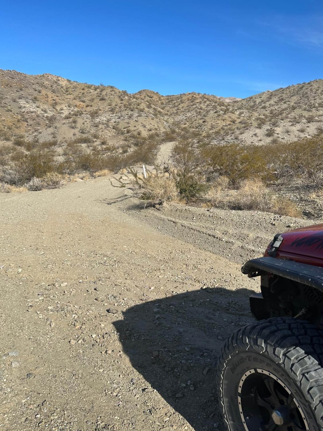
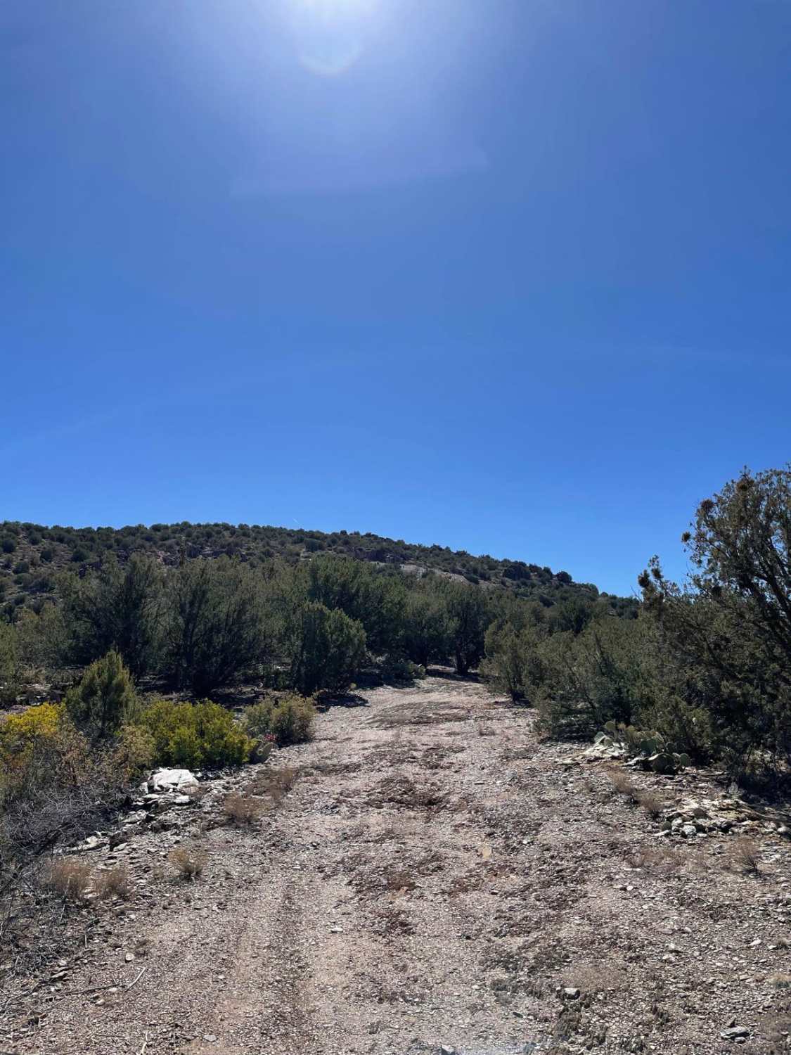
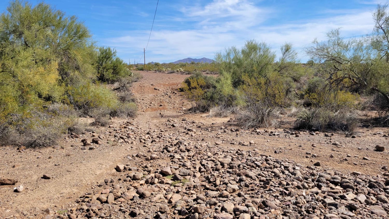
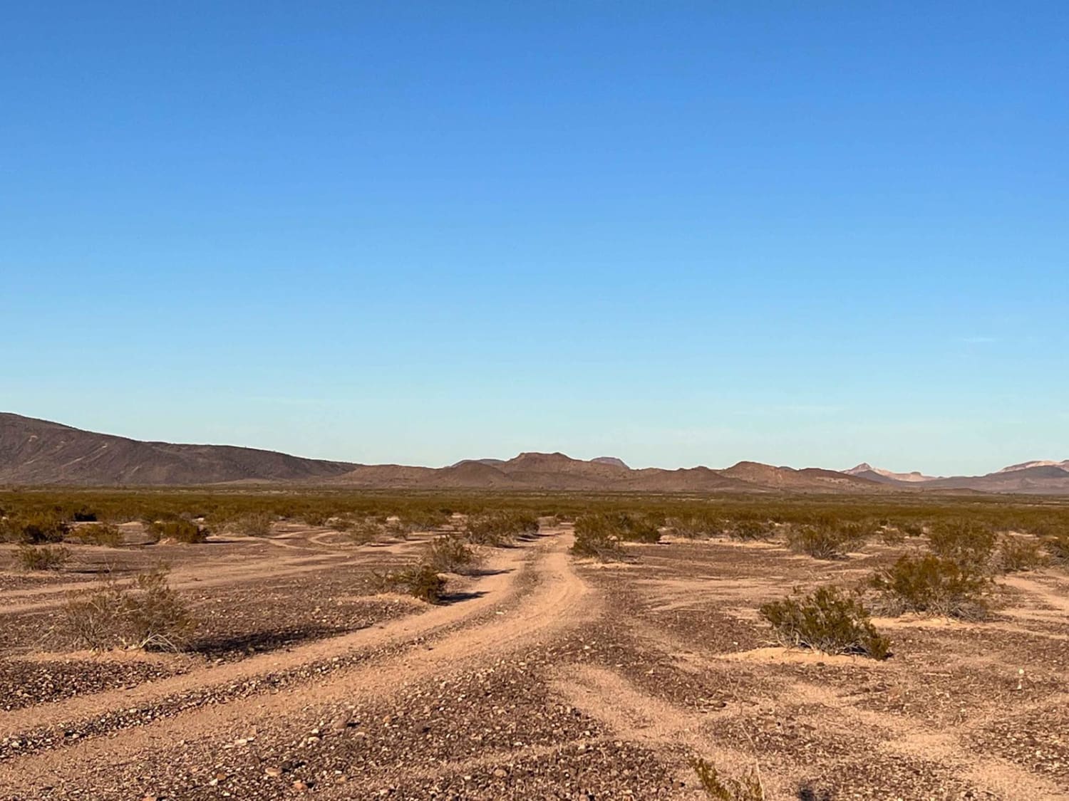
Trail Overview
Trail Sa1073 is a connector trail within the system. It can be run southbound for a beautiful view of Mount Graham. The northern end terminates at a private property locked gate, while the southern end connects to Airport Road. Along the route, you'll pass a large water tank and power lines. The trail itself is a well-maintained gravel road and is considered easily accessible to most passenger cars, 2WD, and 4WD vehicles. Wildlife viewing is possible in this area; a red-tailed hawk has been spotted along the trail. There are also camp rings near the large water tank. Private property lines the south side of the trail--please respect all boundaries. This connector provides access to several other trails within the system.
Photos of Sa1073


Difficulty
This trail is an easy, well-maintained road suitable for any vehicle. Conditions are generally smooth and accessible for drivers of all experience levels.
Status Reports
Sa1073 can be accessed by the following ride types:
- High-Clearance 4x4
- SUV
- SxS (60")
- ATV (50")
Sa1073 Map
Popular Trails
Klondyke Mine Loop
Stoddard Mine
Cactus Express
The onX Offroad Difference
onX Offroad combines trail photos, descriptions, difficulty ratings, width restrictions, seasonality, and more in a user-friendly interface. Available on all devices, with offline access and full compatibility with CarPlay and Android Auto. Discover what you’re missing today!