Pinstriper
Total Miles
0.9
Technical Rating
Best Time
Spring, Summer, Fall
Trail Type
Full-Width Road
Accessible By
Trail Overview
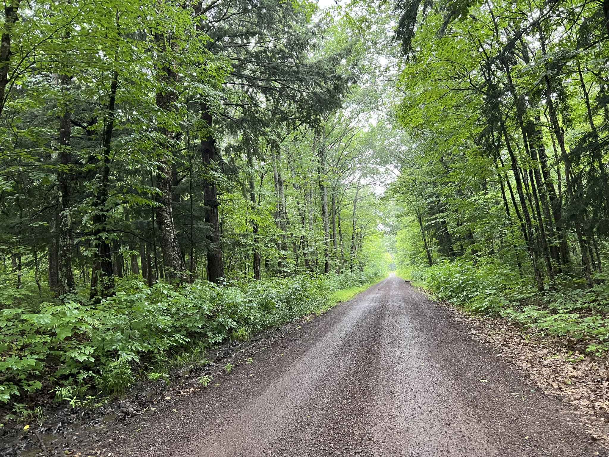
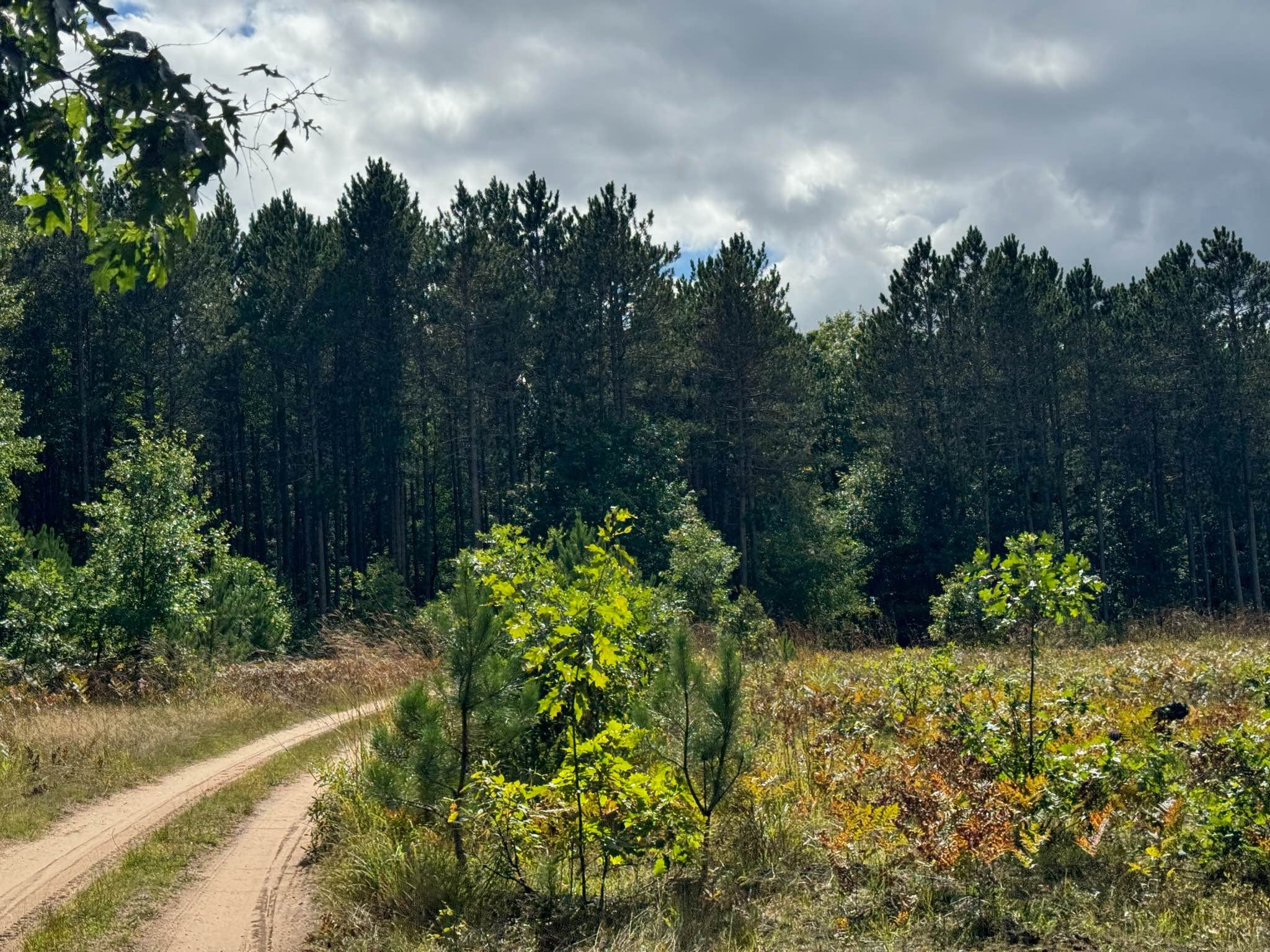
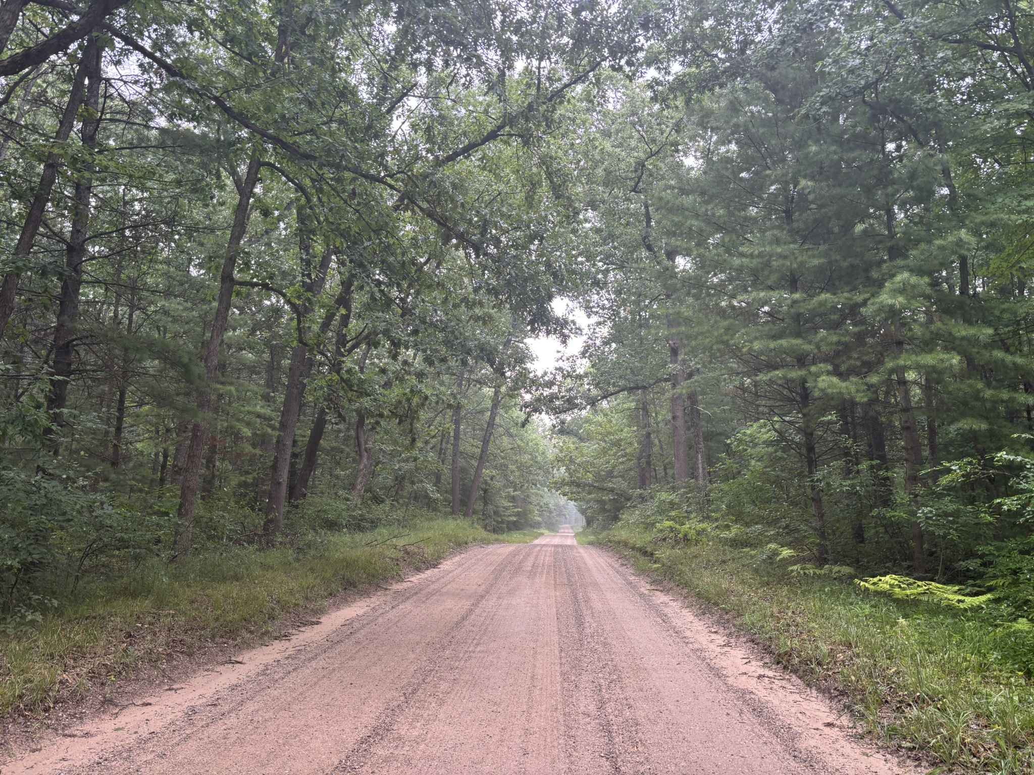
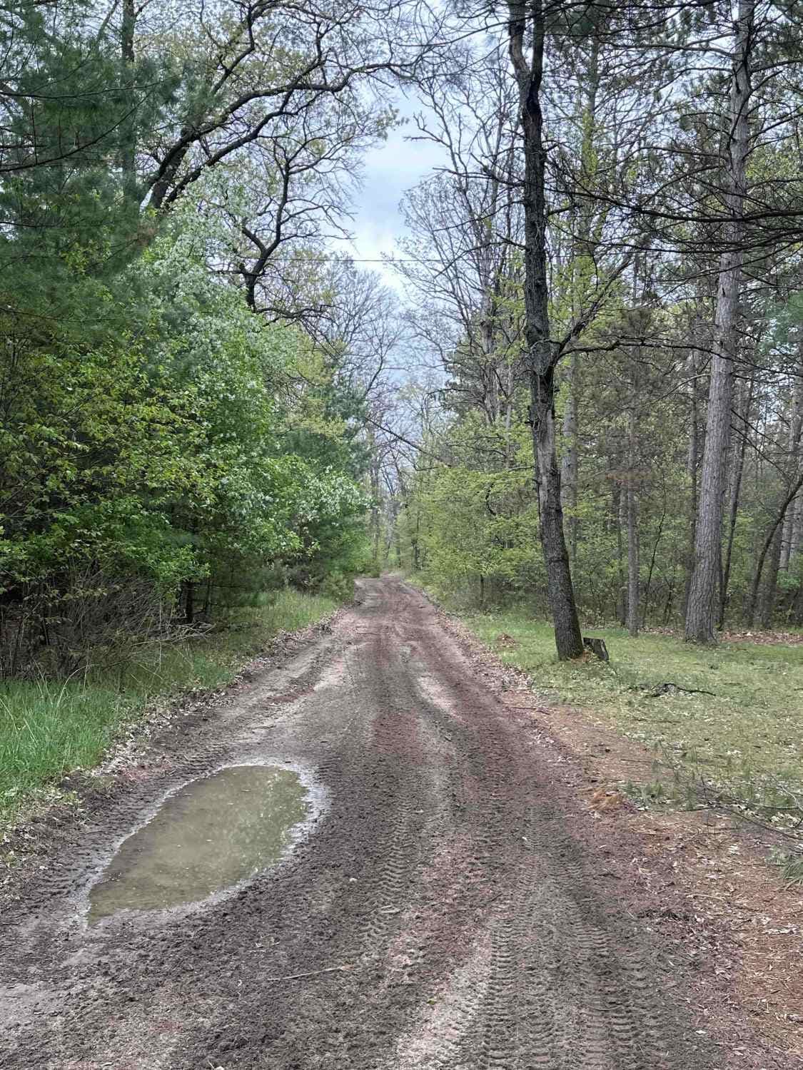
This trail connects Spear Road at the north end to Rayle Road at the south. The north end of the trail is relatively covered. It is less traveled than either Spear Road or Rayle Road. It is a single vehicle wide two-track trail that follows a ridge in a relatively straight line. There is a single drop of approximately 18 obstacles caused by tree roots about midway that is likely to impede any standard two-wheel drive car. Otherwise, the largest hazard on this trail is the abundance of undergrowth and tree branches on either side; inevitably, your vehicle will leave the trail with some "pinstriping" caused by overhanging branches. But this is the draw of the trail; it's not frequently frequented, and though there are scenic vistas along the way, its enclosed nature makes it feel like an adventure all the same.
Photos of Pinstriper


Difficulty
The trail is a single vehicle wide with overgrown vegetation. There is a single ledge midway that is about 16 inches wide that could be difficult for a two-wheel drive vehicle, as there is no bypass. Any standard 4x4 vehicle will not have an issue.
Status Reports
Pinstriper can be accessed by the following ride types:
- High-Clearance 4x4
- SUV
- SxS (60")
- ATV (50")
- Dirt Bike
Pinstriper Map
Popular Trails
South County Line Road
The onX Offroad Difference
onX Offroad combines trail photos, descriptions, difficulty ratings, width restrictions, seasonality, and more in a user-friendly interface. Available on all devices, with offline access and full compatibility with CarPlay and Android Auto. Discover what you’re missing today!