South County Line Road
Total Miles
4.0
Technical Rating
Best Time
Spring, Summer, Fall, Winter
Trail Type
Full-Width Road
Accessible By
Trail Overview
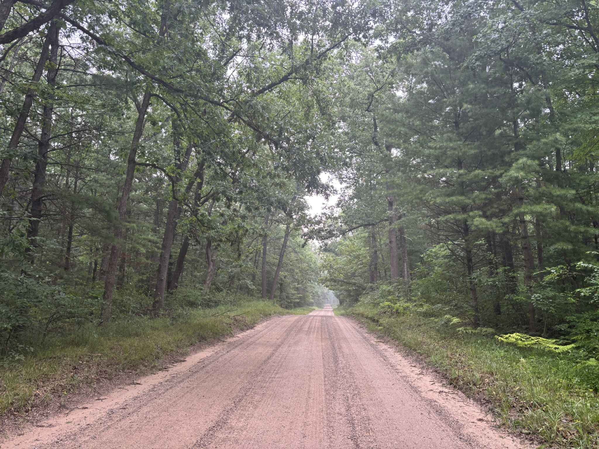
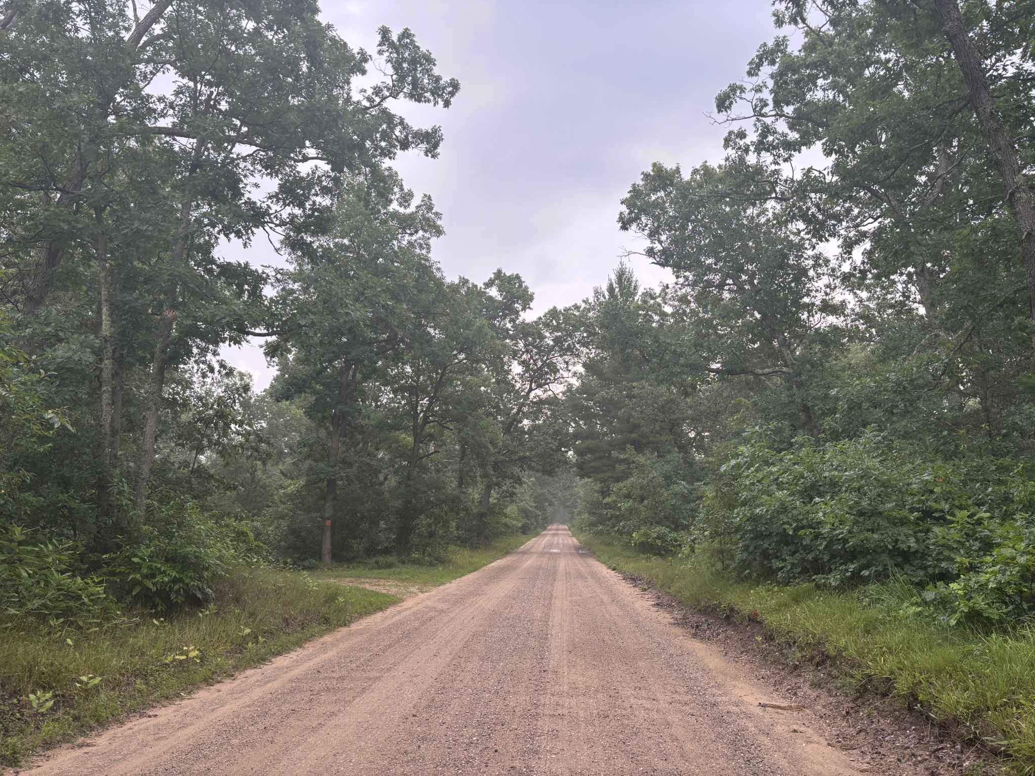
South County Line Road runs from the intersection of Rybicki Road and East County Line Road to the intersections of FS M10, and North Campbell Road. South County Line Road, as the name implies, runs along the southern edge of Manistee County. The trail is a wide open gravel road that allows quick and easy access to several trails within the Manistee National Forest. Several spur trails located along the northern edge of South County Line Road will provide access to the Manistee River. The scenery along the trail is mostly comprised of mature forests; however, there are also some residential properties visible along the route. This trail is open year-round.
Photos of South County Line Road
Difficulty
This trail can be completed by riders of all experience levels. The gravel is hard-packed, allowing for excellent traction at all times. The sight lines throughout the trail are also excellent and allow for easy viewing of what lies ahead. During dry spells, the silt on this trail can lead to an increased level of dust.
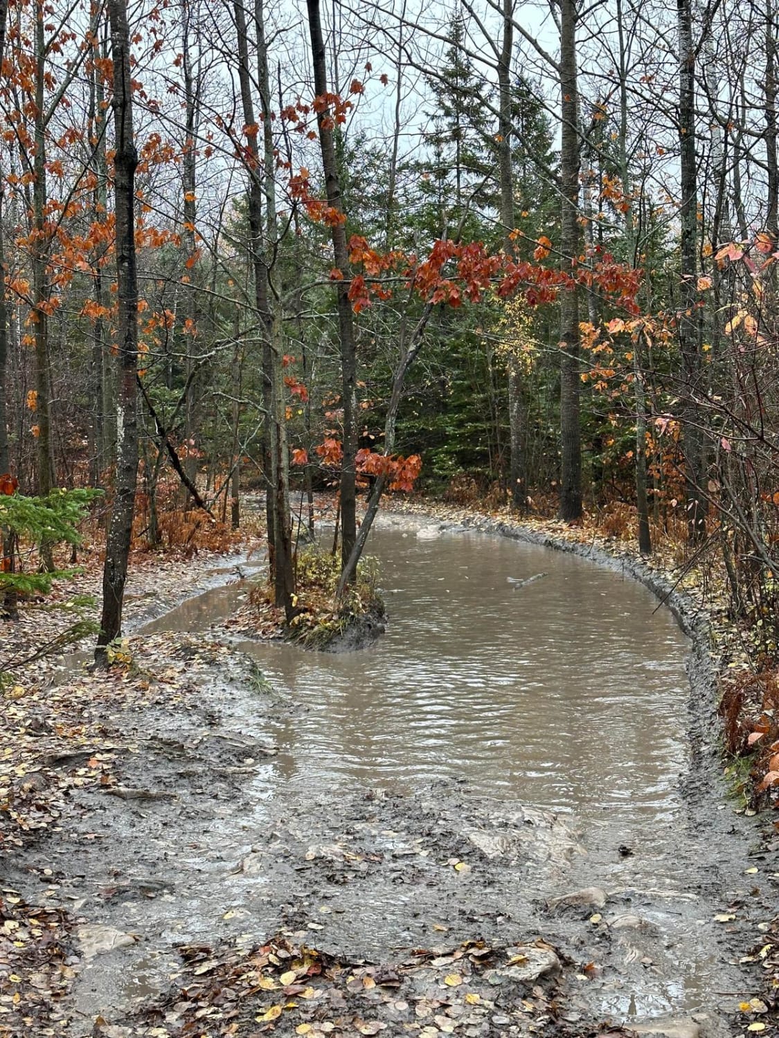
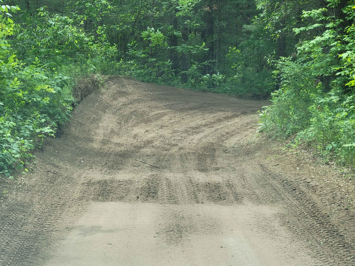
Status Reports
South County Line Road can be accessed by the following ride types:
- High-Clearance 4x4
- SUV
South County Line Road Map
Popular Trails

St. Helen Trail

Shale Beach
SE Little Manistee Route (344E)
The onX Offroad Difference
onX Offroad combines trail photos, descriptions, difficulty ratings, width restrictions, seasonality, and more in a user-friendly interface. Available on all devices, with offline access and full compatibility with CarPlay and Android Auto. Discover what you’re missing today!