Foothill Loop
Total Miles
3.7
Technical Rating
Best Time
Spring, Summer, Fall
Trail Type
Full-Width Road
Accessible By
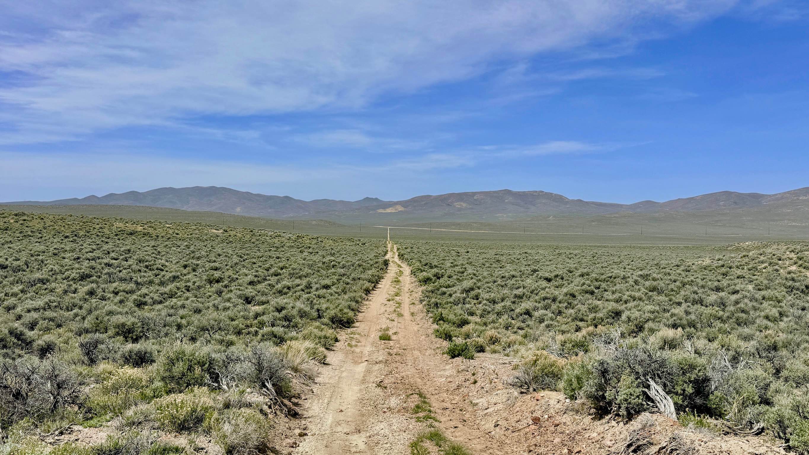
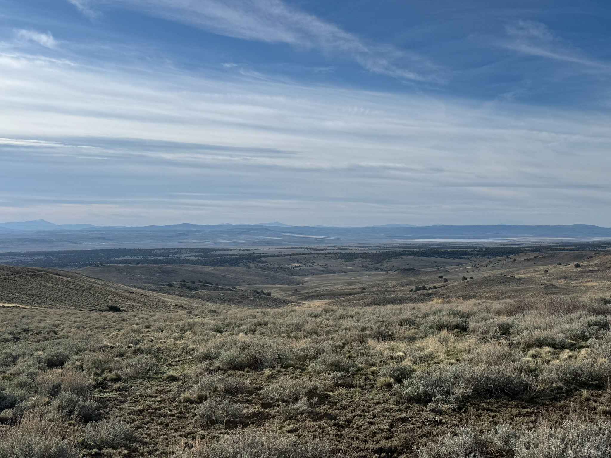
Trail Overview
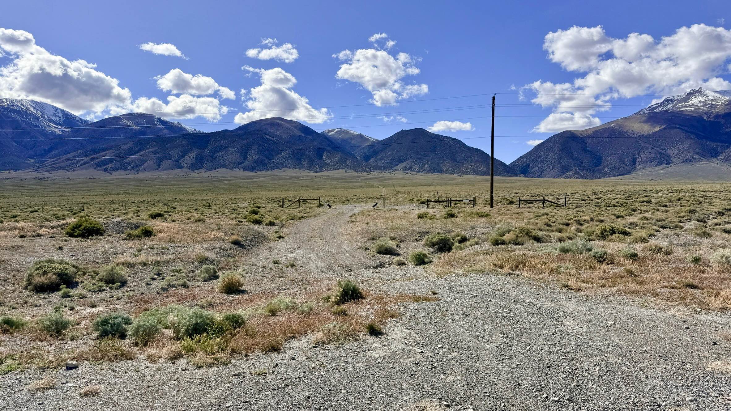
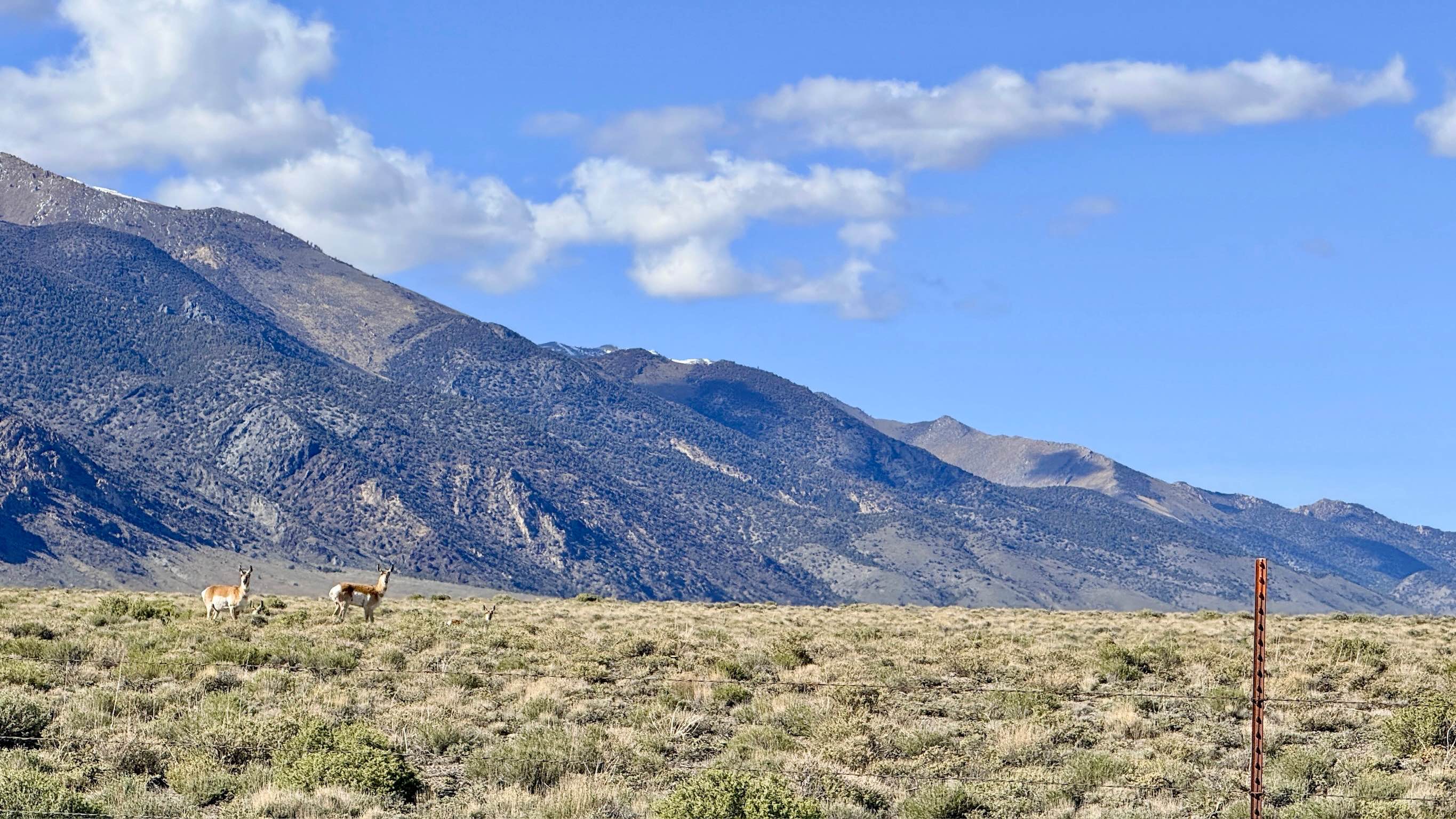
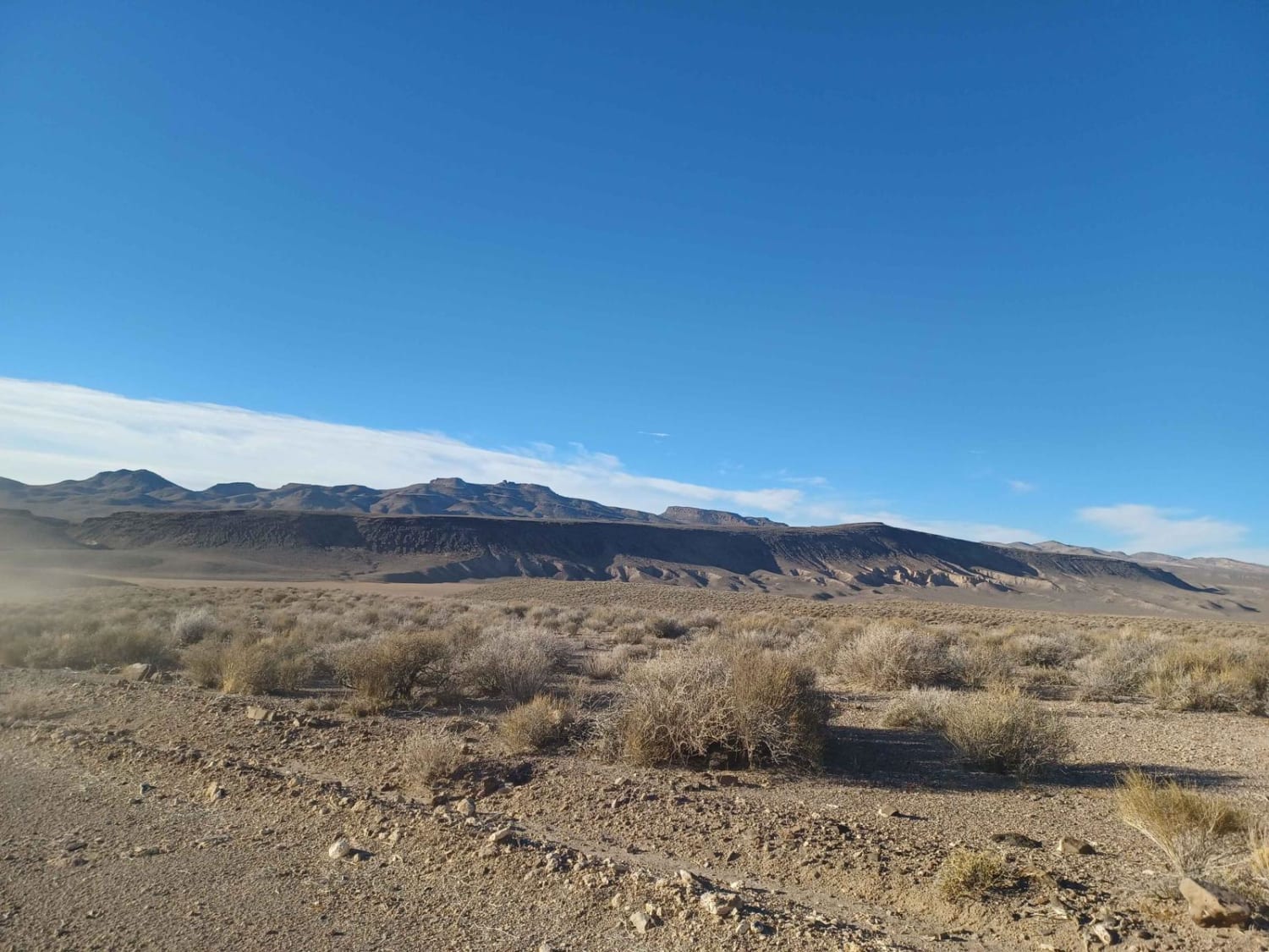
This trail is an engaging mountain ascent that climbs directly from the valley floor along Highway 376 into the undulating hills of the Toiyabe Range. This trail offers a spirited driving experience, characterized by a series of "big dips" and several deep, dry wash crossings that will keep you focused on your approach angles. As the route gains elevation, you'll navigate through loose, rocky sections and established ruts that add a healthy dose of fun to the climb. As you ascend, you will pass a popular local spot on your left featuring picnic tables; this area is a well-known community site for target shooting and clay pigeons, offering excellent "down-range" views. Because of the flat ground and existing amenities, this area and several others farther up the hill make for great dispersed camping with high-vantage views of the Big Smoky Valley. The loop eventually hangs a left, transitioning into a scenic "cut-across" track that carries you higher into the foothills, providing outstanding panoramic vistas of the shimmering valley floor far below. There is no cell service on this loop. The surrounding hills block signals from the valley corridor. Download offline maps before leaving the Highway 376 area.
Photos of Foothill Loop
Difficulty
Rated a 3 due to the combination of steep transitions into dry washes and loose, rutted hill climbs.
Status Reports
Foothill Loop can be accessed by the following ride types:
- High-Clearance 4x4
- SUV
- SxS (60")
- ATV (50")
- Dirt Bike
Foothill Loop Map
Popular Trails
Headliner Trail
Box Spring FS43227
Sheldon Wildlife Refuge & Yellow Peak
The onX Offroad Difference
onX Offroad combines trail photos, descriptions, difficulty ratings, width restrictions, seasonality, and more in a user-friendly interface. Available on all devices, with offline access and full compatibility with CarPlay and Android Auto. Discover what you’re missing today!