McCalla to St.Mary's Connection
Total Miles
3.1
Technical Rating
Best Time
Summer, Fall
Trail Type
High-Clearance 4x4 Trail
Accessible By
Trail Overview
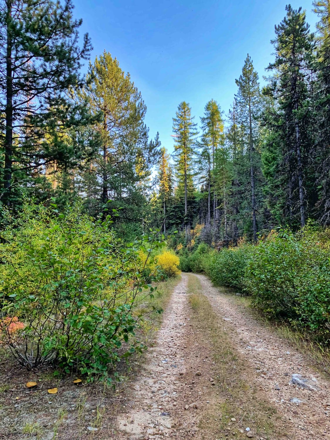
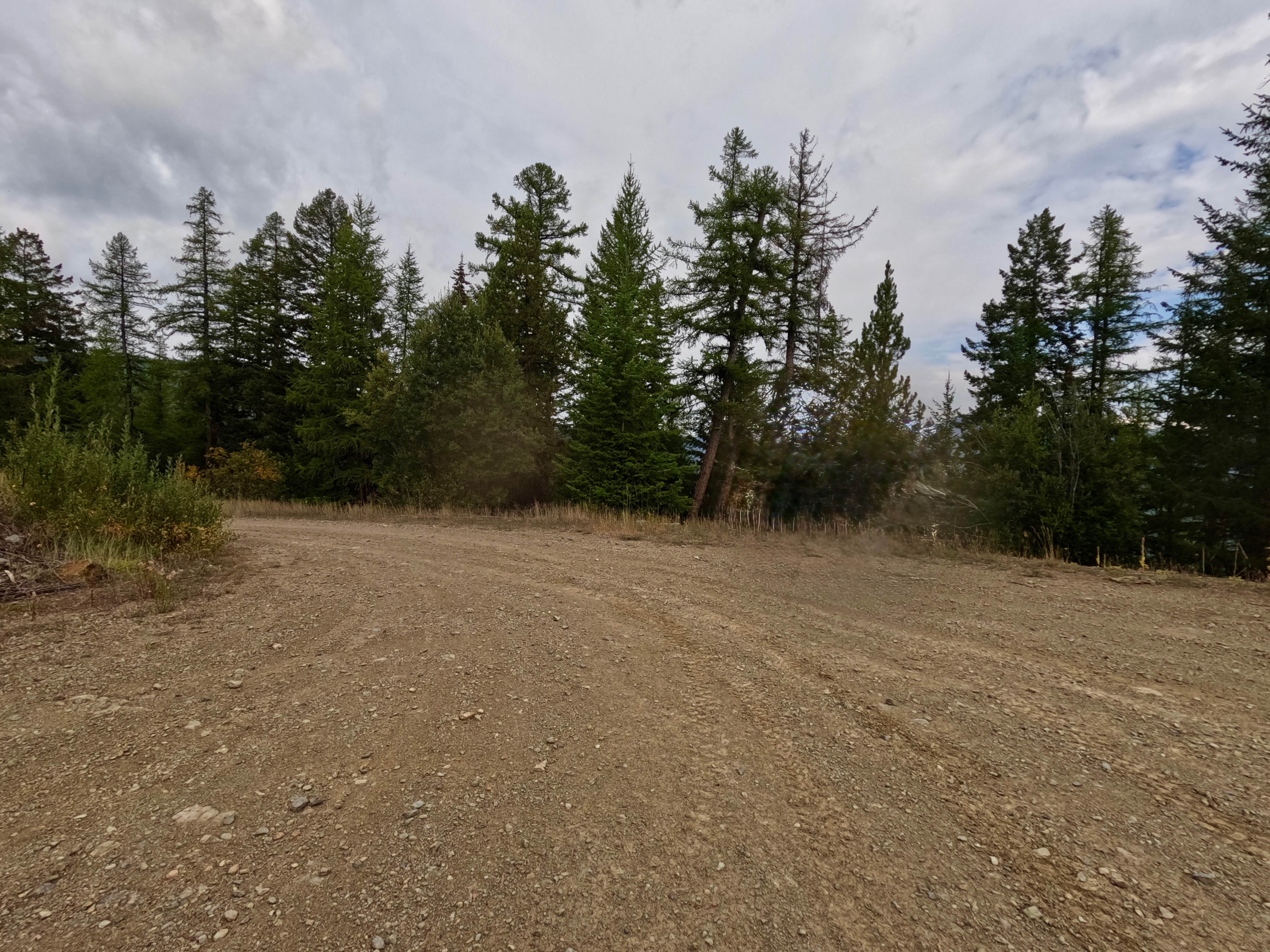
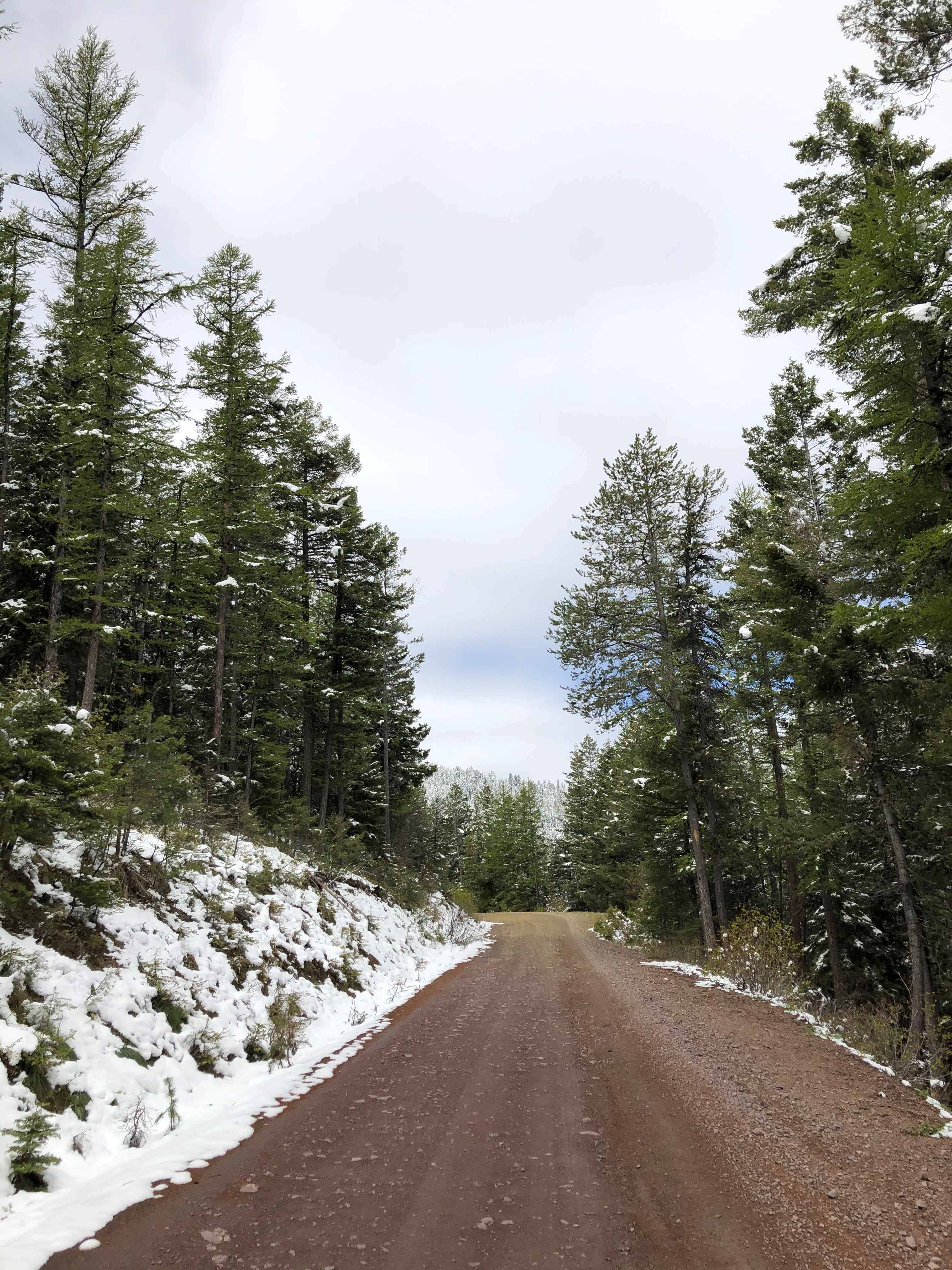
This is a pretty wooded dirt trail that runs along the hillsides between McCalla Ridge and St.Mary's. It can be used to connect all three trails up to make a loop. This trail is less traveled than the others and is narrow in places running one car width along some of the ridge sections. with few good areas for two vehicles to pass. Beautiful trail to take in the fall with the leaves changing and some views out to the Bitterroot Valley. Several neat rock formations right on the trail to check out and a couple of dispersed campsites right off the road.
Photos of McCalla to St.Mary's Connection

Difficulty
This trail shows less use than the other popular ones in the area. It's narrow in a number of spots with limited spots for two vehicles to pass.Unmaintained after snow and in winter. If traveling in spring bring equipment to clear fallen trees.
Status Reports
McCalla to St.Mary's Connection can be accessed by the following ride types:
- High-Clearance 4x4
- SxS (60")
- ATV (50")
- Dirt Bike
McCalla to St.Mary's Connection Map
Popular Trails
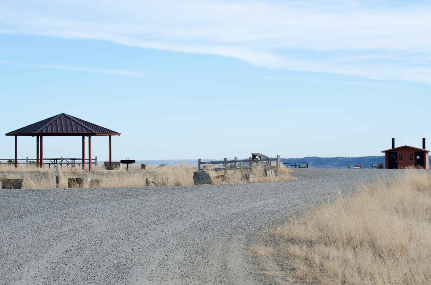
Acton Recreation Area
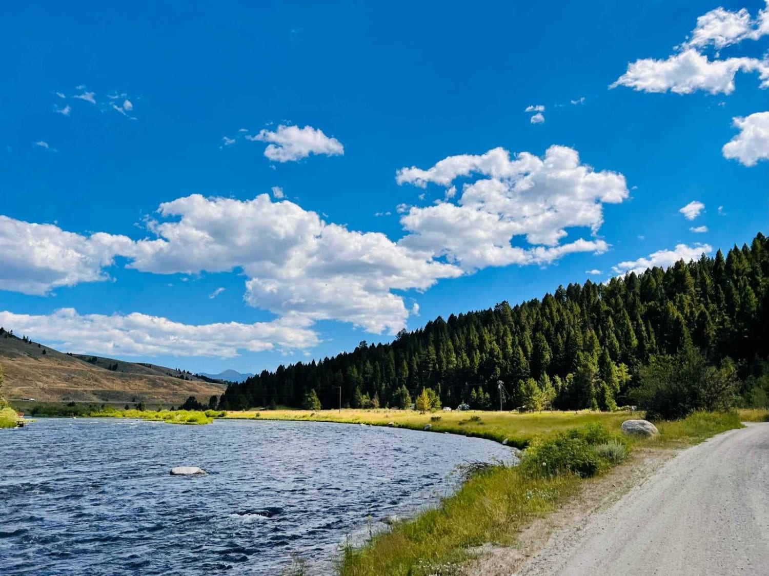
Eagle Nest River Access
West Side Nine Mile Road
The onX Offroad Difference
onX Offroad combines trail photos, descriptions, difficulty ratings, width restrictions, seasonality, and more in a user-friendly interface. Available on all devices, with offline access and full compatibility with CarPlay and Android Auto. Discover what you’re missing today!