91079B
Total Miles
2.1
Technical Rating
Best Time
Spring, Summer, Fall, Winter
Trail Type
Full-Width Road
Accessible By
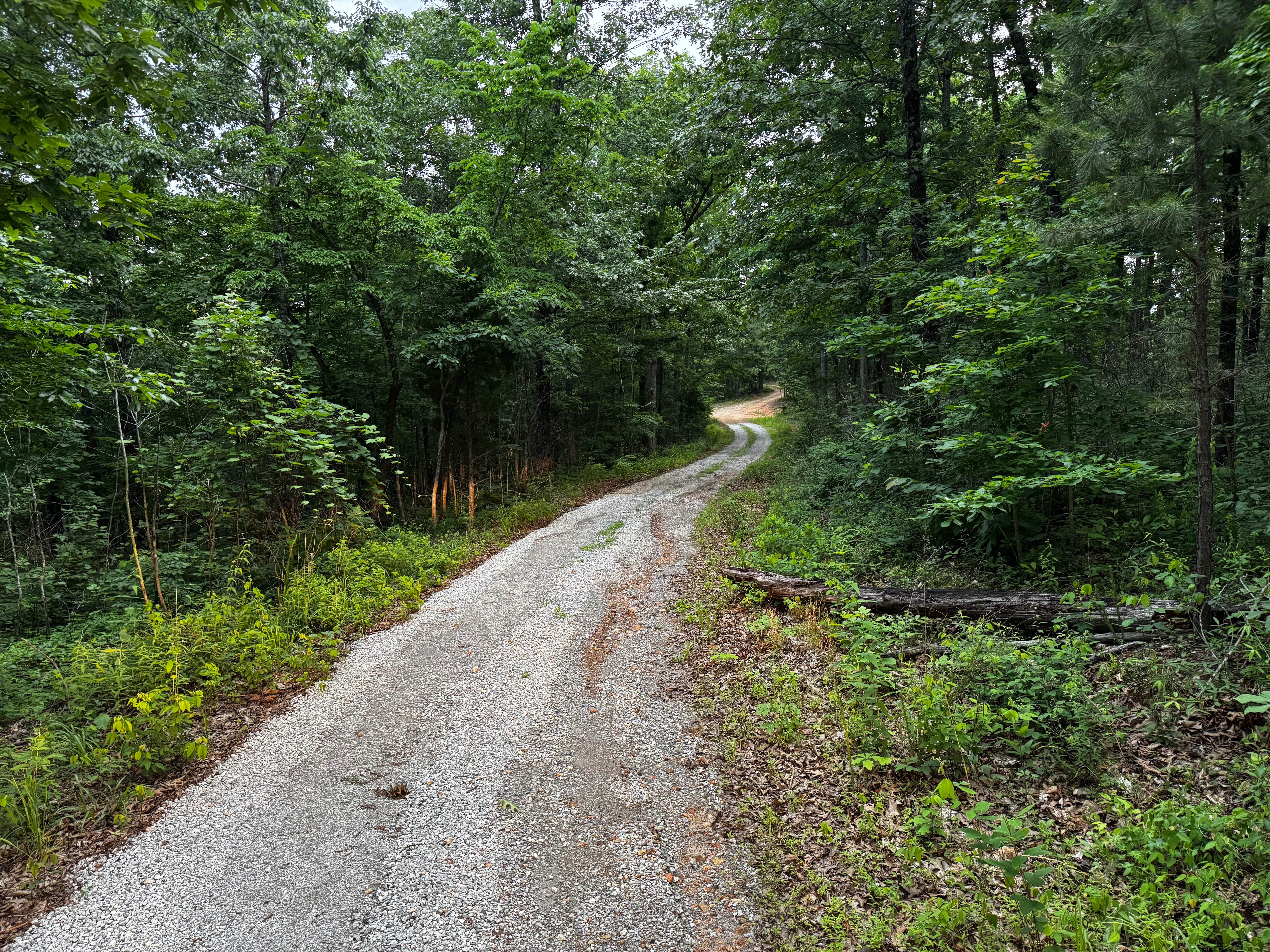
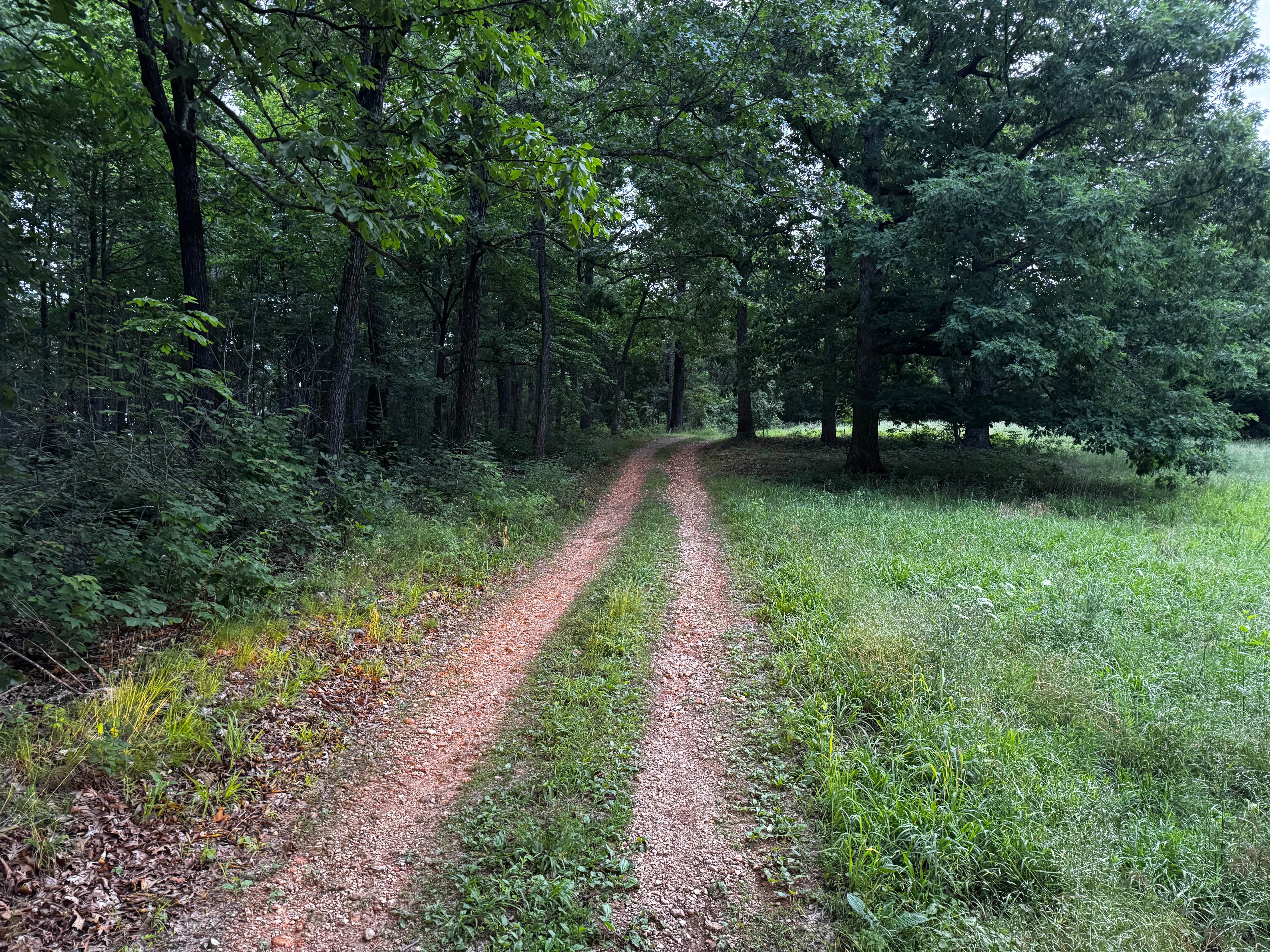
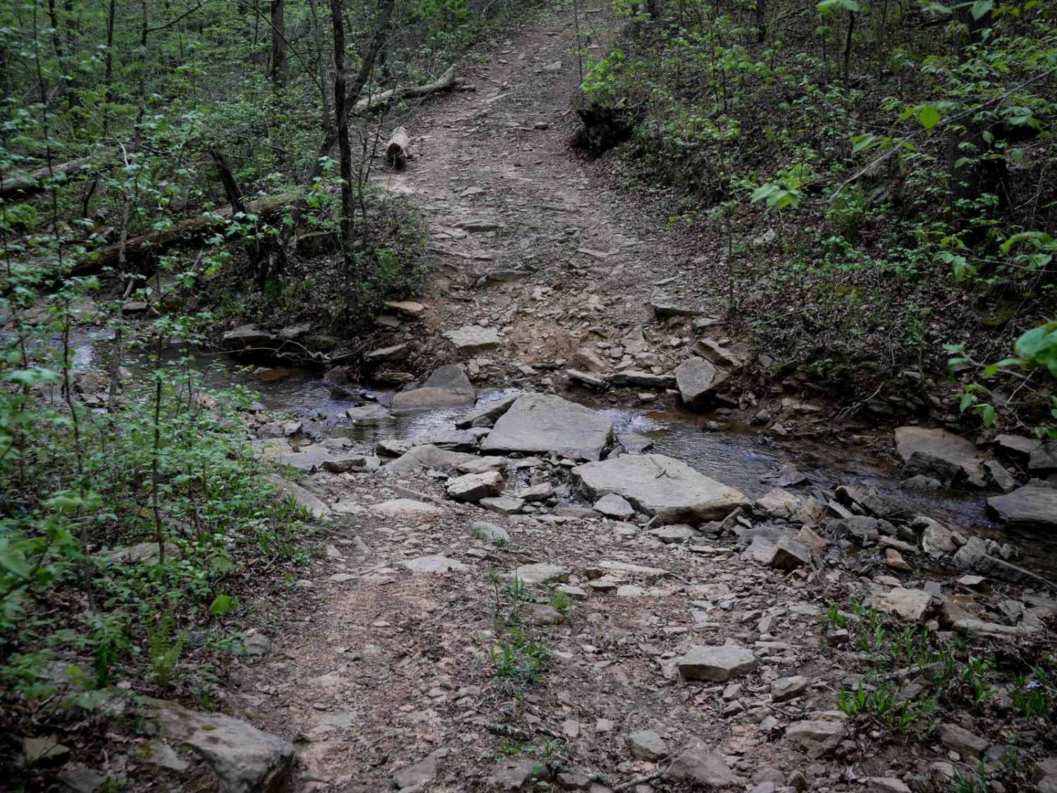
Trail Overview
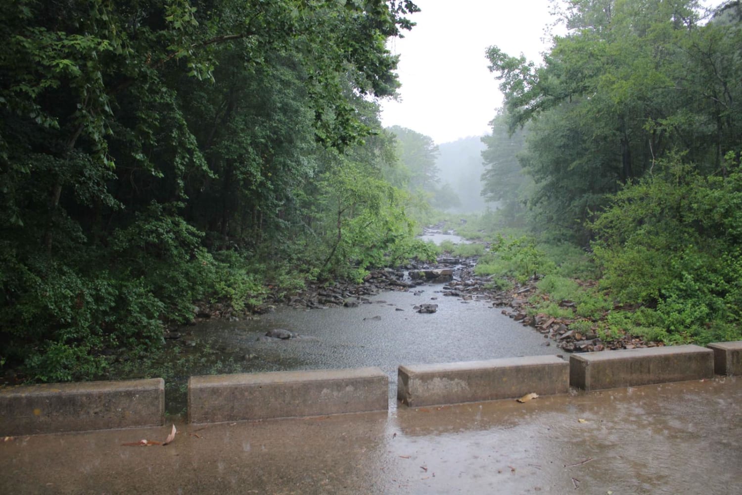
This route travels through a dense forest filled with tall hardwoods and pines, creating a quiet and enclosed feel for most of the drive. The trail itself is narrow with a gravel base and only wide enough for a single vehicle in many sections. While there are very few technical obstacles, there are a handful of short hill climbs as the route winds through the rolling terrain. Some areas have thick overgrowth pushing close to the route, especially around corners and tighter wooded sections, so pinstriping and paint scratches are very possible for wider vehicles. The route eventually opens into a grassy clearing surrounded by trees, offering a peaceful ending point tucked back in the woods.
Photos of 91079B
Difficulty
This is an easy gravel forest route with only minor elevation changes and no major technical obstacles. The main challenge comes from the narrow one vehicle wide sections and areas of overgrowth that can cause pinstriping or scratches in your paint, especially on wider bodied vehicles.
History
The roads throughout this region were originally established for logging, mining, homestead access, and fire management long before recreational off-roading became popular. Portions of the surrounding Buffalo National River area contain deep ties to Ozark pioneer history, including old settlements, abandoned homesites, family cemeteries, and former mining operations dating back to the late 1800s and early 1900s. The nearby Rush Historic District was once one of the largest zinc mining communities in Arkansas during the early 20th century. Many of the ridge roads and hollows drivers travel today follow paths historically used by miners, loggers, ranchers, and local residents navigating the rugged Ozark terrain long before modern highways existed.
Status Reports
91079B can be accessed by the following ride types:
- High-Clearance 4x4
- SUV
- SxS (60")
- ATV (50")
- Dirt Bike
91079B Map
Popular Trails

Jack Creek Road
The onX Offroad Difference
onX Offroad combines trail photos, descriptions, difficulty ratings, width restrictions, seasonality, and more in a user-friendly interface. Available on all devices, with offline access and full compatibility with CarPlay and Android Auto. Discover what you’re missing today!