Muse Creek and Irons Fork
Total Miles
7.3
Technical Rating
Best Time
Spring, Summer, Fall, Winter
Trail Type
Full-Width Road
Accessible By
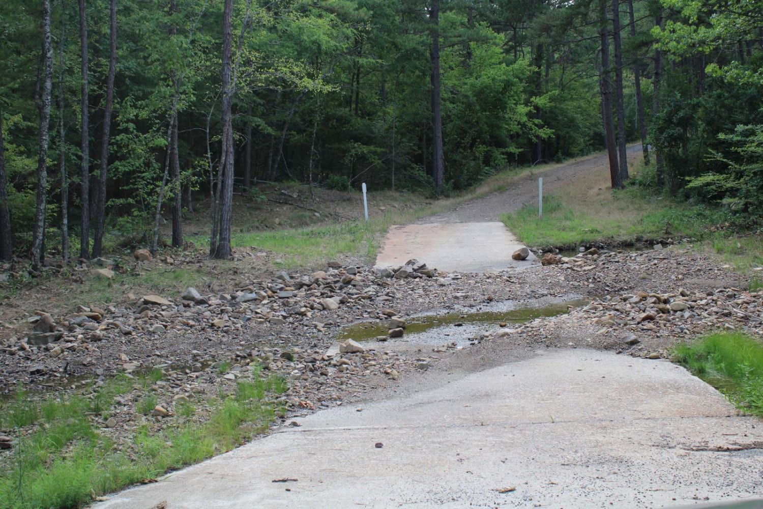
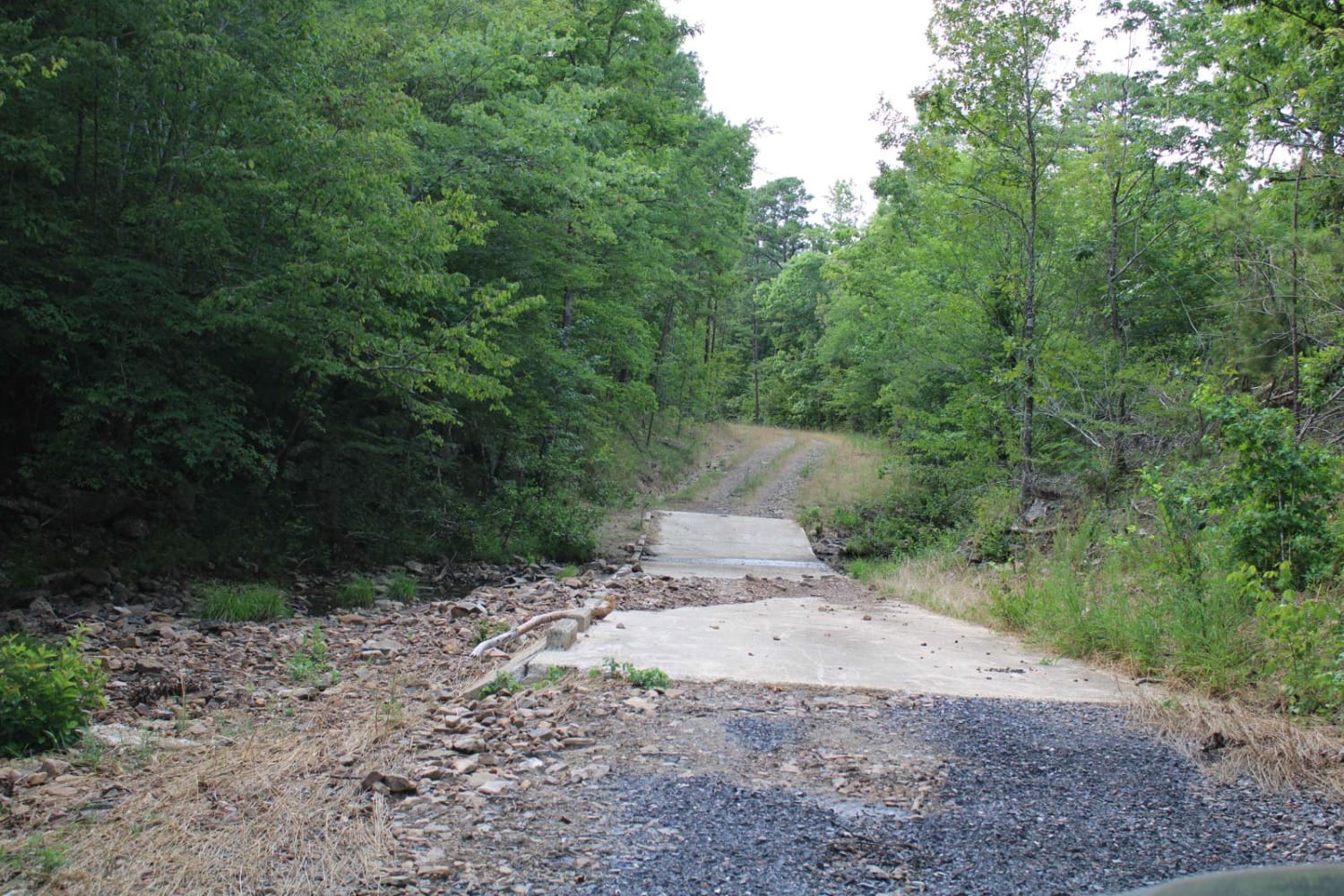
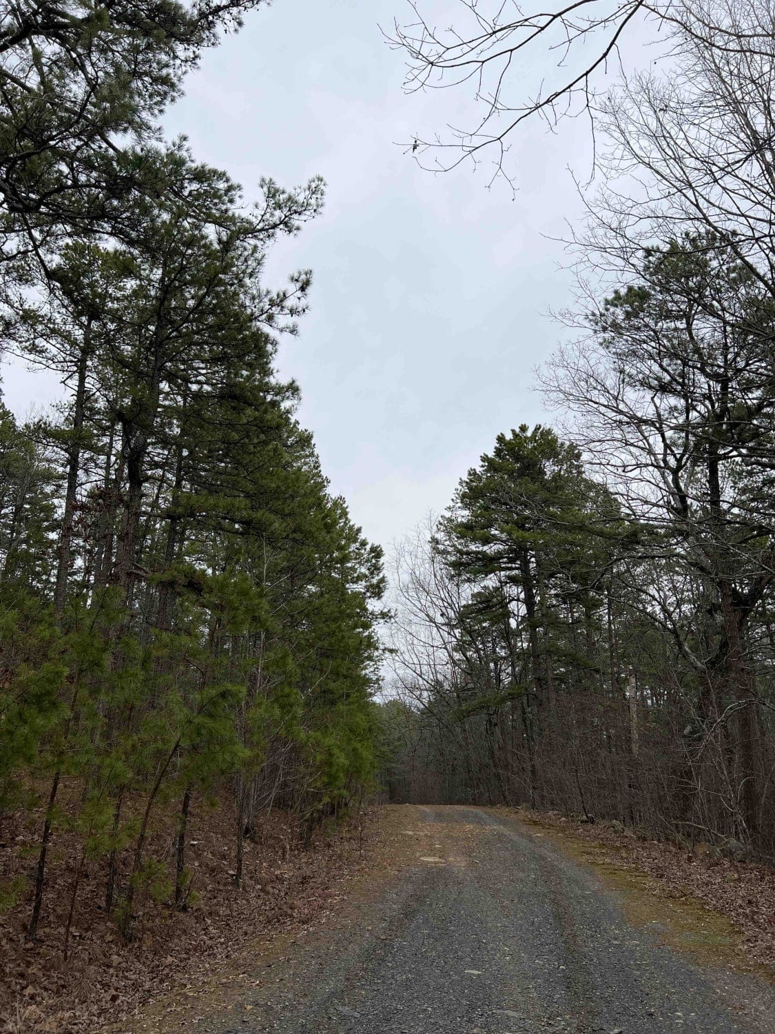
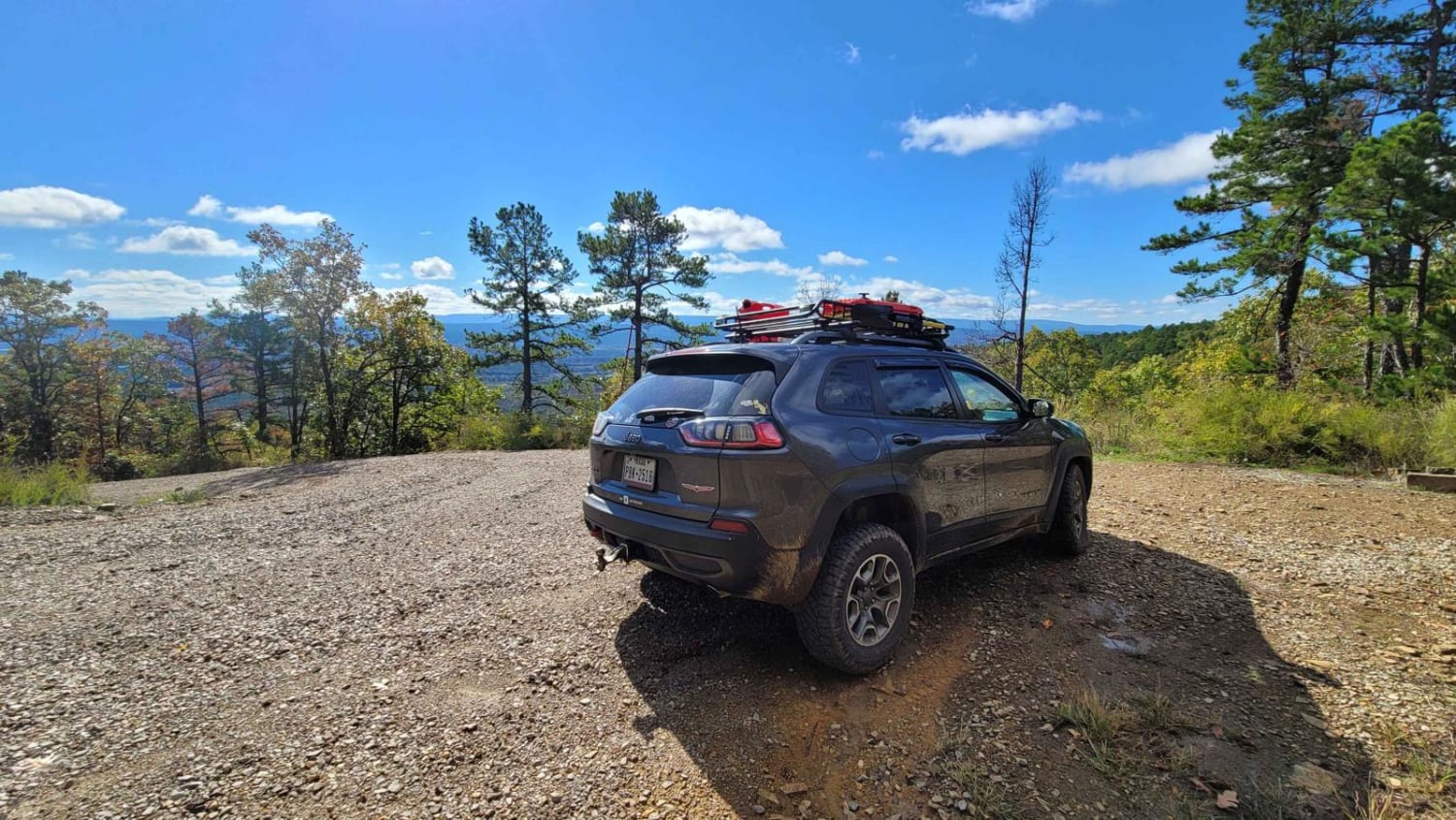
Trail Overview
This trail picks up from North Fork to Gladstone trail. Access from HWY 7 or Hwy 298. This maintained gravel road can be slippery when wet and dusty while dry. The trail ends on Irons Fork RD. There is room for camping at the end of Irons Fork Road and a nice camping spot on the main road. There are also two-track trails continuing from the camping spot. There can be water crossing, and some bridges had piles of rock to go over. Ground clearance is nice.
Photos of Muse Creek and Irons Fork
Difficulty
Water crossing are possible when creeks are running. When wet there can be mud. Some spots required climbing over rock wash.
Status Reports
Muse Creek and Irons Fork can be accessed by the following ride types:
- High-Clearance 4x4
- SUV
Muse Creek and Irons Fork Map
Popular Trails
Bear Creek Mountain Road 773

Gillham Lake Road

J15 King Cobra
Poteau Mountain South
The onX Offroad Difference
onX Offroad combines trail photos, descriptions, difficulty ratings, width restrictions, seasonality, and more in a user-friendly interface. Available on all devices, with offline access and full compatibility with CarPlay and Android Auto. Discover what you’re missing today!