Doe Road
Total Miles
3.4
Technical Rating
Best Time
Spring, Summer, Fall, Winter
Trail Type
Full-Width Road
Accessible By
Trail Overview
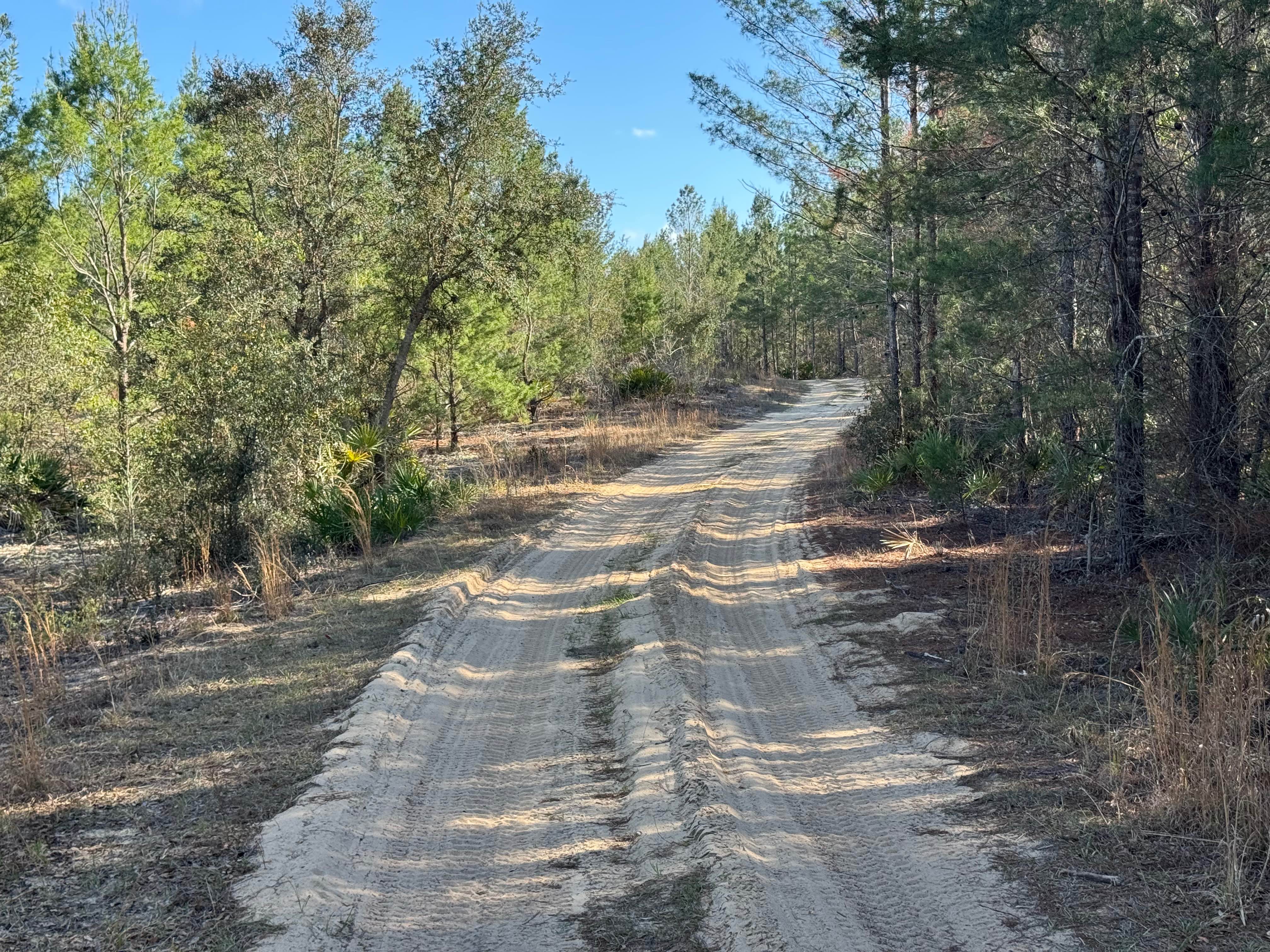
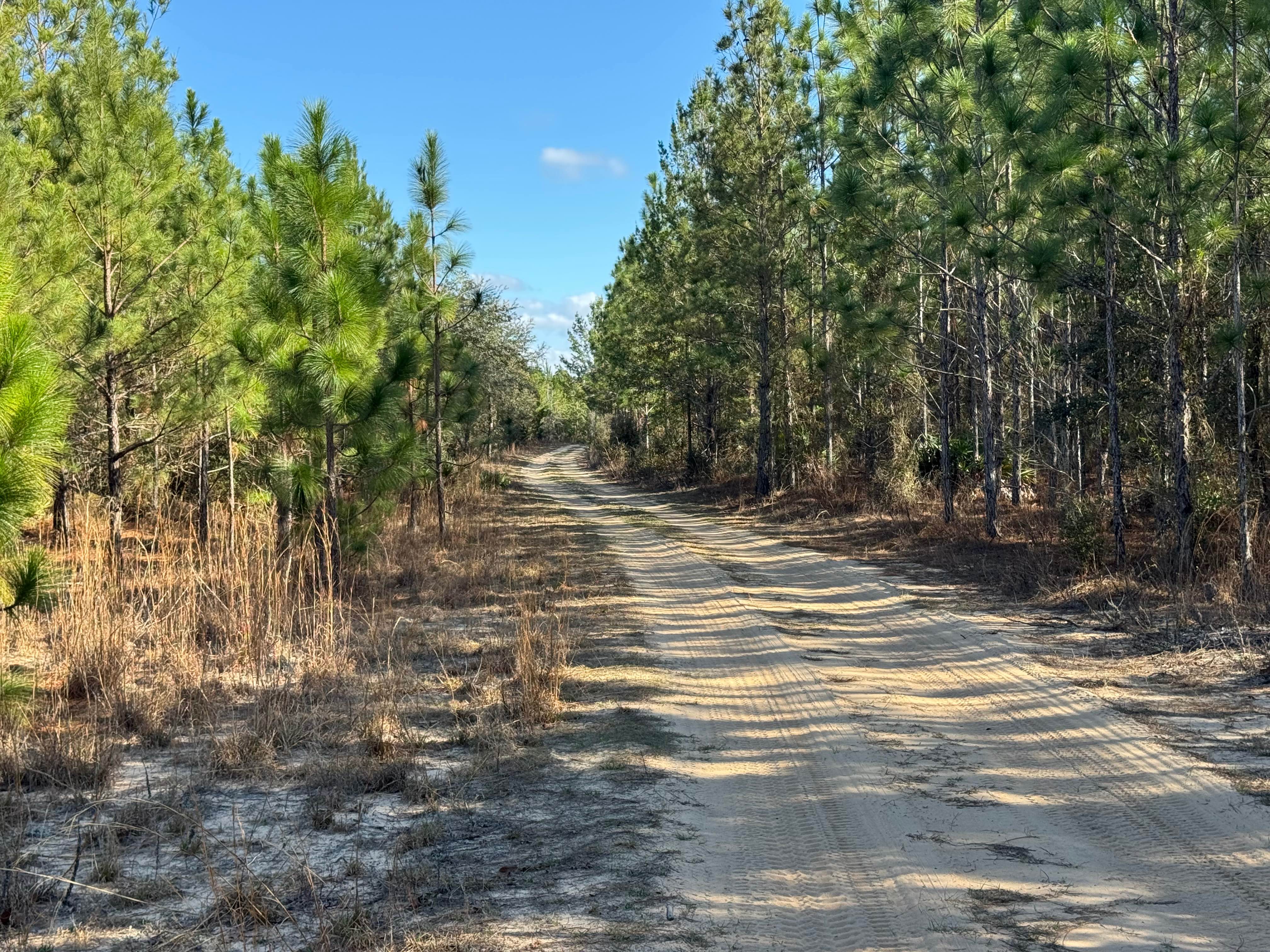
Doe Road parallels Middleton Lake Road but extends southbound to access more trails in the southern section of the Townsend WMA. It is just one lane wide but has places to pass as it runs through stands of southern pine and oak scrub. The surface is packed sand that can soften considerably in dry weather, so caution is recommended, especially with 2WD vehicles. Several spur trails and loops branch off the trail, and there is one area that looks like a sandy play area. The southern end of Doe Rod connects to Boundary Road, providing direct access to other trails further south. Doe Road is entirely within the Townsend WMA, and a valid Georgia Hunting or Fishing license is required to access the trail.
Photos of Doe Road
Difficulty
Mostly one vehicle wide, with some sections wider.
Status Reports
Doe Road can be accessed by the following ride types:
- High-Clearance 4x4
- SUV
Doe Road Map
Popular Trails
Tray Mountain Trail
Rocky Flats - FS 630D

Pine Island Road

Hickorynut Gap - FSR 797
The onX Offroad Difference
onX Offroad combines trail photos, descriptions, difficulty ratings, width restrictions, seasonality, and more in a user-friendly interface. Available on all devices, with offline access and full compatibility with CarPlay and Android Auto. Discover what you’re missing today!