4th of July Trail
Total Miles
9.3
Technical Rating
Best Time
Spring, Summer, Fall
Trail Type
Full-Width Road
Accessible By
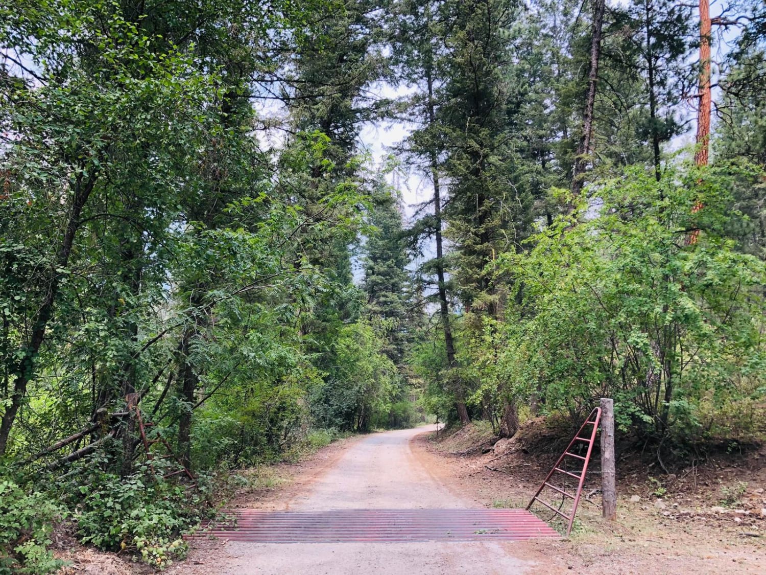
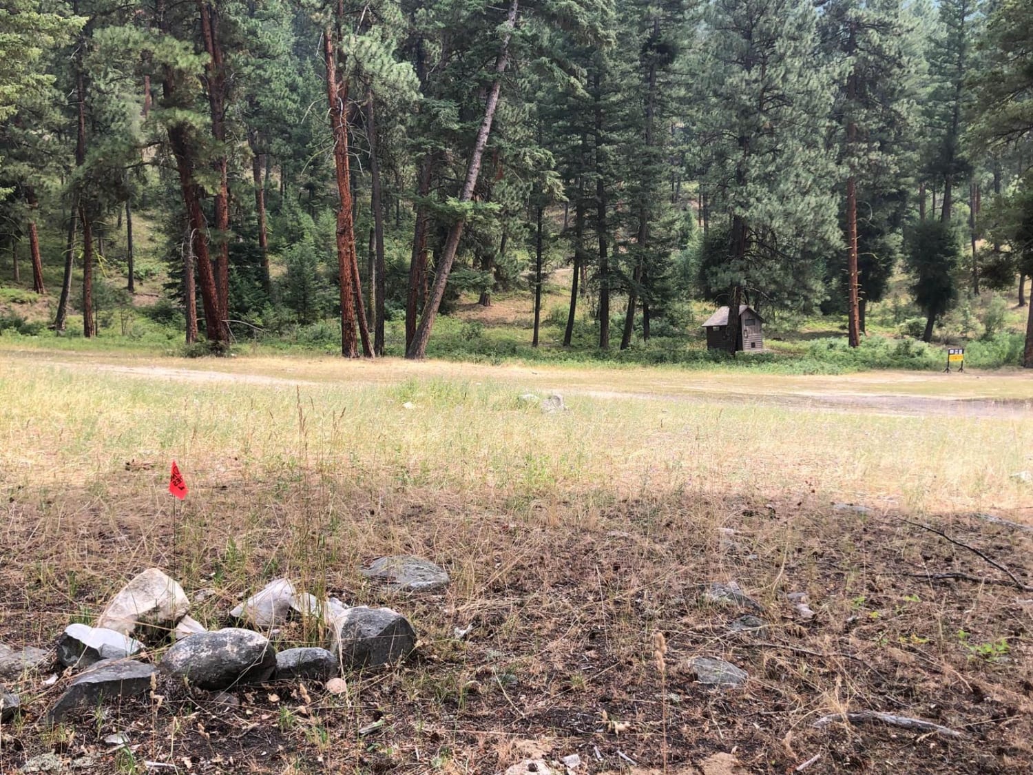
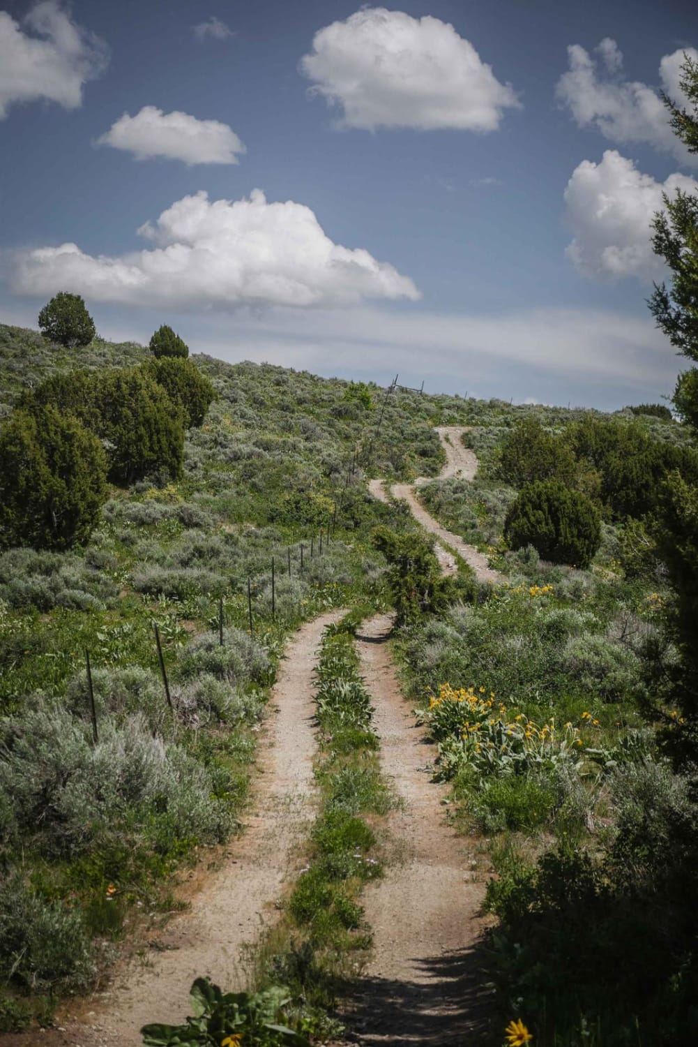
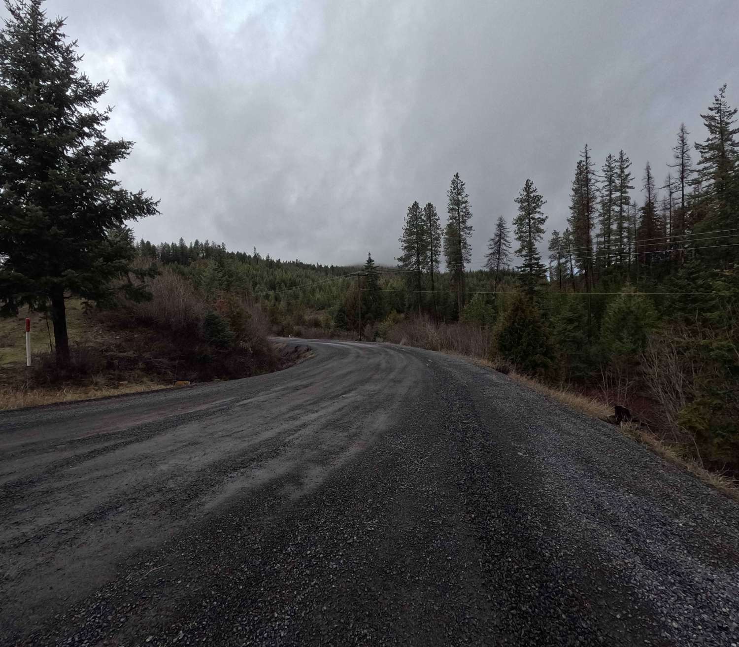
Trail Overview
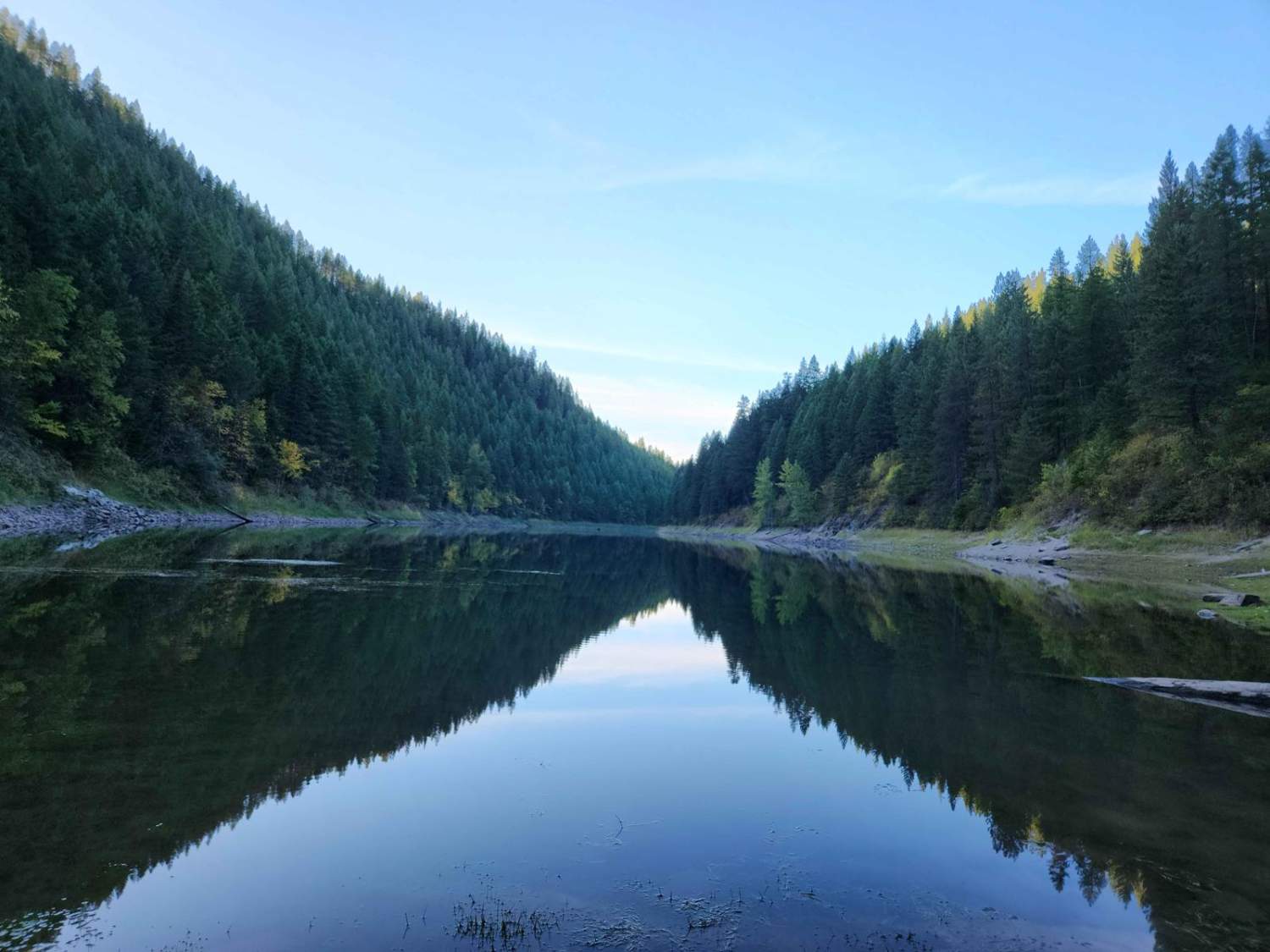
This is a 2 lane, maintained forest service road that leads to the long-standing fire tower for the Northfork, ID area with a 360-degree view of the surrounding mountain ranges. The knowledgeable and friendly watchman we spoke to has been standing watch over this area for 20 summers. There is a short section of shelf road with some loose rock. Hidden away along the climb, there are two lakes with hiking trails down to them. At the beginning of the trail, there is a large area with designated campsites, burn pits, a bathroom, and a running creek.
Photos of 4th of July Trail
Difficulty
Easy road for any vehicle.
4th of July Trail can be accessed by the following ride types:
- High-Clearance 4x4
- SUV
- SxS (60")
- ATV (50")
- Dirt Bike
4th of July Trail Map
Popular Trails

Hay Knapp Creek
Trail Hollow to Maple Hollow
Brush Creek - Trail 289
The onX Offroad Difference
onX Offroad combines trail photos, descriptions, difficulty ratings, width restrictions, seasonality, and more in a user-friendly interface. Available on all devices, with offline access and full compatibility with CarPlay and Android Auto. Discover what you’re missing today!