The Arkansas Overland Route - TrailHawk Loop - Section 27
Total Miles
28.0
Technical Rating
Best Time
Spring, Summer, Fall, Winter
Trail Type
Full-Width Road
Accessible By
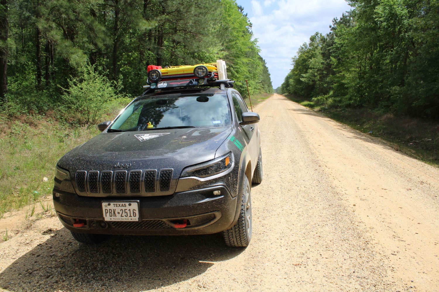
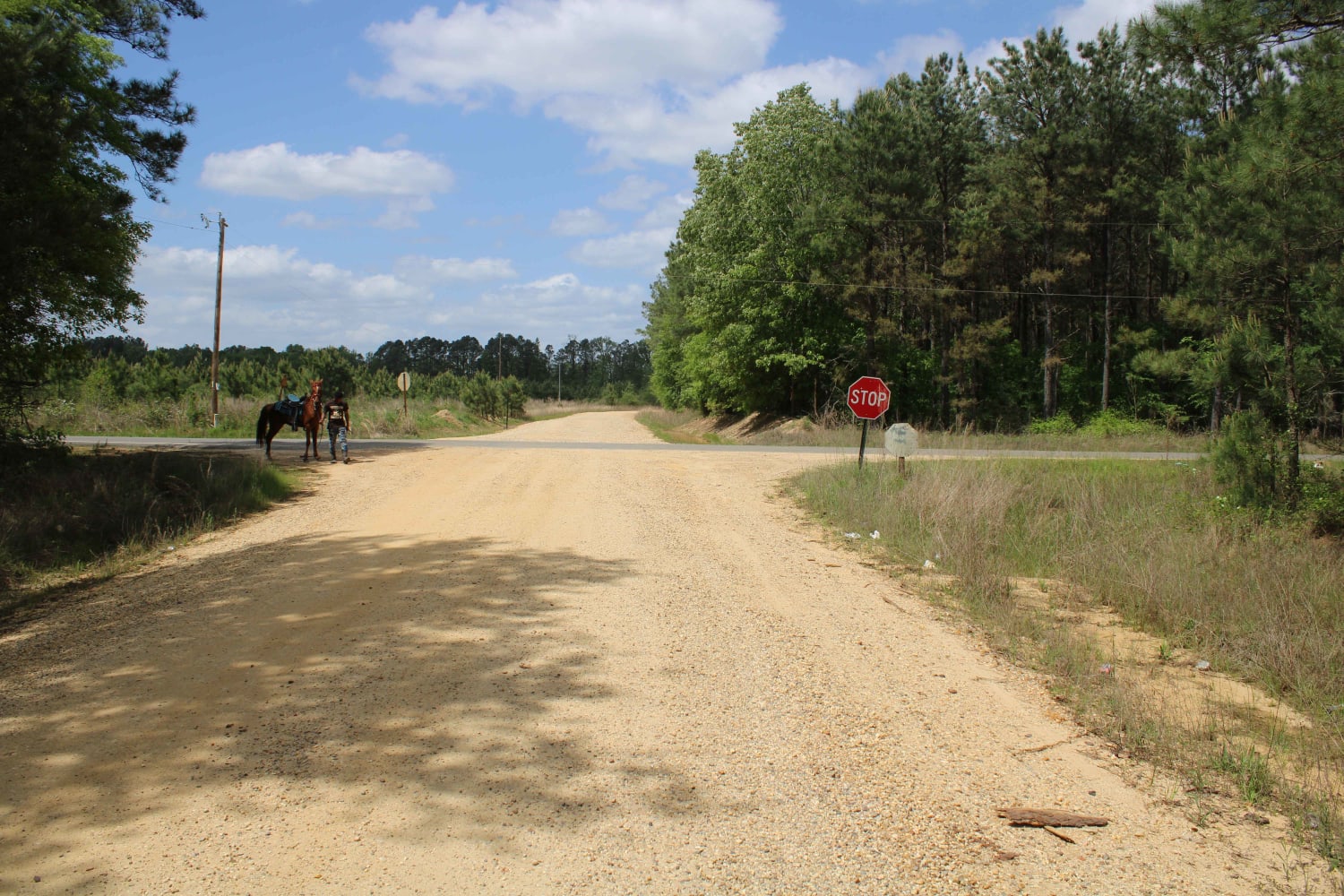
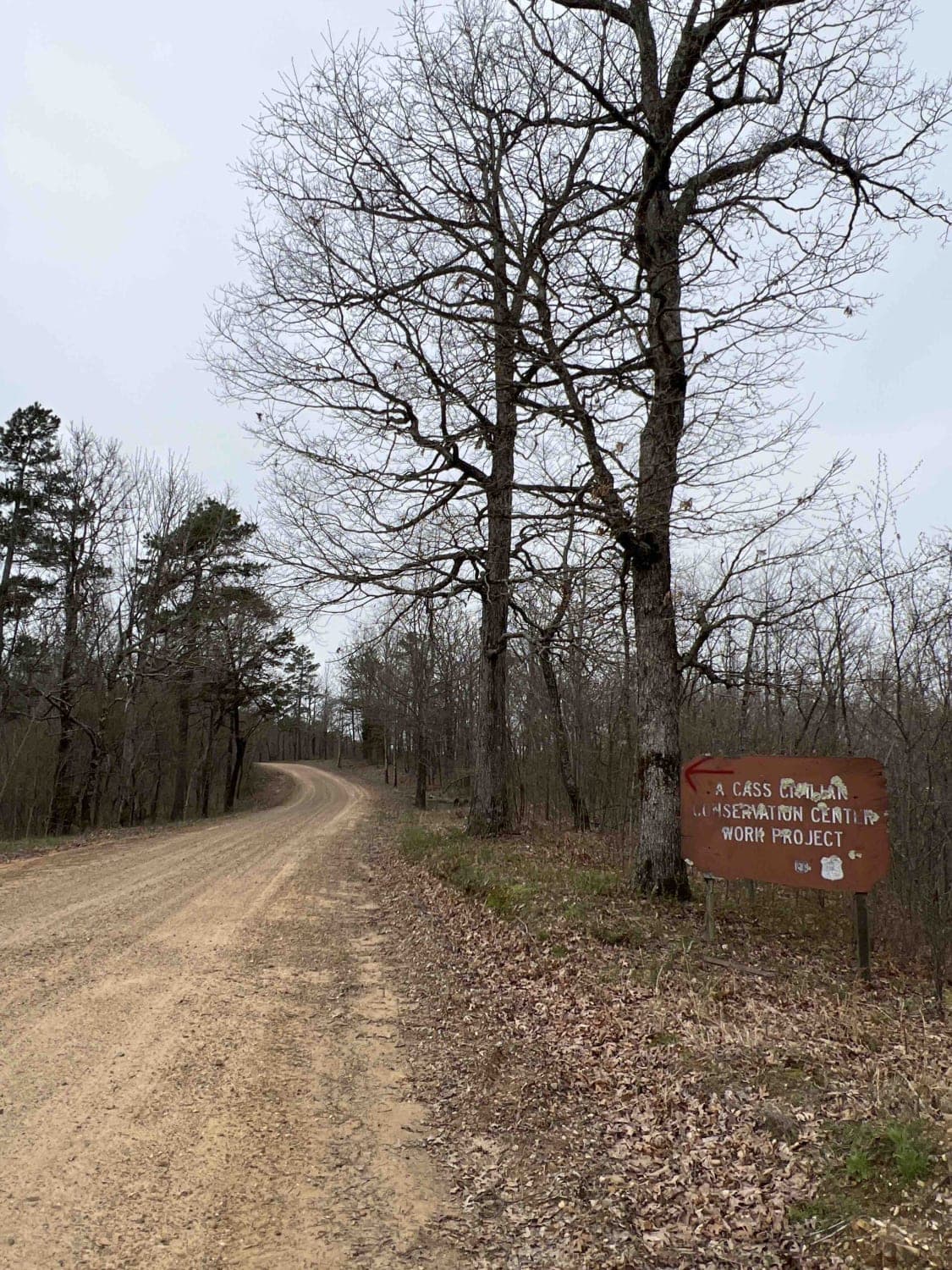
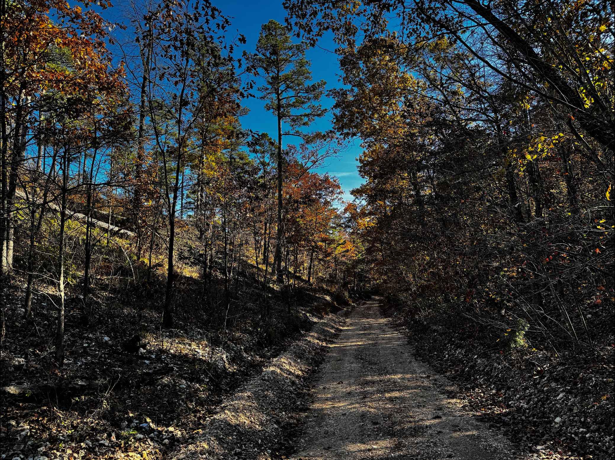
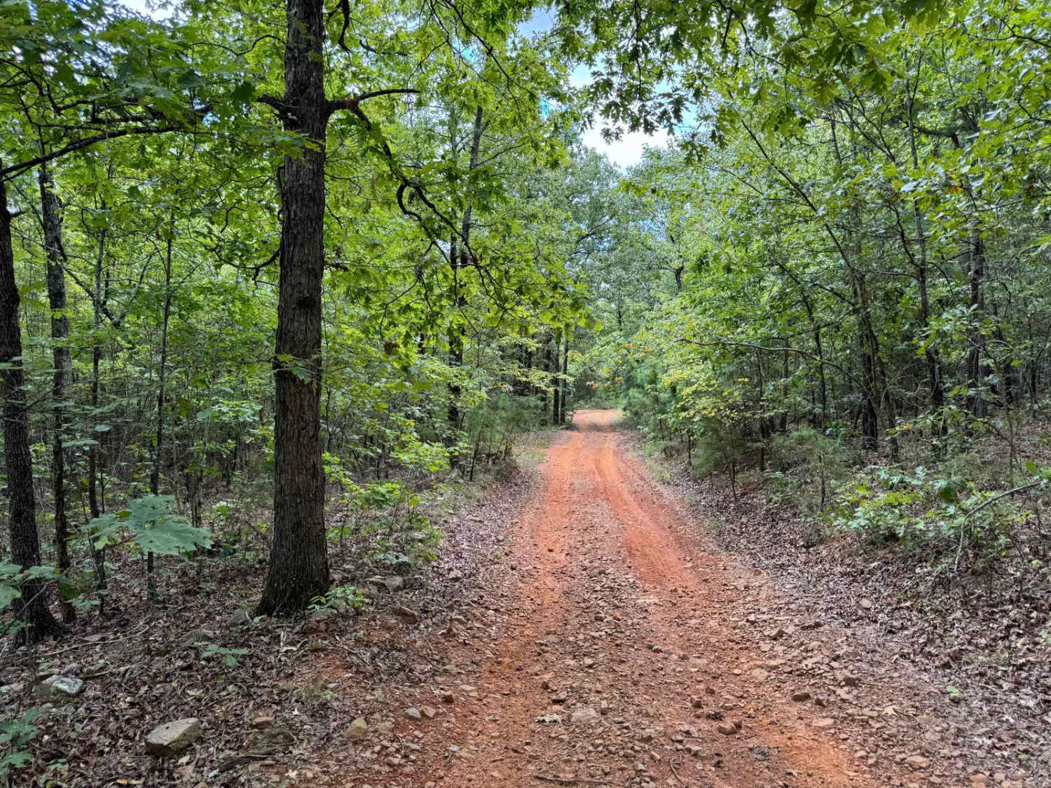
Trail Overview
This trail contains pavement, dirt, and gravel. It leaves the Felsenthal National Wildlife Refuge Lock and Dam access area and ends at Moro State Park. This is the final section of the TrailHawk Loop. This section can have messy areas when wet. Watch for wildlife and logging trucks in some areas. This section makes up the left side of the Hawk looking at this route on the map.
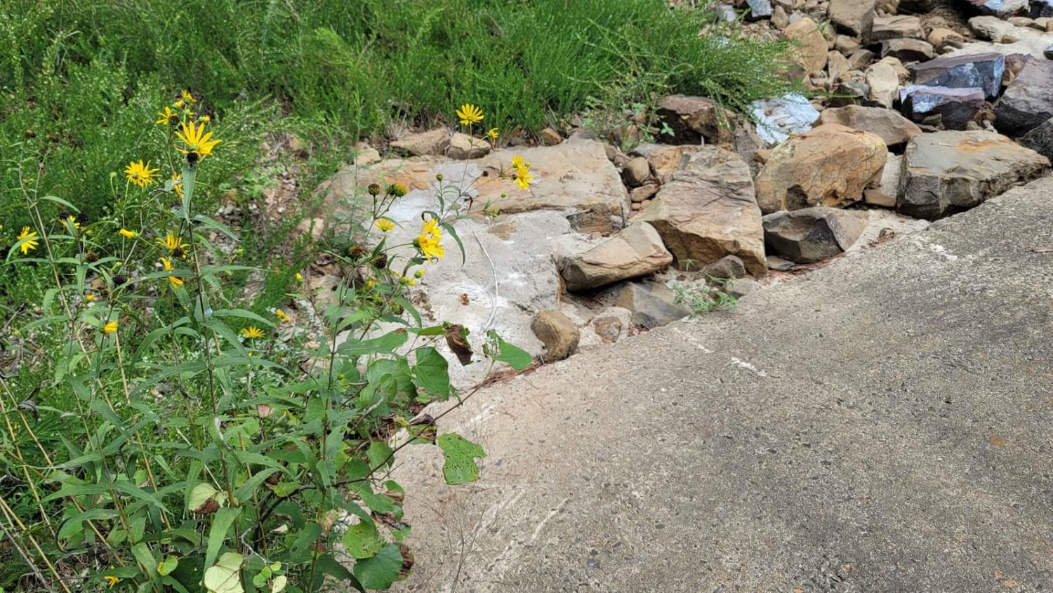
Photos of The Arkansas Overland Route - TrailHawk Loop - Section 27
Difficulty
Gravel and dirt that can be messy when wet. Some rough areas.
Status Reports
The Arkansas Overland Route - TrailHawk Loop - Section 27 can be accessed by the following ride types:
- High-Clearance 4x4
- SUV
The Arkansas Overland Route - TrailHawk Loop - Section 27 Map
Popular Trails
Potato Knob 1510
WMA Road 1245
The onX Offroad Difference
onX Offroad combines trail photos, descriptions, difficulty ratings, width restrictions, seasonality, and more in a user-friendly interface. Available on all devices, with offline access and full compatibility with CarPlay and Android Auto. Discover what you’re missing today!