Buckley - Dubbonet Connector
Total Miles
1.1
Technical Rating
Best Time
Spring, Summer, Fall
Trail Type
Full-Width Road
Accessible By
Trail Overview
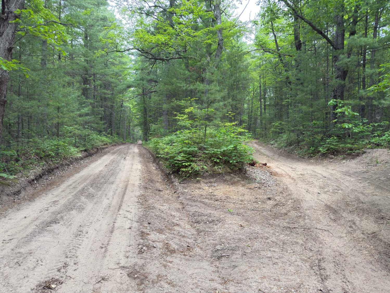
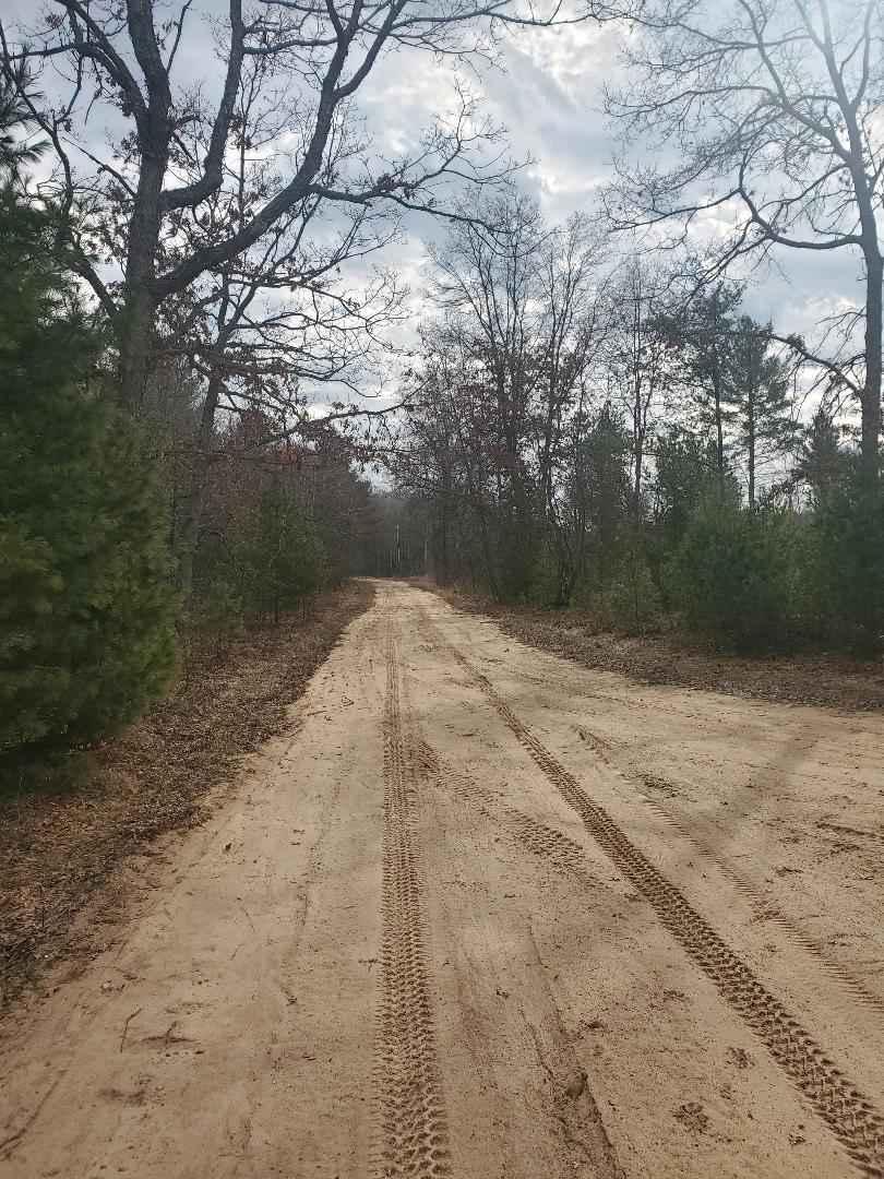
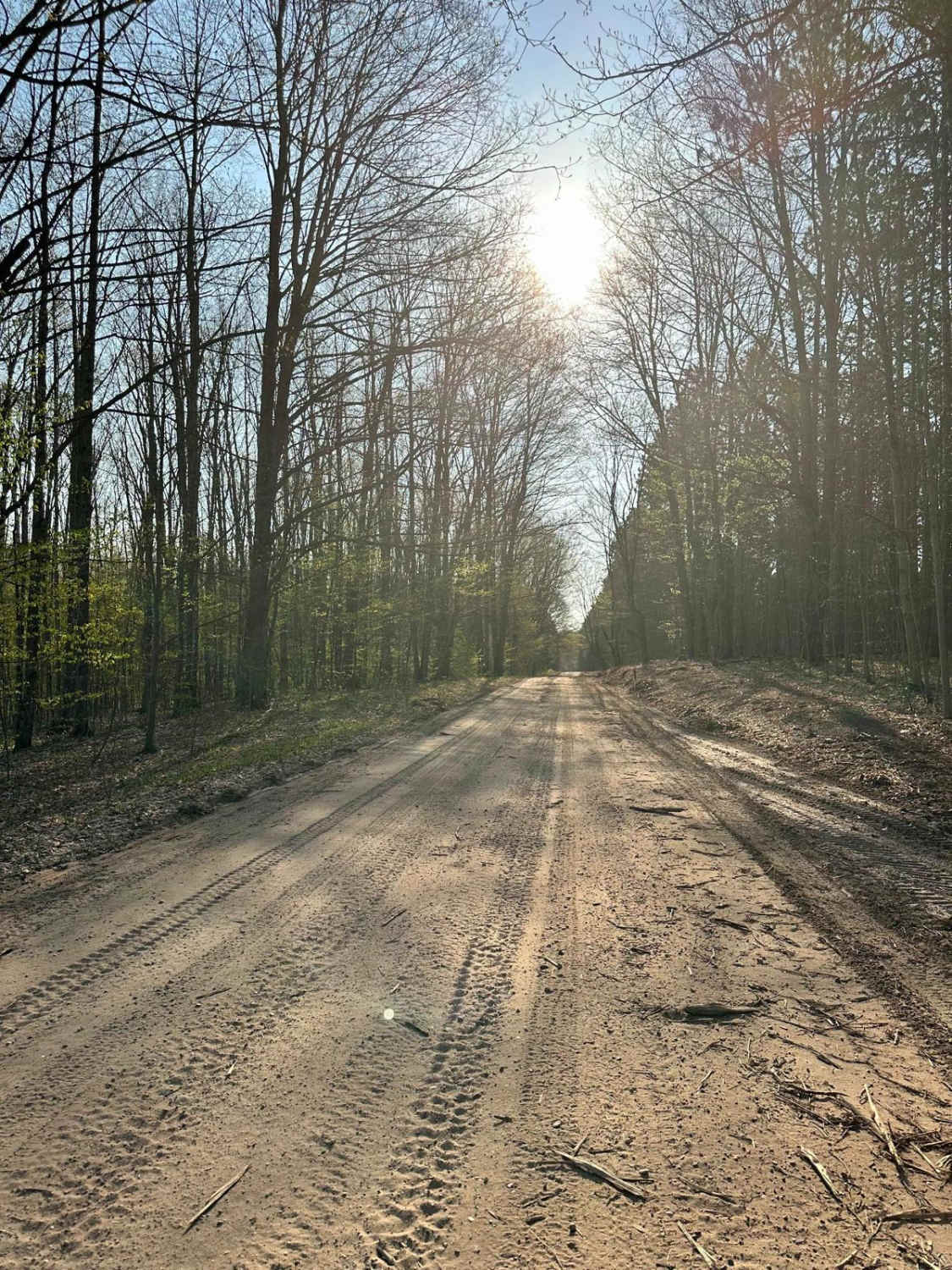
This trail connects the end of Buckley Rd to the Lake Dubonnet Trail, running along the north side of Lake Dubbonet. It is a single vehicle wide with a packed dirt surface. The roadway is relatively clear without any significant obstacles. Toward the north end of the trail, it will split into two sections - either way will get you to Lake Dubbonet Trail. Be careful of cyclists, runners, and hikers using the several single-track trails that snake through this area.
Photos of Buckley - Dubbonet Connector

Difficulty
The trail is typical pack dirt. It is a single vehicle wide and does not contain any significant obstacles.
Status Reports
Buckley - Dubbonet Connector can be accessed by the following ride types:
- High-Clearance 4x4
- SUV
- SxS (60")
- ATV (50")
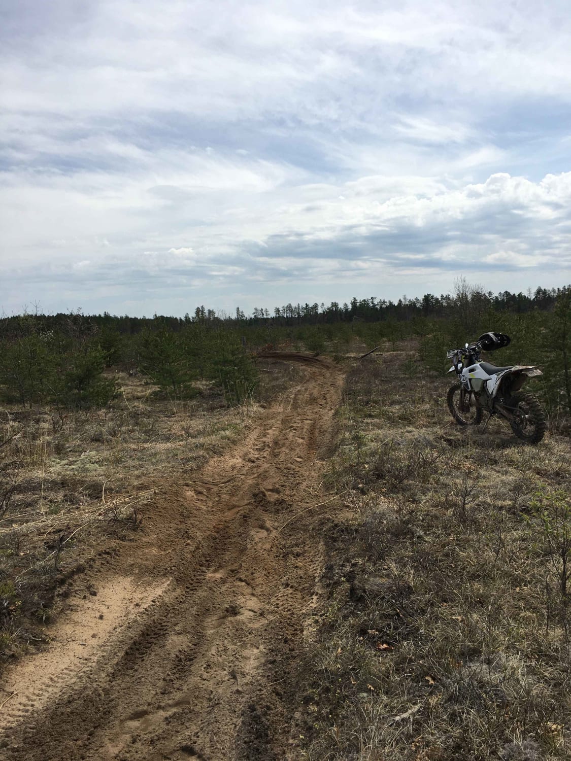
- Dirt Bike
Buckley - Dubbonet Connector Map
Popular Trails
Atlanta Trail's - Center Loop
Cadillac Area ORV/OHV Scenic Ride - Part 5

High Rollway Trail (4-3/4)
The onX Offroad Difference
onX Offroad combines trail photos, descriptions, difficulty ratings, width restrictions, seasonality, and more in a user-friendly interface. Available on all devices, with offline access and full compatibility with CarPlay and Android Auto. Discover what you’re missing today!