91017B
Total Miles
0.8
Technical Rating
Best Time
Spring, Summer, Fall, Winter
Trail Type
Full-Width Road
Accessible By
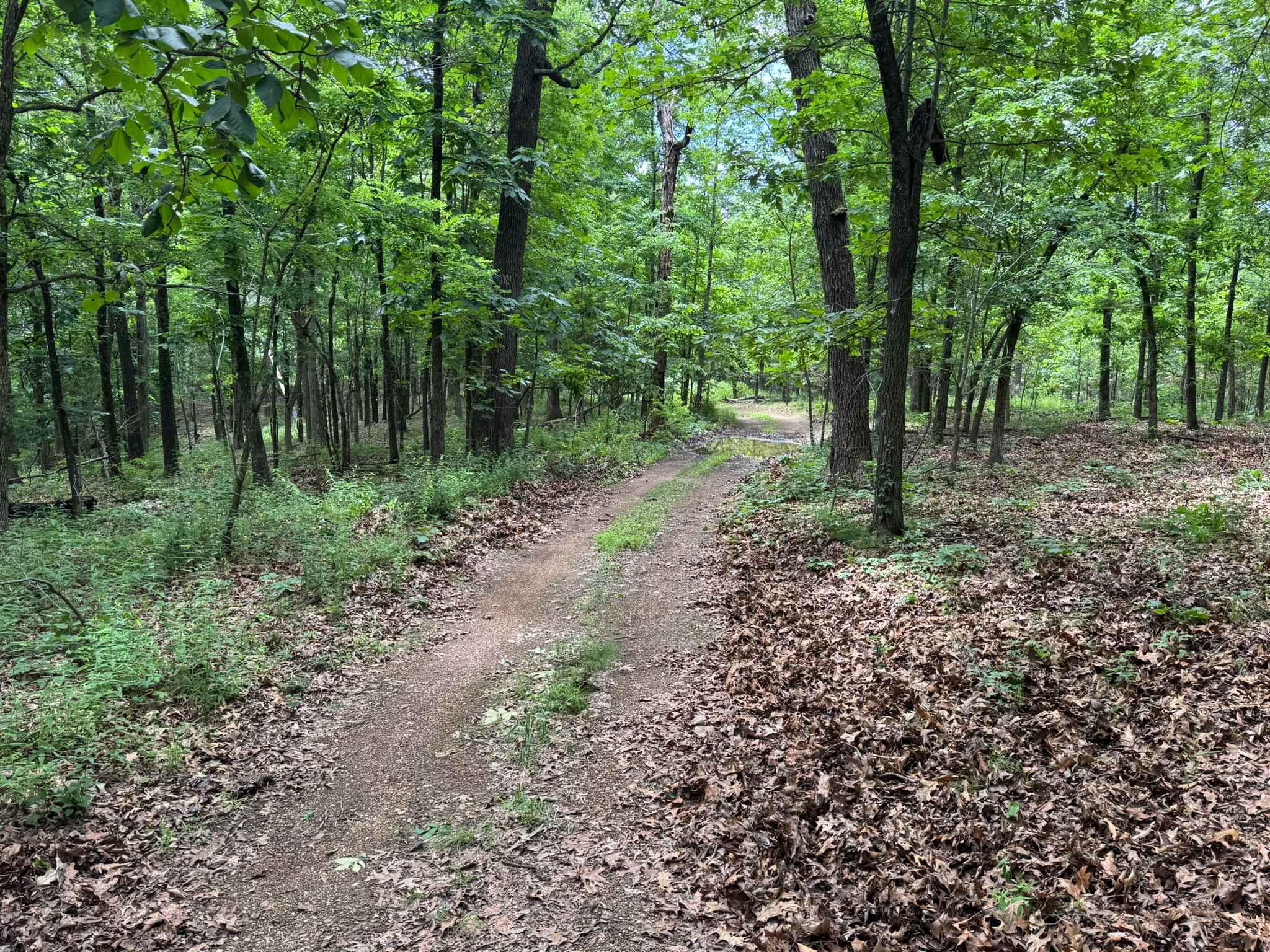
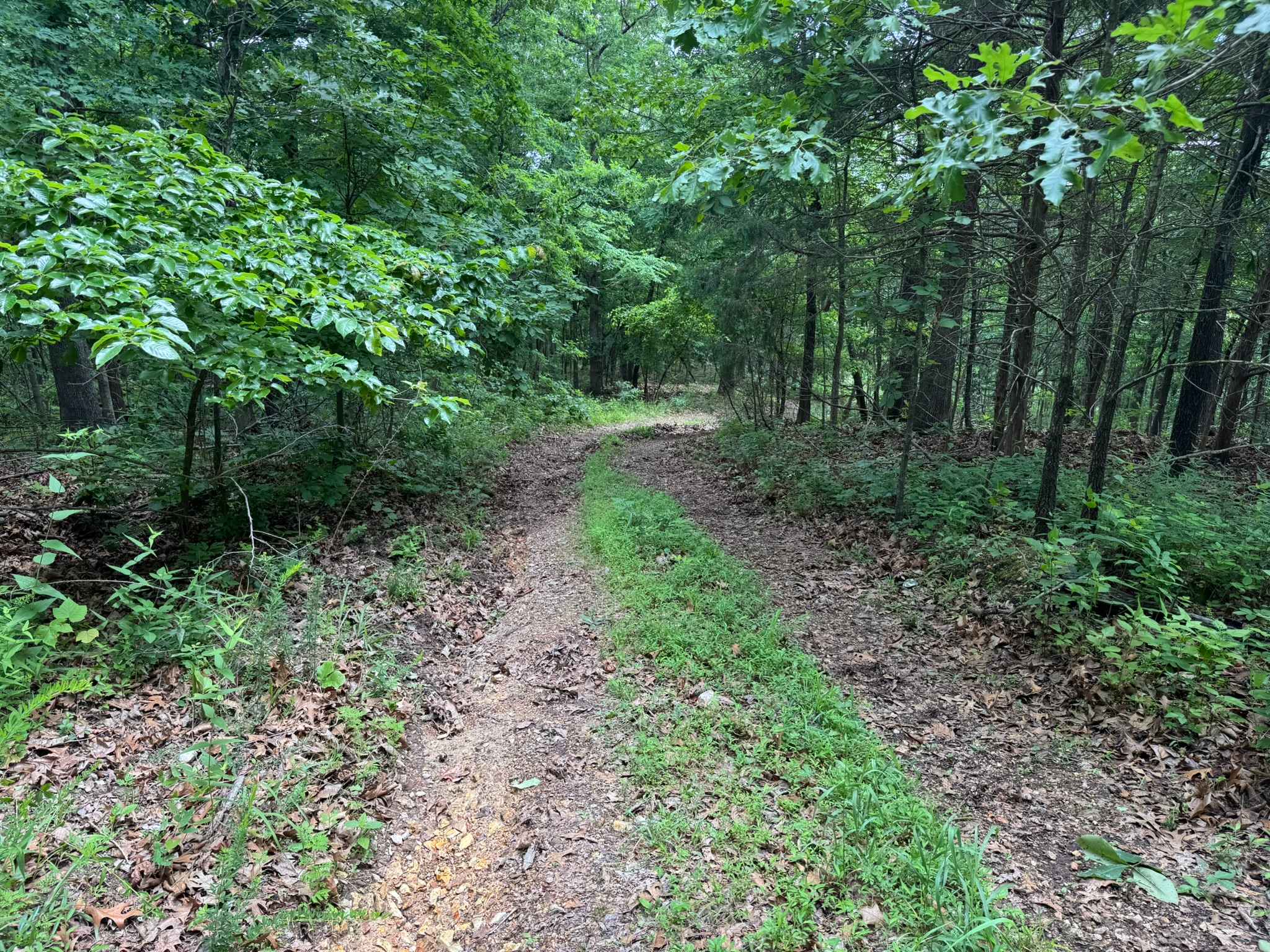
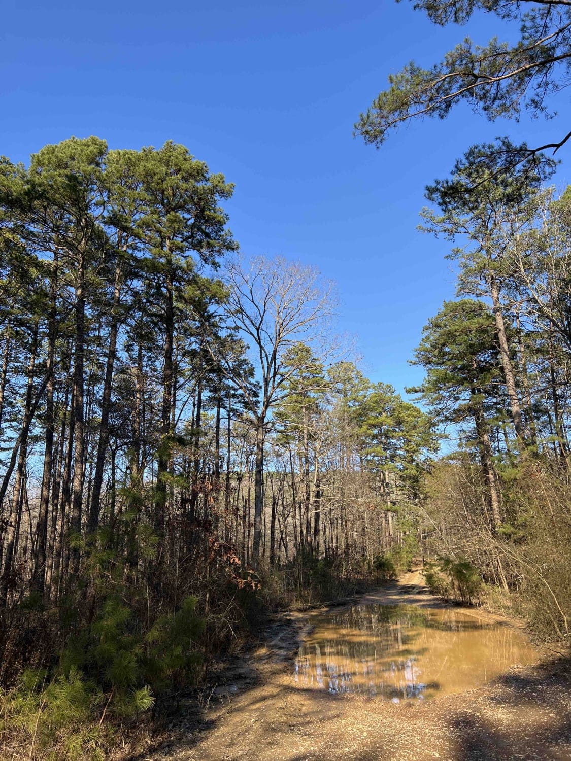
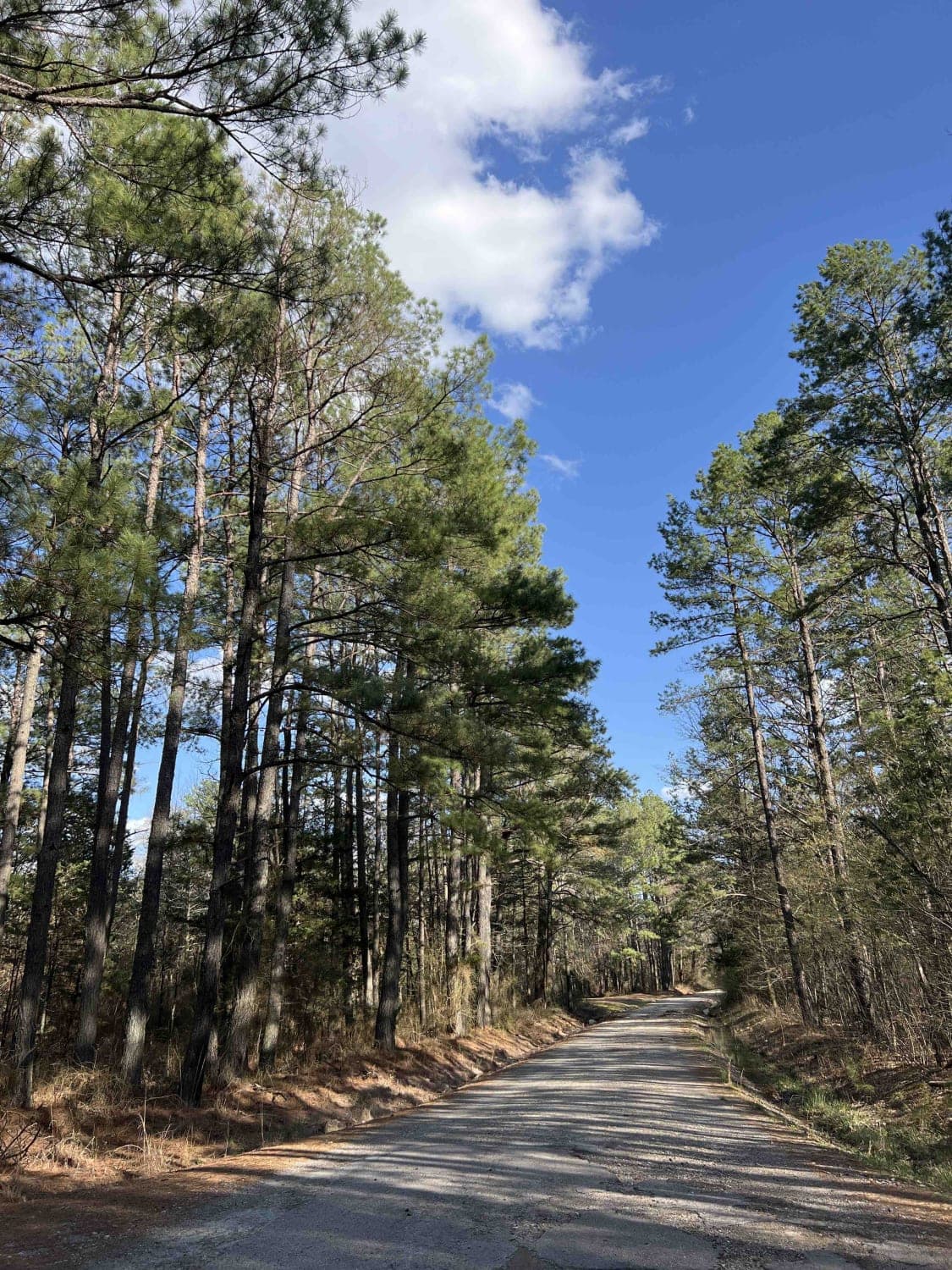
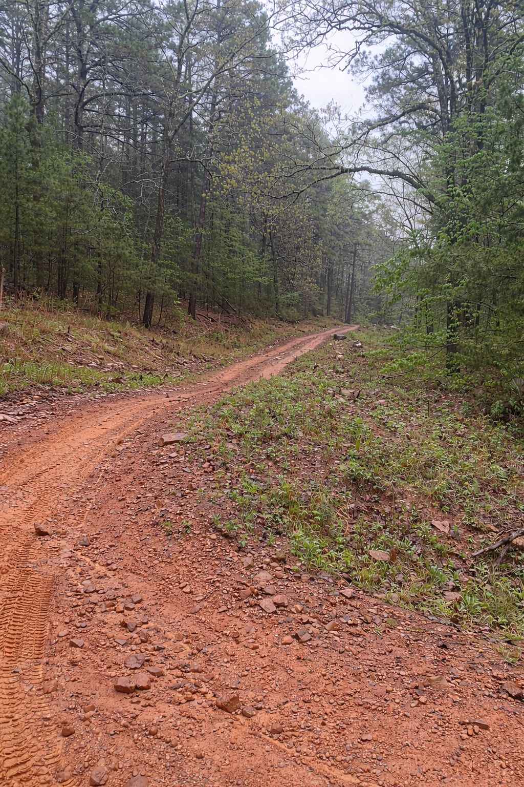
Trail Overview
This route begins with direct access off Highway 341 and quickly transitions into a lightly maintained forest trail winding through dense pine and hardwood forest. Along the route, drivers will pass through open grassy meadows before re-entering tighter wooded sections with narrow corridors and overgrown vegetation. The trail surface varies between gravel and dirt with noticeable water erosion creating uneven sections and a rougher ride depending on suspension setup and tire choice. Some areas show shallow washouts from runoff, while low-hanging branches and brush can cause pinstriping or light paint scratches, especially on wider vehicles.
Photos of 91017B
Difficulty
This trail features uneven terrain caused by water erosion, tighter wooded sections, and overgrown vegetation that can lead to pinstriping on wider vehicles.
History
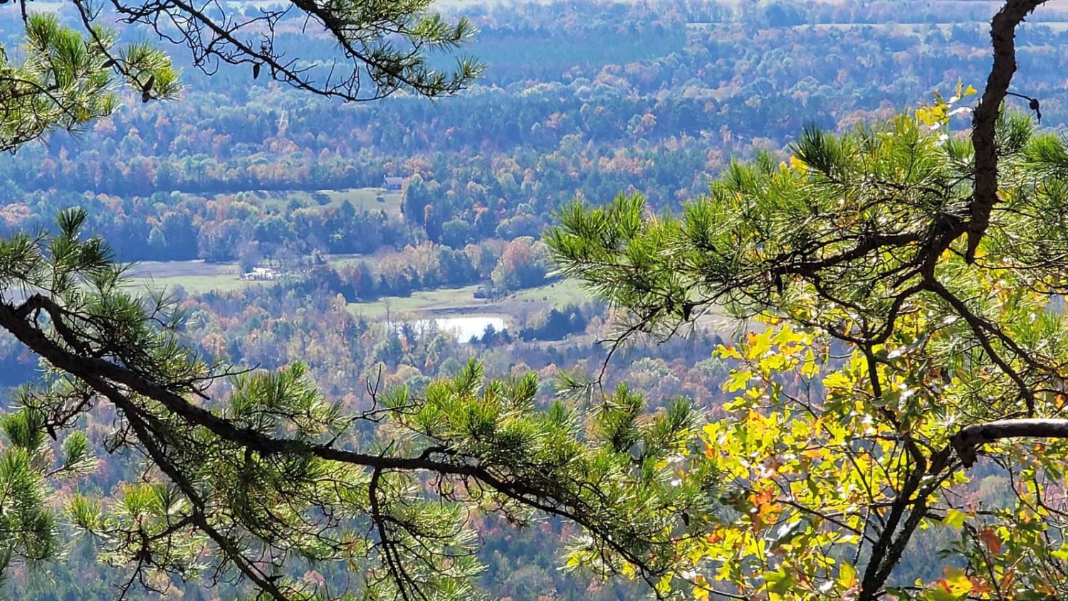
The roads throughout this region were originally established for logging, mining, homestead access, and fire management long before recreational off-roading became popular. Portions of the surrounding Buffalo National River area contain deep ties to Ozark pioneer history, including old settlements, abandoned homesites, family cemeteries, and former mining operations dating back to the late 1800s and early 1900s. The nearby Rush Historic District was once one of the largest zinc mining communities in Arkansas during the early 20th century. Many of the ridge roads and hollows drivers travel today follow paths historically used by miners, loggers, ranchers, and local residents navigating the rugged Ozark terrain long before modern highways existed.
Status Reports
91017B can be accessed by the following ride types:
- High-Clearance 4x4
- SUV
- SxS (60")
- ATV (50")
- Dirt Bike
91017B Map
Popular Trails
Wildcat Mountain 179
Poteau West
The onX Offroad Difference
onX Offroad combines trail photos, descriptions, difficulty ratings, width restrictions, seasonality, and more in a user-friendly interface. Available on all devices, with offline access and full compatibility with CarPlay and Android Auto. Discover what you’re missing today!