Gooseneck Trail
Total Miles
2.7
Technical Rating
Best Time
Spring, Summer, Fall, Winter
Trail Type
Full-Width Road
Accessible By
Trail Overview
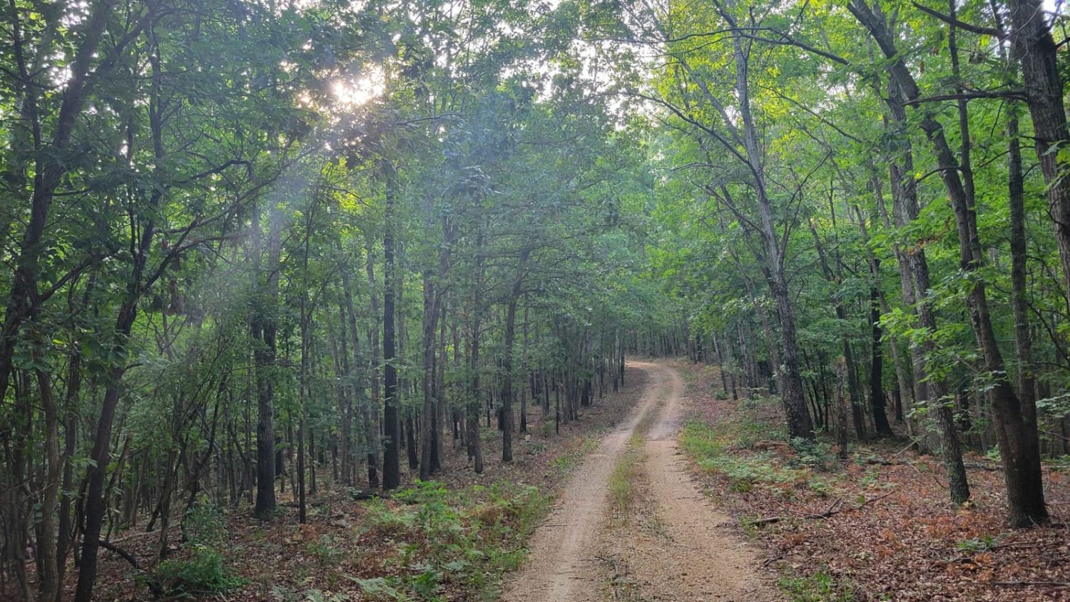
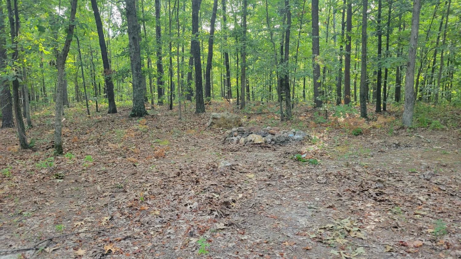
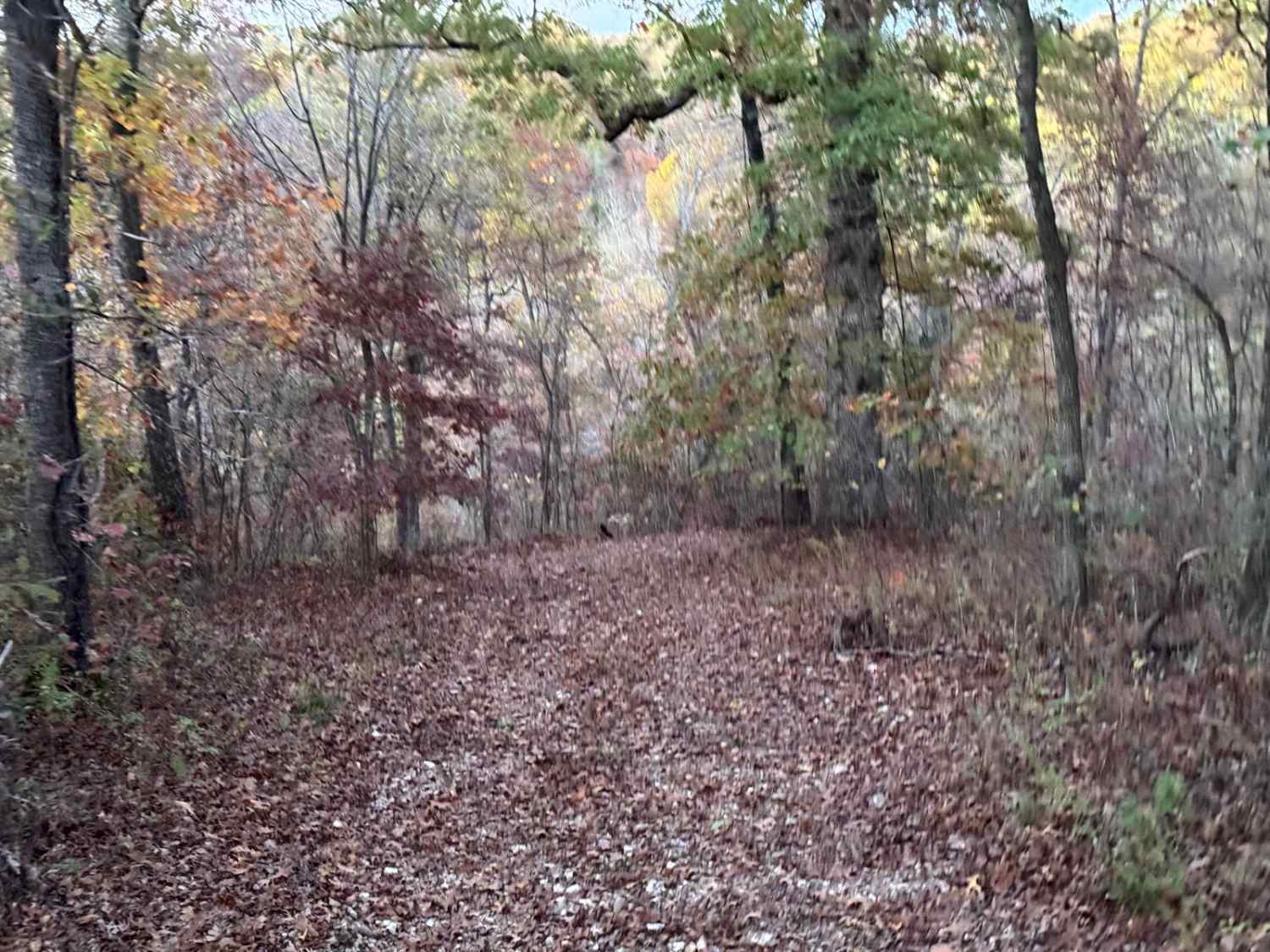
The Gooseneck Trail runs East to West through Mark Twain National Forest in Missouri. This trail offers 2 designated primitive campsites with a fire ring. One is located at the intersection of FR4799, and the other is at the east end of the trail. There are plenty of pull-off locations in case of traffic. Fallen trees blocking the trail are likely. This forest has spotty service, so be sure to download offline maps.
Photos of Gooseneck Trail
Difficulty
Most stock SUV's will be suitable for this trail.
Status Reports
Gooseneck Trail can be accessed by the following ride types:
- High-Clearance 4x4
- SUV
- SxS (60")
Gooseneck Trail Map
Popular Trails

Timber Lane Spur B - FS 2514B

Jagermeister

Yellow 93
The onX Offroad Difference
onX Offroad combines trail photos, descriptions, difficulty ratings, width restrictions, seasonality, and more in a user-friendly interface. Available on all devices, with offline access and full compatibility with CarPlay and Android Auto. Discover what you’re missing today!