Cave Spoon
Total Miles
3.7
Technical Rating
Best Time
Spring, Summer, Fall, Winter
Trail Type
Full-Width Road
Accessible By
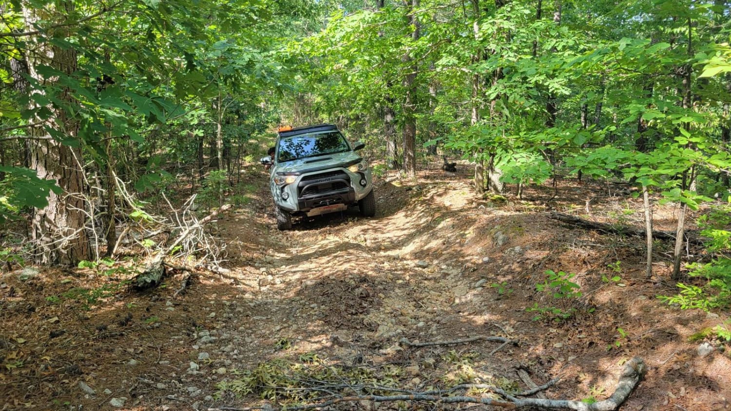
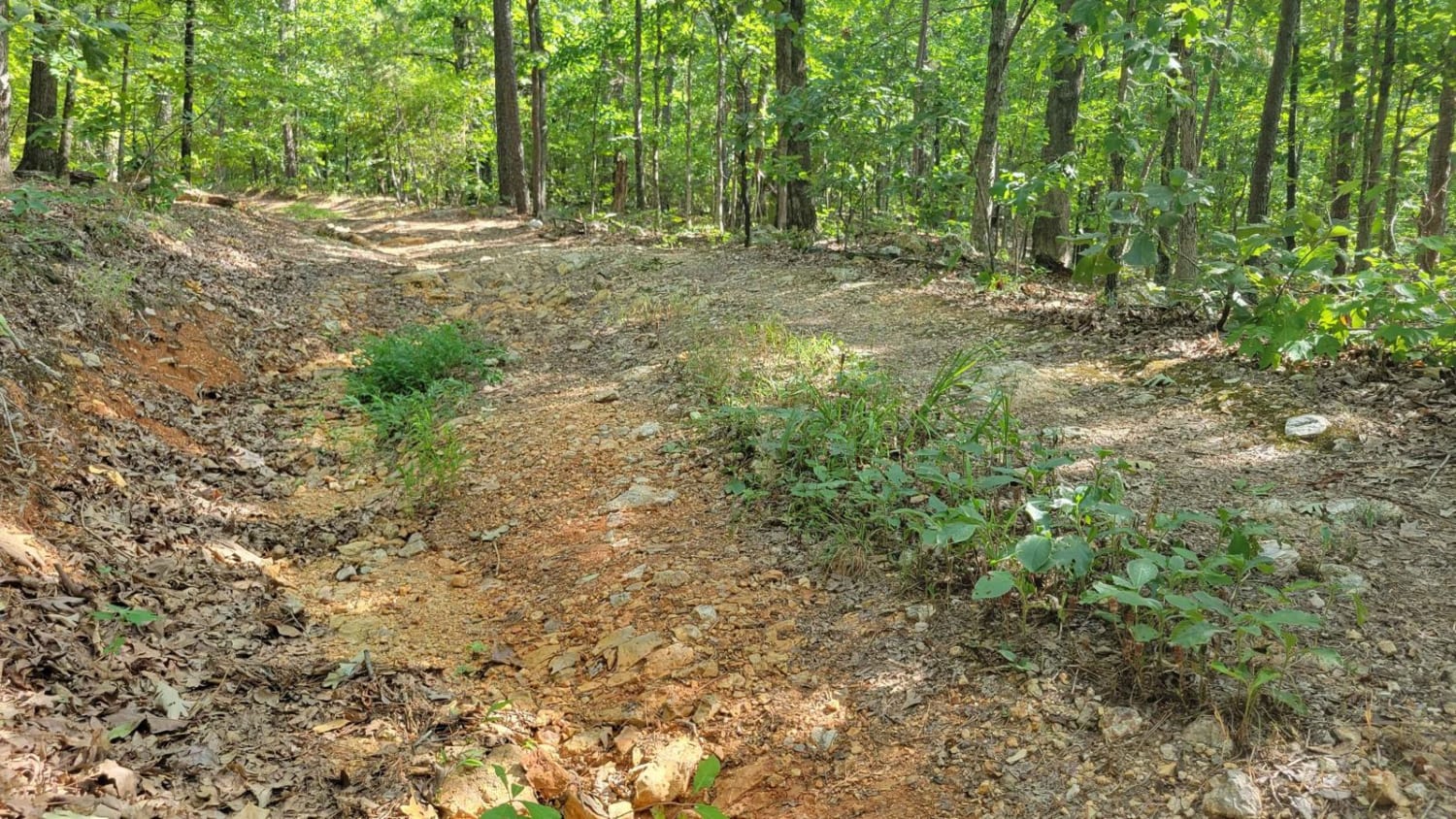
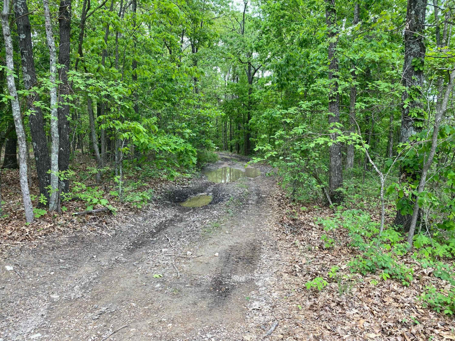
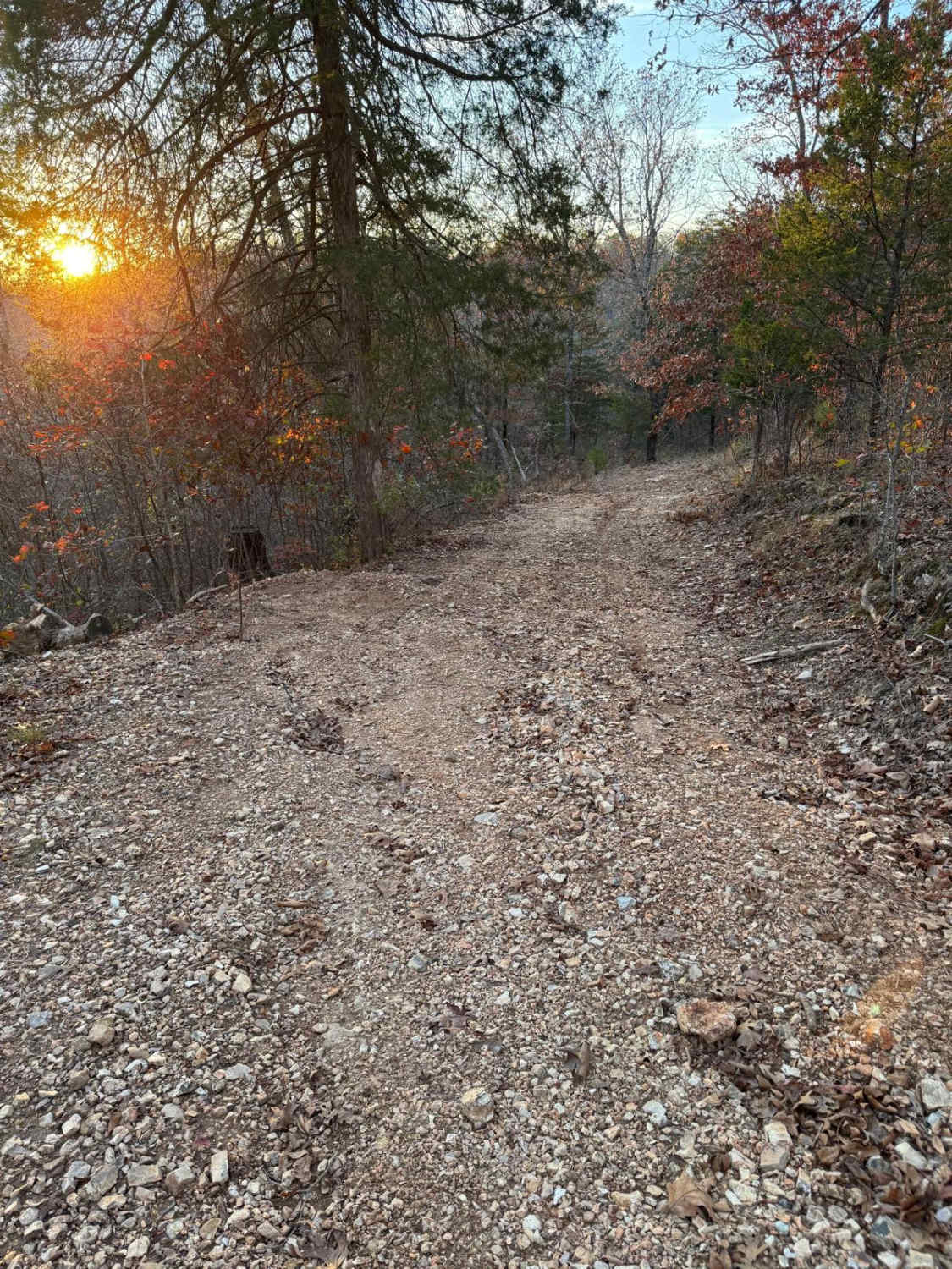
Trail Overview
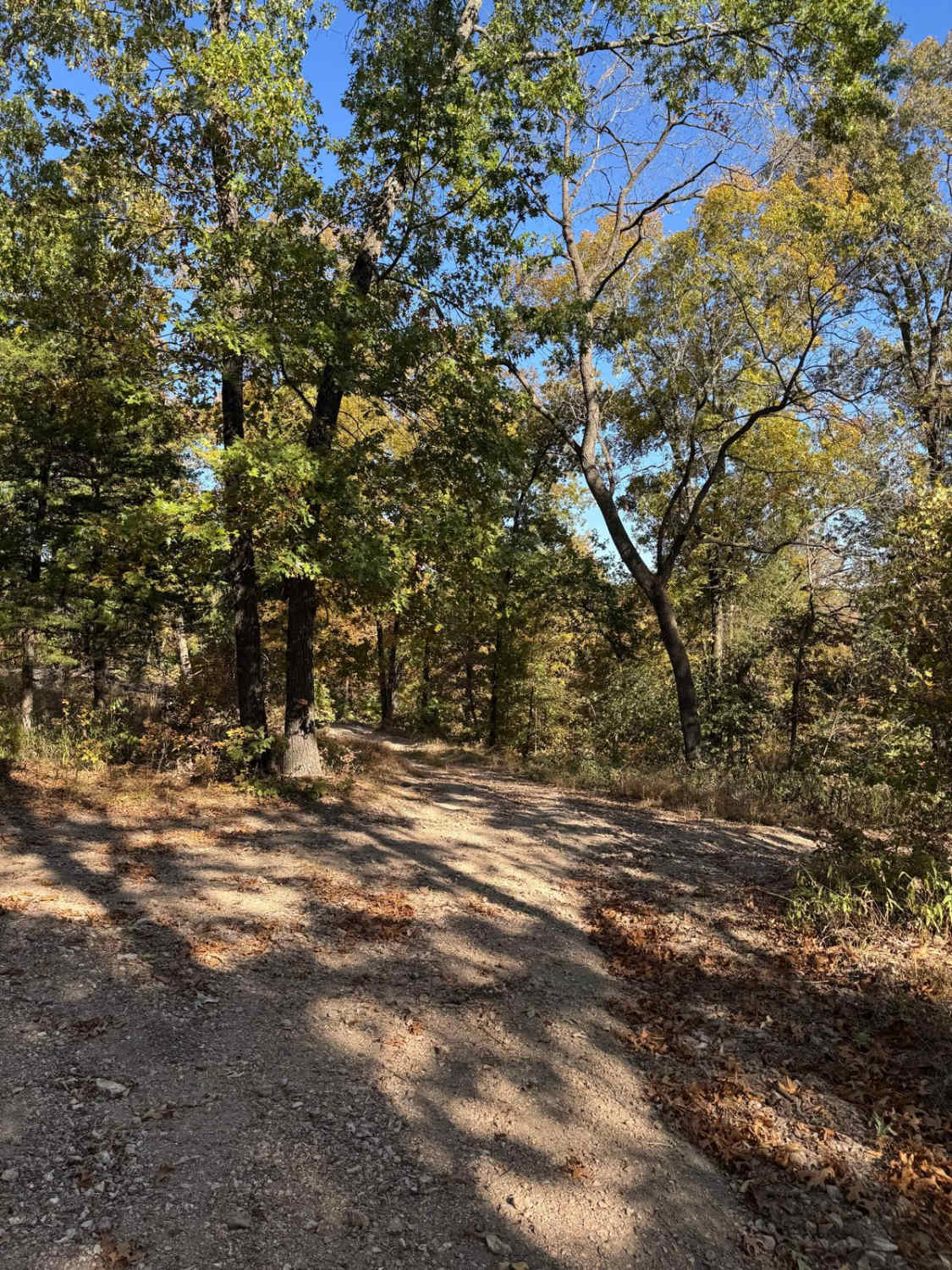
The Cave Spoon runs North to South through Mark Twain National Forest in Missouri. This trail offers dispersed campsites if chosen with creativity. There are plenty of pull-off locations in case of traffic. Fallen trees blocking the trail are likely, as well as pinstripes. This forest has spotty service, so be sure to download offline maps.
Photos of Cave Spoon
Difficulty
The space between Cave Fork and Gooseneck Ridge is rocky and washed out, which could require extra ground clearance.
Status Reports
Cave Spoon can be accessed by the following ride types:
- High-Clearance 4x4
- SUV
- SxS (60")
Cave Spoon Map
Popular Trails
Yellow 71

Klepzig Mill - SCR 522
The onX Offroad Difference
onX Offroad combines trail photos, descriptions, difficulty ratings, width restrictions, seasonality, and more in a user-friendly interface. Available on all devices, with offline access and full compatibility with CarPlay and Android Auto. Discover what you’re missing today!