Mount Defiance - NF 2821000
Total Miles
3.8
Technical Rating
Best Time
Summer, Fall
Trail Type
Full-Width Road
Accessible By
Trail Overview
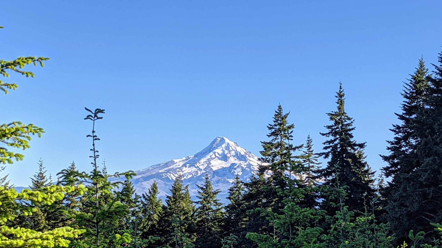
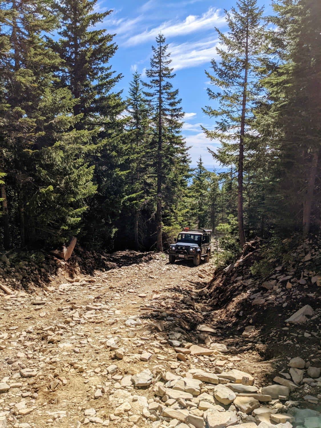
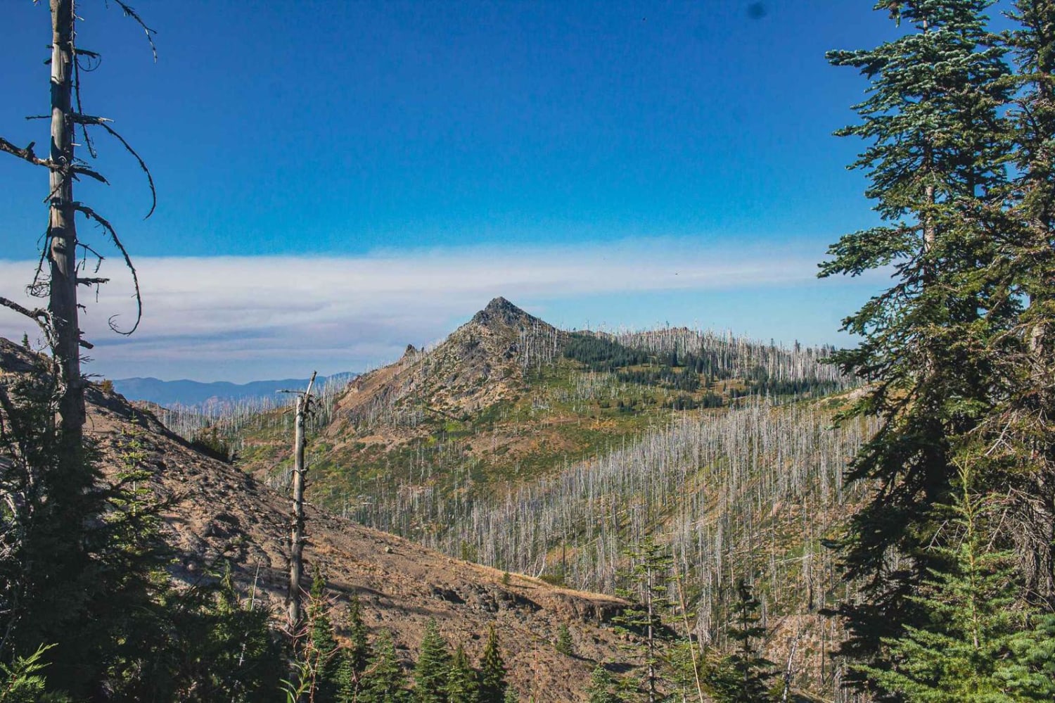
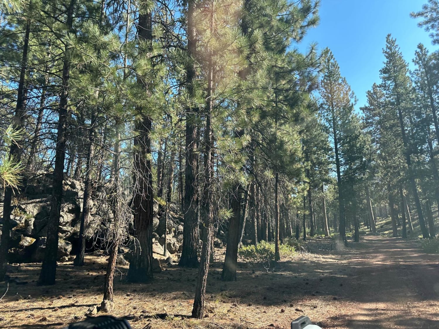
Mount Defiance road scrambles 1600'+ out of the hills West of Hood River, Oregon to the summit of Mount Defiance and the edge of the Mark O Hatfield Wilderness. The summit tops out at just under 5,000'. Once the gravel forest service road passes 4,000', the road bed quickly turns to a loose shale and the ascent gets steep. Use of 4Lo is recommended to control traction on the climb and control speed on the descent. The views of Mount Hood, Mount Saint Helens, Mount Adams and Mount Rainier from the summit are spectacular. The summit can be busy with hikers in the summer months. This road is snowbound and not maintained in the winter months.
Photos of Mount Defiance - NF 2821000
Difficulty
steep climb / descent on loose rock
Status Reports
Mount Defiance - NF 2821000 can be accessed by the following ride types:
- High-Clearance 4x4
- SUV
- SxS (60")
- ATV (50")
- Dirt Bike
Mount Defiance - NF 2821000 Map
Popular Trails
Buckhorn Loop
Sisters to Trout Creek Butte Trails

The onX Offroad Difference
onX Offroad combines trail photos, descriptions, difficulty ratings, width restrictions, seasonality, and more in a user-friendly interface. Available on all devices, with offline access and full compatibility with CarPlay and Android Auto. Discover what you’re missing today!