Crutchers Crossing South
Total Miles
3.4
Technical Rating
Best Time
Fall
Trail Type
Full-Width Road
Accessible By
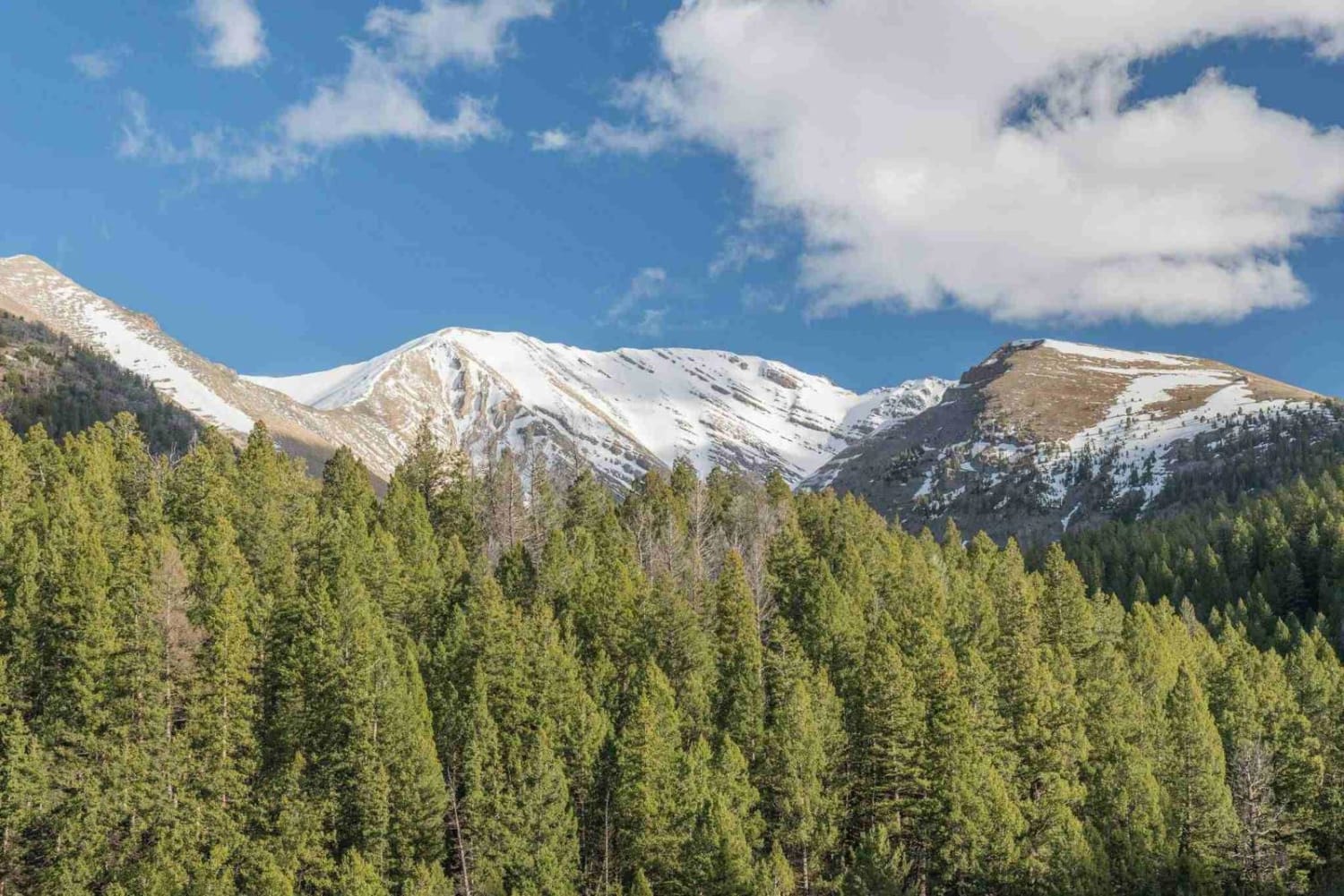
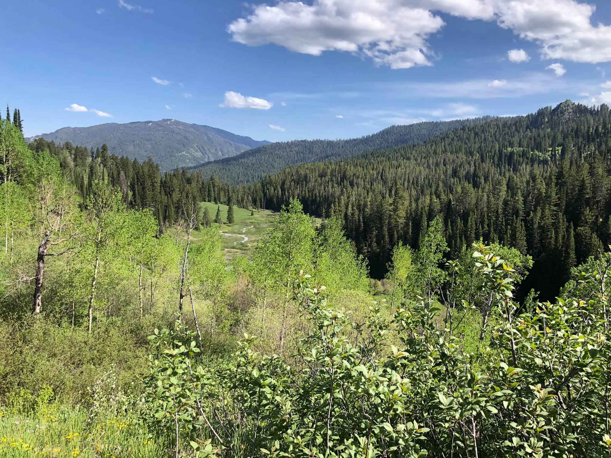
Trail Overview
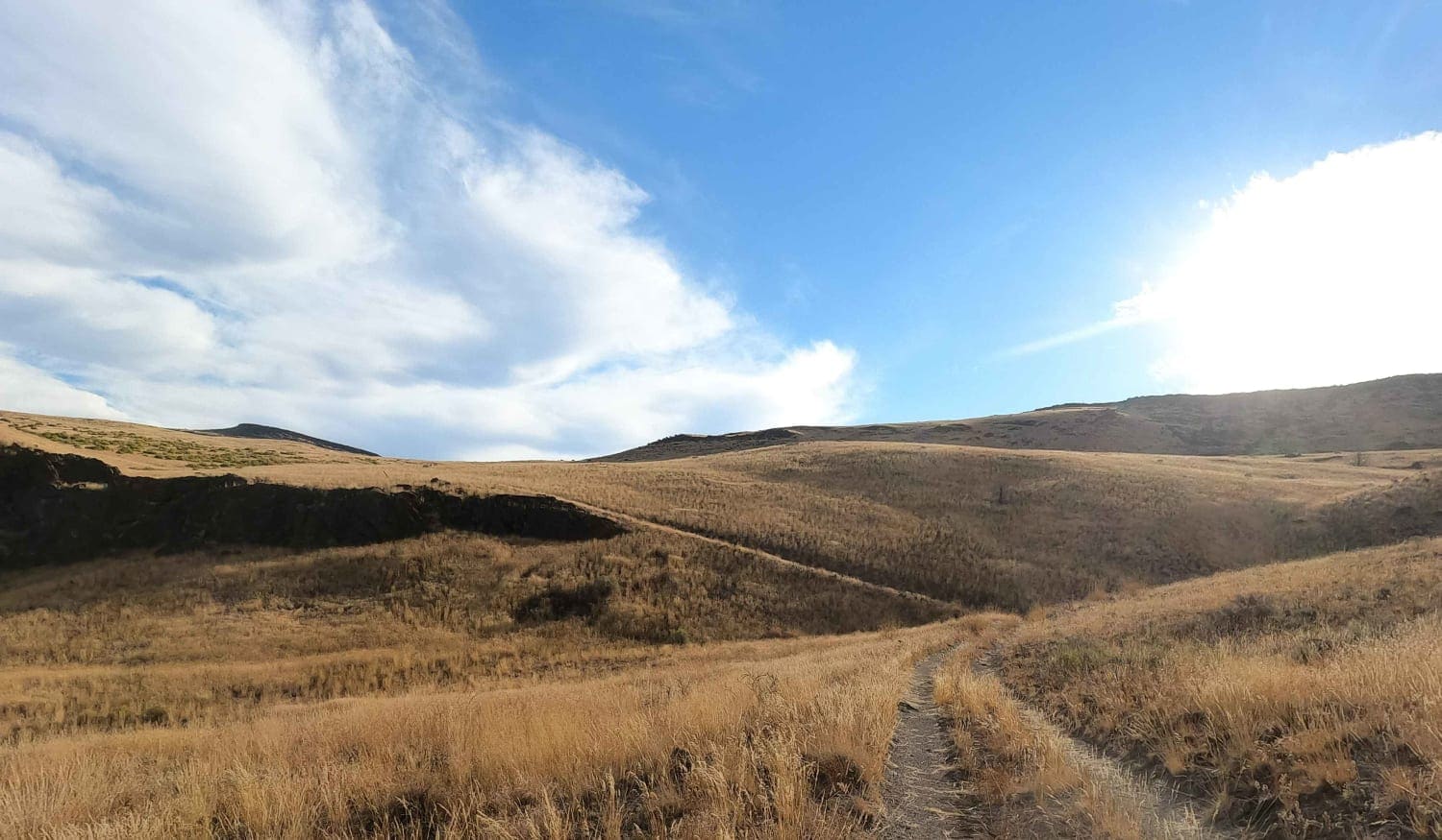
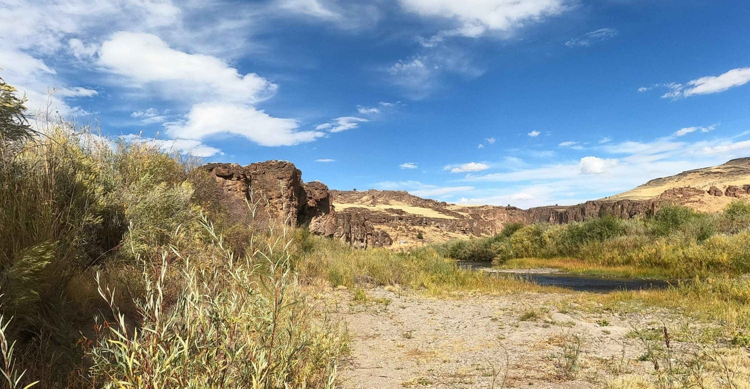
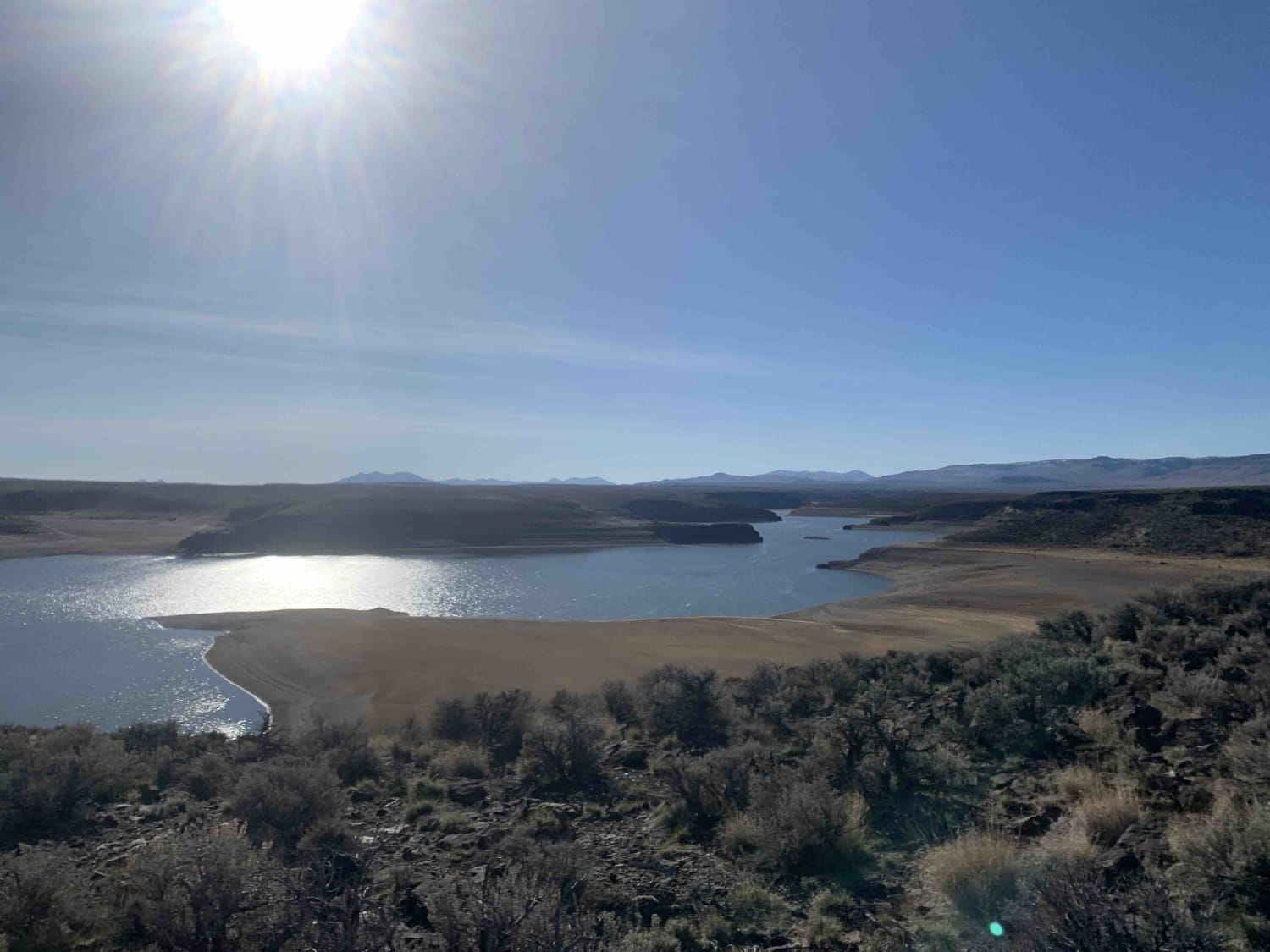
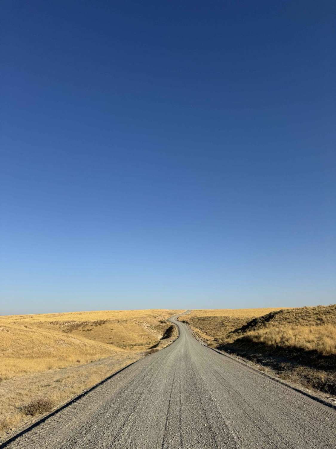
Crutcher's Crossing South starts at the river ford and climbs up the switchbacks on the South side of the canyon and then terminates at the Crutcher's Crossing Cherrystem at a BLM map kiosk. The climb itself is rated a three (3) while the rest of this road is a two (2). The river ford itself is shallow and simple in the fall when water levels are down. In the Spring, the river rafting crowd launches boats here so the water level is likely too high with too much current to cross. There is very little traffic out here. Bring extra fuel, water, and spare tires. There is a high silica content in the dirt in this region. When dry, it's a fine talc dust that gets everywhere and in everything. When wet, it becomes a slippery mess and dries hard on your vehicle like concrete. Be prepared to hike out if traveling in this area during the wet season.
Photos of Crutchers Crossing South
Difficulty
easy rocky climb
Status Reports
Crutchers Crossing South can be accessed by the following ride types:
- High-Clearance 4x4
- SUV
Crutchers Crossing South Map
Popular Trails
Antelope Bay Loop and Lucas Point
Jackalope Flats
Doublespring Pass
Jensen Forest Road
The onX Offroad Difference
onX Offroad combines trail photos, descriptions, difficulty ratings, width restrictions, seasonality, and more in a user-friendly interface. Available on all devices, with offline access and full compatibility with CarPlay and Android Auto. Discover what you’re missing today!