BLM 920
Total Miles
2.6
Technical Rating
Best Time
Winter, Fall, Spring
Trail Type
Full-Width Road
Accessible By
Trail Overview
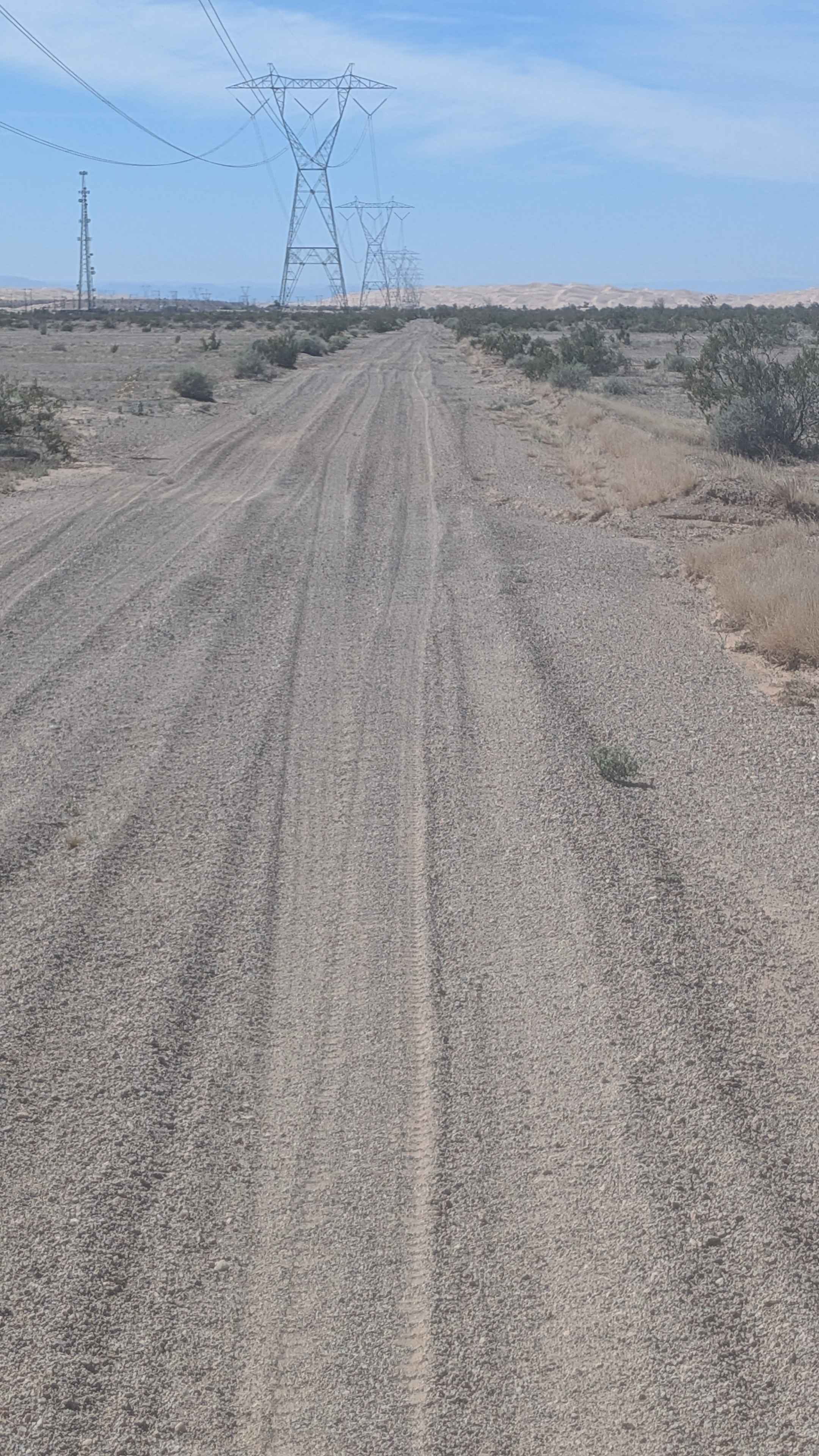
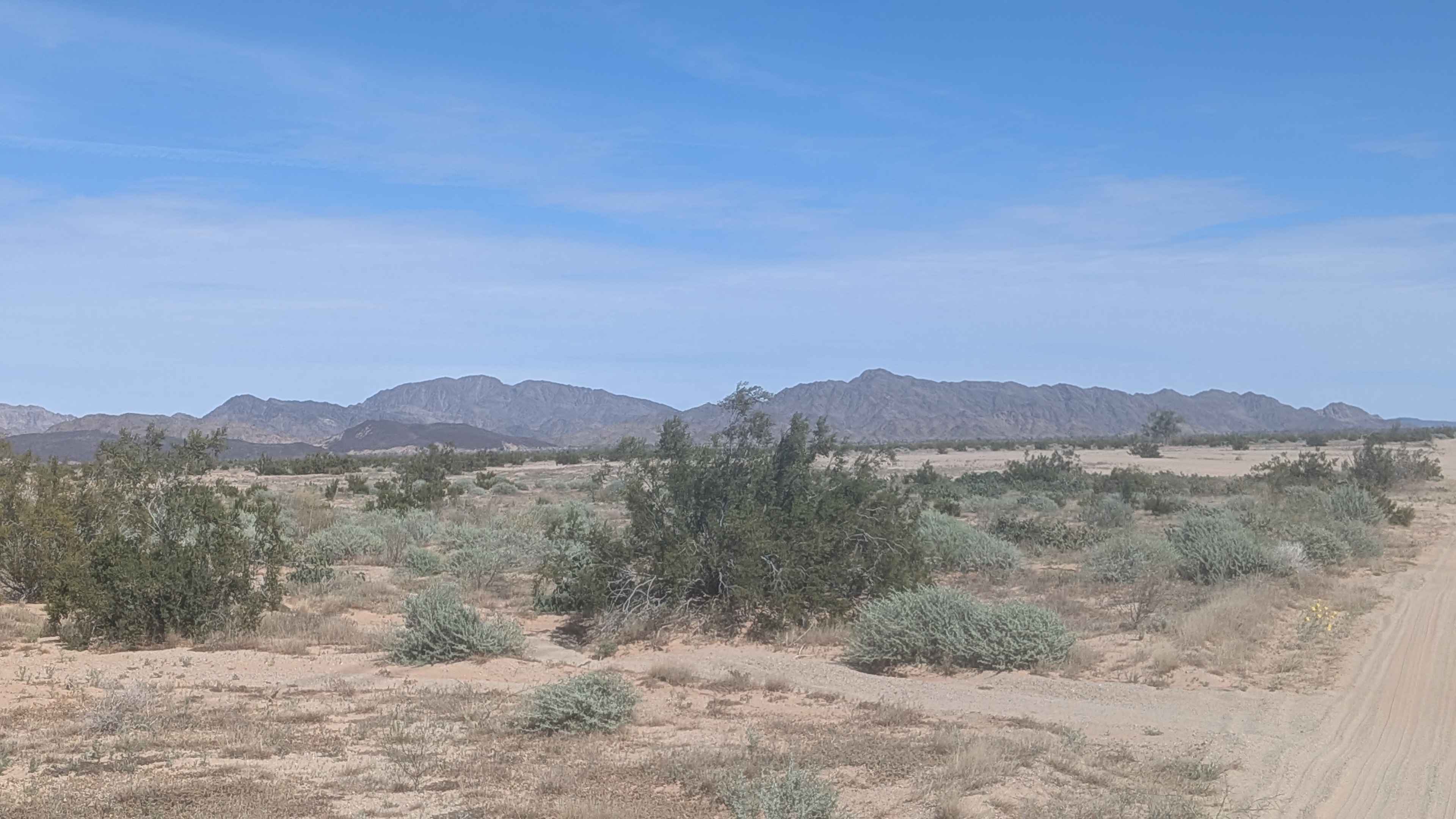
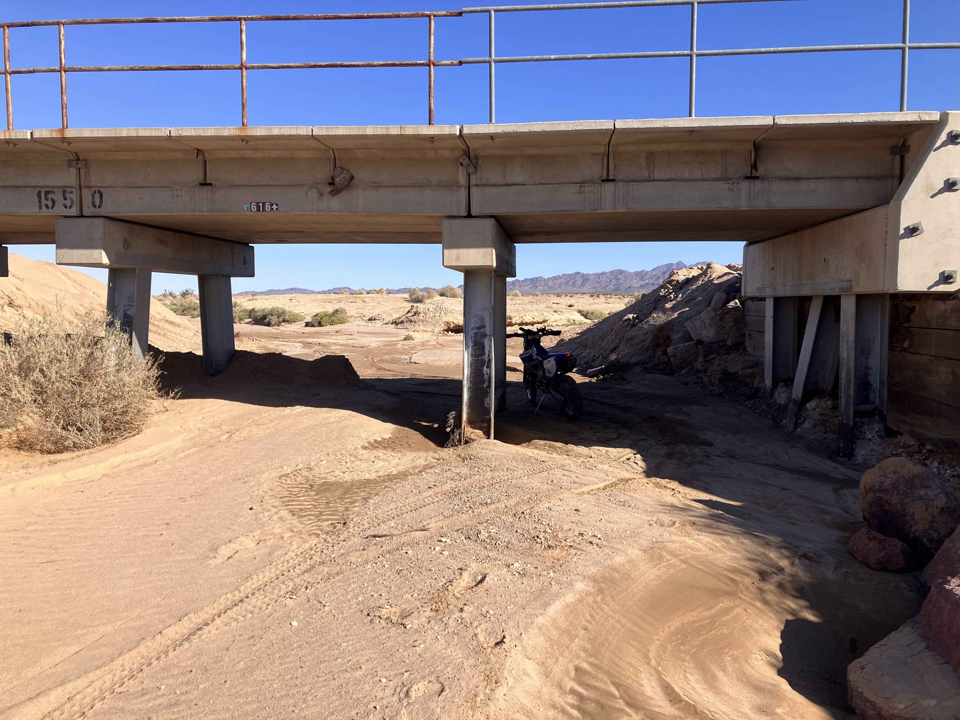
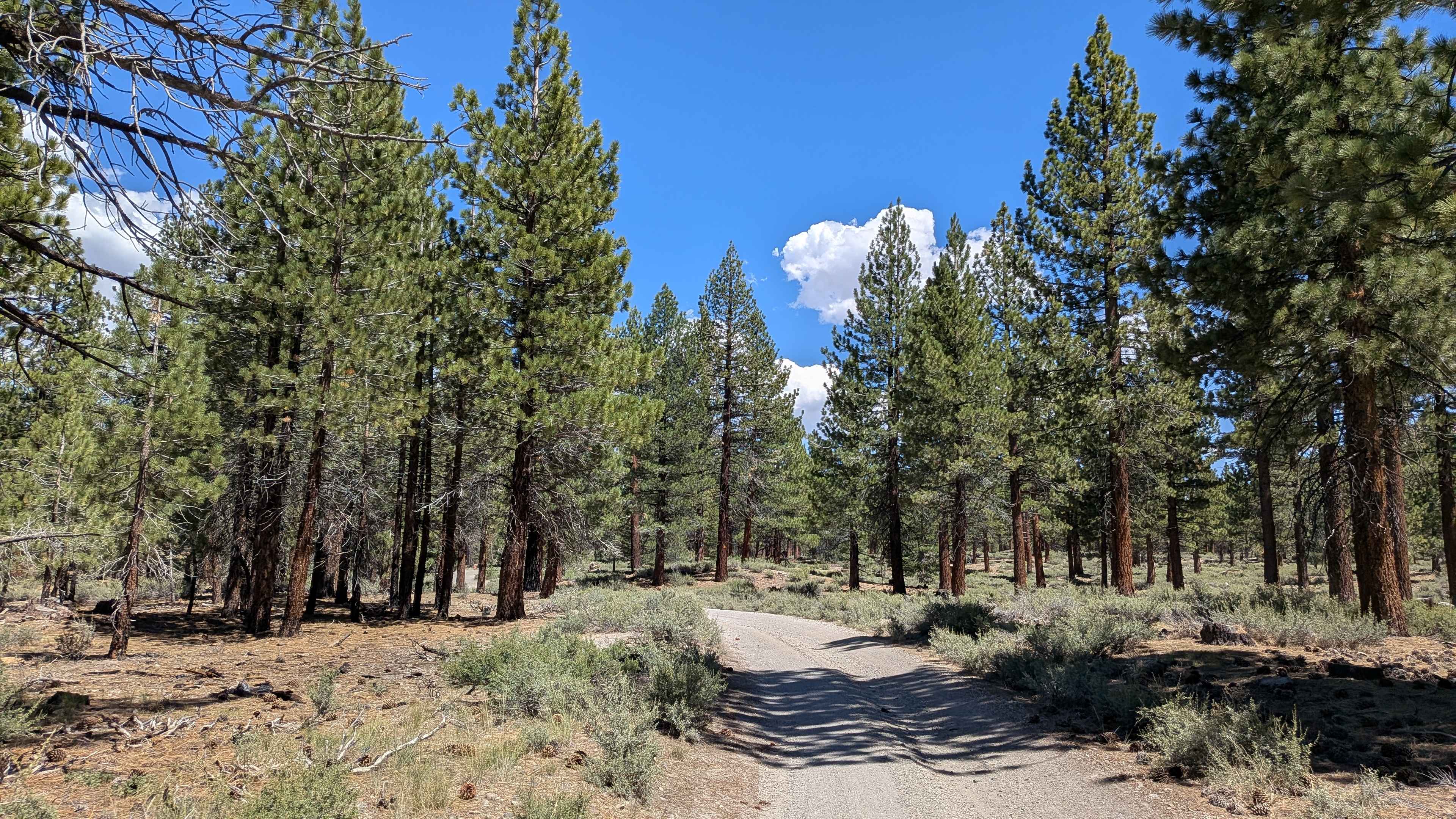
This trail starts just off Ogilby Road, just north of Highway 80, and heads toward Pasadena Mountain to the east with Imperial Dunes to the west, while Mohawk Peak in Mexico can be seen to the south, providing dramatic landmarks in multiple directions. The surface is rough, grainy sand that can be deep at times, requiring momentum management. The trail is lined with lots of desert bush, including creosote and burro bushes, as well as ocotillo, creating a vegetated corridor. The route follows a power line for easy reference throughout. The trail ends at railroad tracks. The last part of the trail crosses private land, so please stay on the trail to respect property boundaries. This area is a limited-use area, so please stay on established routes.
Photos of BLM 920
Difficulty
The rough, grainy sand that can be deep at times requires good tires and four wheel drive, which are recommended for maintaining traction. Airing down is beneficial for the sandy conditions. The power line provides excellent navigation reference. The main considerations are respecting the private land boundaries on the last part and staying on established routes in this limited-use area. A straightforward sandy route suitable for most equipped high clearance vehicles.
Status Reports
BLM 920 can be accessed by the following ride types:
- High-Clearance 4x4
- SUV
- SxS (60")
- ATV (50")
- Dirt Bike
BLM 920 Map
Popular Trails
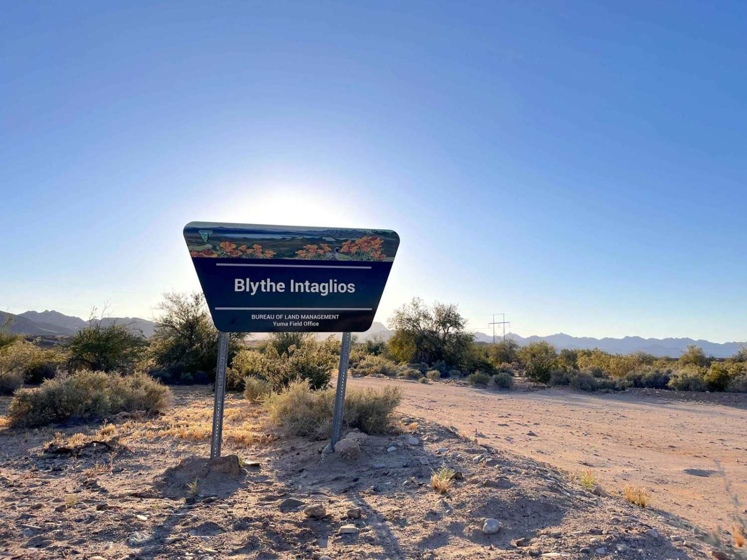
Blythe Intaglios Trail
White House Loop

West Tecuya OHV
Alpers Canyon Upper FS2S42
The onX Offroad Difference
onX Offroad combines trail photos, descriptions, difficulty ratings, width restrictions, seasonality, and more in a user-friendly interface. Available on all devices, with offline access and full compatibility with CarPlay and Android Auto. Discover what you’re missing today!