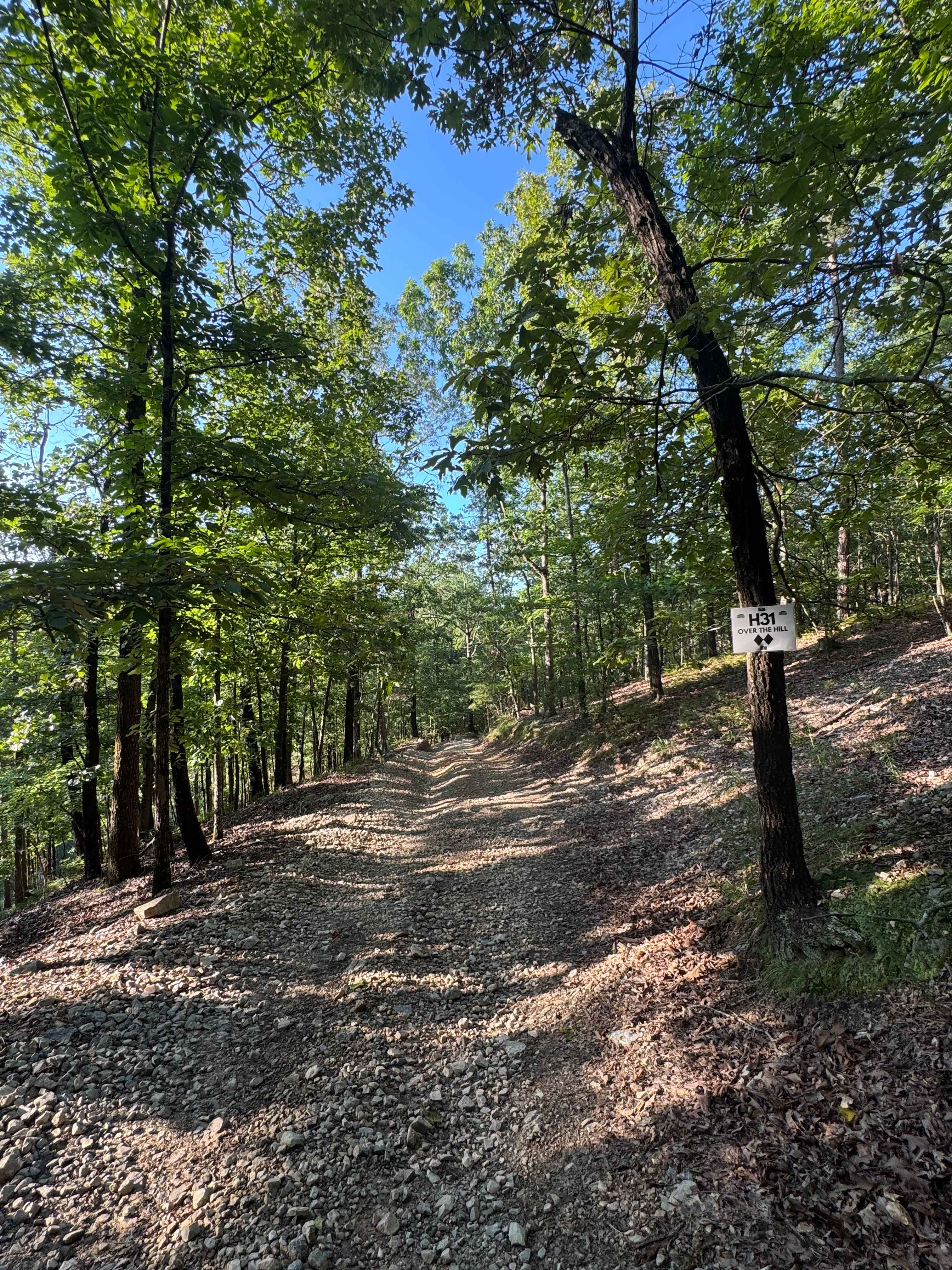
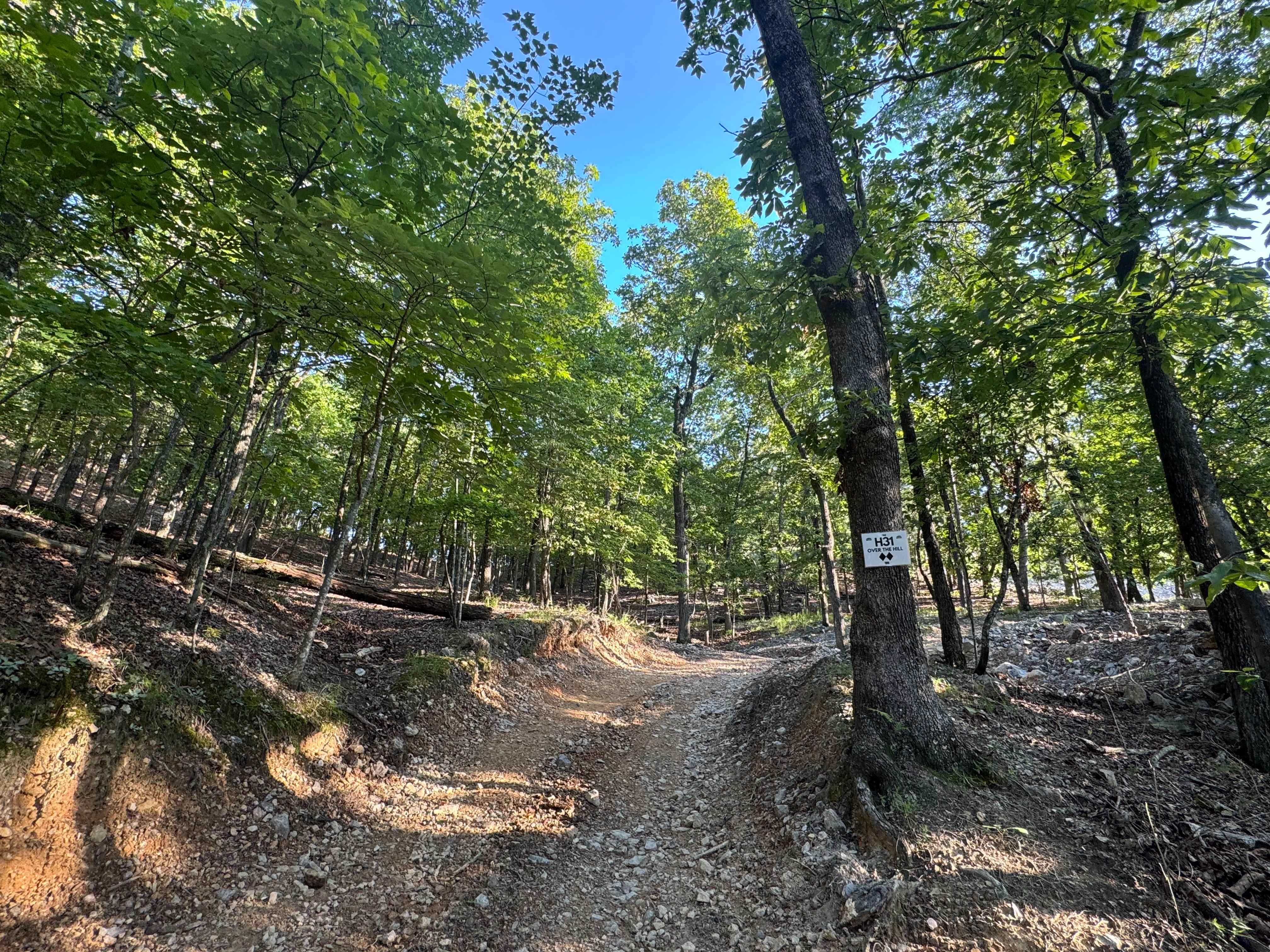
H31 Over the Hill
Total Miles
0.1
Technical Rating
Best Time
Spring, Summer, Fall, Winter
Trail Type
Full-Width Road
Accessible By
Trail Overview
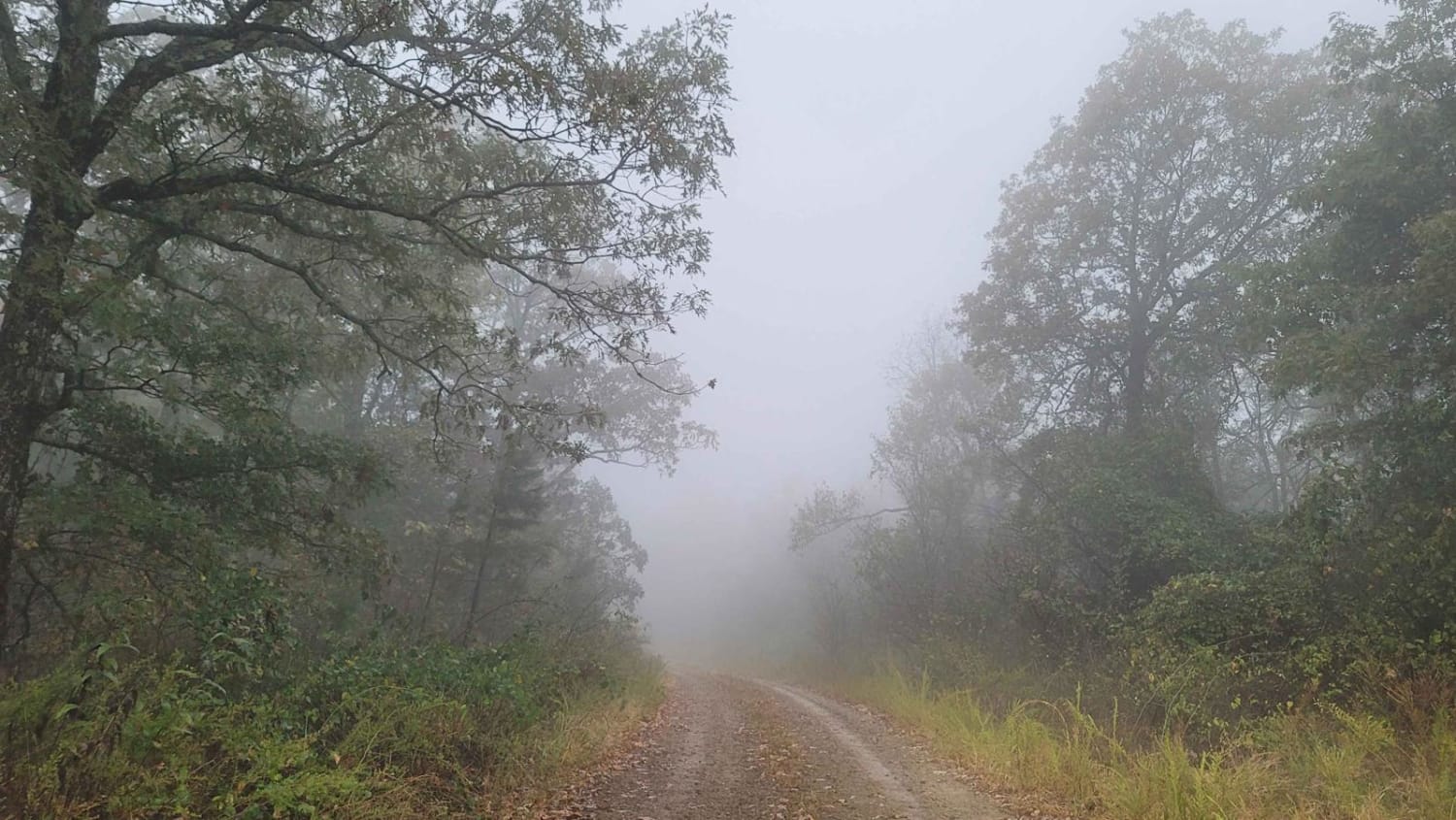
H31 Over the Hill is a 2-Diamond, two-way connector trail that links the 400-Side's H-section with L3. It's rated moderate by the Park and serves as a practical route for navigating between trail networks. The trail offers beautiful views of the powerline corridor, especially near the crest, where the terrain opens up briefly before dipping back into the woods. It's a solid transition trail with scenic value and utility for building longer trail runs. A Park Day-Use Trail Pass is required to access this system of trails. Cell service is spotty in places, and trail conditions can change quickly, especially after heavy rain or during the winter months.
Photos of H31 Over the Hill
Difficulty
This is an easy level rocky path.
Status Reports
H31 Over the Hill can be accessed by the following ride types:
- High-Clearance 4x4
- SUV
- SxS (60")
- ATV (50")
- Dirt Bike
H31 Over the Hill Map
Popular Trails

4ST Motorcycle Only
North Fork Road/Trail 86

The onX Offroad Difference
onX Offroad combines trail photos, descriptions, difficulty ratings, width restrictions, seasonality, and more in a user-friendly interface. Available on all devices, with offline access and full compatibility with CarPlay and Android Auto. Discover what you’re missing today!