Boundary Road
Total Miles
2.3
Technical Rating
Best Time
Spring, Fall, Summer
Trail Type
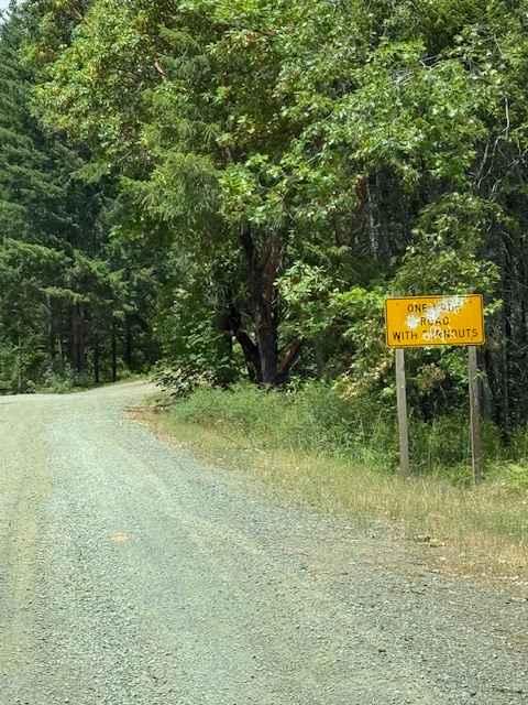
Full-Width Road
Accessible By
Trail Overview
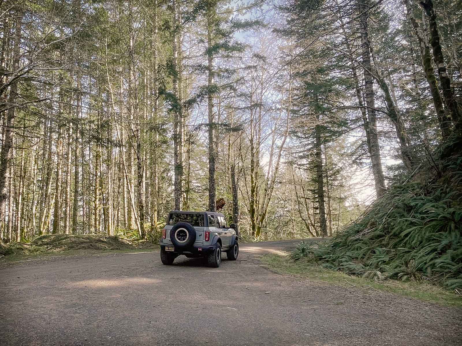
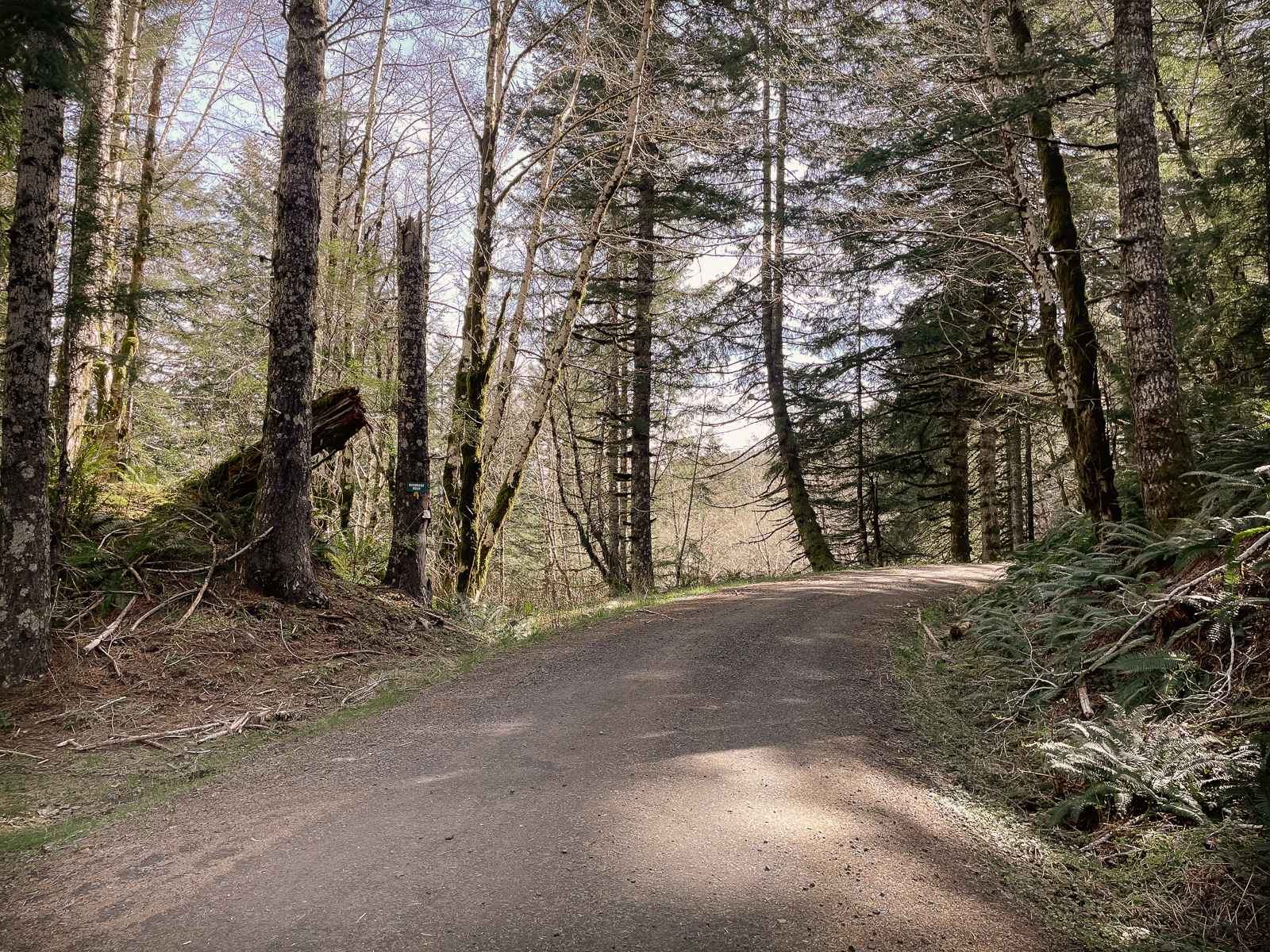
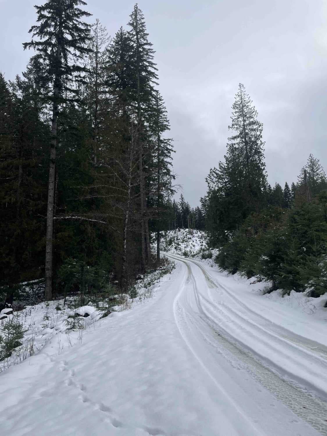
This gravel route runs through the BLM Nestucca River Recreation Area, connecting Elk Creek Road to Ginger Creek Road, with access to spur roads and pullouts for day-use. The road is generally well-maintained and graded, with compacted gravel, though potholes and seasonal overgrowth, and downed trees should be expected in winter and spring. The setting features old-growth Douglas fir, western hemlock, and red alder, with ferns and wetland vegetation below. Occasional pullouts offer views and informal fire pits. Oregon OHV/ATV permits are required. No cell service, water, or restrooms are available. Camping is limited to designated BLM campgrounds.
Photos of Boundary Road
Difficulty
This is a well-graded, well-maintained road. It is generally a wide single-width road, and there are plenty of opportunities for pullout and passing. There are frequent seasonal, shallow pot-holes, but no notable ruts or obstacles. Be prepared for downed trees and branches in winter and early spring, or after a major wind event.
Status Reports
Boundary Road can be accessed by the following ride types:
- High-Clearance 4x4
- SUV
- SxS (60")
- ATV (50")
- Dirt Bike
Boundary Road Map
Popular Trails
Onion Mountain, Shan Creek
Cross Over Road
Virginia valley cinder pile
The onX Offroad Difference
onX Offroad combines trail photos, descriptions, difficulty ratings, width restrictions, seasonality, and more in a user-friendly interface. Available on all devices, with offline access and full compatibility with CarPlay and Android Auto. Discover what you’re missing today!