Trail 16
Total Miles
2.4
Technical Rating
Best Time
Summer, Spring, Fall
Trail Type
50" Trail
Accessible By
Trail Overview
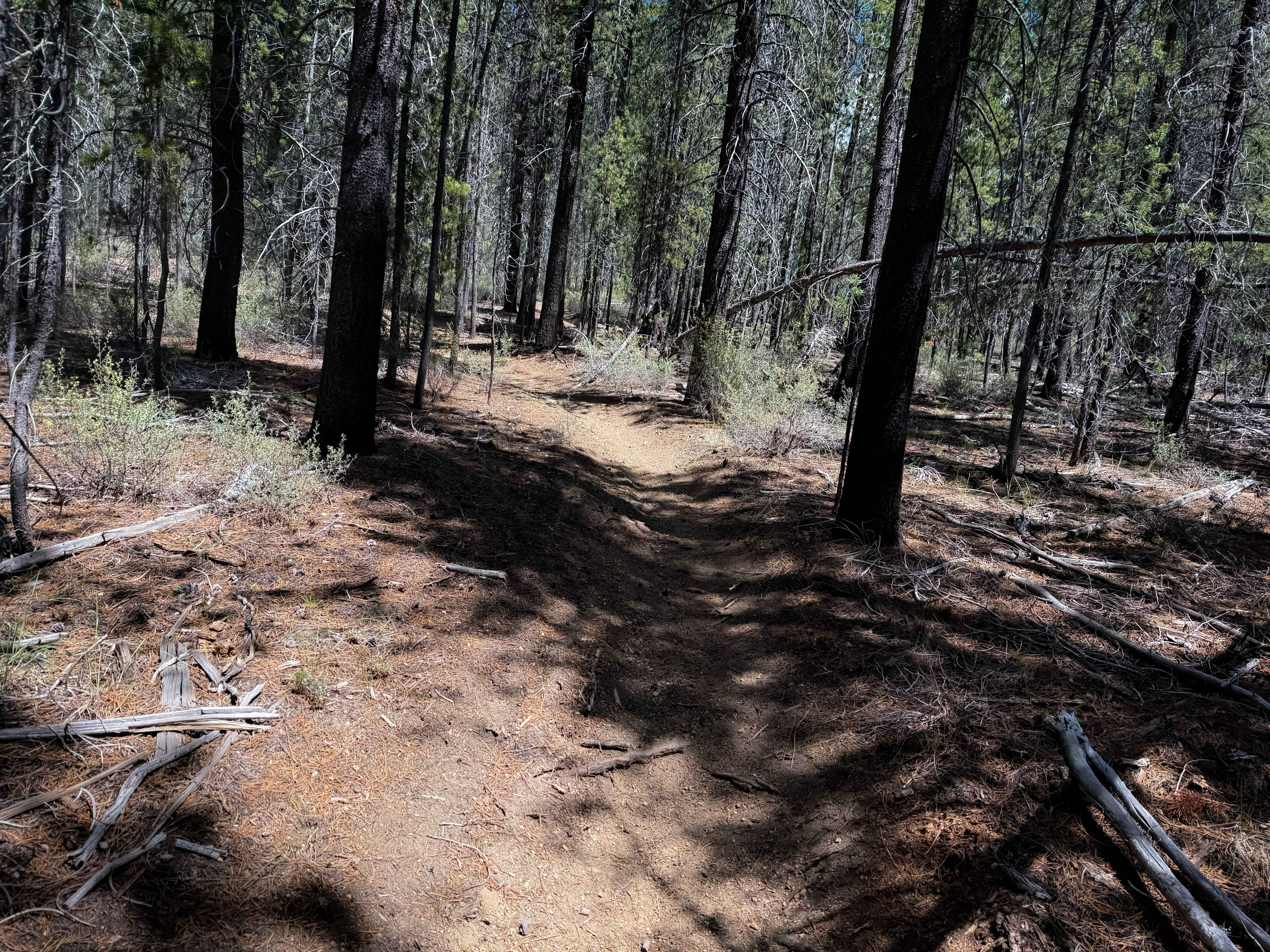
The west end of Trail 16 starts on FS Road 9751012 at some wooden fence posts, with a trail sign marked for ATVs and dirt bikes, specifically stating that side-by-sides are not allowed. The trail enters a forest of lodgepole pines, and narrows up right away, to where it would be tricky for ATVs to navigate between the trees that very closely line the path. The trail looks mostly ridden by dirt bikes. The trail starts tightly curving through the trees and up the hillside, on loose and dusty dirt through the dry forest of ponderosa pines. There are several trail crossings where you need to watch for oncoming traffic, but these are well marked with yield signs. The trail continues to tightly wind through the forest, with minimal other features or change throughout the route. There are a couple of spots where it descends or climbs more steeply, and one sandier spot, but the terrain is very similar for the majority of the route. The last half mile widens up into more of a powerline trail, and it goes straight north on a wide and easy path with a semi-steep climb and descent, before turning into a road.
Photos of Trail 16
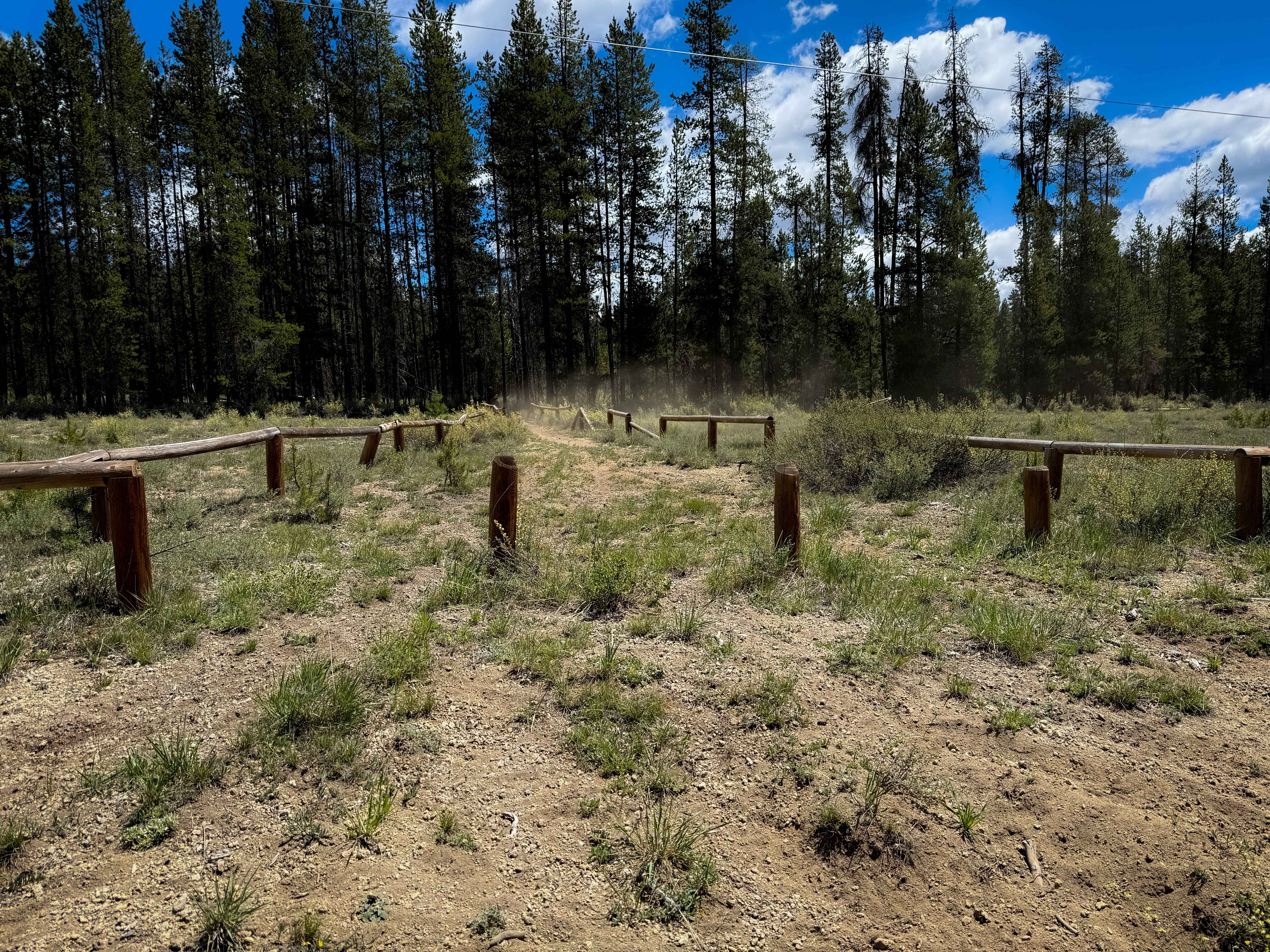
Difficulty
This is an easy trail with minor technical elements such as tight curves, tight trees, short but steep climbs and descents. Expect typical forest elements such as downed logs or roots. The trail had very minimal rock and no major obstacles.
Status Reports
Trail 16 can be accessed by the following ride types:
- ATV (50")
- Dirt Bike
Trail 16 Map
Popular Trails

Crack in the Ground
Jordan Valley - Leslie Gulch

Endless Prarie Road 697
The onX Offroad Difference
onX Offroad combines trail photos, descriptions, difficulty ratings, width restrictions, seasonality, and more in a user-friendly interface. Available on all devices, with offline access and full compatibility with CarPlay and Android Auto. Discover what you’re missing today!