The Arkansas Overland Route - Section 4 - Poison Springs WMA and Purifoy Cemetery
Total Miles
12.6
Technical Rating
Best Time
Spring, Summer, Fall, Winter
Trail Type
Full-Width Road
Accessible By
Trail Overview
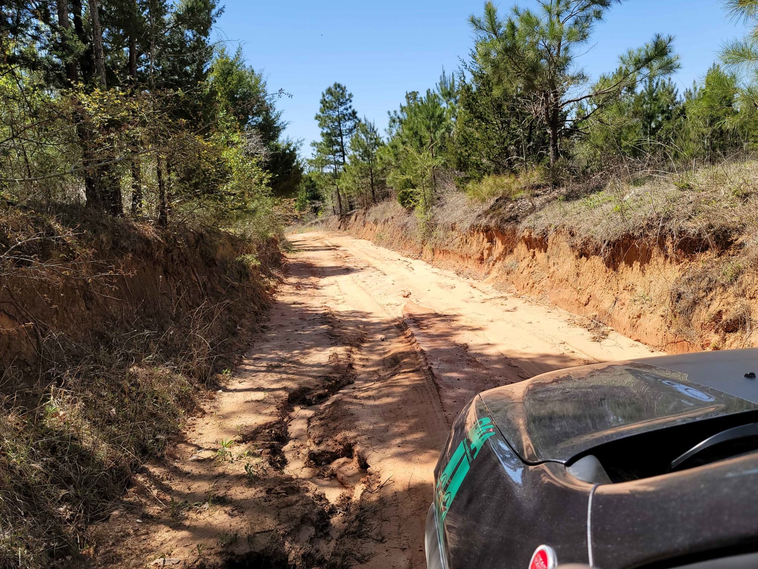
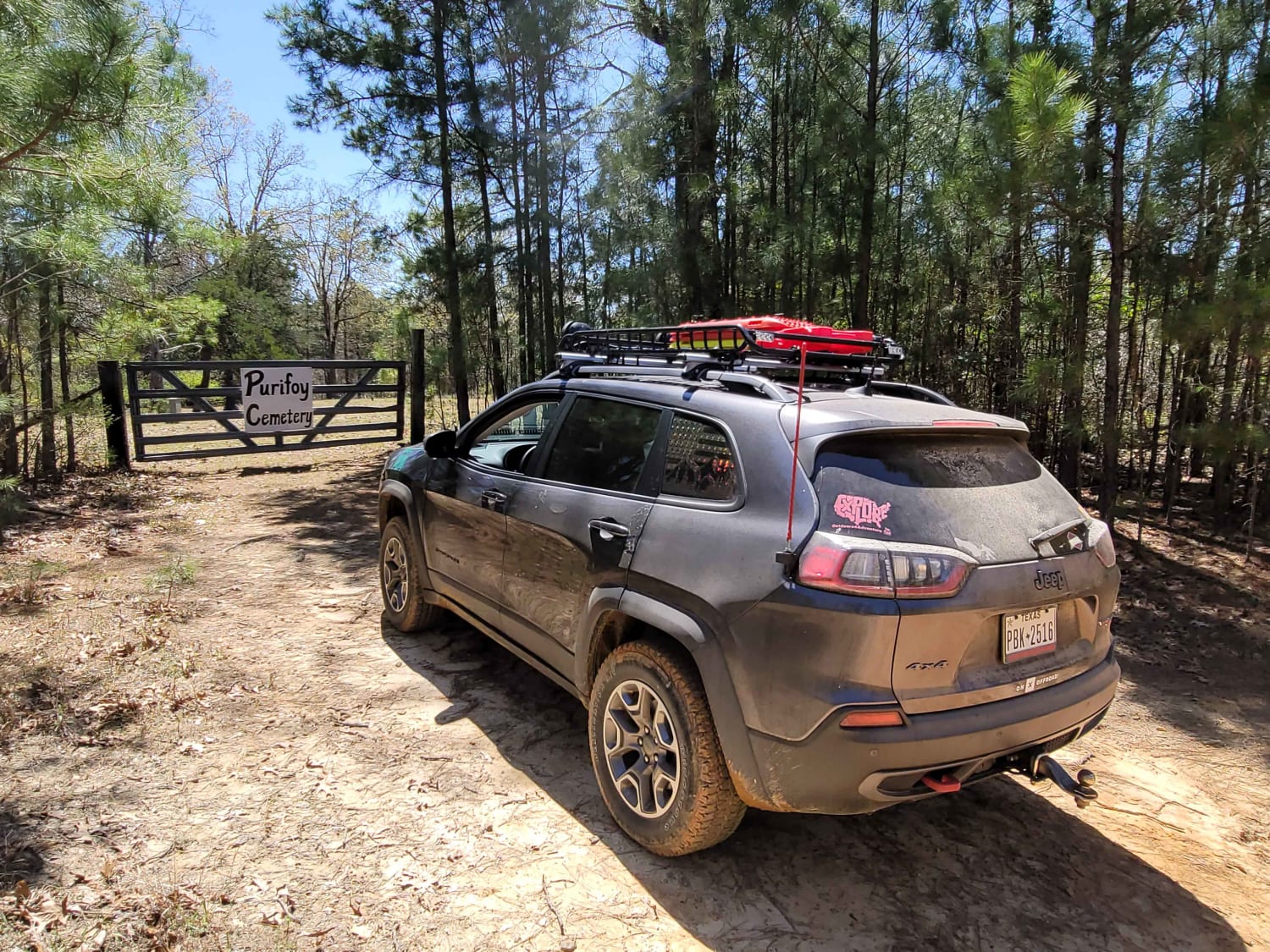
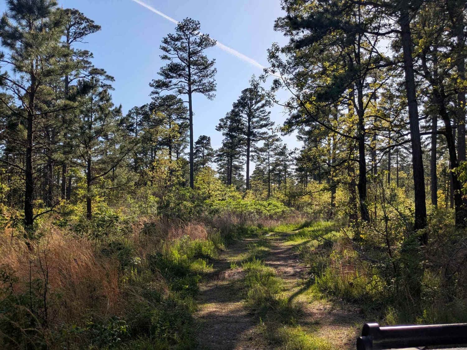
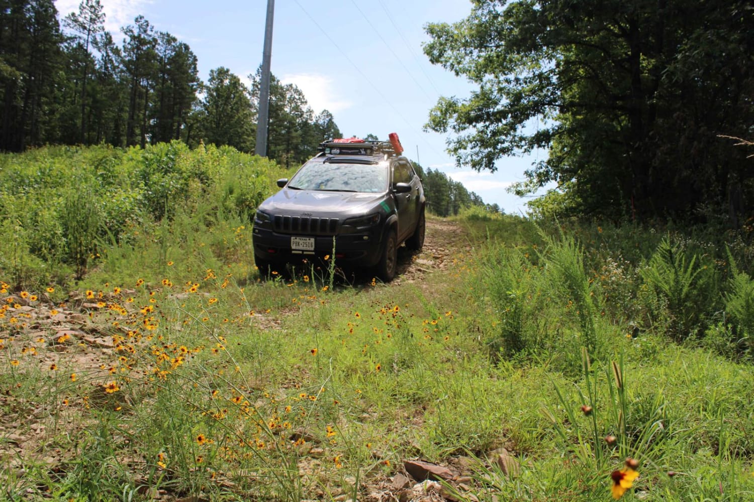
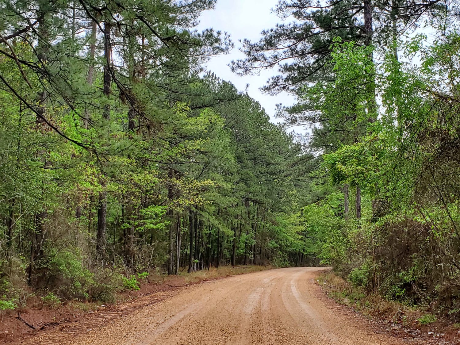
This trail is gravel and dirt that can be sloppy during or after rains. There is a small section is pavement before turning to go to Purifoy Cemetery. Some areas you might want to avoid during or right after rains. Primitive camping sites can be found along parts of these roads. For camping, get a free permit online for Poison Springs WMA. This route dead-ends at Purifoy Cemetery. The section of road going to the cemetery is very rough and should be avoided during and right after heavy rains. This is the fourth section of Falcon Bottoms Back Roads- Trail. Falcon Bottoms Back Roads include this trail and 2 other sections.
Photos of The Arkansas Overland Route - Section 4 - Poison Springs WMA and Purifoy Cemetery
Difficulty
Sections on this trail are sandy and dirt. These sections can be very slick and muddy after or during rains. Some sections are one vehicle wide. The section going to Purifoy Cemetery would be best traveled in dry weather. This cemetery section shows to go through but has a cable across the road a few yards past the cemetery.
Status Reports
The Arkansas Overland Route - Section 4 - Poison Springs WMA and Purifoy Cemetery can be accessed by the following ride types:
- High-Clearance 4x4
- SUV
The Arkansas Overland Route - Section 4 - Poison Springs WMA and Purifoy Cemetery Map
Popular Trails

Slo Fork Road
Henry Mountain Road
Power Line BUZZ
The Arkansas Overland Route - Section 9 - Norphlet Trek
The onX Offroad Difference
onX Offroad combines trail photos, descriptions, difficulty ratings, width restrictions, seasonality, and more in a user-friendly interface. Available on all devices, with offline access and full compatibility with CarPlay and Android Auto. Discover what you’re missing today!