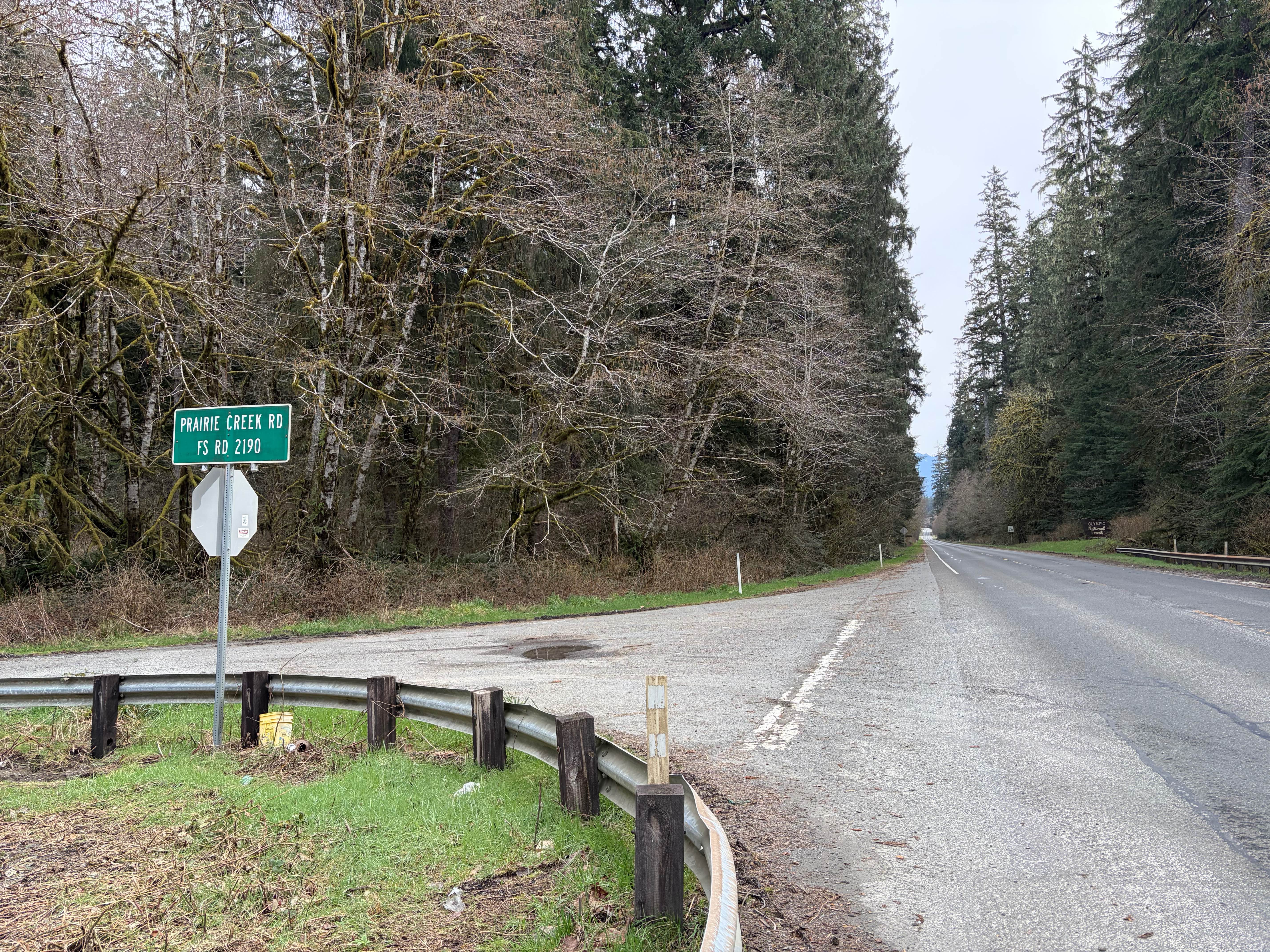
Prairie Creek - FS 2190
Total Miles
8.1
Technical Rating
Best Time
Spring, Summer, Fall
Trail Type
Full-Width Road
Accessible By
Trail Overview
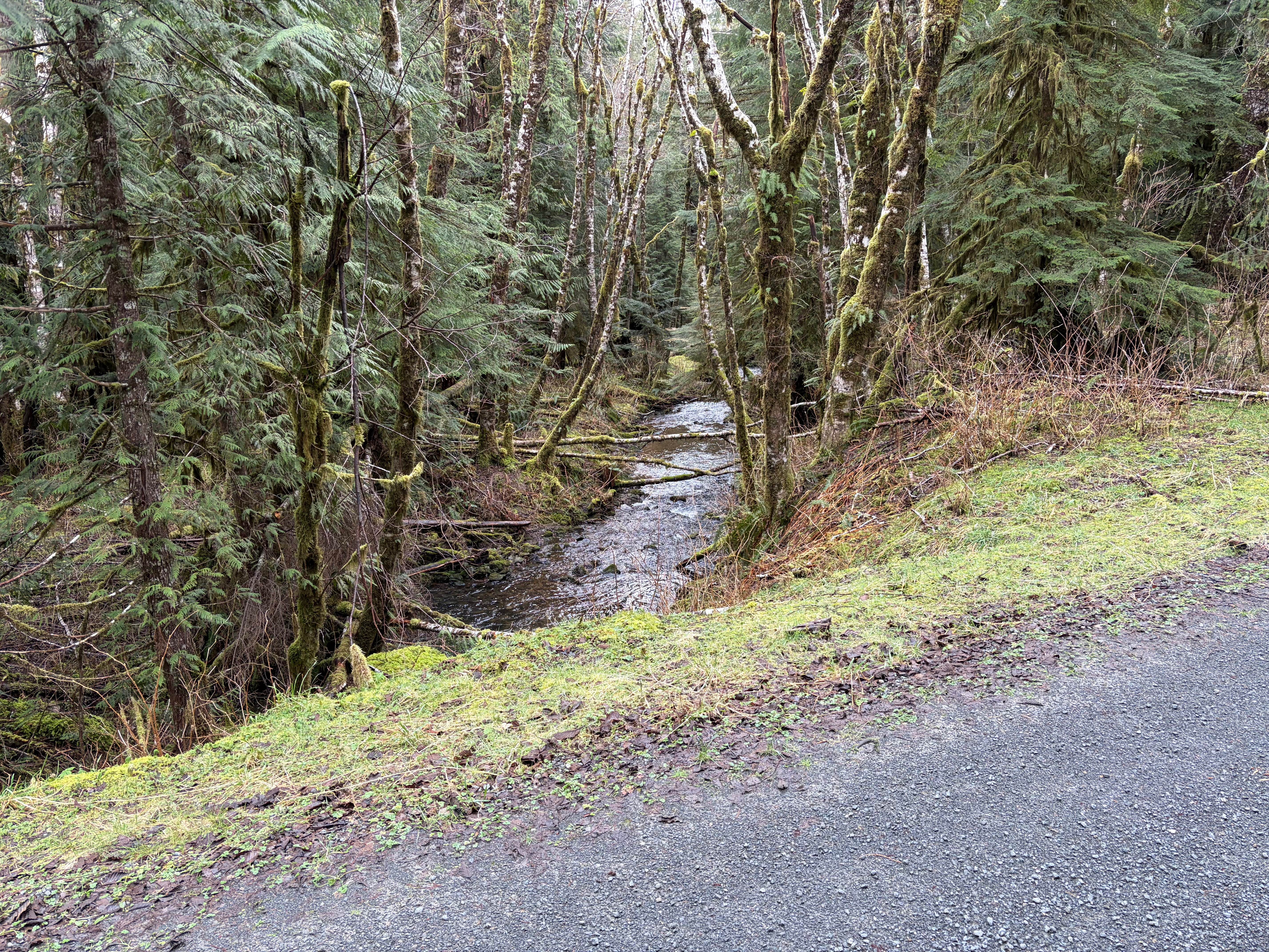
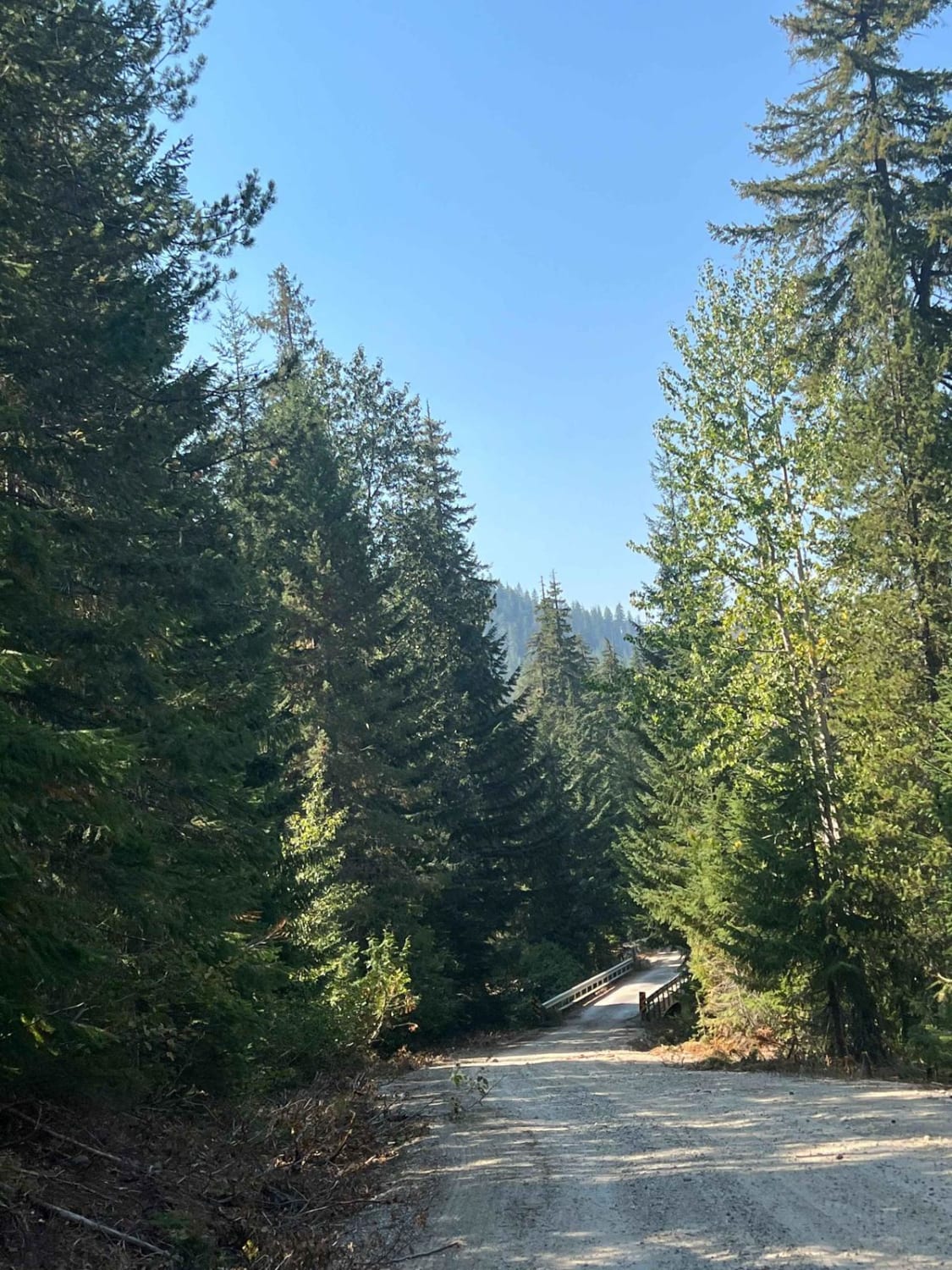
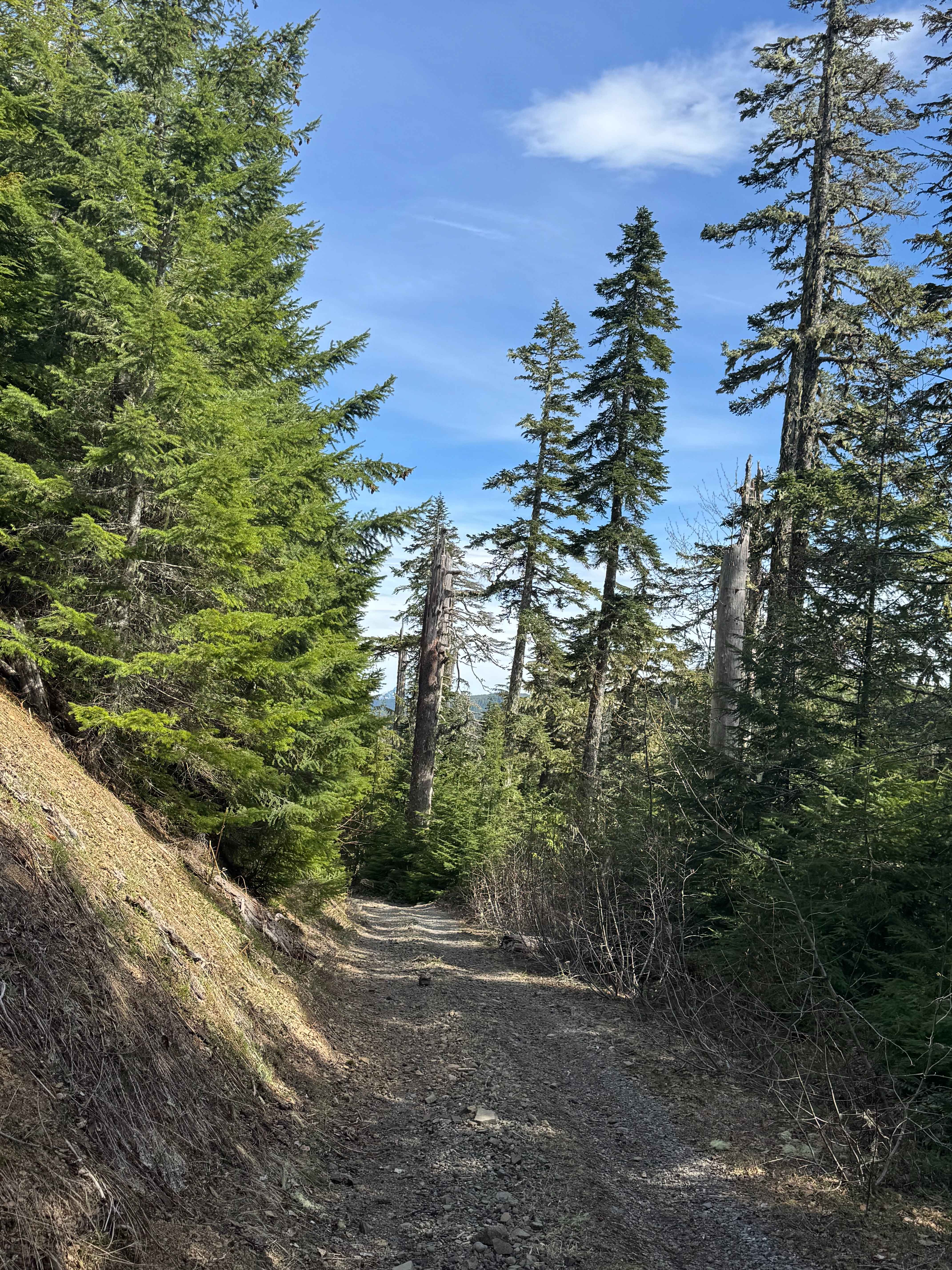
Prairie Creek (FS Road 2190) begins northwest of Lake Quinault off Highway 101 in the Olympic National Forest. The gravel road gains more than 2,000 feet in elevation and features several switchbacks along with the usual potholes. It passes through the Quinault Reservation before entering the national forest. Roadside waterfalls often flow actively in spring. At the upper end, an impressive view opens to the northeast toward Mount Olympus and the surrounding peaks. Logging and forest management activities may occur in the area. Dispersed camping is available, though users should confirm specific locations and follow all regulations. No restrooms or developed facilities exist along the road. Cell service may be spotty in this remote area. The Olympic Peninsula experiences mild, wet winters and drier summers, with weather that can change quickly at higher elevations. Check current road conditions with the Olympic National Forest before travel, as seasonal restrictions or active forest operations may apply.
Photos of Prairie Creek - FS 2190
Difficulty
The relatively smooth gravel road gains more than 2,000 feet in elevation over approximately 8 miles and is not overly steep. It features several switchbacks along with occasional potholes.
History
The area has a long history of forest management and logging activities, consistent with much of the Olympic National Forest. FS Road 2190 has also hosted occasional permitted events, such as road rallies in the past.
Status Reports
Prairie Creek - FS 2190 can be accessed by the following ride types:
- High-Clearance 4x4
- SUV
Prairie Creek - FS 2190 Map
Popular Trails


Saturday Rock Connection Trail
Labyrinth Mountain
Winston Road- FS 7415
The onX Offroad Difference
onX Offroad combines trail photos, descriptions, difficulty ratings, width restrictions, seasonality, and more in a user-friendly interface. Available on all devices, with offline access and full compatibility with CarPlay and Android Auto. Discover what you’re missing today!