Sansavilla Road
Total Miles
4.7
Technical Rating
Best Time
Spring, Summer, Fall, Winter
Trail Type
Full-Width Road
Accessible By
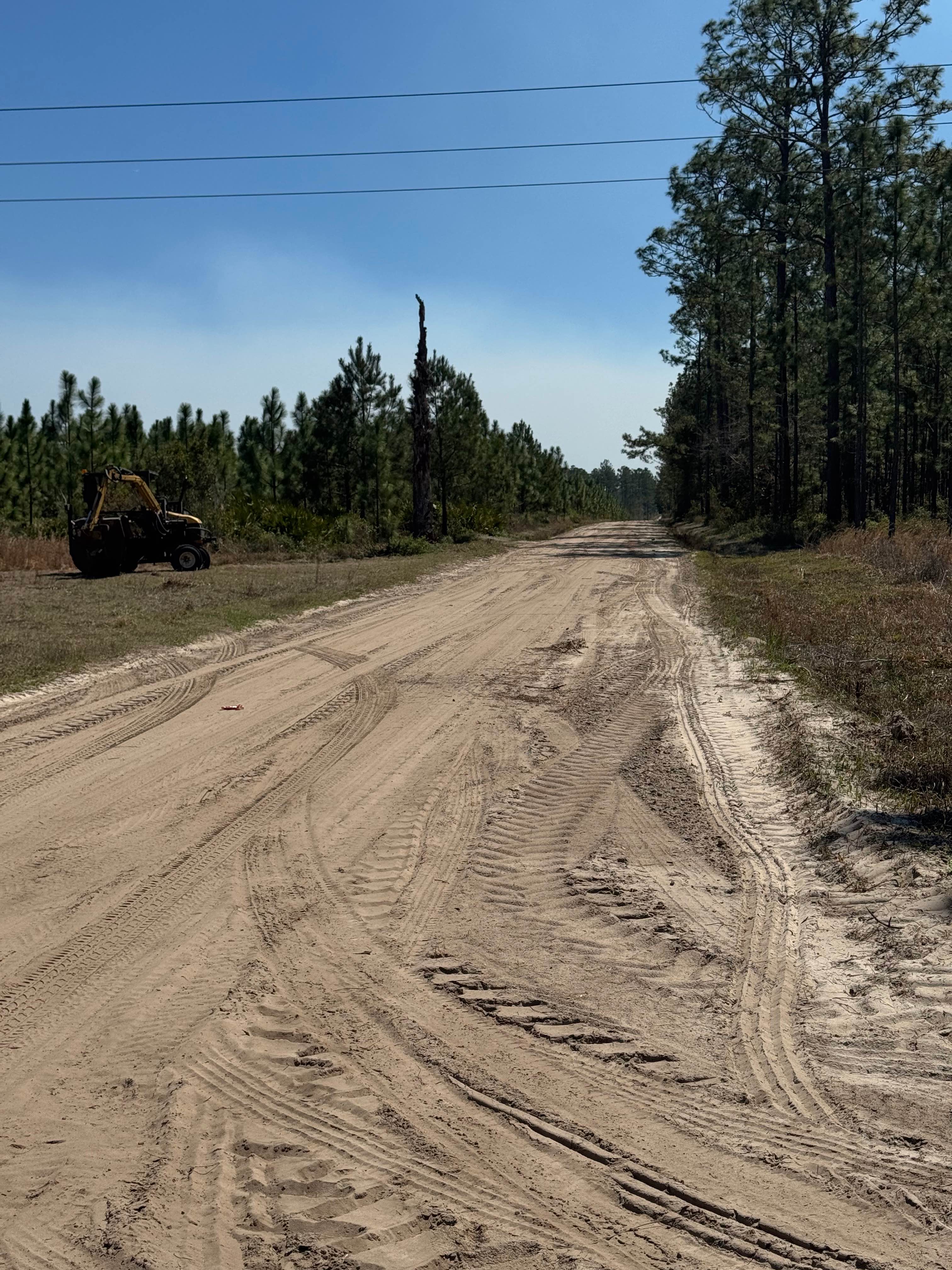
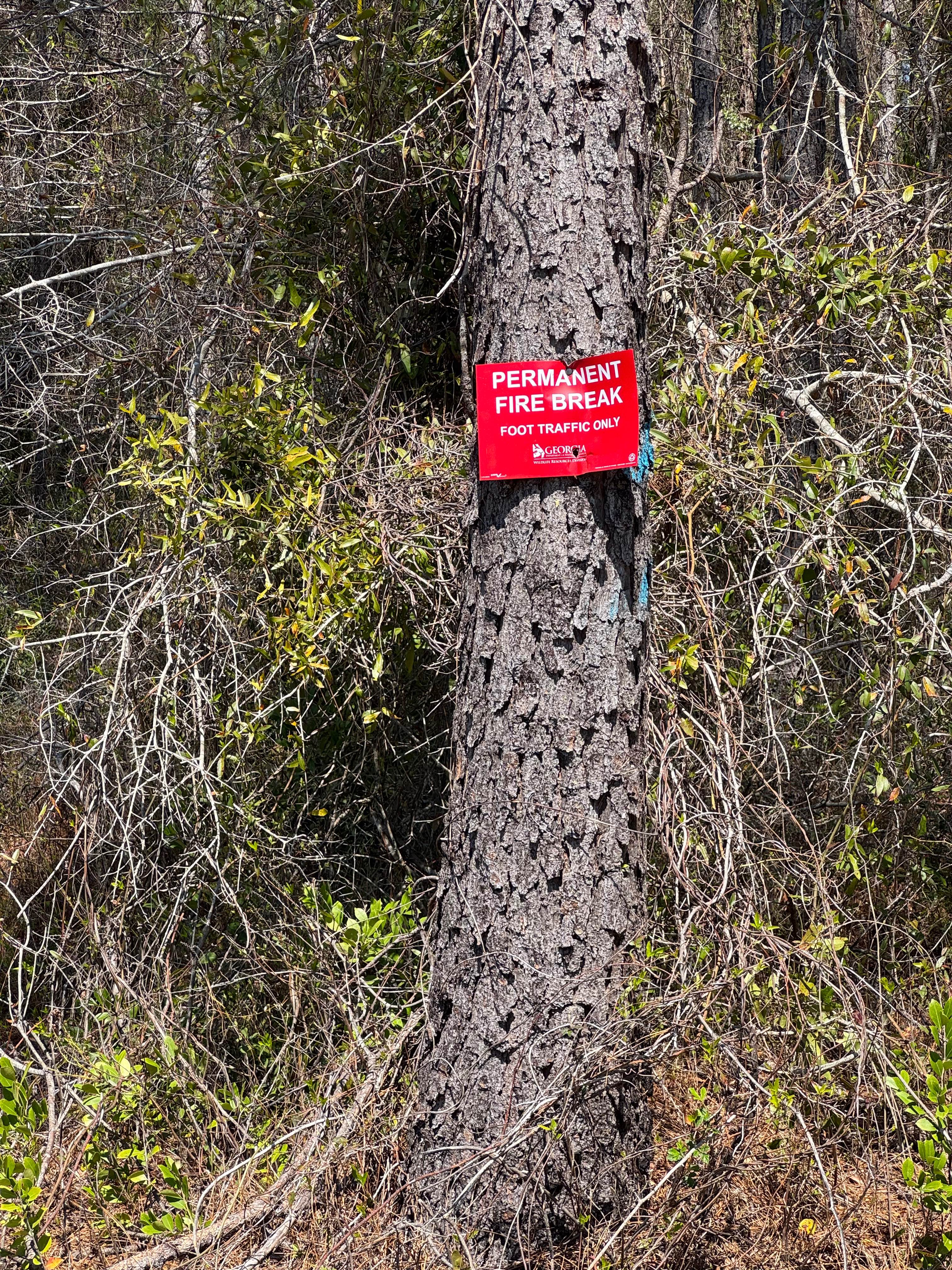
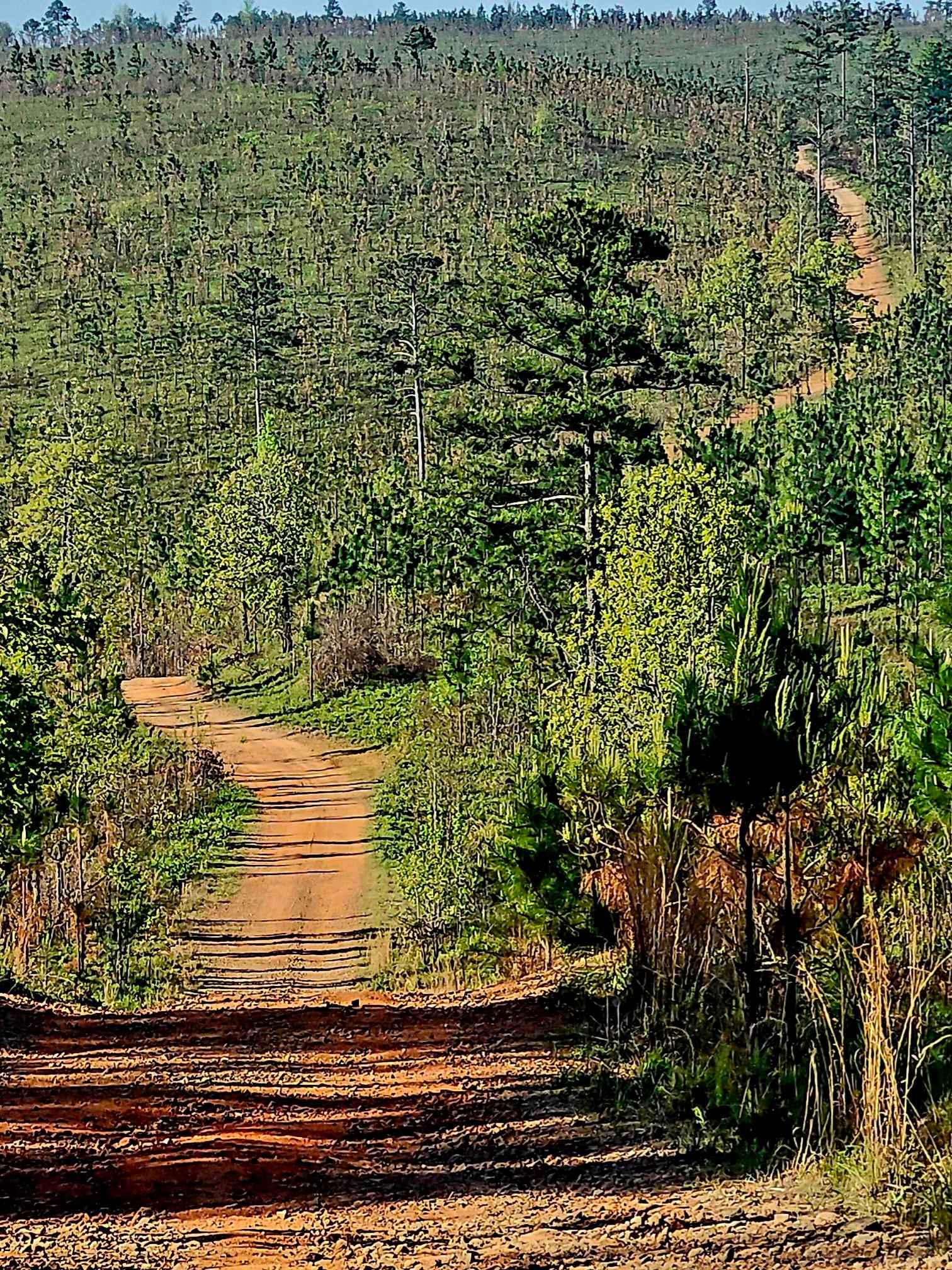
Trail Overview
Nice smooth dirt road through the heart of the Sansavilla Wildlife Management Area. This road is plenty wide enough for two vehicles and smooth enough for just about any vehicle to complete. The far end of the road terminates at the Altamaha River bank at a great overlook where you can take in the view of the river and relax or have a picnic lunch. Sansavilla Road also crosses River Road, giving access to other trails in the Sansavilla WMA complex. Sansavilla Road is entirely within the Sansavilla WMA, and a valid Georgia Hunting or Fishing license is required to access the trail. Allowed vehicle types are restricted to street-licensed vehicles unless during specified hunts, when other offroad vehicles (ATV, UTV, SxS) are allowed but only during certain hours.
Photos of Sansavilla Road
Difficulty
Wide, flat sandy road easily two vehicles wide along its length.
Status Reports
Sansavilla Road can be accessed by the following ride types:
- High-Clearance 4x4
- SUV
Sansavilla Road Map
Popular Trails
East Armuchee Creek - Forest Road 310
Alexander Ridge Trail

Cooper's Gap
The onX Offroad Difference
onX Offroad combines trail photos, descriptions, difficulty ratings, width restrictions, seasonality, and more in a user-friendly interface. Available on all devices, with offline access and full compatibility with CarPlay and Android Auto. Discover what you’re missing today!