Frenchman Coulee Tour
Total Miles
2.9
Technical Rating
Best Time
Spring, Summer, Fall, Winter
Trail Type
Full-Width Road
Accessible By
Trail Overview
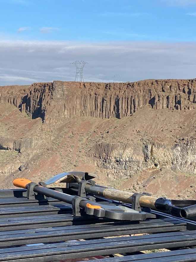
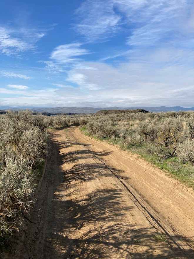
Most travelers explore the south side of Frenchman Coulee and completely overlook the solitude of the north side. The spur trails lead you to various vantage points along the coulee rim. Each of those spurs lead to potential dispersed campsites right on the cliff edge. The far west side of the route has an amazing view of the Columbia River. Be sure to read up on the amazing geological history of this area, from the great Columbia Basalt lava flows, later to be washed out by the ice age floods, creating the coulee you see. Unfortunately, this area has been used as a place to dump trash, so some areas are less pretty than they should be. If camping in this area, be prepared for high winds of 30 mph or more, which is quite common. With the wind, also comes dust.
Photos of Frenchman Coulee Tour
Difficulty
This is an easy trail, and can be traveled with a passenger car if you're careful.
Status Reports
Frenchman Coulee Tour can be accessed by the following ride types:
- High-Clearance 4x4
- SUV
- SxS (60")
- ATV (50")
- Dirt Bike
Frenchman Coulee Tour Map
Popular Trails
Russell Ridge - FS 1306
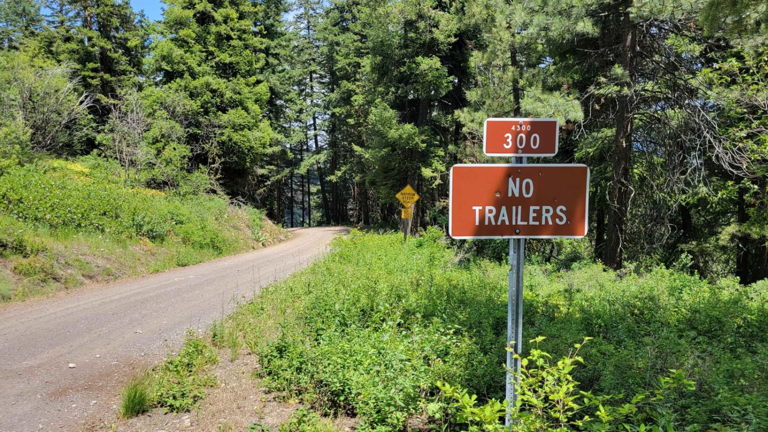
Poorman Creek Road (NF 4300300)

East Fork Road

Short Timers
The onX Offroad Difference
onX Offroad combines trail photos, descriptions, difficulty ratings, width restrictions, seasonality, and more in a user-friendly interface. Available on all devices, with offline access and full compatibility with CarPlay and Android Auto. Discover what you’re missing today!