W6
Total Miles
3.2
Technical Rating
Best Time
Spring, Summer, Fall, Winter
Trail Type
Full-Width Road
Accessible By
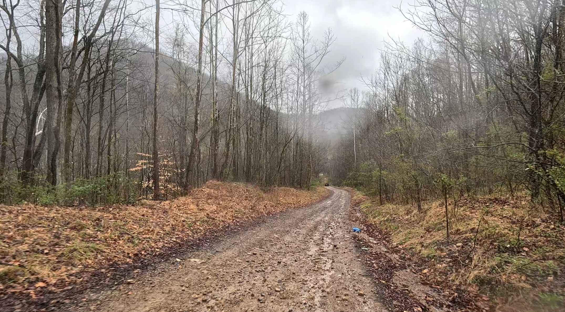
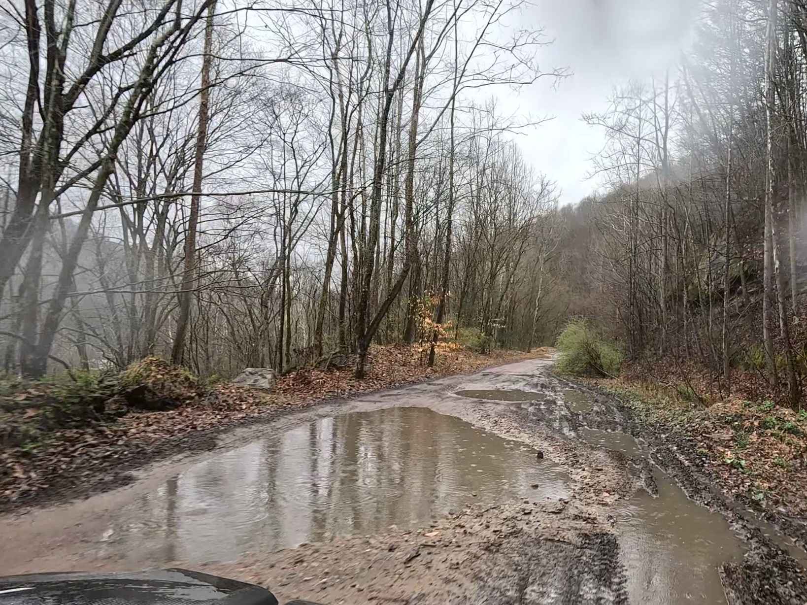
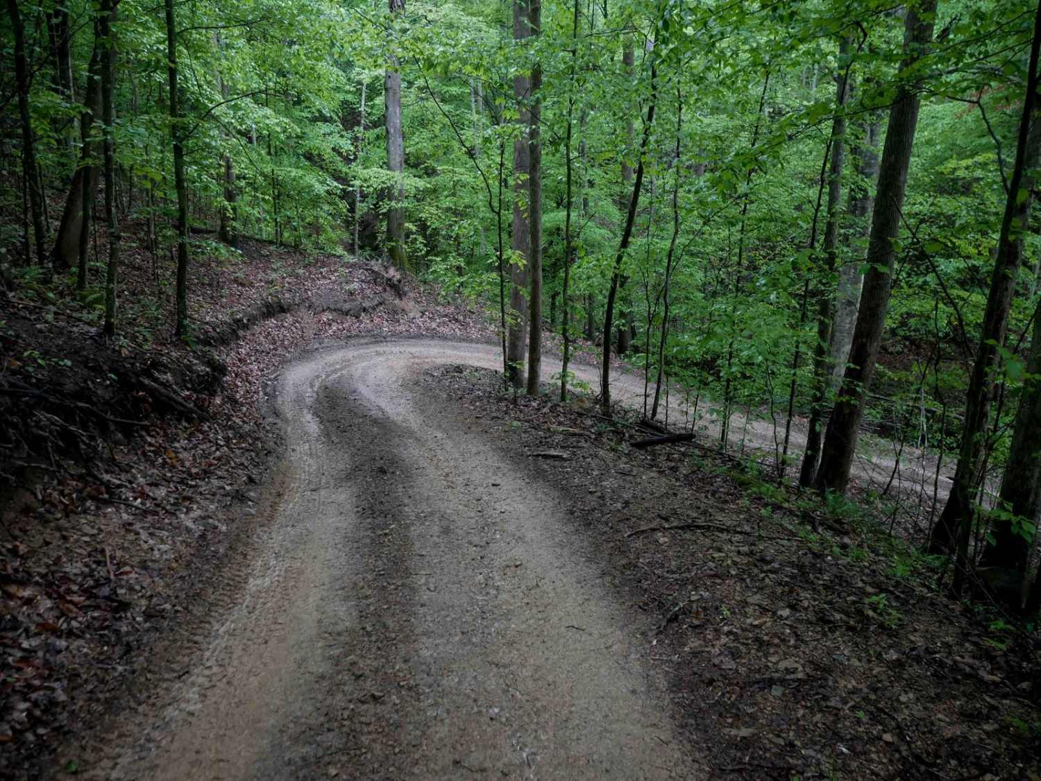
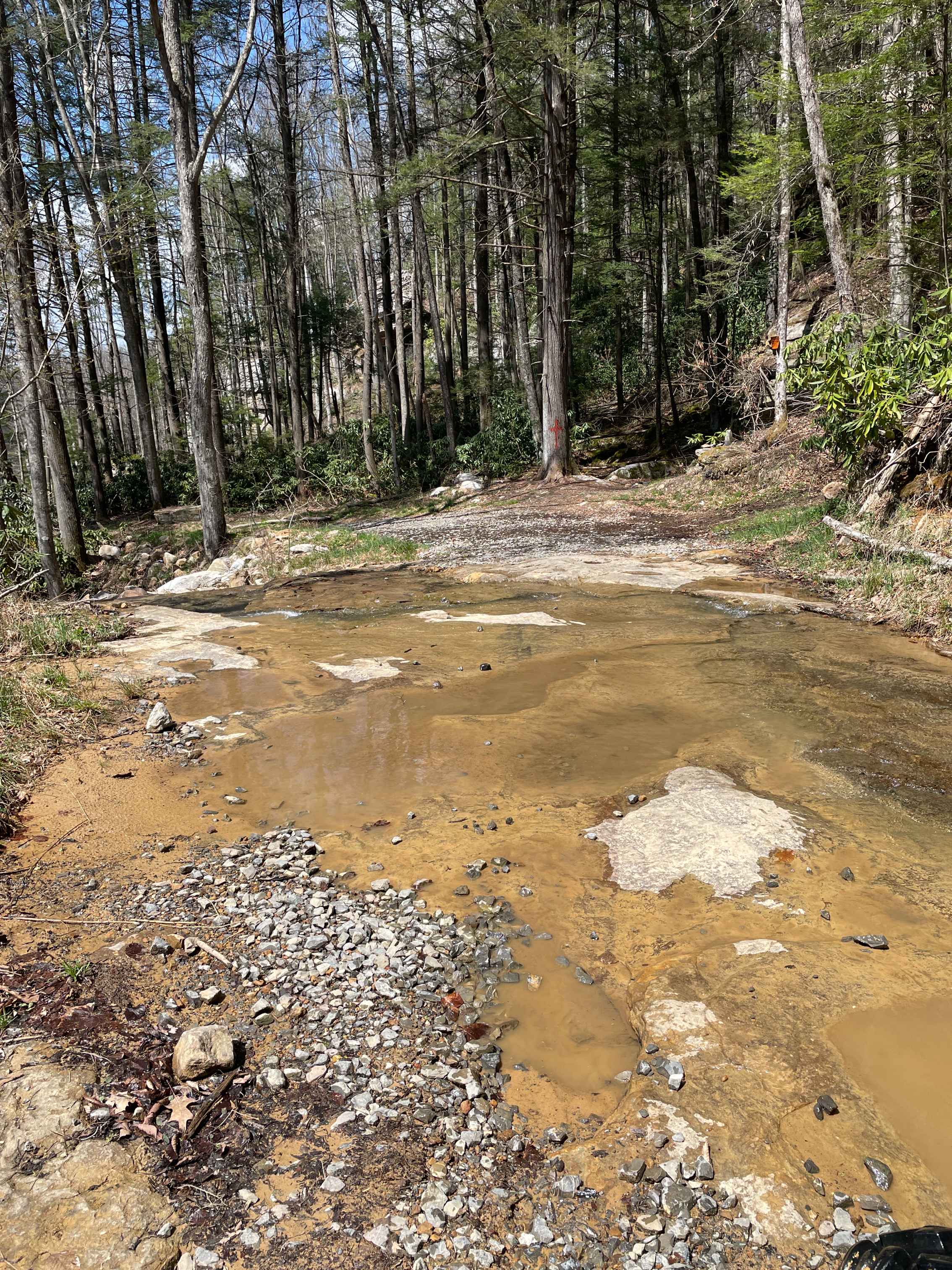
Trail Overview
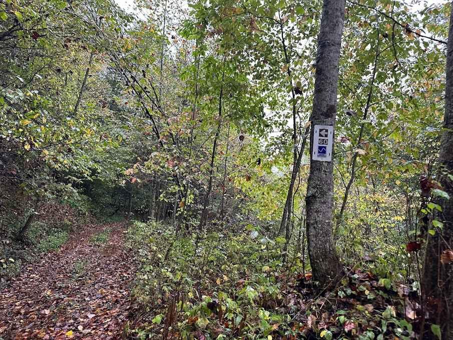
W6 is a primary northbound route through the Witcher area, accessed via Witcher Creek Road. Running along the valley floor, this trail provides a direct path to the upper portions of the system while offering access to more technical trails branching off to the west. The trail consists primarily of gravel with a smooth, steady flow. Its wide layout makes for easy navigation and comfortable two-way traffic. The route follows the natural low valley, keeping elevation changes gradual as it progresses north. After rain, larger puddles can develop along the trail, particularly in low-lying sections. These are typically easy to navigate but may require minor line adjustments.
Photos of W6
Difficulty
Beginner-friendly. Suitable for all riders and serves as a primary access route with optional advanced trail connections nearby.
Status Reports
W6 can be accessed by the following ride types:
- High-Clearance 4x4
- SUV
- SxS (60")
- ATV (50")
- Dirt Bike
W6 Map
Popular Trails
Meadow/Gauley Access Trail

The onX Offroad Difference
onX Offroad combines trail photos, descriptions, difficulty ratings, width restrictions, seasonality, and more in a user-friendly interface. Available on all devices, with offline access and full compatibility with CarPlay and Android Auto. Discover what you’re missing today!