Buzzard Ridge Spur A - FS 2677A
Total Miles
1.0
Technical Rating
Best Time
Spring, Summer, Winter, Fall
Trail Type
High-Clearance 4x4 Trail
Accessible By
Trail Overview
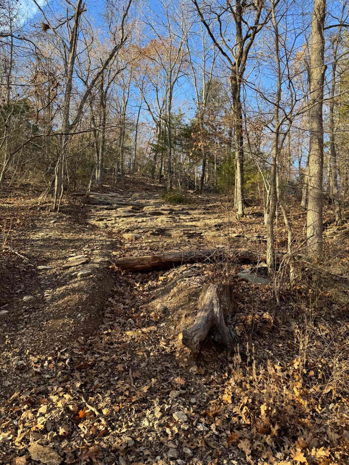
Buzzard Ridge Spur A (FS 2677A) is a gravel and dirt terrain Forest Service Road within the Salem Unit of Mark Twain National Forest, despite the road being legally open up to High Clearance 4x4 sized vehicles, the road is notably very narrow for even SXS (60 inch trail width) sized vehicles, showing similarly in size to the nearby ATV-sized trails of Sutton Bluff OHV which is restricted to 50 inch and under vehicles. In fact, this trail fits better when seen as the ridge access to the SB 10, which, minus the SB 10's size restriction gate, begins seamlessly at the eastern end of the FS 2677A. From the beginning where the FS 2677A spurs off the FS 2677, the base terrain is made up of coarse natural gravel, with the features of mild whoops, small erosion ryts, natural cobbles scattered along the path, natural rock poking out at the surface, splash level water collection spots, with the track following along the ridge top spines, through the tight tree lines, until it meets the SB 10 gate on the far east end, if on the an ATV users can continue east on SB 10, if in a SXS or High Clearence 4x4, turn around at 37.45811, -91.05227 and head back the way entered.
Photos of Buzzard Ridge Spur A - FS 2677A


Difficulty
FS 2677A is given a base rating of 2/10 for having a natural coarse gravel, mild-graded hills, mild forms of active erosion, loose 4 to 10-inch cobbles lying in the road, several whoops, and natural rock poking out at the surface. The unsung difficulty is that the tree line is narrowing significantly along the road, pushing towards only being reasonably accessible by the 50-inch width that this road is commonly used by. In the state, it was documented in 2/2026 that this trail is very tight for a high clearance 4x4 or even for a SXS or other 60-inch vehicles, and not recommended to be used by these sized vehicles. Difficulty can increase, from heavy use and a lack of maintenance, large 12-inch-plus fallen trees blocking the trail, in wet or rainy conditions, inclement weather, or from damage sustained from erosion.
Status Reports
Buzzard Ridge Spur A - FS 2677A can be accessed by the following ride types:
- High-Clearance 4x4
- SxS (60")
- ATV (50")
- Dirt Bike
Buzzard Ridge Spur A - FS 2677A Map
Popular Trails


Collins Cemetery Road

Garbage Alley 122
The onX Offroad Difference
onX Offroad combines trail photos, descriptions, difficulty ratings, width restrictions, seasonality, and more in a user-friendly interface. Available on all devices, with offline access and full compatibility with CarPlay and Android Auto. Discover what you’re missing today!