West Mercur Trail
Total Miles
2.4
Technical Rating
Best Time
Spring, Summer, Fall, Winter
Trail Type
Full-Width Road
Accessible By
Trail Overview
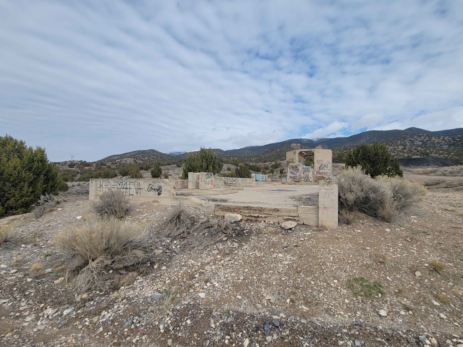
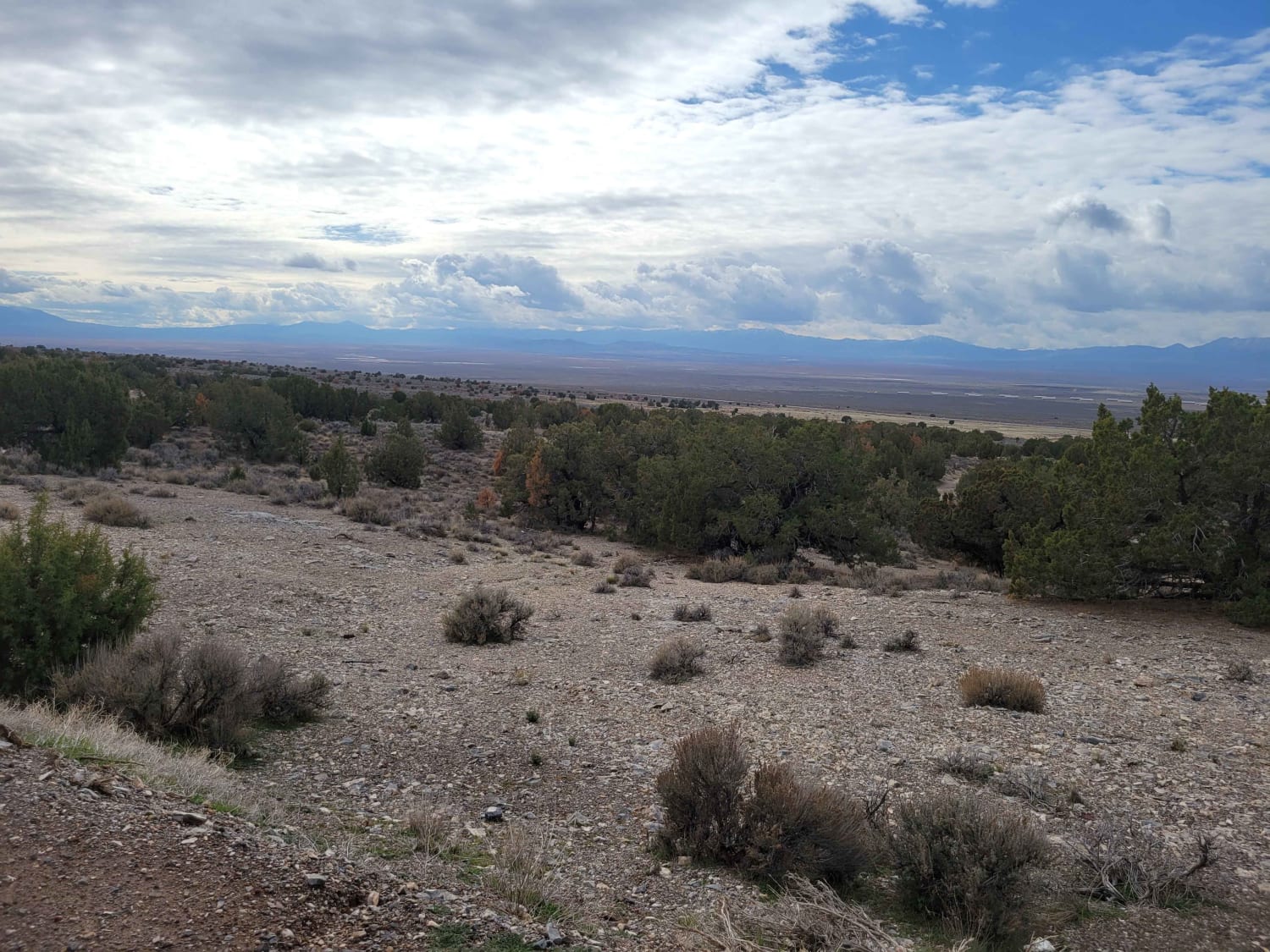
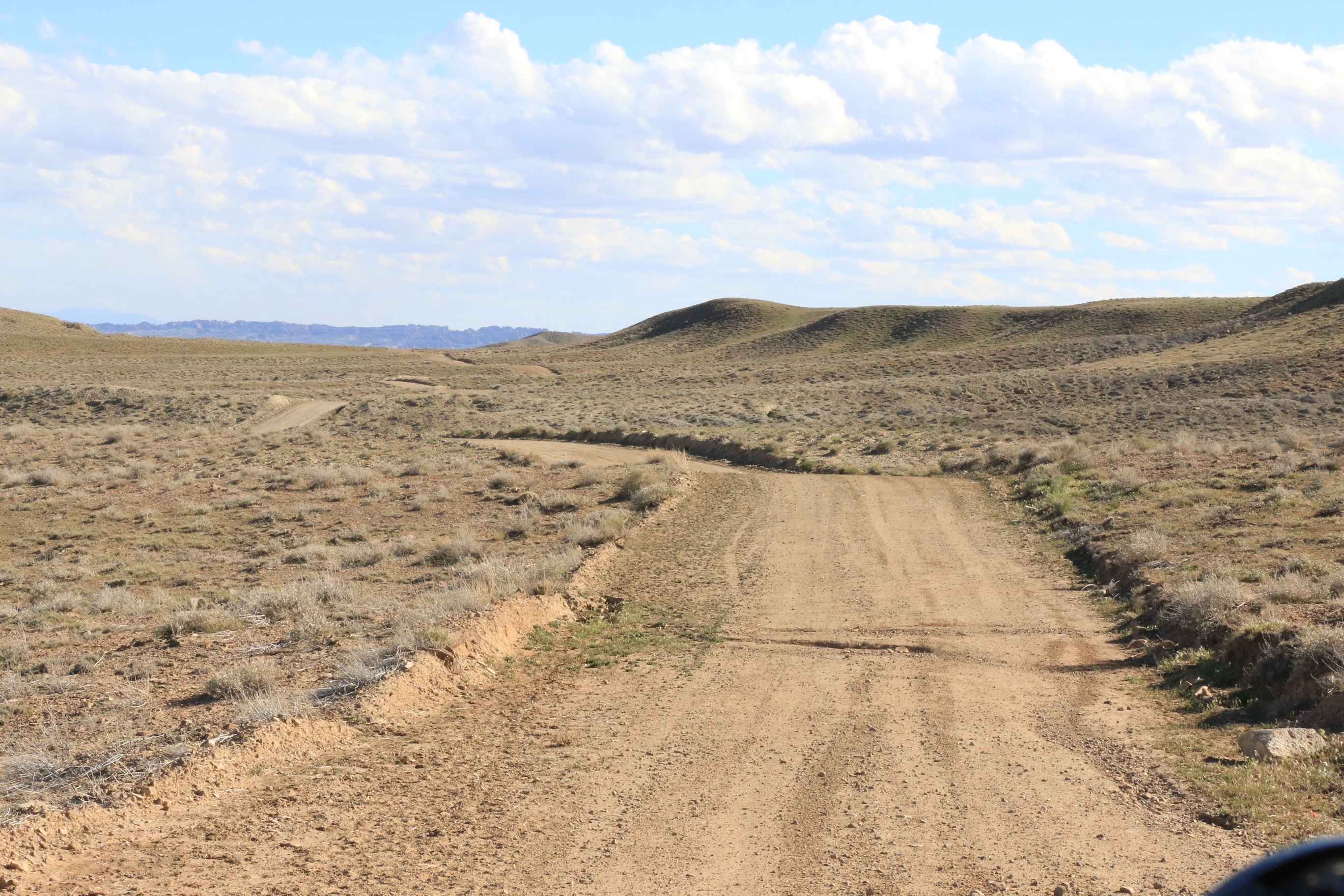
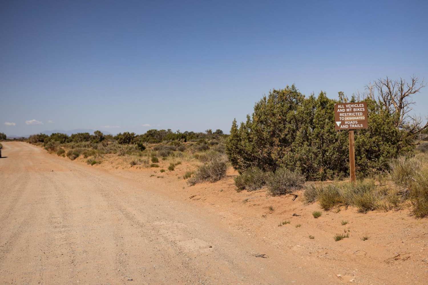
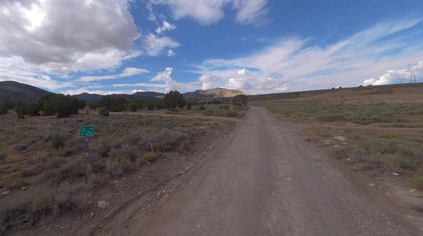
Established easy dirt road that connects from the 73 to Mercur Canyon Highway. There is nothing difficult to note about this road but keep an eye out for water erosion damage off to the sides of the road. There are primitive camp spots scattered along the trail. Sweeping desert views overlooking the Tooele valley. There are a couple of shooting areas on this route - please be sure to do your part and pack out any garbage if you use them. There are some remnants of an old building right off the trail.
Photos of West Mercur Trail
Difficulty
Established easy dirt road that connects from the 73 to Mercur canyon highway. There is nothing difficult to note about this road but keep an eye out for water erosion damage off to the sides of the road. There are primitive camp spots scattered along the trail. Sweeping desert views overlooking the Tooele valley. There are a couple of shooting areas on this route - please be sure to do your part and pack out any garbage if you use them. There's some remnants of an old building right off the trail.
History
Mercur is a historical hard rock mining ghost town in Tooele County, Utah, United States. A distant memory of the Old West, Mercur became one of Utah's first mining districts in 1893. At one point, the town was home to well over 5,000 people. However, in 1902 a fire ravaged the town and it never recovered. By 1913, the last mine closed.
Status Reports
West Mercur Trail can be accessed by the following ride types:
- High-Clearance 4x4
- SUV
- SxS (60")
- ATV (50")
- Dirt Bike
West Mercur Trail Map
Popular Trails
Mineral Point
Broad Canyon Road - UCB823
The onX Offroad Difference
onX Offroad combines trail photos, descriptions, difficulty ratings, width restrictions, seasonality, and more in a user-friendly interface. Available on all devices, with offline access and full compatibility with CarPlay and Android Auto. Discover what you’re missing today!