Red Clay Way
Total Miles
3.4
Technical Rating
Best Time
Spring, Summer, Fall
Trail Type
High-Clearance 4x4 Trail
Accessible By
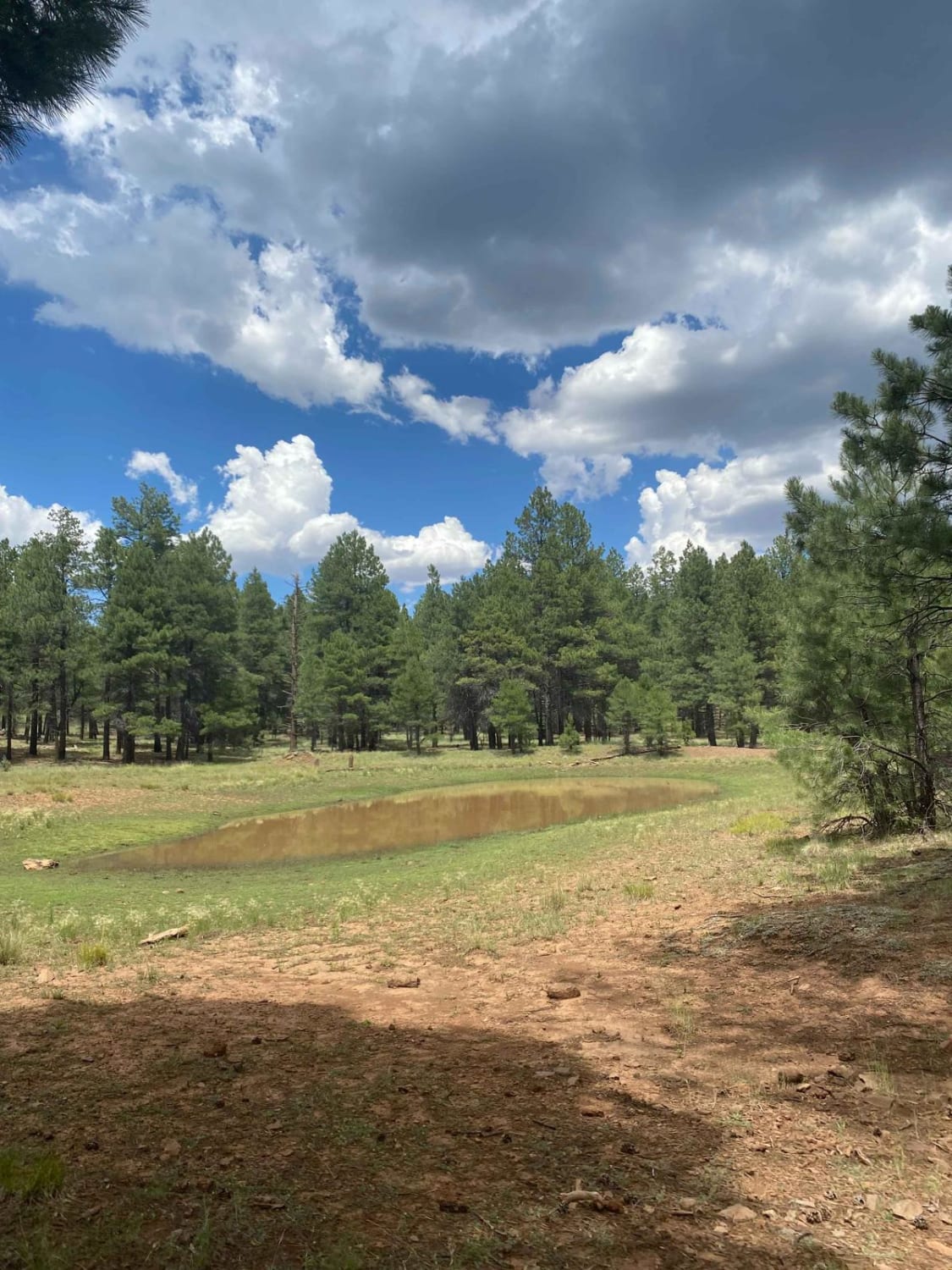
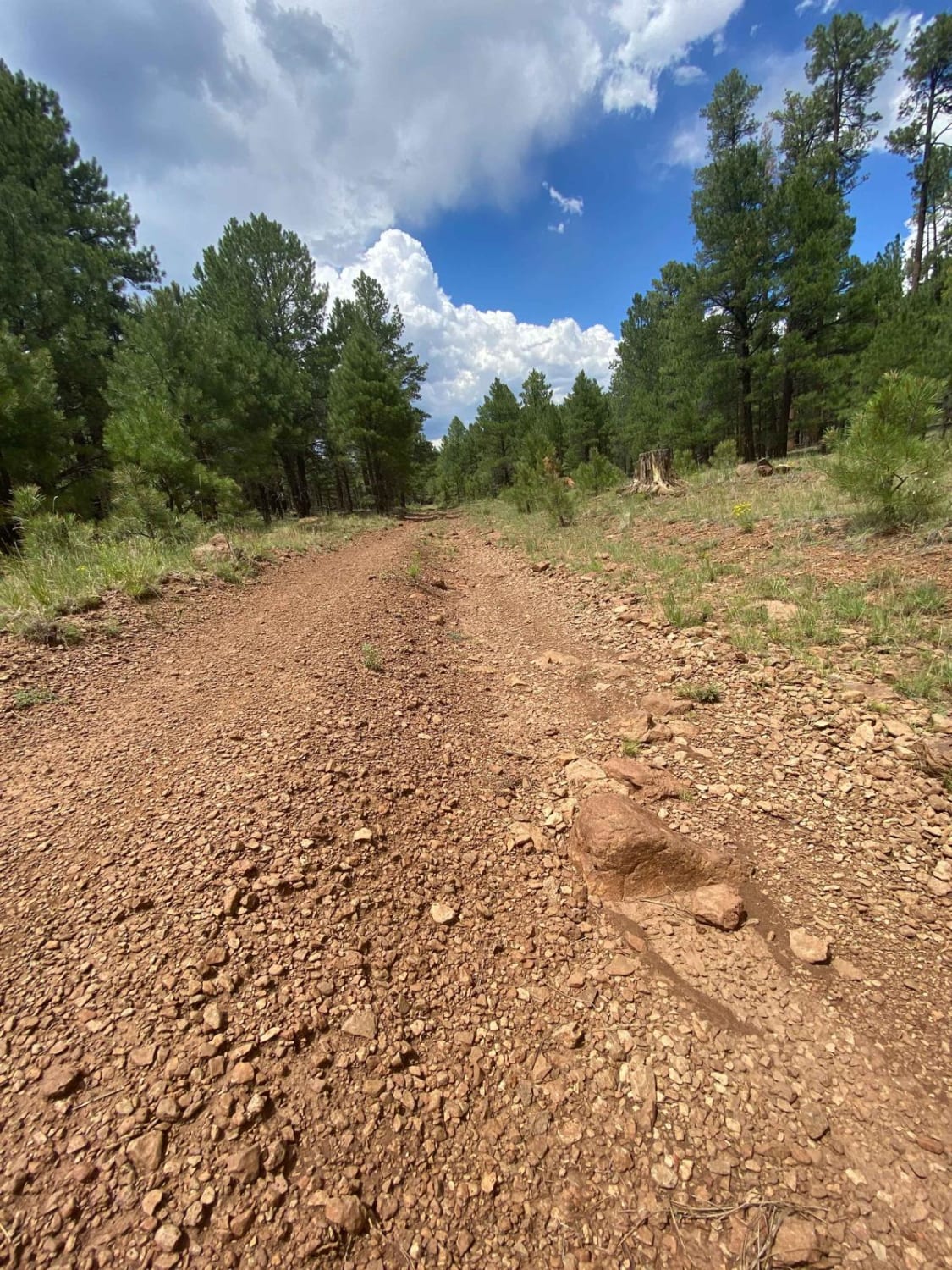
Trail Overview
This is a fun point-to-point trail under the pines of the Coconino National Forest near Munds Park, AZ, that can be utilized as a connector to other trails in the area. This 3.5-mile gradual incline is a mixture of rutted dirt and both loose and buried rocks. It's a bumpy but fun ride that will require high clearance and 4x4. There are multiple downed trees with bypasses present. Expect slick rocks, slippery wet clay, and mud puddles during or after storms. Leave gates as you find them. As always, be a steward and protect our public lands and national forests; observe Tread Lightly! Principles and have fun!
Photos of Red Clay Way
Difficulty
Expect a mixture of rutted dirt and both loose and buried rocks along the trail. Trail difficulty will increase during or after storms; expect slick rock, clay, and some mud puddles.
Status Reports
Red Clay Way can be accessed by the following ride types:
- High-Clearance 4x4
- SxS (60")
- ATV (50")
- Dirt Bike
Red Clay Way Map
Popular Trails
Cohenour Loop
FS 9602X-V Bar Tank

Wilbur Tank Trail

White Chief Mine
The onX Offroad Difference
onX Offroad combines trail photos, descriptions, difficulty ratings, width restrictions, seasonality, and more in a user-friendly interface. Available on all devices, with offline access and full compatibility with CarPlay and Android Auto. Discover what you’re missing today!